Numbered grid
Roads such as 200 Street follow the regional survey grid, a regular lattice that organises farms and suburbs alike and gives the map its underlying rhythm.
پوستر نقشه مینیمال · کانادا
49.1011° N / 122.6588° W
A patchwork of farmland and suburbs on a numbered road grid, bounded by the Fraser River and the US border.


یک شهر، پنج حالوهوا
روی یک سبک ضربه بزنید تا آن را روی دیوار ببینید. همه سبکها قیمت یکسانی دارند — چاپی، قابشده یا فایلهای HD.
 پیکسل واقعی · فایل چاپی ۲۴ × ۳۶ اینچ
وضوح چاپی
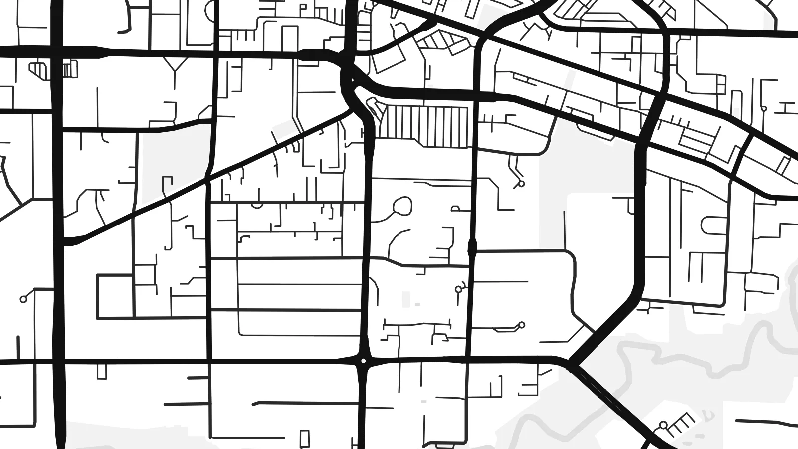
این یک برش ۱۰۰٪ از فایل چاپی واقعی است. هر پوستر — چاپی، قابشده یا دانلودی — روی سرورهای ما با کیفیت 300 DPI و تا 7,200 × 10,800 پیکسل رندر میشود، به همین دلیل حتی ریزترین خیابانها هم روی چاپ ۲۴ × ۳۶ اینچ واضح میمانند.
روی دیوار


نقشه
Langley sits in the Fraser Valley east of Vancouver, and the name covers two neighbouring municipalities: the compact City of Langley and the much larger Township that surrounds it. From above, the area is organised by a regular grid of numbered streets and avenues, the same system used across much of the region, with suburban neighbourhoods filling some squares and farms, nurseries and woodland filling others.
At its northern edge, the village of Fort Langley stands on the Fraser River near the site of a Hudson's Bay Company trading post founded in 1827. It was there, in 1858, that the colony of British Columbia was proclaimed, which gives the village its claim as the birthplace of the province. The southern boundary runs straight along the border with Washington State.
A Langley map poster shows a landscape halfway between city and country. The Trans-Canada Highway slices across the grid, clusters of cul-de-sacs mark newer neighbourhoods such as Willoughby, and the Fraser curves across the top with its islands and sloughs. The overall effect is orderly but never monotonous.
Roads such as 200 Street follow the regional survey grid, a regular lattice that organises farms and suburbs alike and gives the map its underlying rhythm.
The historic village sits on the south bank of the Fraser River, where the curve of the water and a small street pattern form a distinct corner of the map.
To the south, the international boundary with the United States runs perfectly straight, cutting across fields and roads in a way only a map can show.
شخصیسازی کنید
یک تاریخ، یک نام یا جملهای از خودتان اضافه کنید و سبک، اندازه یا جهت را تغییر دهید.
پیشنمایش رایگان کیفیت پایین و دارای واترمارک است. نسخههای چاپی و فایلهای HD با کیفیت 300 DPI، تا 7,200 × 10,800 پیکسل و بدون واترمارک رندر میشوند.
چرا Langley
Langley is where many families settle when they want space within reach of Vancouver, and a map of the area marks that choice. The mix of grid, river and open land also suits people who like a less crowded, more graphic image.
Add a title such as your neighbourhood, a subtitle and the coordinates, then pick one of the five styles. Digital files come in six sizes, including 18×24″ and 24×36″, and printed posters are available with an optional wooden frame.
سفارش پوستر Langley| اندازه چاپ | وضوح | فایلها |
|---|---|---|
| 30 × 40 cm (11.8 × 15.7″) | 3,543 × 4,724 px | PNG · PDF |
| 29.7 × 42 cm (A3, 11.7 × 16.5″) | 3,508 × 4,961 px | PNG · PDF |
| 42 × 59.4 cm (A2, 16.5 × 23.4″) | 4,961 × 7,016 px | PNG · PDF |
| 45.7 × 61 cm (18 × 24″) | 5,400 × 7,200 px | PNG · PDF |
| 50 × 70 cm (19.7 × 27.6″) | 5,906 × 8,268 px | PNG · PDF |
| 61 × 91.4 cm (24 × 36″) | 7,200 × 10,800 px | PNG · PDF |
برای مقایسه، پیشنمایش رایگان ۹۰۰ پیکسل عرض دارد، واترمارکدار است و برای نمایش روی صفحه در نظر گرفته شده. فایلهای HD در هر جهت تا ۸ برابر وضوح بیشتری دارند و در اندازه کامل پوستر بهخوبی چاپ میشوند.
یک سبک را از بالای صفحه انتخاب کنید، سپس پوستر چاپی — یک اندازه و در صورت تمایل یک قاب — یا فایلهای دیجیتال HD را انتخاب کنید. پرداخت فقط یک مرحله دارد و صفحه سفارش شما به محض تکمیل پرداخت بهروزرسانی میشود.
روی کاغذ مات پرمیوم ۲۰۰ گرمی و در یکی از شش اندازه، از ۳۰ × ۴۰ سانتیمتر تا ۲۴ × ۳۶ اینچ، چاپ میشود. قیمت پوسترهای چاپی از {printFrom} شروع میشود و هزینه ارسال هم شامل آن است.
بله. یک قاب چوب طبیعی به رنگ مشکی، سفید، بلوط طبیعی یا چوب تیره انتخاب کنید. این قاب با شیشه ضدشکست عرضه میشود و آماده نصب است. قیمت پوسترهای قابشده از {framedFrom} شروع میشود و هزینه ارسال هم شامل آن است.
ارسال در سراسر جهان رایگان است. هر پوستر توسط نزدیکترین شریک چاپ ما در بیش از ۳۰ کشور چاپ میشود و معمولاً طی ۳ تا ۷ روز کاری میرسد. میتوانید وضعیت و رهگیری سفارش را در بخش سفارشهای من دنبال کنید.
ظرف ۱۴ روز از تحویل، یک عکس برای ما بفرستید تا آن را بهصورت رایگان دوباره چاپ کنیم یا هزینهتان را بازگردانیم.
بله. در ویرایشگر همین صفحه، عنوان، زیرعنوان و خط مختصات را به دلخواه تغییر دهید و یک سبک و اندازه انتخاب کنید. سفارشهای چاپی، قابشده و دیجیتال همگی دقیقاً از طرح شما استفاده میکنند.
با $9 فایلهای PNG با کیفیت 300 DPI و فایلهای PDF آماده چاپ را در هر شش اندازه، بدون واترمارک، دریافت میکنید تا هر جا خواستید چاپ کنید. هنوز مطمئن نیستید؟ ابتدا یک پیشنمایش رایگان با واترمارک دانلود کنید.
