Clock tower centre
The central roundabout and clock tower anchor the small grid of commercial streets, which is the densest and most regular part of the map.
پوستر نقشه مینیمال · تانزانیا
3.3500° S / 37.3333° E
A town on the lower southern slopes of Kilimanjaro, crossed by streams running down toward the plains


یک شهر، پنج حالوهوا
روی یک سبک ضربه بزنید تا آن را روی دیوار ببینید. همه سبکها قیمت یکسانی دارند — چاپی، قابشده یا فایلهای HD.
 پیکسل واقعی · فایل چاپی ۲۴ × ۳۶ اینچ
وضوح چاپی
این یک برش ۱۰۰٪ از فایل چاپی واقعی است. هر پوستر — چاپی، قابشده یا دانلودی — روی سرورهای ما با کیفیت 300 DPI و تا 7,200 × 10,800 پیکسل رندر میشود، به همین دلیل حتی ریزترین خیابانها هم روی چاپ ۲۴ × ۳۶ اینچ واضح میمانند.
روی دیوار
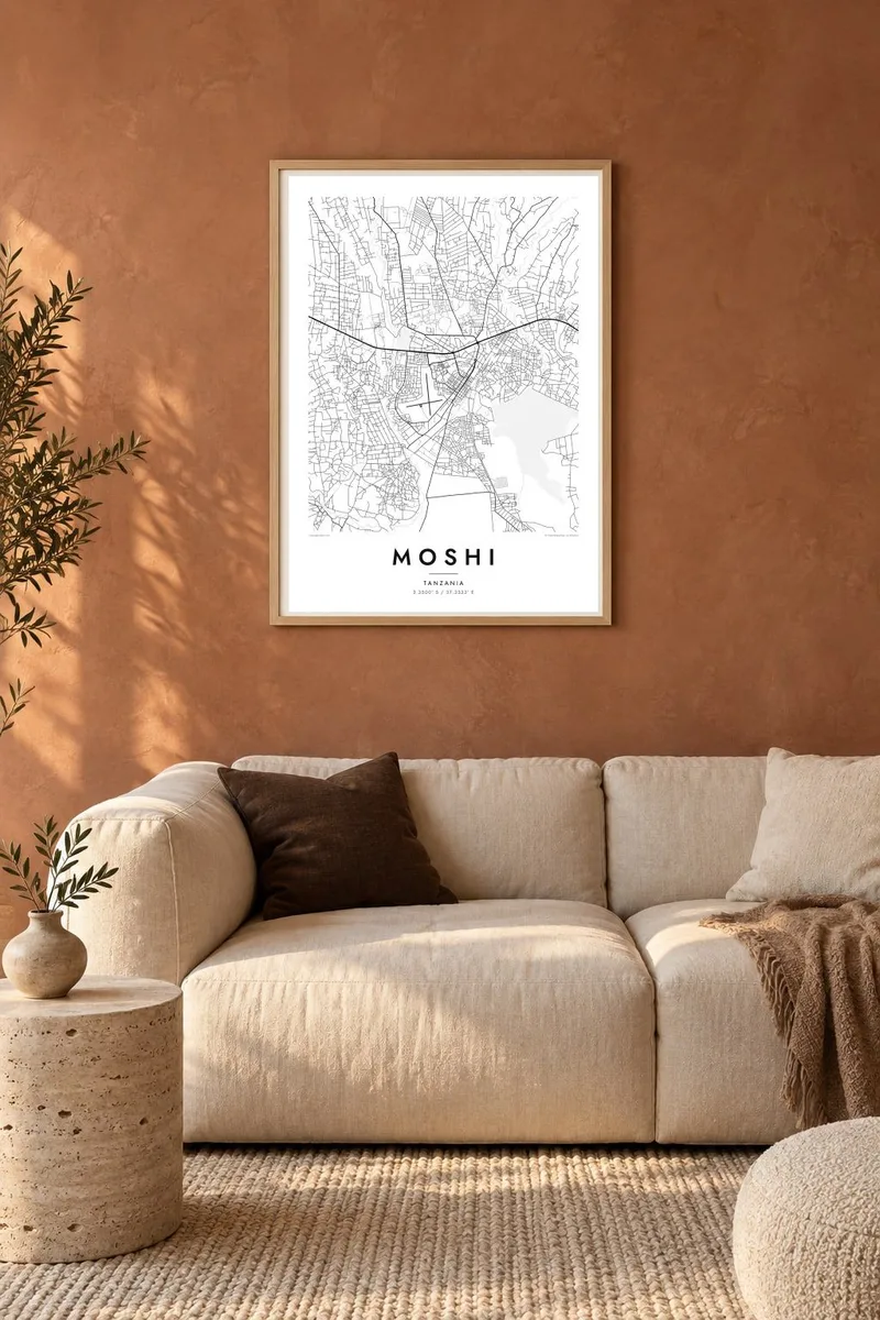
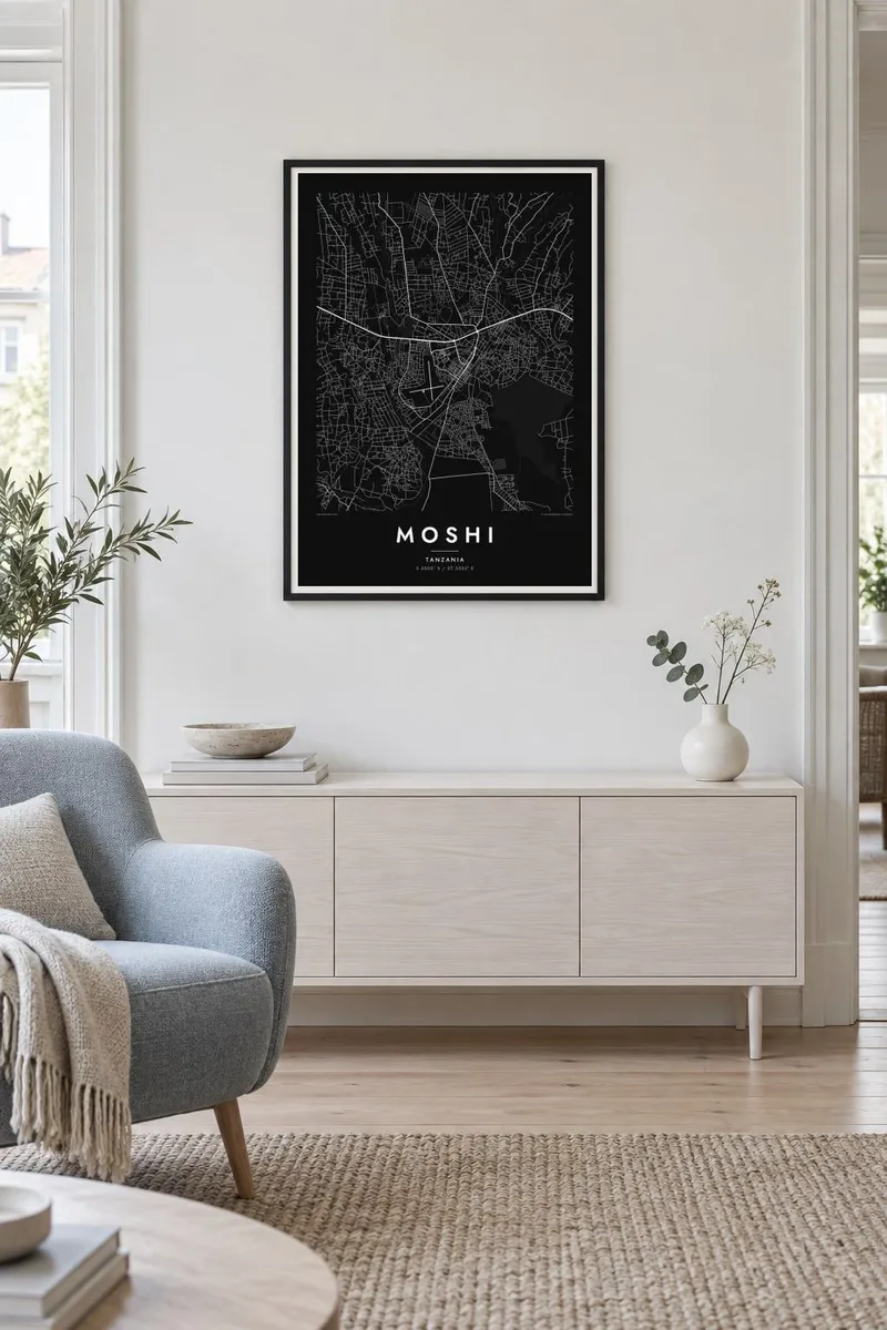
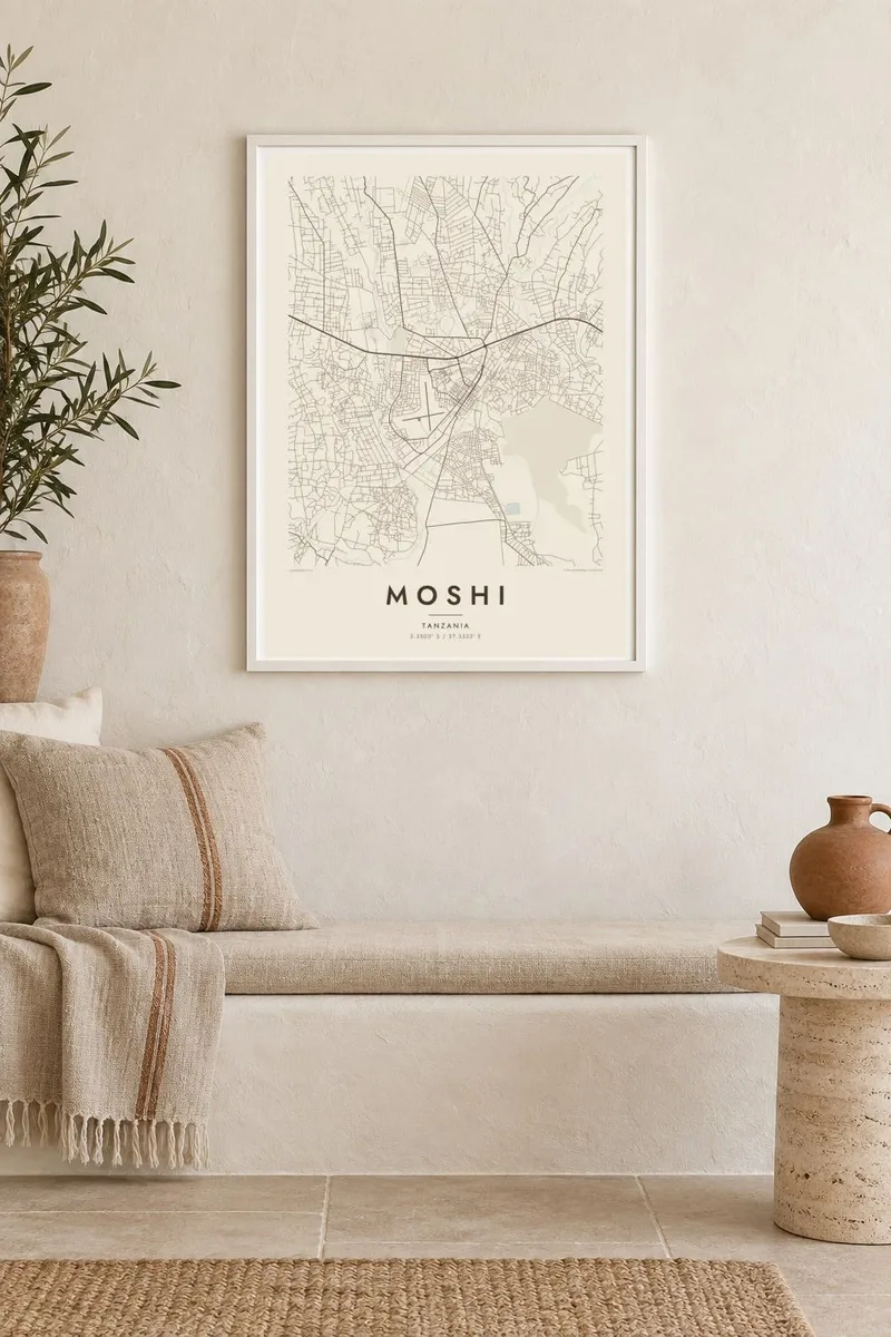
نقشه
Moshi lies at the foot of Mount Kilimanjaro in northern Tanzania, on the gently sloping ground where the mountain's lower flanks meet the plains. On a map the town centre is compact, with a grid of streets around the central market and the clock tower. Suburbs spread uphill to the north and outward along the main roads to Arusha and the Kenyan border.
Water shapes the land around the town. Streams fed by rain and meltwater from the mountain cut small valleys through Moshi and the villages around it on their way south to the plains. Above the town, the slopes are covered with a patchwork of farms and home gardens growing coffee and bananas. This landscape has supported the Chagga people for generations.
Moshi is the main starting point for climbs of Kilimanjaro, Africa's highest mountain, and trekkers pass through the town all year. A Moshi map poster sets its streets against the rising ground. The grid of the centre gives way to the fine lines of paths and farms as the land climbs toward the national park.
The central roundabout and clock tower anchor the small grid of commercial streets, which is the densest and most regular part of the map.
Streams coming down from Kilimanjaro cut shallow valleys across the town and its surroundings. They draw long, parallel lines running roughly north to south.
North of town, farmland and villages climb the mountain's lower slopes. The poster shifts gradually from urban streets to open terrain.
شخصیسازی کنید
یک تاریخ، یک نام یا جملهای از خودتان اضافه کنید و سبک، اندازه یا جهت را تغییر دهید.
پیشنمایش رایگان کیفیت پایین و دارای واترمارک است. نسخههای چاپی و فایلهای HD با کیفیت 300 DPI، تا 7,200 × 10,800 پیکسل و بدون واترمارک رندر میشوند.
چرا Moshi
Climbers who reached the summit, volunteers and students who stayed in Moshi, and families from the Kilimanjaro region all find meaning in this map. It marks a starting point, a home or a long season spent below the mountain.
Add the date of your climb or your stay, a title and a subtitle, and choose one of five styles, from Classic black & white to warm Sand. Download the HD files for $9, or order a matte print shipped from a partner close to you.
سفارش پوستر Moshi| اندازه چاپ | وضوح | فایلها |
|---|---|---|
| 30 × 40 cm (11.8 × 15.7″) | 3,543 × 4,724 px | PNG · PDF |
| 29.7 × 42 cm (A3, 11.7 × 16.5″) | 3,508 × 4,961 px | PNG · PDF |
| 42 × 59.4 cm (A2, 16.5 × 23.4″) | 4,961 × 7,016 px | PNG · PDF |
| 45.7 × 61 cm (18 × 24″) | 5,400 × 7,200 px | PNG · PDF |
| 50 × 70 cm (19.7 × 27.6″) | 5,906 × 8,268 px | PNG · PDF |
| 61 × 91.4 cm (24 × 36″) | 7,200 × 10,800 px | PNG · PDF |
برای مقایسه، پیشنمایش رایگان ۹۰۰ پیکسل عرض دارد، واترمارکدار است و برای نمایش روی صفحه در نظر گرفته شده. فایلهای HD در هر جهت تا ۸ برابر وضوح بیشتری دارند و در اندازه کامل پوستر بهخوبی چاپ میشوند.
یک سبک را از بالای صفحه انتخاب کنید، سپس پوستر چاپی — یک اندازه و در صورت تمایل یک قاب — یا فایلهای دیجیتال HD را انتخاب کنید. پرداخت فقط یک مرحله دارد و صفحه سفارش شما به محض تکمیل پرداخت بهروزرسانی میشود.
روی کاغذ مات پرمیوم ۲۰۰ گرمی و در یکی از شش اندازه، از ۳۰ × ۴۰ سانتیمتر تا ۲۴ × ۳۶ اینچ، چاپ میشود. قیمت پوسترهای چاپی از {printFrom} شروع میشود و هزینه ارسال هم شامل آن است.
بله. یک قاب چوب طبیعی به رنگ مشکی، سفید، بلوط طبیعی یا چوب تیره انتخاب کنید. این قاب با شیشه ضدشکست عرضه میشود و آماده نصب است. قیمت پوسترهای قابشده از {framedFrom} شروع میشود و هزینه ارسال هم شامل آن است.
ارسال در سراسر جهان رایگان است. هر پوستر توسط نزدیکترین شریک چاپ ما در بیش از ۳۰ کشور چاپ میشود و معمولاً طی ۳ تا ۷ روز کاری میرسد. میتوانید وضعیت و رهگیری سفارش را در بخش سفارشهای من دنبال کنید.
ظرف ۱۴ روز از تحویل، یک عکس برای ما بفرستید تا آن را بهصورت رایگان دوباره چاپ کنیم یا هزینهتان را بازگردانیم.
بله. در ویرایشگر همین صفحه، عنوان، زیرعنوان و خط مختصات را به دلخواه تغییر دهید و یک سبک و اندازه انتخاب کنید. سفارشهای چاپی، قابشده و دیجیتال همگی دقیقاً از طرح شما استفاده میکنند.
با $9 فایلهای PNG با کیفیت 300 DPI و فایلهای PDF آماده چاپ را در هر شش اندازه، بدون واترمارک، دریافت میکنید تا هر جا خواستید چاپ کنید. هنوز مطمئن نیستید؟ ابتدا یک پیشنمایش رایگان با واترمارک دانلود کنید.
