Hableh Rud oasis
River water from the Alborz spreads into a band of fields and orchards around the town. It is drawn as a dense web of plots and channels against the empty land beyond.
פוסטר מפה מינימליסטי · איראן
35.2182° N / 52.3409° E
A desert-edge town watered by the Hableh Rud, where irrigated fields and long rail lines meet the open plain.


עיר אחת, חמש אווירות
הקישו על סגנון כדי לראות אותו על הקיר. כל הסגנונות עולים אותו מחיר — מודפס, ממוסגר או כקבצי HD.
 פיקסלים אמיתיים · קובץ הדפסה 24 × 36″
חדות של הדפסה
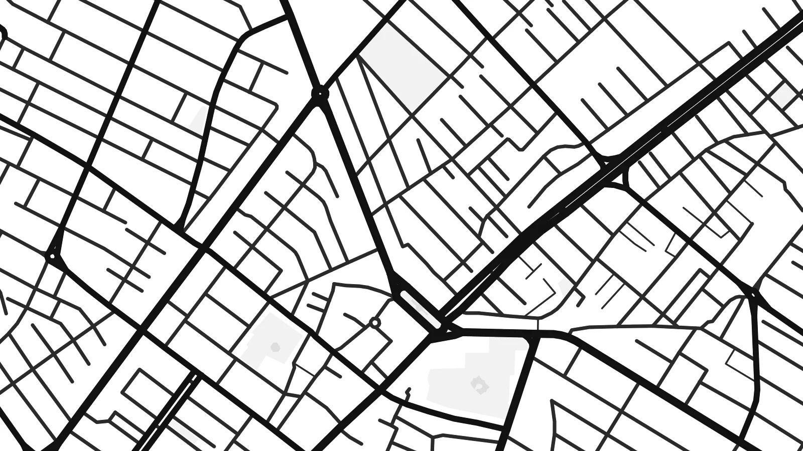
זהו קטע בגודל 100% מקובץ ההדפסה האמיתי. כל פוסטר — מודפס, ממוסגר או מורד — מעובד בשרתים שלנו ברזולוציה של 300 DPI, עד 7,200 × 10,800 פיקסלים, כך שאפילו הרחובות הקטנים ביותר נשארים חדים בהדפסה בגודל 24 × 36″.
על הקיר


המפה
Garmsār lies southeast of Tehran, where the foothills of the Alborz give way to dry plains running toward the Dasht-e Kavir. The name means roughly a warm place, and the setting explains it. The Hableh Rud comes down from the mountains here, and its water feeds a green patch of fields and orchards around the town in an otherwise arid landscape.
On a map, Garmsār is a compact grid of streets surrounded by a fine pattern of irrigated plots and channels, fading into bare ground at the edges. The railway is a strong feature. The main line east from Tehran toward Semnan and Mashhad passes through the town, drawing long, straight tracks across the plain.
A Garmsār map poster captures that meeting of water and dryness: the tidy blocks of the town, the soft texture of the farmland around it, and the long lines of road and rail heading out across the plain. It is an understated map with a strong sense of place and a lot of calm space.
River water from the Alborz spreads into a band of fields and orchards around the town. It is drawn as a dense web of plots and channels against the empty land beyond.
The line from Tehran toward Semnan and Mashhad crosses the map in one long, steady stroke. It is among the clearest features of the composition.
To the south, the fields give way to dry plains on the fringe of the Dasht-e Kavir, which leaves calm open space along the edge of the frame.
התאימו אישית
הוסיפו תאריך, שם או שורה משלכם, והחליפו סגנון, גודל או כיוון.
התצוגה המקדימה החינמית היא ברזולוציה נמוכה ועם סימן מים. ההדפסים וקבצי ה-HD מעובדים ברזולוציה של 300 DPI, עד 7,200 × 10,800 px, ללא סימן מים.
למה Garmsār
For people from Semnan province, and for anyone who has travelled the long road and rail route east from Tehran, the shape of Garmsār is familiar: a green patch and a small grid in a wide, bright landscape. The map records it with the same quiet economy.
Use the town name as the title or replace it with your own words, add a date to the subtitle, and edit the coordinates. The five styles include Sand, which suits the desert setting, along with Classic black & white, Noir, Paper and Blueprint.
הזמינו את פוסטר Garmsār| גודל הדפסה | רזולוציה | קבצים |
|---|---|---|
| 30 × 40 cm (11.8 × 15.7″) | 3,543 × 4,724 px | PNG · PDF |
| 29.7 × 42 cm (A3, 11.7 × 16.5″) | 3,508 × 4,961 px | PNG · PDF |
| 42 × 59.4 cm (A2, 16.5 × 23.4″) | 4,961 × 7,016 px | PNG · PDF |
| 45.7 × 61 cm (18 × 24″) | 5,400 × 7,200 px | PNG · PDF |
| 50 × 70 cm (19.7 × 27.6″) | 5,906 × 8,268 px | PNG · PDF |
| 61 × 91.4 cm (24 × 36″) | 7,200 × 10,800 px | PNG · PDF |
לשם השוואה, התצוגה המקדימה החינמית ברוחב 900 פיקסלים, עם סימן מים ומיועדת למסכים. לקובצי ה־HD רזולוציה גבוהה עד פי 8 בכל כיוון, והם מודפסים בצורה נקייה בגודל פוסטר מלא.
בחרו סגנון בראש העמוד, ואז בחרו פוסטר מודפס — גודל, ואם תרצו, גם מסגרת — או קבצי HD דיגיטליים. התשלום מתבצע בשלב אחד, ועמוד ההזמנה שלכם מתעדכן ברגע שהתשלום מאושר.
הוא מודפס על נייר מאט פרימיום במשקל 200 גרם, באחד משישה גדלים, מ-30 × 40 ס״מ ועד 24 × 36″. פוסטרים מודפסים מתחילים ב-$39, כולל משלוח.
כן. בחרו מסגרת מעץ מלא בשחור, לבן, אלון טבעי או עץ כהה. המסגרת מגיעה עם זכוכית בטיחותית ומוכנה לתלייה. פוסטרים ממוסגרים מתחילים ב-$99, כולל משלוח.
המשלוח חינם בכל העולם. כל פוסטר מודפס אצל שותף ההדפסה הקרוב ביותר אליכם, מבין שותפינו ביותר מ-30 מדינות, ובדרך כלל מגיע תוך 3–7 ימי עסקים. את הסטטוס ומעקב המשלוח אפשר לראות ב"ההזמנות שלי". למדינות מסוימות המשלוח לוקח 2–5 שבועות, ובמדינות שאליהן אנחנו עוד לא שולחים, האתר יודיע לכם לפני התשלום.
שלחו לנו תמונה תוך 14 יום מקבלת המשלוח, ואנחנו נדפיס אותו מחדש בחינם או נחזיר לכם את הכסף.
כן. בעורך שבעמוד הזה אפשר לשנות את הכותרת, כותרת המשנה ושורת הקואורדינטות לכל מה שתרצו, ולבחור סגנון וגודל. הזמנות מודפסות, ממוסגרות ודיגיטליות משתמשות בדיוק בעיצוב שלכם.
תמורת $9 תקבלו קבצי PNG ו-PDF מוכנים להדפסה ברזולוציה של 300 DPI, בכל שישה הגדלים, ללא סימן מים, להדפסה בכל מקום. עוד לא בטוחים? הורידו קודם תצוגה מקדימה חינמית עם סימן מים.
