Numbered grid
Roads such as 200 Street follow the regional survey grid, a regular lattice that organises farms and suburbs alike and gives the map its underlying rhythm.
פוסטר מפה מינימליסטי · קנדה
49.1011° N / 122.6588° W
A patchwork of farmland and suburbs on a numbered road grid, bounded by the Fraser River and the US border.


עיר אחת, חמש אווירות
הקישו על סגנון כדי לראות אותו על הקיר. כל הסגנונות עולים אותו מחיר — מודפס, ממוסגר או כקבצי HD.
 פיקסלים אמיתיים · קובץ הדפסה 24 × 36″
חדות של הדפסה
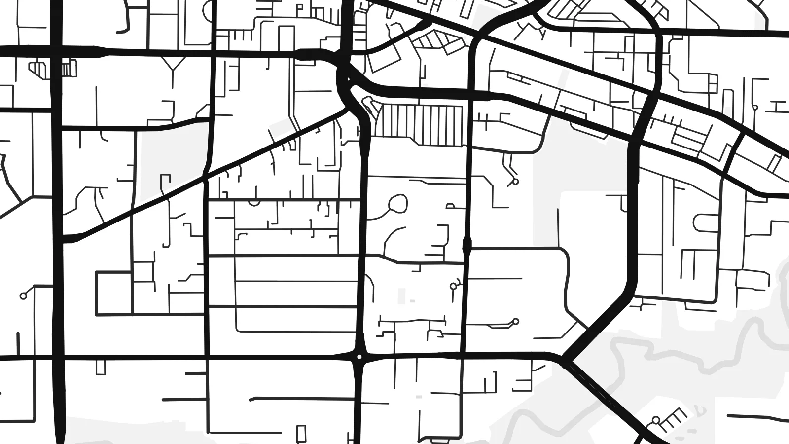
זהו קטע בגודל 100% מקובץ ההדפסה האמיתי. כל פוסטר — מודפס, ממוסגר או מורד — מעובד בשרתים שלנו ברזולוציה של 300 DPI, עד 7,200 × 10,800 פיקסלים, כך שאפילו הרחובות הקטנים ביותר נשארים חדים בהדפסה בגודל 24 × 36″.
על הקיר


המפה
Langley sits in the Fraser Valley east of Vancouver, and the name covers two neighbouring municipalities: the compact City of Langley and the much larger Township that surrounds it. From above, the area is organised by a regular grid of numbered streets and avenues, the same system used across much of the region, with suburban neighbourhoods filling some squares and farms, nurseries and woodland filling others.
At its northern edge, the village of Fort Langley stands on the Fraser River near the site of a Hudson's Bay Company trading post founded in 1827. It was there, in 1858, that the colony of British Columbia was proclaimed, which gives the village its claim as the birthplace of the province. The southern boundary runs straight along the border with Washington State.
A Langley map poster shows a landscape halfway between city and country. The Trans-Canada Highway slices across the grid, clusters of cul-de-sacs mark newer neighbourhoods such as Willoughby, and the Fraser curves across the top with its islands and sloughs. The overall effect is orderly but never monotonous.
Roads such as 200 Street follow the regional survey grid, a regular lattice that organises farms and suburbs alike and gives the map its underlying rhythm.
The historic village sits on the south bank of the Fraser River, where the curve of the water and a small street pattern form a distinct corner of the map.
To the south, the international boundary with the United States runs perfectly straight, cutting across fields and roads in a way only a map can show.
התאימו אישית
הוסיפו תאריך, שם או שורה משלכם, והחליפו סגנון, גודל או כיוון.
התצוגה המקדימה החינמית היא ברזולוציה נמוכה ועם סימן מים. ההדפסים וקבצי ה-HD מעובדים ברזולוציה של 300 DPI, עד 7,200 × 10,800 px, ללא סימן מים.
למה Langley
Langley is where many families settle when they want space within reach of Vancouver, and a map of the area marks that choice. The mix of grid, river and open land also suits people who like a less crowded, more graphic image.
Add a title such as your neighbourhood, a subtitle and the coordinates, then pick one of the five styles. Digital files come in six sizes, including 18×24″ and 24×36″, and printed posters are available with an optional wooden frame.
הזמינו את פוסטר Langley| גודל הדפסה | רזולוציה | קבצים |
|---|---|---|
| 30 × 40 cm (11.8 × 15.7″) | 3,543 × 4,724 px | PNG · PDF |
| 29.7 × 42 cm (A3, 11.7 × 16.5″) | 3,508 × 4,961 px | PNG · PDF |
| 42 × 59.4 cm (A2, 16.5 × 23.4″) | 4,961 × 7,016 px | PNG · PDF |
| 45.7 × 61 cm (18 × 24″) | 5,400 × 7,200 px | PNG · PDF |
| 50 × 70 cm (19.7 × 27.6″) | 5,906 × 8,268 px | PNG · PDF |
| 61 × 91.4 cm (24 × 36″) | 7,200 × 10,800 px | PNG · PDF |
לשם השוואה, התצוגה המקדימה החינמית ברוחב 900 פיקסלים, עם סימן מים ומיועדת למסכים. לקובצי ה־HD רזולוציה גבוהה עד פי 8 בכל כיוון, והם מודפסים בצורה נקייה בגודל פוסטר מלא.
בחרו סגנון בראש העמוד, ואז בחרו פוסטר מודפס — גודל, ואם תרצו, גם מסגרת — או קבצי HD דיגיטליים. התשלום מתבצע בשלב אחד, ועמוד ההזמנה שלכם מתעדכן ברגע שהתשלום מאושר.
הוא מודפס על נייר מאט פרימיום במשקל 200 גרם, באחד משישה גדלים, מ-30 × 40 ס״מ ועד 24 × 36″. פוסטרים מודפסים מתחילים ב-$39, כולל משלוח.
כן. בחרו מסגרת מעץ מלא בשחור, לבן, אלון טבעי או עץ כהה. המסגרת מגיעה עם זכוכית בטיחותית ומוכנה לתלייה. פוסטרים ממוסגרים מתחילים ב-$99, כולל משלוח.
המשלוח חינם בכל העולם. כל פוסטר מודפס אצל שותף ההדפסה הקרוב ביותר אליכם, מבין שותפינו ביותר מ-30 מדינות, ובדרך כלל מגיע תוך 3–7 ימי עסקים. את הסטטוס ומעקב המשלוח אפשר לראות ב"ההזמנות שלי". למדינות מסוימות המשלוח לוקח 2–5 שבועות, ובמדינות שאליהן אנחנו עוד לא שולחים, האתר יודיע לכם לפני התשלום.
שלחו לנו תמונה תוך 14 יום מקבלת המשלוח, ואנחנו נדפיס אותו מחדש בחינם או נחזיר לכם את הכסף.
כן. בעורך שבעמוד הזה אפשר לשנות את הכותרת, כותרת המשנה ושורת הקואורדינטות לכל מה שתרצו, ולבחור סגנון וגודל. הזמנות מודפסות, ממוסגרות ודיגיטליות משתמשות בדיוק בעיצוב שלכם.
תמורת $9 תקבלו קבצי PNG ו-PDF מוכנים להדפסה ברזולוציה של 300 DPI, בכל שישה הגדלים, ללא סימן מים, להדפסה בכל מקום. עוד לא בטוחים? הורידו קודם תצוגה מקדימה חינמית עם סימן מים.
