The Écusson
The old town's roughly shield-shaped outline, packed with narrow lanes and small squares, forms the densest area of the poster and is ringed by boulevards tracing the former walls.
פוסטר מפה מינימליסטי · צרפת
43.6109° N / 3.8763° E
A tight medieval shield of lanes on a low hill, with a neoclassical axis running east toward the River Lez.

עיר אחת, חמש אווירות
הקישו על סגנון כדי לראות אותו על הקיר. כל הסגנונות עולים אותו מחיר — מודפס, ממוסגר או כקבצי HD.
 פיקסלים אמיתיים · קובץ הדפסה 24 × 36″
חדות של הדפסה
זהו קטע בגודל 100% מקובץ ההדפסה האמיתי. כל פוסטר — מודפס, ממוסגר או מורד — מעובד בשרתים שלנו ברזולוציה של 300 DPI, עד 7,200 × 10,800 פיקסלים, כך שאפילו הרחובות הקטנים ביותר נשארים חדים בהדפסה בגודל 24 × 36″.
על הקיר

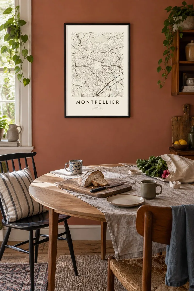
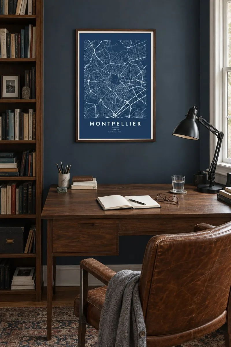
המפה
Montpellier grew up on a low hill a few kilometres inland from the Mediterranean, and its oldest quarter still stands out clearly on the map. Known as the Écusson, or shield, for its rough shape, the historic centre is a knot of narrow, winding streets enclosed by boulevards that follow the line of the vanished medieval walls. Around it, later districts spread in every direction.
At the western tip of the old town, the Promenade du Peyrou forms a formal terrace ending at a stone aqueduct, while on the eastern side the Place de la Comédie opens onto the Esplanade. Beyond lies Antigone, a district designed by Ricardo Bofill, whose long neoclassical axis runs straight down to the River Lez. The contrast between these shapes makes the city unusually graphic.
Montpellier is home to one of the oldest medical schools in the world still in operation, and it has become one of the fastest-growing large cities in France, linked by a network of distinctive tram lines. A Montpellier map poster captures its layered plan, from the medieval shield to the modern districts reaching toward the sea.
The old town's roughly shield-shaped outline, packed with narrow lanes and small squares, forms the densest area of the poster and is ringed by boulevards tracing the former walls.
East of the centre, Ricardo Bofill's Antigone district lines up monumental buildings along a single straight axis toward the River Lez, a striking piece of geometry among the surrounding streets.
On the western edge of the old town, the formal Promenade du Peyrou and the long stone aqueduct beyond it add a clean, straight line to the map's composition.
התאימו אישית
הוסיפו תאריך, שם או שורה משלכם, והחליפו סגנון, גודל או כיוון.
התצוגה המקדימה החינמית היא ברזולוציה נמוכה ועם סימן מים. ההדפסים וקבצי ה-HD מעובדים ברזולוציה של 300 DPI, עד 7,200 × 10,800 px, ללא סימן מים.
למה Montpellier
Montpellier is a city of students, doctors and people who came for a few years and stayed longer. Its map holds memories of lectures, terraces and summers near the coast, and the contrast between medieval lanes and Bofill's axis makes it striking on a wall.
Give the poster your own title and subtitle, perhaps the year you arrived or graduated, and edit the coordinates line. Choose among five styles, from Classic black & white to Paper, and download HD files for $9 or order a printed version on matte paper.
הזמינו את פוסטר Montpellier| גודל הדפסה | רזולוציה | קבצים |
|---|---|---|
| 30 × 40 cm11.8 × 15.7″ | 3,543 × 4,724 px | PNG · PDF |
| 29.7 × 42 cm (A3)11.7 × 16.5″ | 3,508 × 4,961 px | PNG · PDF |
| 42 × 59.4 cm (A2)16.5 × 23.4″ | 4,961 × 7,016 px | PNG · PDF |
| 45.7 × 61 cm18 × 24″ | 5,400 × 7,200 px | PNG · PDF |
| 50 × 70 cm19.7 × 27.6″ | 5,906 × 8,268 px | PNG · PDF |
| 61 × 91.4 cm24 × 36″ | 7,200 × 10,800 px | PNG · PDF |
לשם השוואה, התצוגה המקדימה החינמית ברוחב 900 פיקסלים, עם סימן מים ומיועדת למסכים. לקובצי ה־HD רזולוציה גבוהה עד פי 8 בכל כיוון, והם מודפסים בצורה נקייה בגודל פוסטר מלא.
בחרו סגנון בראש העמוד, ואז בחרו פוסטר מודפס — גודל, ואם תרצו, גם מסגרת — או קבצי HD דיגיטליים. התשלום מתבצע בשלב אחד, ועמוד ההזמנה שלכם מתעדכן ברגע שהתשלום מאושר.
הוא מודפס על נייר מאט פרימיום במשקל 200 גרם, באחד משישה גדלים, מ-30 × 40 ס״מ ועד 24 × 36″. פוסטרים מודפסים מתחילים ב-$39, כולל משלוח.
כן. בחרו מסגרת מעץ מלא בשחור, לבן, אלון טבעי או עץ כהה. המסגרת מגיעה עם זכוכית בטיחותית ומוכנה לתלייה. פוסטרים ממוסגרים מתחילים ב-$99, כולל משלוח.
המשלוח חינם ליותר מ-60 מדינות. כל פוסטר מודפס אצל שותף ההדפסה הקרוב ביותר מבין שותפינו ביותר מ-30 מדינות, ובדרך כלל מגיע תוך 3–7 ימי עסקים. אפשר לעקוב אחר הסטטוס ומספר המעקב בעמוד ההזמנות שלי. במדינות מסוימות המשלוח אורך 2–5 שבועות, ואם אנחנו עדיין לא שולחים ליעד שלך, האתר יודיע לך על כך לפני התשלום.
שלחו לנו תמונה תוך 14 יום מקבלת המשלוח, ואנחנו נדפיס אותו מחדש בחינם או נחזיר לכם את הכסף.
כן. בעורך שבעמוד הזה אפשר לשנות את הכותרת, כותרת המשנה ושורת הקואורדינטות לכל מה שתרצו, ולבחור סגנון וגודל. הזמנות מודפסות, ממוסגרות ודיגיטליות משתמשות בדיוק בעיצוב שלכם.
תמורת $9 תקבלו קבצי PNG ו-PDF מוכנים להדפסה ברזולוציה של 300 DPI, בכל שישה הגדלים, ללא סימן מים, להדפסה בכל מקום. עוד לא בטוחים? הורידו קודם תצוגה מקדימה חינמית עם סימן מים.
