Māngere Mountain
A volcanic cone rises above the suburb with its crater still visible. On the map it forms a round open space ringed by streets.
Minimalistički poster s kartom · Novi Zeland
36.9681° S / 174.7988° E
A South Auckland suburb between volcanic cones and the tidal Manukau Harbour, with the airport runway stretching along its shore.

Jedan grad, pet ugođaja
Dodirnite stil da ga vidite na zidu. Svi stilovi koštaju isto — tiskani, uokvireni ili kao HD datoteke.
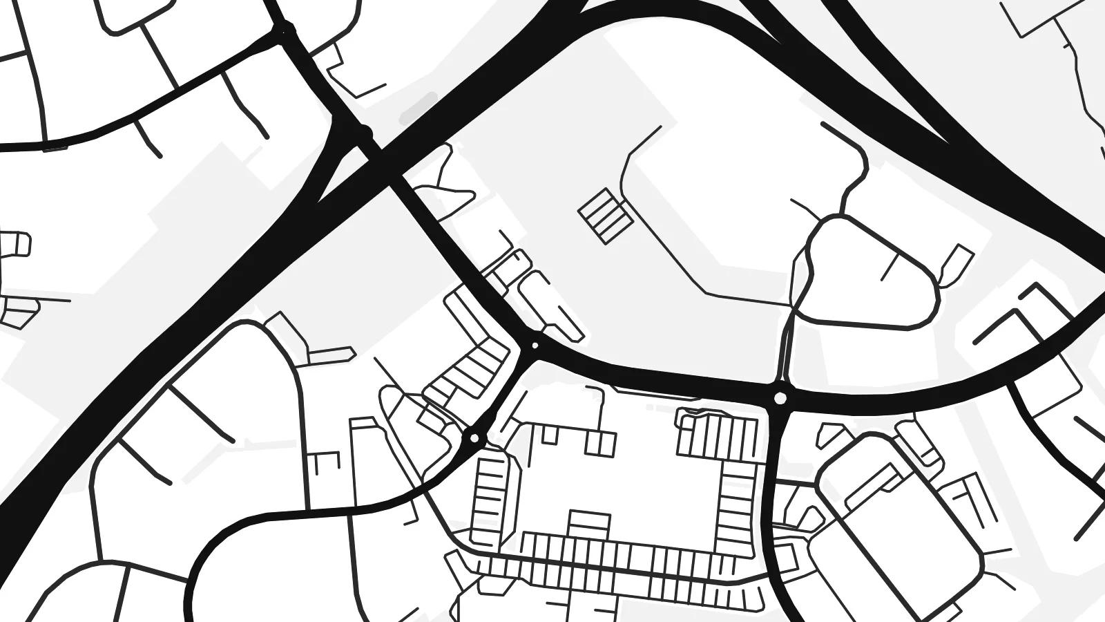 Stvarni pikseli · print datoteka 24 × 36″
Oštro za tisak
Ovo je 100% izrezak stvarne print datoteke. Svaki poster — tiskani, uokvireni ili preuzet — renderira se na našim serverima u 300 DPI, do 7,200 × 10,800 piksela, tako da čak i najsitnije linije ostanu oštre na ispisu 24 × 36″.
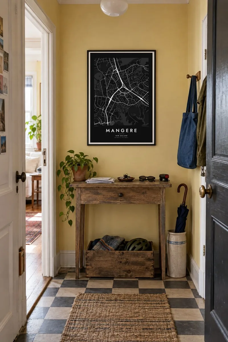
Na zidu


Karta
Māngere lies in South Auckland on the northeastern shore of the Manukau Harbour. It is one of the most distinctive areas of the city to see from above. The coastline is full of tidal inlets and mudflats, and several volcanic cones rise from the suburban streets, part of the Auckland volcanic field. The largest, Māngere Mountain, keeps its crater shape and appears on the map as a round patch of open ground.
To the south stretches Auckland Airport, whose long runway runs parallel to the harbour on low, flat land. It is one of the strongest straight lines anywhere in the region. A Mangere map poster sets that engineered geometry against the curving residential streets and the irregular coastline, a contrast that makes the composition striking.
To the north, Māngere Bridge crosses the harbour inlet toward Onehunga. Along the shore, Ambury Regional Park and the stonefields near Ihumātao preserve open land with long Māori and early farming history. Today Māngere is known for its large Pasifika and Māori communities, and its streets, parks and marae carry that identity.
A volcanic cone rises above the suburb with its crater still visible. On the map it forms a round open space ringed by streets.
The long runway of Auckland Airport runs beside the Manukau Harbour, a single precise line that dominates the southern part of the poster.
Tidal inlets, mudflats and coastal parks such as Ambury shape an indented edge where the suburb meets the harbour, giving the map a complex outline.
Prilagodite ga sebi
Dodajte datum, ime ili vlastiti redak teksta, promijenite stil, veličinu ili orijentaciju.
Besplatni pregled je niske rezolucije s vodenim žigom. Tiskani posteri i HD datoteke renderiraju se u 300 DPI, do 7,200 × 10,800 px, bez vodenog žiga.
Zašto Mangere
Māngere is where many families landed in New Zealand and built their lives. A map of it holds the streets, the mountain and the harbour, and makes a meaningful gift for anyone whose story runs through South Auckland.
Write a title, add a subtitle such as a family name or a year, and keep the coordinates, then pick Classic black & white, Noir, Paper, Blueprint or Sand. HD files are $9, and printed posters on matte paper can come with an optional wooden frame.
Naručite poster Mangere| Veličina otiska | Rezolucija | Datoteke |
|---|---|---|
| 30 × 40 cm11.8 × 15.7″ | 3,543 × 4,724 px | PNG · PDF |
| 29.7 × 42 cm (A3)11.7 × 16.5″ | 3,508 × 4,961 px | PNG · PDF |
| 42 × 59.4 cm (A2)16.5 × 23.4″ | 4,961 × 7,016 px | PNG · PDF |
| 45.7 × 61 cm18 × 24″ | 5,400 × 7,200 px | PNG · PDF |
| 50 × 70 cm19.7 × 27.6″ | 5,906 × 8,268 px | PNG · PDF |
| 61 × 91.4 cm24 × 36″ | 7,200 × 10,800 px | PNG · PDF |
Za usporedbu, besplatni pregled širok je 900 px, ima vodeni žig i namijenjen je zaslonima. HD datoteke imaju do 8× veću rezoluciju u svakom smjeru i čisto se tiskaju u punoj veličini postera.
Odaberite stil na vrhu stranice, a zatim Tiskani poster — veličinu i, ako želite, okvir — ili Digitalne HD datoteke. Naplata traje samo jedan korak, a stranica vaše narudžbe ažurira se čim plaćanje prođe.
Tiska se na premium mat papiru 200 g/m² u jednoj od šest veličina, od 30 × 40 cm do 24 × 36″. Tiskani posteri kreću od $39, dostava uključena.
Da. Odaberite okvir od masivnog drveta u crnoj, bijeloj, prirodnoj hrastovoj ili tamnoj boji drveta. Dolazi sa staklom otpornim na lom i spreman je za vješanje. Uokvireni posteri kreću od $99, dostava uključena.
Dostava je besplatna u 60+ zemalja. Svaki poster tiska najbliži od naših partnera za tisak u 30+ zemalja, a obično stiže za 3–7 radnih dana. Status i praćenje pošiljke možete pratiti u odjeljku Moje narudžbe. Za nekoliko zemalja dostava traje 2–5 tjedana, a ako još ne dostavljamo u vašu zemlju, stranica će vas na to upozoriti prije plaćanja.
Pošaljite nam fotografiju u roku od 14 dana od dostave i besplatno ćemo ga ponovno tiskati ili vratiti novac.
Da. U uređivaču na ovoj stranici promijenite naslov, podnaslov i redak s koordinatama u što god želite, te odaberite stil i veličinu. Tiskane, uokvirene i digitalne narudžbe koriste točno vaš dizajn.
Za $9 dobivate 300 DPI PNG i PDF datoteke spremne za tisak u svih šest veličina, bez vodenog žiga, za ispis bilo gdje. Niste sigurni? Prvo preuzmite besplatan pregled s vodenim žigom.
U blizini
