Southern isthmus
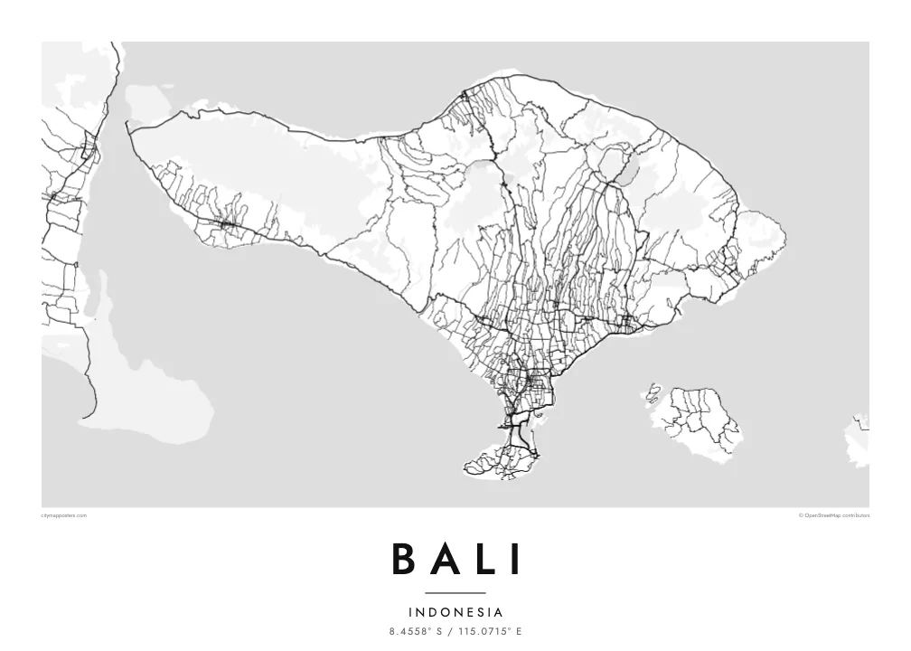
A thin strip of land joins the main island to the Bukit peninsula, and the airport runway reaches out into the water beside it. It is the most recognisable detail of Bali's outline.
Postè kat minimalis · Indonesia
8.4558° S / 115.0715° E
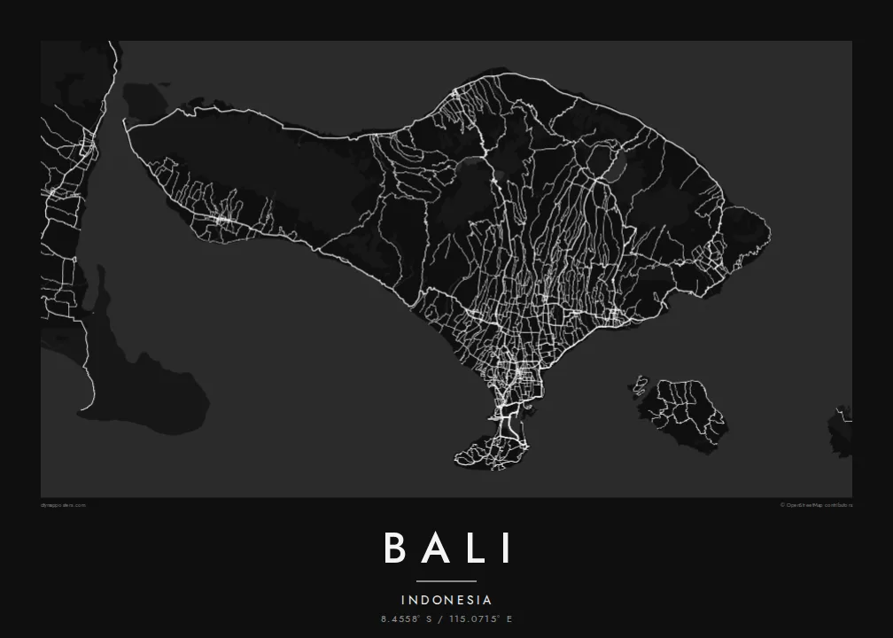
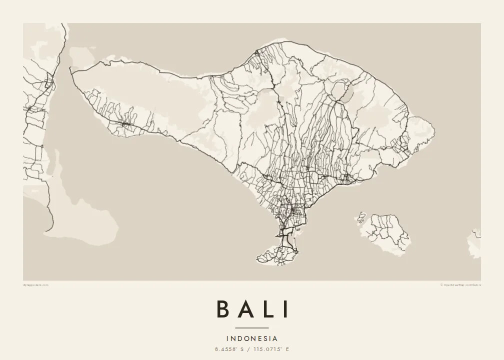
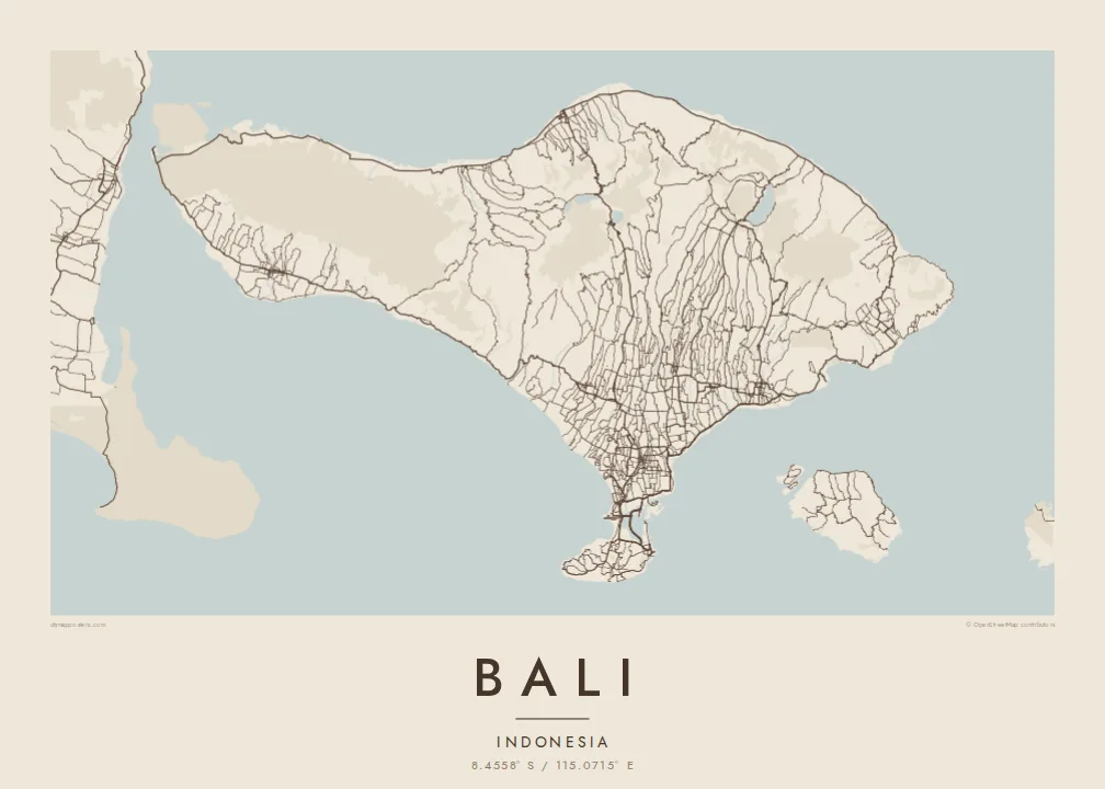
A wide volcanic island with a chain of peaks across its north, terraced slopes below and a peninsula hanging from the south.

Yon vil, senk atmosfè
Peze yon style pou wè li sou mi a. Chak style koute menm pri — enprime, ankadre oswa kòm fichye HD.
 Piksèl reyèl · fichye enpresyon 24 × 36″
Byen klè pou enprime
Sa a se yon zoom 100% sou vrè fichye enpresyon an. Chak afich — enprime, ankadre oswa telechaje — jenere sou sèvè nou yo nan 300 DPI, jiska 7,200 × 10,800 piksèl, konsa menm pi piti wout yo rete klè sou yon enpresyon 24 × 36″.
Sou mi a


Kat la
Bali is an Indonesian island between Java and Lombok, wider from west to east than it is from north to south. A line of volcanoes runs across its northern half, from the forested west to Mount Agung, the highest peak, in the east. Mount Batur stands inside a vast caldera beside a large lake, and further west the crater lakes of Bratan, Buyan and Tamblingan lie close together.
South of the mountains, rivers cut long parallel valleys through slopes of rice terraces watered by the subak system, a traditional cooperative irrigation practice recognised by UNESCO. On a Bali map poster these valleys show as fine north-south lines, with roads following the ridges between them toward Ubud and down to the southern plain.
Most of the island's population and traffic gather in the south, around Denpasar, Kuta, Sanur and Seminyak. There, a narrow isthmus carries the airport, whose runway extends into the sea, toward the Bukit peninsula, a limestone plateau with steep cliffs. Bali is the only Hindu-majority province in Indonesia, and its temple sites range from sea cliffs to crater lakes.
A thin strip of land joins the main island to the Bukit peninsula, and the airport runway reaches out into the water beside it. It is the most recognisable detail of Bali's outline.
In the northeast, a wide volcanic basin holds Mount Batur and its lake, surrounded by a steep rim traced by roads and villages.
Rivers flowing south from the mountains carve closely spaced valleys, and the roads between them form a fine, combed pattern across the centre of the island.
Fè l pou ou
Ajoute yon dat, yon non oswa pwòp fraz pa w, chanje estil, gwosè oswa oryantasyon.
Apèsi gratis la se nan rezolisyon ba avèk yon watèrmak. Enpresyon ak fichye HD yo jenere nan 300 DPI, jiska 7,200 × 10,800 px, san watèrmak.
Poukisa Bali
Bali is a place many people return to year after year, and some make it home. A map of the whole island holds the beaches of the south, the town of Ubud and the volcanoes of the north in one image that works in a bedroom, office or villa.
Choose the title, add a subtitle with a honeymoon date or a village name, and set the coordinates line. Select from five styles: Classic, Noir, Paper, Blueprint and Sand. Printed posters come on matte paper, with an optional wooden frame, from partners in 30+ countries.
Kòmande afich Bali a| Gwosè enpresyon | Rezolisyon | Fichye |
|---|---|---|
| 30 × 40 cm (11.8 × 15.7″) | 3,543 × 4,724 px | PNG · PDF |
| 29.7 × 42 cm (A3, 11.7 × 16.5″) | 3,508 × 4,961 px | PNG · PDF |
| 42 × 59.4 cm (A2, 16.5 × 23.4″) | 4,961 × 7,016 px | PNG · PDF |
| 45.7 × 61 cm (18 × 24″) | 5,400 × 7,200 px | PNG · PDF |
| 50 × 70 cm (19.7 × 27.6″) | 5,906 × 8,268 px | PNG · PDF |
| 61 × 91.4 cm (24 × 36″) | 7,200 × 10,800 px | PNG · PDF |
Pou konpare, apèsi gratis la gen 900 px lajè, li gen filigràn epi li fèt pou ekran. Fichye HD yo gen jiska 8 fwa plis rezolisyon nan chak direksyon epi yo enprime pwòp nan gwosè postè konplè.
Chwazi yon style anlè paj la, epi chwazi Afich Enprime — yon gwosè epi, si w vle, yon kad — oswa Fichye Dijital HD. Peman an fèt nan yon sèl etap, epi paj kòmand ou a mete ajou kou peman an konfime.
Li enprime sou papye mat premium 200 gsm nan youn nan sis gwosè, soti nan 30 × 40 cm rive nan 24 × 36″. Afich enprime yo kòmanse nan $39, livrezon enkli.
Wi. Chwazi yon kad an bwa solid nan koulè nwa, blan, chenn natirèl oswa bwa fonse. Li vin ak yon vit ki pa kase epi li pare pou pandye. Afich ankadre yo kòmanse nan $99, livrezon enkli.
Livrezon an gratis nan tout mond lan. Se pi pwòch nan patnè enprimri nou yo nan plis pase 30 peyi ki enprime chak afich la, epi li anjeneral rive nan 3–7 jou ouvrab. Ou ka swiv estati ak swivi kolis la nan Kòmand mwen yo. Gen kèk peyi ki pran 2–5 semèn, e kote nou poko livre a, sit la di w anvan ou peye.
Voye nou yon foto nan 14 jou apre livrezon an epi nou ap reenprime li gratis oswa remèt ou lajan w.
Wi. Nan editè a sou paj sa a, chanje tit la, soutit la ak liy kowòdone yo pou nenpòt sa w vle, epi chwazi yon style ak yon gwosè. Kòmand enprime, ankadre ak dijital yo tout itilize egzakteman desen w lan.
Pou $9 ou jwenn fichye PNG 300 DPI ak PDF pare-pou-enprime nan tout sis gwosè yo, san watèrmak, pou enprime kote w vle. Pa sèten toujou? Telechaje yon apèsi gratis ak watèrmak anvan.
