Lake Michigan shore
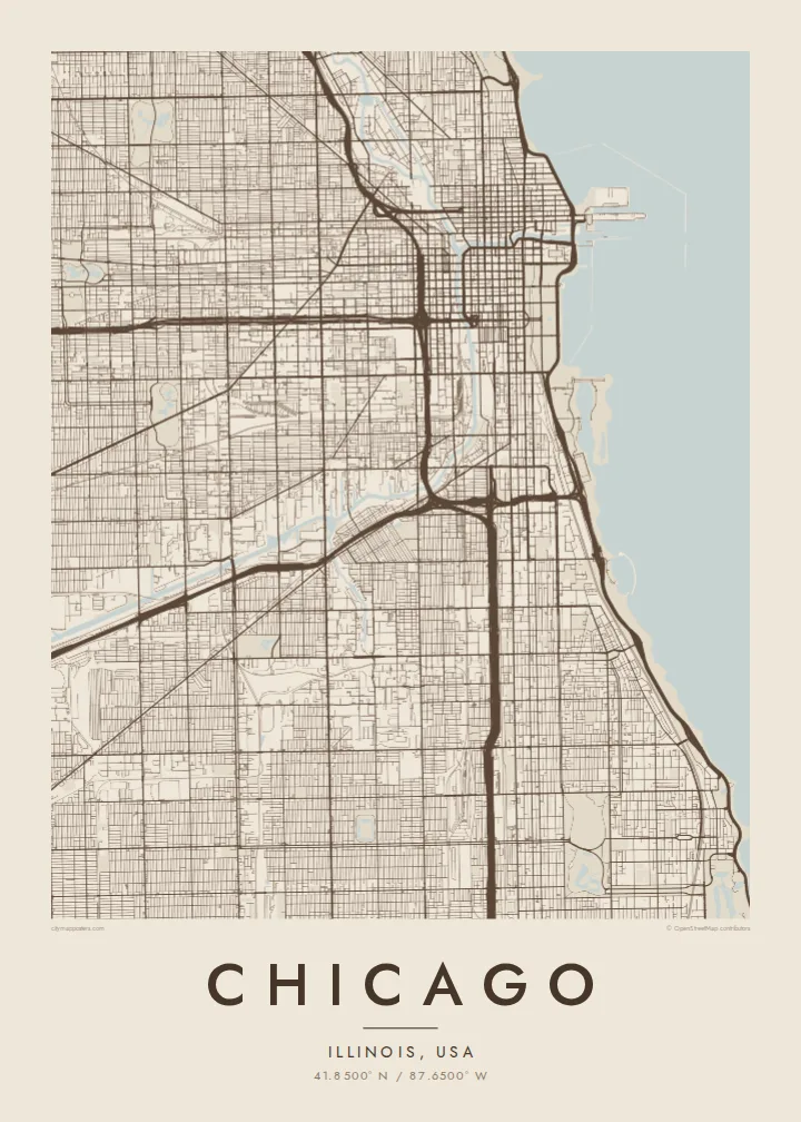
The city's eastern edge is a long, almost straight shoreline, broken by harbours, beaches and parkland. On the poster it reads as a single confident line against open water.
Postè kat minimalis · United States
41.8500° N / 87.6500° W
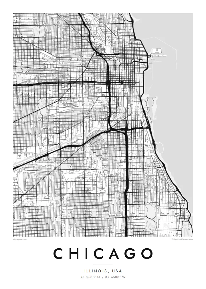
A vast street grid pressed against Lake Michigan, split by a forked river and crossed by long diagonal avenues.
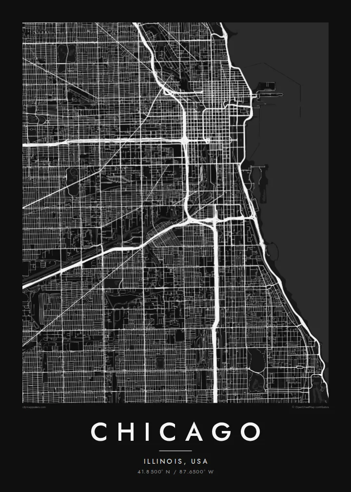
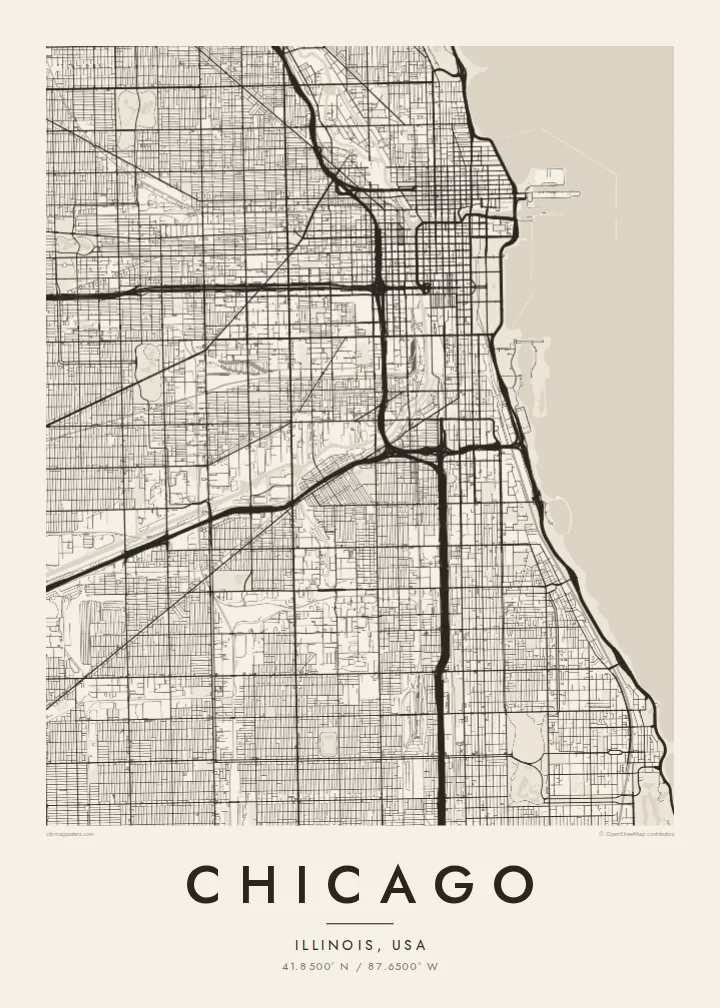
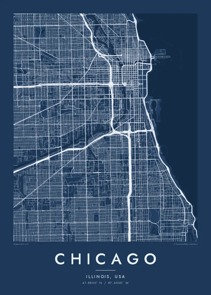
Yon vil, senk atmosfè
Peze yon style pou wè li sou mi a. Chak style koute menm pri — enprime, ankadre oswa kòm fichye HD.
 Piksèl reyèl · fichye enpresyon 24 × 36″
Byen klè pou enprime
Sa a se yon zoom 100% sou vrè fichye enpresyon an. Chak afich — enprime, ankadre oswa telechaje — jenere sou sèvè nou yo nan 300 DPI, jiska 7,200 × 10,800 piksèl, konsa menm pi piti wout yo rete klè sou yon enpresyon 24 × 36″.
Sou mi a


Kat la
Chicago is one of the clearest grid cities in the world. Addresses are numbered from a single origin at State and Madison streets downtown, and the streets run north–south and east–west with remarkable regularity, usually eight blocks to the mile. Cutting across the grid are a handful of older diagonal routes, such as Milwaukee, Ogden and Archer avenues, which follow early trails into the city.
To the east, the grid stops at Lake Michigan, and a long chain of lakefront parks runs along much of the shoreline, from Lincoln Park in the north to Jackson Park in the south. The Chicago River enters the lake beside the Loop and splits into north and south branches, famous for having had its flow reversed in 1900 to carry water away from the lake.
The Loop, the downtown business district, takes its name from the ring of elevated rail tracks that circles it. A Chicago map poster makes the logic of the city visible at once: the ruled grid, the angled diagonals, the branching river and the long clean edge of the lake, all of it holding together across a very large area.
The city's eastern edge is a long, almost straight shoreline, broken by harbours, beaches and parkland. On the poster it reads as a single confident line against open water.
The Chicago River runs inland from the lake and divides into a north and a south branch, a Y shape threaded with bridges near downtown.
Several old routes run at an angle across the regular grid, creating triangular blocks and six-way intersections that stand out immediately against the square pattern.
Fè l pou ou
Ajoute yon dat, yon non oswa pwòp fraz pa w, chanje estil, gwosè oswa oryantasyon.
Apèsi gratis la se nan rezolisyon ba avèk yon watèrmak. Enpresyon ak fichye HD yo jenere nan 300 DPI, jiska 7,200 × 10,800 px, san watèrmak.
Poukisa Chicago
Chicagoans often identify with a neighbourhood, a side of town or a stretch of the lakefront, and the grid makes it easy to find your own corner on the map. It also works well for anyone who has moved away and misses the city.
Add a title, a subtitle with a year or neighbourhood, and your own coordinates. Choose from Classic black & white, Noir, Paper, Blueprint and Sand, then order a print from a nearby partner or download the HD files for $9.
Kòmande afich Chicago a| Gwosè enpresyon | Rezolisyon | Fichye |
|---|---|---|
| 30 × 40 cm (11.8 × 15.7″) | 3,543 × 4,724 px | PNG · PDF |
| 29.7 × 42 cm (A3, 11.7 × 16.5″) | 3,508 × 4,961 px | PNG · PDF |
| 42 × 59.4 cm (A2, 16.5 × 23.4″) | 4,961 × 7,016 px | PNG · PDF |
| 45.7 × 61 cm (18 × 24″) | 5,400 × 7,200 px | PNG · PDF |
| 50 × 70 cm (19.7 × 27.6″) | 5,906 × 8,268 px | PNG · PDF |
| 61 × 91.4 cm (24 × 36″) | 7,200 × 10,800 px | PNG · PDF |
Pou konpare, apèsi gratis la gen 900 px lajè, li gen filigràn epi li fèt pou ekran. Fichye HD yo gen jiska 8 fwa plis rezolisyon nan chak direksyon epi yo enprime pwòp nan gwosè postè konplè.
Chwazi yon style anlè paj la, epi chwazi Afich Enprime — yon gwosè epi, si w vle, yon kad — oswa Fichye Dijital HD. Peman an fèt nan yon sèl etap, epi paj kòmand ou a mete ajou kou peman an konfime.
Li enprime sou papye mat premium 200 gsm nan youn nan sis gwosè, soti nan 30 × 40 cm rive nan 24 × 36″. Afich enprime yo kòmanse nan {printFrom}, livrezon enkli.
Wi. Chwazi yon kad an bwa solid nan koulè nwa, blan, chenn natirèl oswa bwa fonse. Li vin ak yon vit ki pa kase epi li pare pou pandye. Afich ankadre yo kòmanse nan {framedFrom}, livrezon enkli.
Livrezon an gratis nan tout mond lan. Se pi pwòch nan patnè enprimri nou yo nan plis pase 30 peyi ki enprime chak afich la, epi li anjeneral rive nan 3–7 jou ouvrab. Ou ka swiv estati ak swivi kolis la nan Kòmand mwen yo. Gen kèk peyi ki pran 2–5 semèn, e kote nou poko livre a, sit la di w anvan ou peye.
Voye nou yon foto nan 14 jou apre livrezon an epi nou ap reenprime li gratis oswa remèt ou lajan w.
Wi. Nan editè a sou paj sa a, chanje tit la, soutit la ak liy kowòdone yo pou nenpòt sa w vle, epi chwazi yon style ak yon gwosè. Kòmand enprime, ankadre ak dijital yo tout itilize egzakteman desen w lan.
Pou $9 ou jwenn fichye PNG 300 DPI ak PDF pare-pou-enprime nan tout sis gwosè yo, san watèrmak, pou enprime kote w vle. Pa sèten toujou? Telechaje yon apèsi gratis ak watèrmak anvan.
