Barelang bridges
A chain of six bridges links Batam with the islands to its south, drawn as thin lines hopping across open water between coastlines.
Postè kat minimalis · Indonesia
1.1494° N / 104.0249° E
An island city facing Singapore across a narrow strait, its coastline ragged with bays, reservoirs and a chain of bridges.


Yon vil, senk atmosfè
Peze yon style pou wè li sou mi a. Chak style koute menm pri — enprime, ankadre oswa kòm fichye HD.
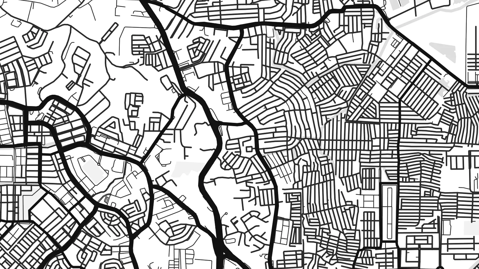 Piksèl reyèl · fichye enpresyon 24 × 36″
Byen klè pou enprime
Sa a se yon zoom 100% sou vrè fichye enpresyon an. Chak afich — enprime, ankadre oswa telechaje — jenere sou sèvè nou yo nan 300 DPI, jiska 7,200 × 10,800 piksèl, konsa menm pi piti wout yo rete klè sou yon enpresyon 24 × 36″.
Sou mi a


Kat la
Batam is an island, and its map is defined by water on every side. The coastline is deeply indented with bays, inlets and mangrove edges, while the interior holds several reservoirs that collect the island's fresh water. Singapore lies only a short distance to the north across the Singapore Strait, reached by frequent ferries from Batam's harbours.
The urban pattern is scattered rather than centralised. Commercial districts such as Nagoya cluster near the northern coast, while industrial estates, housing areas and port facilities spread across the island along a network of main roads. Large blocks mark factories and shipyards, reflecting Batam's development as a free trade and manufacturing zone from the 1970s onward.
A Batam map poster shows a place shaped by its position on one of the world's busiest shipping routes. To the south, the Barelang bridges connect Batam to the neighbouring islands of Rempang and Galang.
A chain of six bridges links Batam with the islands to its south, drawn as thin lines hopping across open water between coastlines.
Several inland reservoirs appear as irregular water shapes within the island, giving the interior its own set of shorelines.
The northern coast faces the Singapore Strait, with ferry terminals and harbour basins marking the closest point to the neighbouring city-state.
Fè l pou ou
Ajoute yon dat, yon non oswa pwòp fraz pa w, chanje estil, gwosè oswa oryantasyon.
Apèsi gratis la se nan rezolisyon ba avèk yon watèrmak. Enpresyon ak fichye HD yo jenere nan 300 DPI, jiska 7,200 × 10,800 px, san watèrmak.
Poukisa Batam
Batam draws people for work, for weekend trips from Singapore and for its coast. A map of the island records all of that in one clear outline, with the sea giving it a strong frame.
Add your own title, a subtitle for a year or a project, and a coordinates line, then choose between Classic black & white, Noir, Paper, Blueprint and Sand for the finished poster.
Kòmande afich Batam a| Gwosè enpresyon | Rezolisyon | Fichye |
|---|---|---|
| 30 × 40 cm (11.8 × 15.7″) | 3,543 × 4,724 px | PNG · PDF |
| 29.7 × 42 cm (A3, 11.7 × 16.5″) | 3,508 × 4,961 px | PNG · PDF |
| 42 × 59.4 cm (A2, 16.5 × 23.4″) | 4,961 × 7,016 px | PNG · PDF |
| 45.7 × 61 cm (18 × 24″) | 5,400 × 7,200 px | PNG · PDF |
| 50 × 70 cm (19.7 × 27.6″) | 5,906 × 8,268 px | PNG · PDF |
| 61 × 91.4 cm (24 × 36″) | 7,200 × 10,800 px | PNG · PDF |
Pou konpare, apèsi gratis la gen 900 px lajè, li gen filigràn epi li fèt pou ekran. Fichye HD yo gen jiska 8 fwa plis rezolisyon nan chak direksyon epi yo enprime pwòp nan gwosè postè konplè.
Chwazi yon style anlè paj la, epi chwazi Afich Enprime — yon gwosè epi, si w vle, yon kad — oswa Fichye Dijital HD. Peman an fèt nan yon sèl etap, epi paj kòmand ou a mete ajou kou peman an konfime.
Li enprime sou papye mat premium 200 gsm nan youn nan sis gwosè, soti nan 30 × 40 cm rive nan 24 × 36″. Afich enprime yo kòmanse nan {printFrom}, livrezon enkli.
Wi. Chwazi yon kad an bwa solid nan koulè nwa, blan, chenn natirèl oswa bwa fonse. Li vin ak yon vit ki pa kase epi li pare pou pandye. Afich ankadre yo kòmanse nan {framedFrom}, livrezon enkli.
Livrezon an gratis nan tout mond lan. Se pi pwòch nan patnè enprimri nou yo nan plis pase 30 peyi ki enprime chak afich la, epi li anjeneral rive nan 3–7 jou ouvrab. Ou ka swiv estati ak swivi kolis la nan Kòmand mwen yo. Gen kèk peyi ki pran 2–5 semèn, e kote nou poko livre a, sit la di w anvan ou peye.
Voye nou yon foto nan 14 jou apre livrezon an epi nou ap reenprime li gratis oswa remèt ou lajan w.
Wi. Nan editè a sou paj sa a, chanje tit la, soutit la ak liy kowòdone yo pou nenpòt sa w vle, epi chwazi yon style ak yon gwosè. Kòmand enprime, ankadre ak dijital yo tout itilize egzakteman desen w lan.
Pou $9 ou jwenn fichye PNG 300 DPI ak PDF pare-pou-enprime nan tout sis gwosè yo, san watèrmak, pou enprime kote w vle. Pa sèten toujou? Telechaje yon apèsi gratis ak watèrmak anvan.
