Loch-filled east
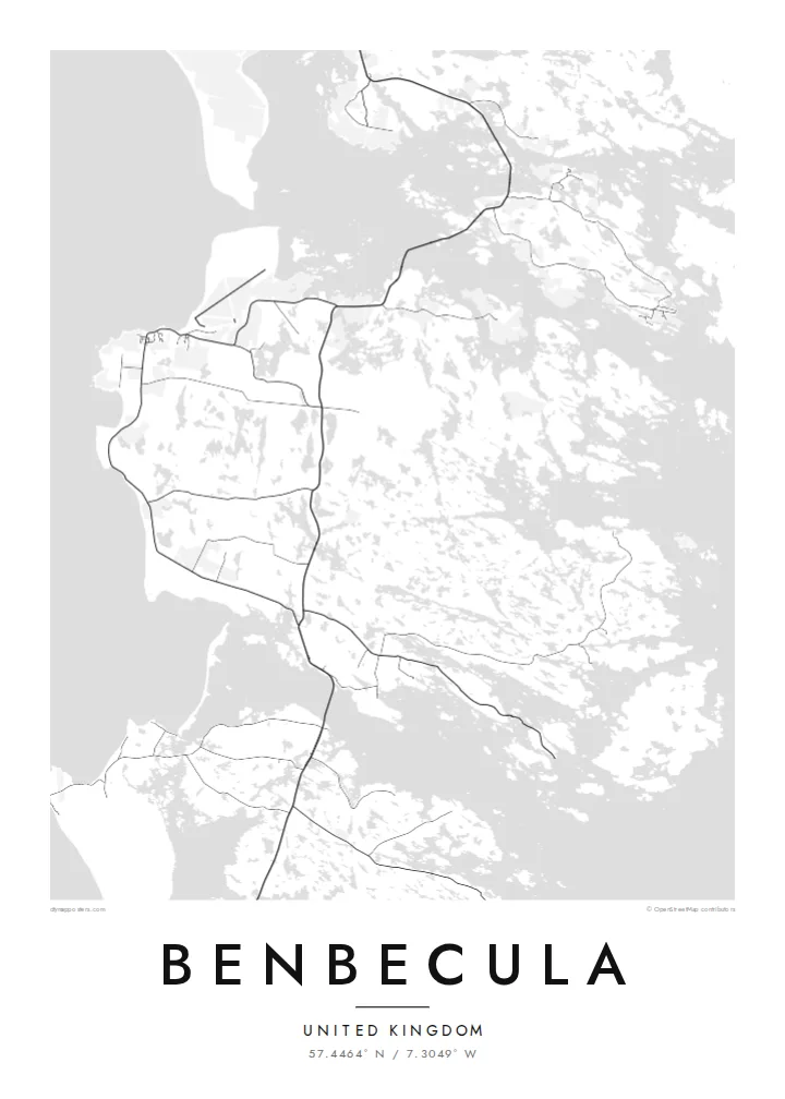
The eastern half of the island dissolves into dozens of lochs and inlets, so the map shows a dense, irregular pattern of water and narrow strips of land.
Postè kat minimalis · United Kingdom
57.4464° N / 7.3049° W
A flat, water-riddled island between North and South Uist, more loch than land in places, joined to both by causeways.


Yon vil, senk atmosfè
Peze yon style pou wè li sou mi a. Chak style koute menm pri — enprime, ankadre oswa kòm fichye HD.
 Piksèl reyèl · fichye enpresyon 24 × 36″
Byen klè pou enprime
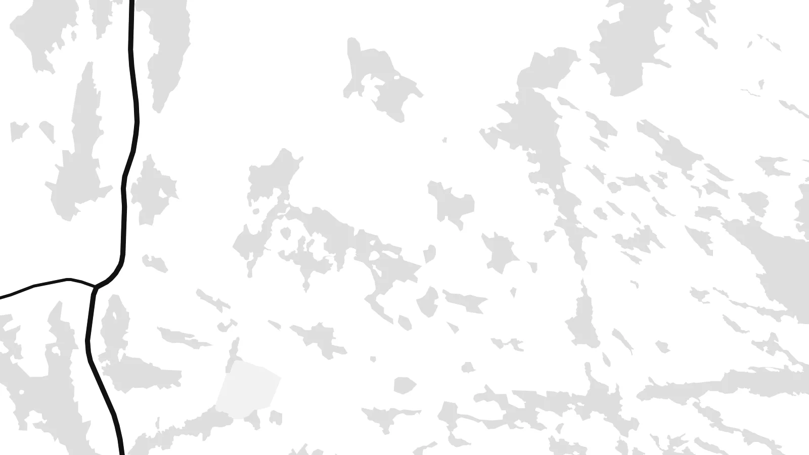
Sa a se yon zoom 100% sou vrè fichye enpresyon an. Chak afich — enprime, ankadre oswa telechaje — jenere sou sèvè nou yo nan 300 DPI, jiska 7,200 × 10,800 piksèl, konsa menm pi piti wout yo rete klè sou yon enpresyon 24 × 36″.
Sou mi a


Kat la
Benbecula lies in the Outer Hebrides between North Uist and South Uist and is linked to both by causeways. Seen from above it is remarkably low and flat, and its surface is broken by countless lochs and lochans. This is most striking on the eastern side, where land and water are so intertwined that the shoreline is hard to trace.
The west coast is more open, with machair grassland and long sandy beaches facing the Atlantic. Balivanich, in the northwest, is the main settlement and has the island's airport and a military presence linked to the rocket range on South Uist. In 1746 Charles Edward Stuart sailed from Benbecula to Skye with Flora MacDonald, an episode remembered in the Skye Boat Song.
A Benbecula map poster turns this watery landscape into something close to lace. The lochs fill the sheet with small shapes, the main road runs north to south between the causeways, and the airfield at Balivanich adds a few firm straight lines. Few small islands offer such an intricate composition.
The eastern half of the island dissolves into dozens of lochs and inlets, so the map shows a dense, irregular pattern of water and narrow strips of land.
Causeways at the northern and southern ends carry the road toward North Uist and South Uist, drawing Benbecula into a single chain with its neighbours.
In the northwest, the runways of Benbecula Airport form a crisp geometric pattern beside the village, a rare set of straight lines on this low island.
Fè l pou ou
Ajoute yon dat, yon non oswa pwòp fraz pa w, chanje estil, gwosè oswa oryantasyon.
Apèsi gratis la se nan rezolisyon ba avèk yon watèrmak. Enpresyon ak fichye HD yo jenere nan 300 DPI, jiska 7,200 × 10,800 px, san watèrmak.
Poukisa Benbecula
Benbecula is loved by people who have lived there, served there or walked its beaches in all weathers. Its map is unusual enough to catch the eye on its own, and it anchors a series of Hebridean island posters well.
Edit the title, put a date or family name in the subtitle, and keep or change the coordinates. Blueprint suits the lochs particularly well, and Classic, Noir, Paper and Sand are also available. Start with the free 900 px watermarked preview, then download the six-size HD set for $9.
Kòmande afich Benbecula a| Gwosè enpresyon | Rezolisyon | Fichye |
|---|---|---|
| 30 × 40 cm (11.8 × 15.7″) | 3,543 × 4,724 px | PNG · PDF |
| 29.7 × 42 cm (A3, 11.7 × 16.5″) | 3,508 × 4,961 px | PNG · PDF |
| 42 × 59.4 cm (A2, 16.5 × 23.4″) | 4,961 × 7,016 px | PNG · PDF |
| 45.7 × 61 cm (18 × 24″) | 5,400 × 7,200 px | PNG · PDF |
| 50 × 70 cm (19.7 × 27.6″) | 5,906 × 8,268 px | PNG · PDF |
| 61 × 91.4 cm (24 × 36″) | 7,200 × 10,800 px | PNG · PDF |
Pou konpare, apèsi gratis la gen 900 px lajè, li gen filigràn epi li fèt pou ekran. Fichye HD yo gen jiska 8 fwa plis rezolisyon nan chak direksyon epi yo enprime pwòp nan gwosè postè konplè.
Chwazi yon style anlè paj la, epi chwazi Afich Enprime — yon gwosè epi, si w vle, yon kad — oswa Fichye Dijital HD. Peman an fèt nan yon sèl etap, epi paj kòmand ou a mete ajou kou peman an konfime.
Li enprime sou papye mat premium 200 gsm nan youn nan sis gwosè, soti nan 30 × 40 cm rive nan 24 × 36″. Afich enprime yo kòmanse nan {printFrom}, livrezon enkli.
Wi. Chwazi yon kad an bwa solid nan koulè nwa, blan, chenn natirèl oswa bwa fonse. Li vin ak yon vit ki pa kase epi li pare pou pandye. Afich ankadre yo kòmanse nan {framedFrom}, livrezon enkli.
Livrezon gratis toupatou nan mond lan. Chak afich enprime nan patnè enpresyon ki pi pre nan plis pase 30 peyi, e li rive jeneralman nan 3–7 jou ouvrab. Ou ka swiv estati ak suivi anba My Orders.
Voye nou yon foto nan 14 jou apre livrezon an epi nou ap reenprime li gratis oswa remèt ou lajan w.
Wi. Nan editè a sou paj sa a, chanje tit la, soutit la ak liy kowòdone yo pou nenpòt sa w vle, epi chwazi yon style ak yon gwosè. Kòmand enprime, ankadre ak dijital yo tout itilize egzakteman desen w lan.
Pou $9 ou jwenn fichye PNG 300 DPI ak PDF pare-pou-enprime nan tout sis gwosè yo, san watèrmak, pou enprime kote w vle. Pa sèten toujou? Telechaje yon apèsi gratis ak watèrmak anvan.
