İstiklal Avenue
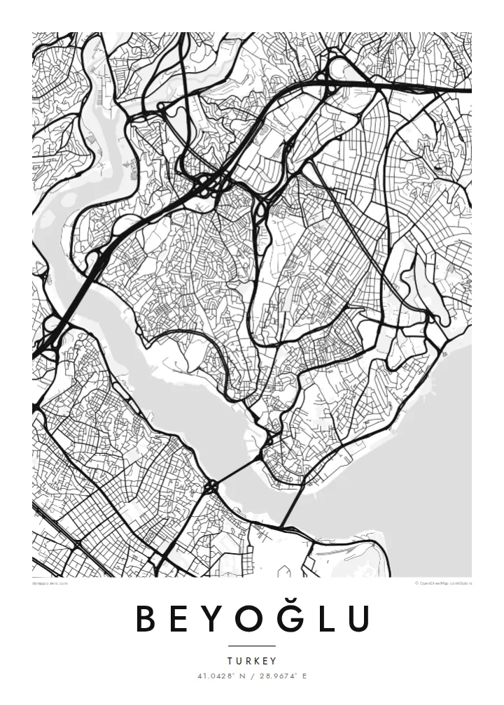
The pedestrian avenue from Taksim to Tünel follows the ridge in a long, slightly curving line. It is the clearest single stroke on the map.
Postè kat minimalis · Türkiye
41.0428° N / 28.9674° E
A hilly district above the Golden Horn and Bosphorus, with a pedestrian avenue running along the ridge from Taksim to Galata


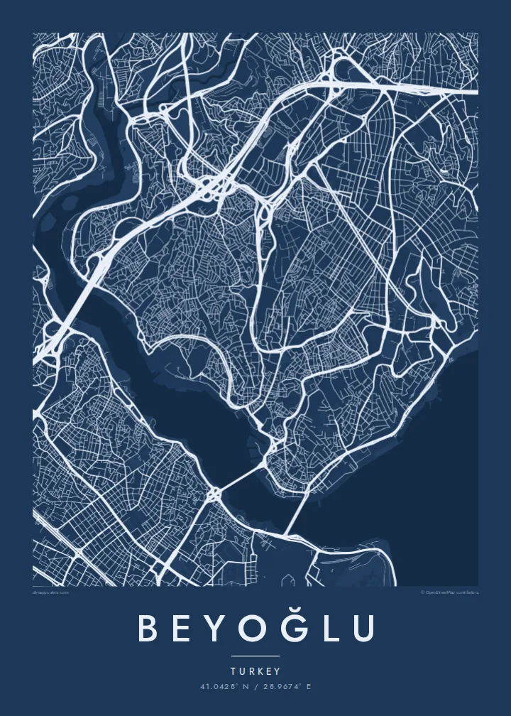

Yon vil, senk atmosfè
Peze yon style pou wè li sou mi a. Chak style koute menm pri — enprime, ankadre oswa kòm fichye HD.
 Piksèl reyèl · fichye enpresyon 24 × 36″
Byen klè pou enprime
Sa a se yon zoom 100% sou vrè fichye enpresyon an. Chak afich — enprime, ankadre oswa telechaje — jenere sou sèvè nou yo nan 300 DPI, jiska 7,200 × 10,800 piksèl, konsa menm pi piti wout yo rete klè sou yon enpresyon 24 × 36″.
Sou mi a


Kat la
Beyoğlu covers the high ground north of the Golden Horn, where the land rises steeply from the water to a long ridge. The streets follow that terrain. Short, steep lanes and stairways drop down towards Karaköy and the Bosphorus shore, while the main avenue runs along the top. On the map, the district looks like a spine with ribs.
That spine is İstiklal Avenue, a pedestrian street about a kilometre and a half long. It links Taksim Square at the northern end to Tünel near the Galata Tower. A red heritage tram runs along it. At the southern end, the Tünel funicular, opened in 1875, carries passengers down the slope to Karaköy and is one of the oldest underground railways in the world.
Once known as Pera, the district was home to embassies, merchants and a large non-Muslim population in the late Ottoman period. Many of its apartment buildings and arcades date from that time. A Beyoğlu map poster shows how steep ground, a single strong avenue and two bodies of water shaped one of Istanbul's most distinctive districts.
The pedestrian avenue from Taksim to Tünel follows the ridge in a long, slightly curving line. It is the clearest single stroke on the map.
The medieval stone tower stands on the southern slope above Karaköy. It marks the point where the district begins its descent to the Golden Horn.
Short, steep streets and flights of steps connect the ridge to the waterfront, giving the map a dense, fine-grained texture on its southern and eastern edges.
Fè l pou ou
Ajoute yon dat, yon non oswa pwòp fraz pa w, chanje estil, gwosè oswa oryantasyon.
Apèsi gratis la se nan rezolisyon ba avèk yon watèrmak. Enpresyon ak fichye HD yo jenere nan 300 DPI, jiska 7,200 × 10,800 px, san watèrmak.
Poukisa Beyoğlu
Beyoğlu is where many people lived their Istanbul years, whether as students, new arrivals or night owls. A map of its ridge and slopes holds those streets together more faithfully than any photograph.
Personalise the title and subtitle with a date, an address or a line of your own. Choose one of five styles. Noir suits the district's late evenings, while Paper gives it the look of an old city plan.
Kòmande afich Beyoğlu a| Gwosè enpresyon | Rezolisyon | Fichye |
|---|---|---|
| 30 × 40 cm (11.8 × 15.7″) | 3,543 × 4,724 px | PNG · PDF |
| 29.7 × 42 cm (A3, 11.7 × 16.5″) | 3,508 × 4,961 px | PNG · PDF |
| 42 × 59.4 cm (A2, 16.5 × 23.4″) | 4,961 × 7,016 px | PNG · PDF |
| 45.7 × 61 cm (18 × 24″) | 5,400 × 7,200 px | PNG · PDF |
| 50 × 70 cm (19.7 × 27.6″) | 5,906 × 8,268 px | PNG · PDF |
| 61 × 91.4 cm (24 × 36″) | 7,200 × 10,800 px | PNG · PDF |
Pou konpare, apèsi gratis la gen 900 px lajè, li gen filigràn epi li fèt pou ekran. Fichye HD yo gen jiska 8 fwa plis rezolisyon nan chak direksyon epi yo enprime pwòp nan gwosè postè konplè.
Chwazi yon style anlè paj la, epi chwazi Afich Enprime — yon gwosè epi, si w vle, yon kad — oswa Fichye Dijital HD. Peman an fèt nan yon sèl etap, epi paj kòmand ou a mete ajou kou peman an konfime.
Li enprime sou papye mat premium 200 gsm nan youn nan sis gwosè, soti nan 30 × 40 cm rive nan 24 × 36″. Afich enprime yo kòmanse nan {printFrom}, livrezon enkli.
Wi. Chwazi yon kad an bwa solid nan koulè nwa, blan, chenn natirèl oswa bwa fonse. Li vin ak yon vit ki pa kase epi li pare pou pandye. Afich ankadre yo kòmanse nan {framedFrom}, livrezon enkli.
Livrezon gratis toupatou nan mond lan. Chak afich enprime nan patnè enpresyon ki pi pre nan plis pase 30 peyi, e li rive jeneralman nan 3–7 jou ouvrab. Ou ka swiv estati ak suivi anba My Orders.
Voye nou yon foto nan 14 jou apre livrezon an epi nou ap reenprime li gratis oswa remèt ou lajan w.
Wi. Nan editè a sou paj sa a, chanje tit la, soutit la ak liy kowòdone yo pou nenpòt sa w vle, epi chwazi yon style ak yon gwosè. Kòmand enprime, ankadre ak dijital yo tout itilize egzakteman desen w lan.
Pou $9 ou jwenn fichye PNG 300 DPI ak PDF pare-pou-enprime nan tout sis gwosè yo, san watèrmak, pou enprime kote w vle. Pa sèten toujou? Telechaje yon apèsi gratis ak watèrmak anvan.
