Tidal channels
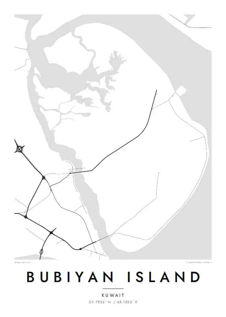
Winding creeks cut across the island's edges and into its marshes, drawing branching, river-like patterns that give the flat ground its only real texture.
Postè kat minimalis · Kuwait
29.7833° N / 48.1833° E
A flat, low-lying island of mudflats and marsh at the head of the Gulf, edged by winding tidal channels.

Yon vil, senk atmosfè
Peze yon style pou wè li sou mi a. Chak style koute menm pri — enprime, ankadre oswa kòm fichye HD.
 Piksèl reyèl · fichye enpresyon 24 × 36″
Byen klè pou enprime
Sa a se yon zoom 100% sou vrè fichye enpresyon an. Chak afich — enprime, ankadre oswa telechaje — jenere sou sèvè nou yo nan 300 DPI, jiska 7,200 × 10,800 piksèl, konsa menm pi piti wout yo rete klè sou yon enpresyon 24 × 36″.
Sou mi a


Kat la
Bubiyan is the largest island in Kuwait, lying at the northern end of the Gulf near the mouth of the Shatt al-Arab. It is almost perfectly flat, much of it salt marsh and tidal mudflat, and its edges blur into channels and shoals rather than forming a crisp coast. On a map the island reads as a broad, low shape laced with meandering creeks.
Khor Abdullah runs along its eastern side toward Iraq, while a narrow channel divides it from the Kuwaiti mainland, crossed by a bridge. The island has no towns. Large parts are protected for wildlife, and its mudflats are an important site for wading birds, including the crab plover. Recent development has centred on a large port project on its eastern coast.
A Bubiyan Island map poster is an exercise in subtle lines: branching tidal channels, faint tracks and the straight mark of the bridge crossing from the mainland. There is little in the way of streets, and that absence gives the design an almost abstract quality. It suits people with ties to Kuwait who want something quieter than a city plan.
Winding creeks cut across the island's edges and into its marshes, drawing branching, river-like patterns that give the flat ground its only real texture.
A bridge carries the road across the narrow channel from the Kuwaiti mainland, a single straight line tying the island to the coast opposite.
The waterway along the island's eastern side leads toward Iraq's ports and frames Bubiyan against the wider head of the Gulf.
Fè l pou ou
Ajoute yon dat, yon non oswa pwòp fraz pa w, chanje estil, gwosè oswa oryantasyon.
Apèsi gratis la se nan rezolisyon ba avèk yon watèrmak. Enpresyon ak fichye HD yo jenere nan 300 DPI, jiska 7,200 × 10,800 px, san watèrmak.
Poukisa Bubiyan Island
Bubiyan appeals to Kuwaitis and to people who have lived in the country, as well as to birdwatchers who know it for its wading birds. Its soft, low outline makes a restful, almost abstract piece for a study or office.
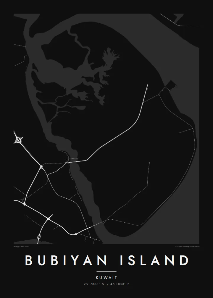
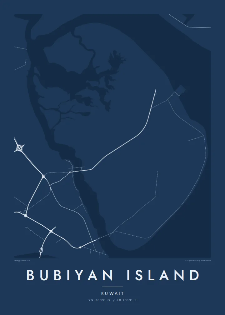
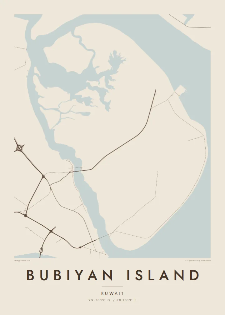
Personalise the title, subtitle and coordinates line with a family name or a meaningful date. Choose Classic black & white, Noir, Paper, Blueprint or Sand; the lighter styles bring out the fine channels, while Noir turns the island into a bold silhouette.
Kòmande afich Bubiyan Island a| Gwosè enpresyon | Rezolisyon | Fichye |
|---|---|---|
| 30 × 40 cm11.8 × 15.7″ | 3,543 × 4,724 px | PNG · PDF |
| 29.7 × 42 cm (A3)11.7 × 16.5″ | 3,508 × 4,961 px | PNG · PDF |
| 42 × 59.4 cm (A2)16.5 × 23.4″ | 4,961 × 7,016 px | PNG · PDF |
| 45.7 × 61 cm18 × 24″ | 5,400 × 7,200 px | PNG · PDF |
| 50 × 70 cm19.7 × 27.6″ | 5,906 × 8,268 px | PNG · PDF |
| 61 × 91.4 cm24 × 36″ | 7,200 × 10,800 px | PNG · PDF |
Pou konpare, apèsi gratis la gen 900 px lajè, li gen filigràn epi li fèt pou ekran. Fichye HD yo gen jiska 8 fwa plis rezolisyon nan chak direksyon epi yo enprime pwòp nan gwosè postè konplè.
Chwazi yon style anlè paj la, epi chwazi Afich Enprime — yon gwosè epi, si w vle, yon kad — oswa Fichye Dijital HD. Peman an fèt nan yon sèl etap, epi paj kòmand ou a mete ajou kou peman an konfime.
Li enprime sou papye mat premium 200 gsm nan youn nan sis gwosè, soti nan 30 × 40 cm rive nan 24 × 36″. Afich enprime yo kòmanse nan $39, livrezon enkli.
Wi. Chwazi yon kad an bwa solid nan koulè nwa, blan, chenn natirèl oswa bwa fonse. Li vin ak yon vit ki pa kase epi li pare pou pandye. Afich ankadre yo kòmanse nan $99, livrezon enkli.
Livrezon gratis nan plis pase 60 peyi. Chak afich enprime pa patnè enprimeri ki pi pre w la nan plis pase 30 peyi, e anjeneral li rive nan 3 a 7 jou ouvrab. Ou ka suiv estati a ak swivi kolis la nan Kòmand mwen yo. Kèk peyi pran 2 a 5 semèn, e kote nou poko livre, sit la di w sa anvan w peye.
Voye nou yon foto nan 14 jou apre livrezon an epi nou ap reenprime li gratis oswa remèt ou lajan w.
Wi. Nan editè a sou paj sa a, chanje tit la, soutit la ak liy kowòdone yo pou nenpòt sa w vle, epi chwazi yon style ak yon gwosè. Kòmand enprime, ankadre ak dijital yo tout itilize egzakteman desen w lan.
Pou $9 ou jwenn fichye PNG 300 DPI ak PDF pare-pou-enprime nan tout sis gwosè yo, san watèrmak, pou enprime kote w vle. Pa sèten toujou? Telechaje yon apèsi gratis ak watèrmak anvan.
