Buriganga riverfront
The river curves along the southern edge of Old Dhaka, lined with ghats and the Sadarghat launch terminal, and forms the city’s oldest and most important waterfront.
Postè kat minimalis · Bangladesh
23.7104° N / 90.4074° E
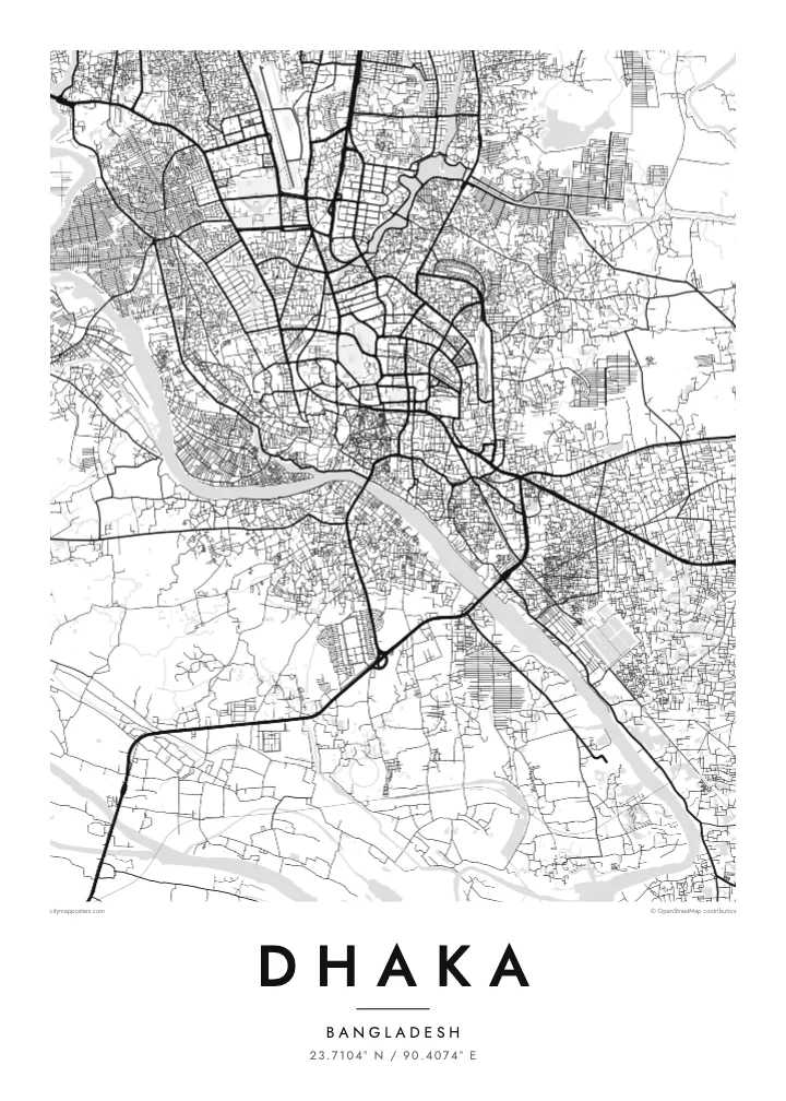
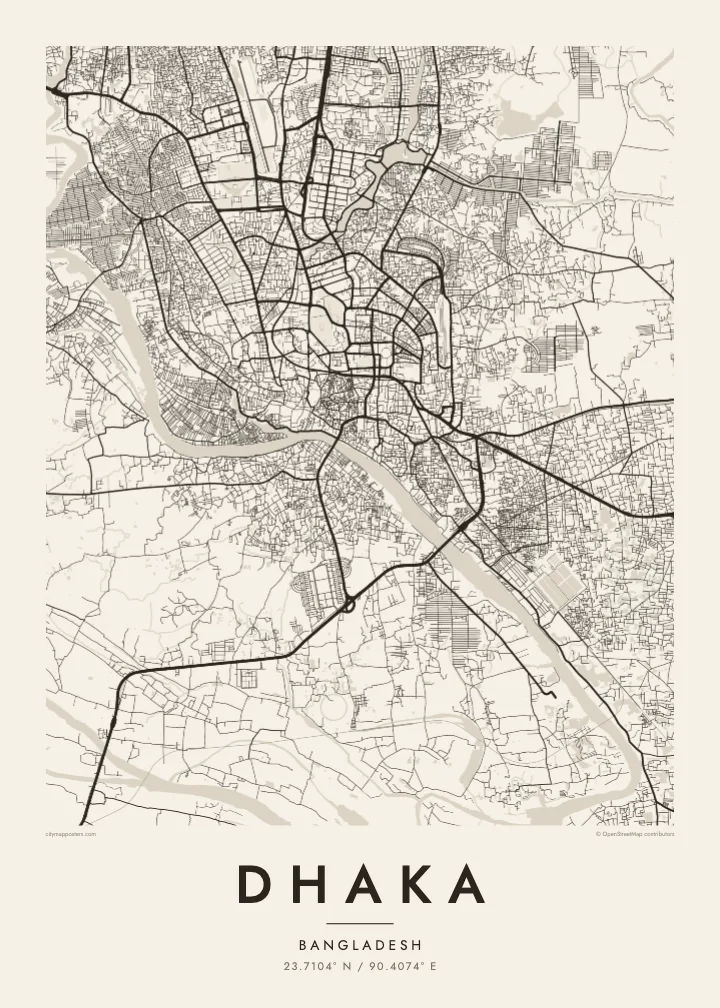
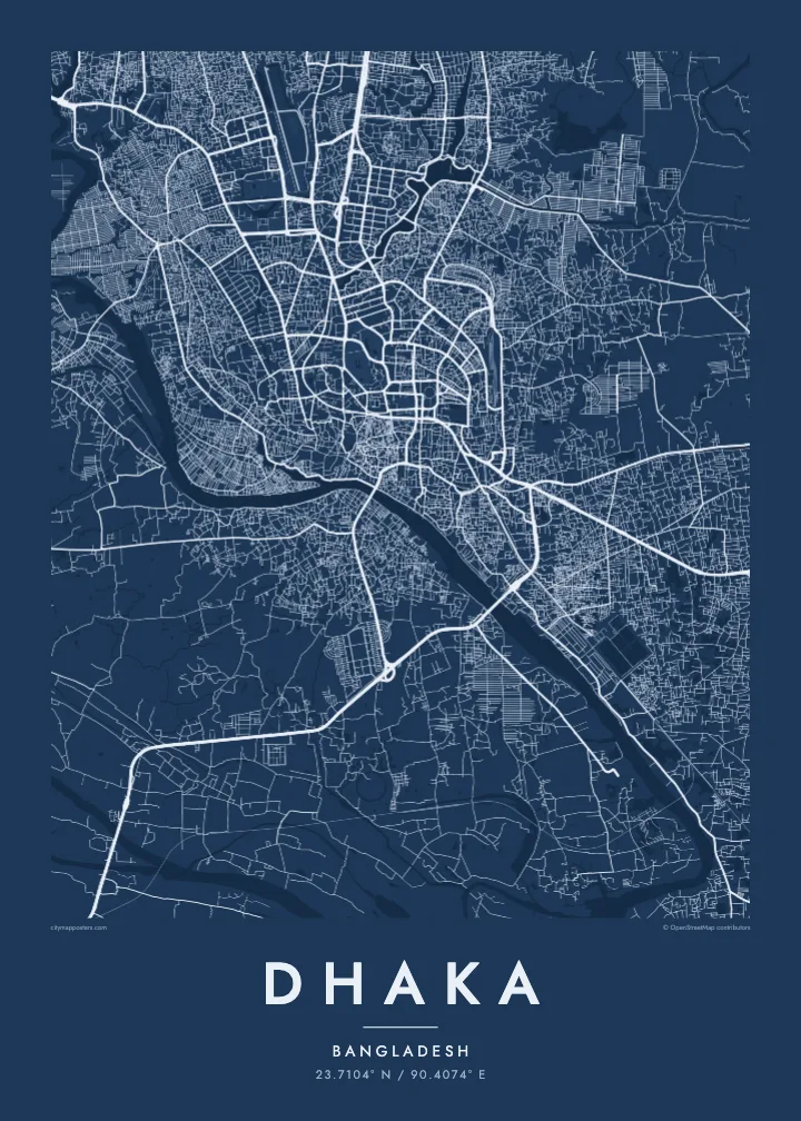
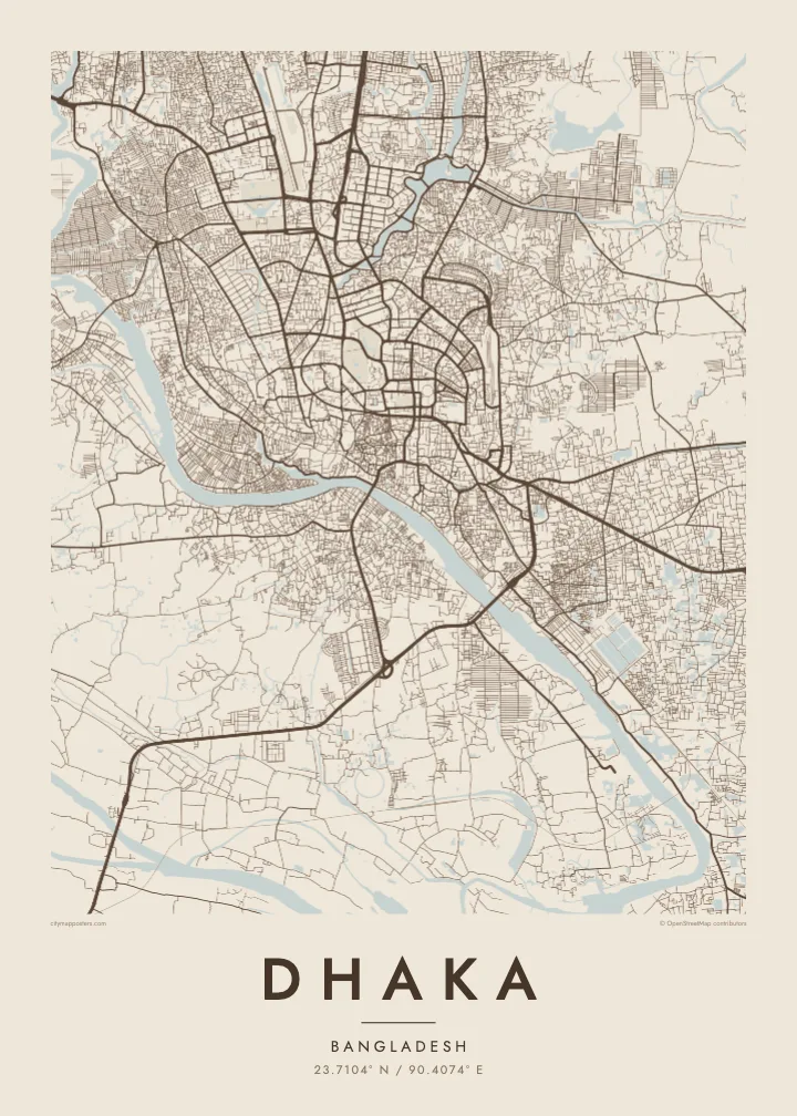
A dense river city surrounded by water, with the Buriganga to the south and lakes threading through the newer districts

Yon vil, senk atmosfè
Peze yon style pou wè li sou mi a. Chak style koute menm pri — enprime, ankadre oswa kòm fichye HD.
 Piksèl reyèl · fichye enpresyon 24 × 36″
Byen klè pou enprime
Sa a se yon zoom 100% sou vrè fichye enpresyon an. Chak afich — enprime, ankadre oswa telechaje — jenere sou sèvè nou yo nan 300 DPI, jiska 7,200 × 10,800 piksèl, konsa menm pi piti wout yo rete klè sou yon enpresyon 24 × 36″.
Sou mi a


Kat la
Dhaka sits on low land almost entirely surrounded by rivers: the Buriganga to the south and south-west, the Turag to the west and north, and the Balu to the east. On a map the city appears as a tightly built island in a delta landscape, with water and low fields pressing close on every side, and growth pushing steadily northward.
Old Dhaka, along the Buriganga, has the densest pattern of lanes, with the riverside terminal at Sadarghat and the Lalbagh Fort among its landmarks. Further north, lakes shape the planned districts: Dhanmondi Lake winds through its neighbourhood, Hatirjheel links older parts of the city with Gulshan, and Gulshan and Banani are framed by their own lakes before the map reaches the airport and Uttara.
The National Parliament House, designed by Louis Kahn, stands in Sher-e-Bangla Nagar within a moat-like lake and is one of the most admired modern buildings in South Asia. Dhaka is also among the most densely populated cities in the world. A Dhaka map poster makes sense of that density, showing how rivers and lakes give it structure.
The river curves along the southern edge of Old Dhaka, lined with ghats and the Sadarghat launch terminal, and forms the city’s oldest and most important waterfront.
Two lake systems cut through the planned districts, their long, narrow shapes winding between blocks and opening a series of clear lines through the dense middle of the city.
Louis Kahn’s complex in Sher-e-Bangla Nagar appears as a bold geometric form set within water and wide lawns, one of the clearest single shapes on the map.
Fè l pou ou
Ajoute yon dat, yon non oswa pwòp fraz pa w, chanje estil, gwosè oswa oryantasyon.
Apèsi gratis la se nan rezolisyon ba avèk yon watèrmak. Enpresyon ak fichye HD yo jenere nan 300 DPI, jiska 7,200 × 10,800 px, san watèrmak.
Poukisa Dhaka
Dhaka is a city people carry with them, whether they grew up in Old Dhaka, studied at Dhaka University or now live far away. A map of its rivers, lakes and lanes gives a calm, ordered view of a place usually experienced as crowded and fast.
Add a neighbourhood or family name in the title, use the subtitle for a date or a message, and edit the coordinates line. Choose Classic black & white, Noir, Paper, Blueprint or Sand, and order instant HD files or a printed matte poster.
Kòmande afich Dhaka a| Gwosè enpresyon | Rezolisyon | Fichye |
|---|---|---|
| 30 × 40 cm (11.8 × 15.7″) | 3,543 × 4,724 px | PNG · PDF |
| 29.7 × 42 cm (A3, 11.7 × 16.5″) | 3,508 × 4,961 px | PNG · PDF |
| 42 × 59.4 cm (A2, 16.5 × 23.4″) | 4,961 × 7,016 px | PNG · PDF |
| 45.7 × 61 cm (18 × 24″) | 5,400 × 7,200 px | PNG · PDF |
| 50 × 70 cm (19.7 × 27.6″) | 5,906 × 8,268 px | PNG · PDF |
| 61 × 91.4 cm (24 × 36″) | 7,200 × 10,800 px | PNG · PDF |
Pou konpare, apèsi gratis la gen 900 px lajè, li gen filigràn epi li fèt pou ekran. Fichye HD yo gen jiska 8 fwa plis rezolisyon nan chak direksyon epi yo enprime pwòp nan gwosè postè konplè.
Chwazi yon style anlè paj la, epi chwazi Afich Enprime — yon gwosè epi, si w vle, yon kad — oswa Fichye Dijital HD. Peman an fèt nan yon sèl etap, epi paj kòmand ou a mete ajou kou peman an konfime.
Li enprime sou papye mat premium 200 gsm nan youn nan sis gwosè, soti nan 30 × 40 cm rive nan 24 × 36″. Afich enprime yo kòmanse nan $39, livrezon enkli.
Wi. Chwazi yon kad an bwa solid nan koulè nwa, blan, chenn natirèl oswa bwa fonse. Li vin ak yon vit ki pa kase epi li pare pou pandye. Afich ankadre yo kòmanse nan $99, livrezon enkli.
Livrezon an gratis nan tout mond lan. Se pi pwòch nan patnè enprimri nou yo nan plis pase 30 peyi ki enprime chak afich la, epi li anjeneral rive nan 3–7 jou ouvrab. Ou ka swiv estati ak swivi kolis la nan Kòmand mwen yo. Gen kèk peyi ki pran 2–5 semèn, e kote nou poko livre a, sit la di w anvan ou peye.
Voye nou yon foto nan 14 jou apre livrezon an epi nou ap reenprime li gratis oswa remèt ou lajan w.
Wi. Nan editè a sou paj sa a, chanje tit la, soutit la ak liy kowòdone yo pou nenpòt sa w vle, epi chwazi yon style ak yon gwosè. Kòmand enprime, ankadre ak dijital yo tout itilize egzakteman desen w lan.
Pou $9 ou jwenn fichye PNG 300 DPI ak PDF pare-pou-enprime nan tout sis gwosè yo, san watèrmak, pou enprime kote w vle. Pa sèten toujou? Telechaje yon apèsi gratis ak watèrmak anvan.
