Trans-Iranian Railway
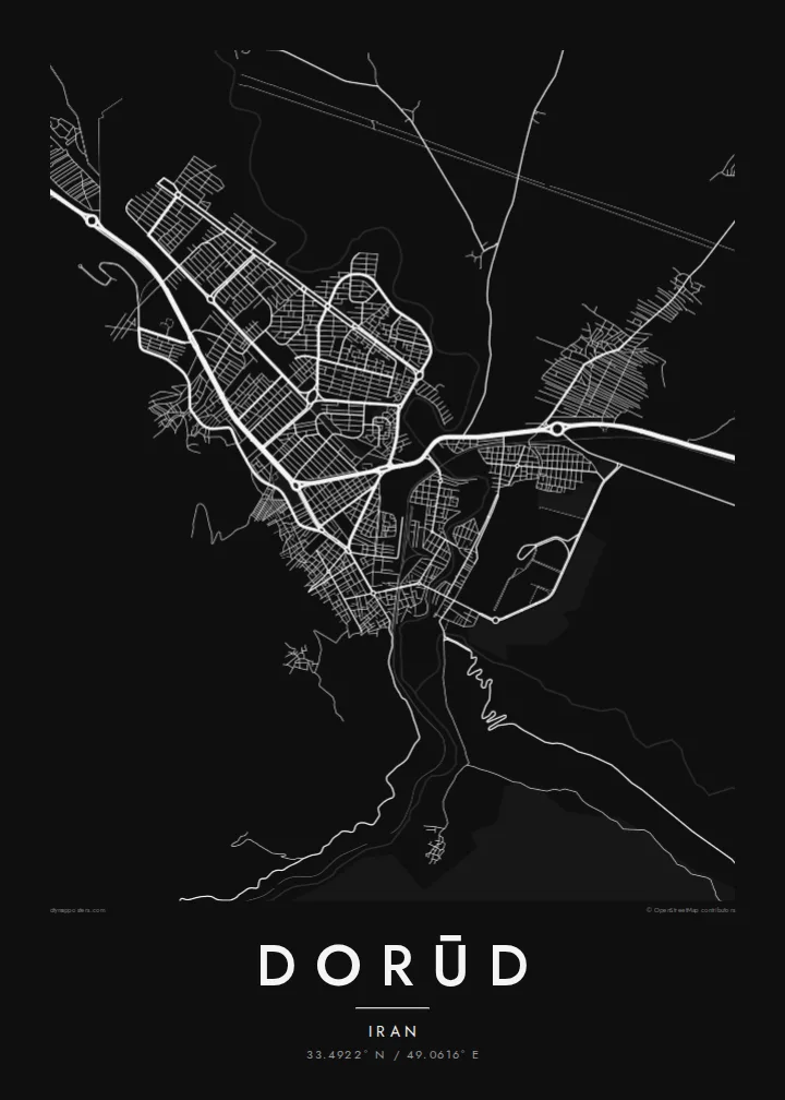
The historic railway, listed by UNESCO, passes through Dorud. Its track is a firm line on the map, entering the valley before heading into the gorges to the south.
Postè kat minimalis · Iran
33.4922° N / 49.0616° E
A Zagros mountain town in a narrow valley, where river, road and the Trans-Iranian Railway squeeze through the ranges.



Yon vil, senk atmosfè
Peze yon style pou wè li sou mi a. Chak style koute menm pri — enprime, ankadre oswa kòm fichye HD.
 Piksèl reyèl · fichye enpresyon 24 × 36″
Byen klè pou enprime
Sa a se yon zoom 100% sou vrè fichye enpresyon an. Chak afich — enprime, ankadre oswa telechaje — jenere sou sèvè nou yo nan 300 DPI, jiska 7,200 × 10,800 piksèl, konsa menm pi piti wout yo rete klè sou yon enpresyon 24 × 36″.
Sou mi a


Kat la
Dorūd lies in north-eastern Lorestan, in a valley of the Zagros Mountains, with high ridges rising steeply around it. The city stretches along the valley floor, and its streets follow the lie of the land. A long central axis runs through the middle, side streets climb the lower slopes, and building stops at the edges where the ground gets too steep. A river runs through the valley beside the town.
Dorud is an important stop on the Trans-Iranian Railway, the line that links the Caspian Sea to the Persian Gulf and threads through some of Lorestan's most dramatic gorges south of the city. The mountains around it, including the Oshtorankuh range, and the high Lake Gahar draw hikers and nature lovers to the region.
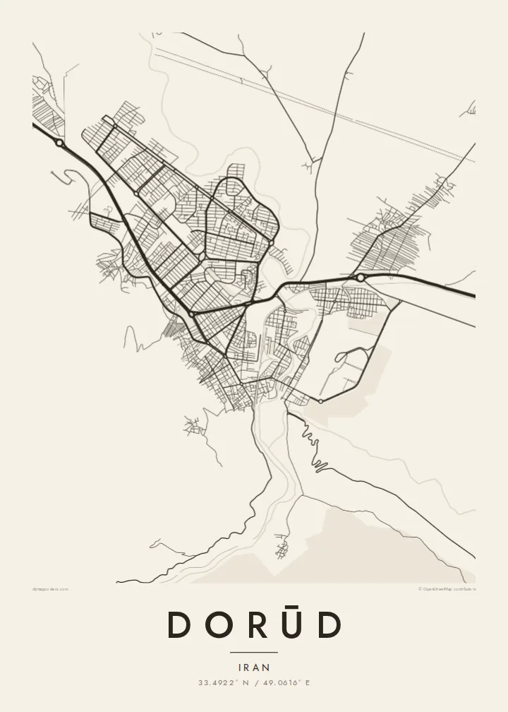
A Dorūd map poster shows how tightly geography governs the city. The rail line, the main road and the river run roughly together through the valley, the blocks fill the flat land between them, and the mountains remain as blank space around the edges. It is a strong, linear composition, well suited to a clean black-and-white print.
The historic railway, listed by UNESCO, passes through Dorud. Its track is a firm line on the map, entering the valley before heading into the gorges to the south.
The town is confined to the valley bottom, so the street pattern runs long and narrow, with the densest blocks along the central axis.
Steep Zagros ridges close in on the city. On the poster they appear as open, empty ground that sharpens the outline of the settlement.
Fè l pou ou
Ajoute yon dat, yon non oswa pwòp fraz pa w, chanje estil, gwosè oswa oryantasyon.
Apèsi gratis la se nan rezolisyon ba avèk yon watèrmak. Enpresyon ak fichye HD yo jenere nan 300 DPI, jiska 7,200 × 10,800 px, san watèrmak.
Poukisa Dorūd
People who know Dorud remember it by its setting: the mountains, the station, the road through the valley. A map poster brings these together in one image, and you can set the title, subtitle and coordinates line to mark a hometown or a journey along the railway.
Choose Classic black & white, Noir, Paper, Blueprint or Sand. The $9 digital package includes six sizes as 300 DPI PNG and print-ready PDF files without a watermark. A free 900 px preview is available first, and printed matte posters ship from partners in more than 30 countries.
Kòmande afich Dorūd a| Gwosè enpresyon | Rezolisyon | Fichye |
|---|---|---|
| 30 × 40 cm (11.8 × 15.7″) | 3,543 × 4,724 px | PNG · PDF |
| 29.7 × 42 cm (A3, 11.7 × 16.5″) | 3,508 × 4,961 px | PNG · PDF |
| 42 × 59.4 cm (A2, 16.5 × 23.4″) | 4,961 × 7,016 px | PNG · PDF |
| 45.7 × 61 cm (18 × 24″) | 5,400 × 7,200 px | PNG · PDF |
| 50 × 70 cm (19.7 × 27.6″) | 5,906 × 8,268 px | PNG · PDF |
| 61 × 91.4 cm (24 × 36″) | 7,200 × 10,800 px | PNG · PDF |
Pou konpare, apèsi gratis la gen 900 px lajè, li gen filigràn epi li fèt pou ekran. Fichye HD yo gen jiska 8 fwa plis rezolisyon nan chak direksyon epi yo enprime pwòp nan gwosè postè konplè.
Chwazi yon style anlè paj la, epi chwazi Afich Enprime — yon gwosè epi, si w vle, yon kad — oswa Fichye Dijital HD. Peman an fèt nan yon sèl etap, epi paj kòmand ou a mete ajou kou peman an konfime.
Li enprime sou papye mat premium 200 gsm nan youn nan sis gwosè, soti nan 30 × 40 cm rive nan 24 × 36″. Afich enprime yo kòmanse nan $39, livrezon enkli.
Wi. Chwazi yon kad an bwa solid nan koulè nwa, blan, chenn natirèl oswa bwa fonse. Li vin ak yon vit ki pa kase epi li pare pou pandye. Afich ankadre yo kòmanse nan $99, livrezon enkli.
Livrezon an gratis nan tout mond lan. Se pi pwòch nan patnè enprimri nou yo nan plis pase 30 peyi ki enprime chak afich la, epi li anjeneral rive nan 3–7 jou ouvrab. Ou ka swiv estati ak swivi kolis la nan Kòmand mwen yo. Gen kèk peyi ki pran 2–5 semèn, e kote nou poko livre a, sit la di w anvan ou peye.
Voye nou yon foto nan 14 jou apre livrezon an epi nou ap reenprime li gratis oswa remèt ou lajan w.
Wi. Nan editè a sou paj sa a, chanje tit la, soutit la ak liy kowòdone yo pou nenpòt sa w vle, epi chwazi yon style ak yon gwosè. Kòmand enprime, ankadre ak dijital yo tout itilize egzakteman desen w lan.
Pou $9 ou jwenn fichye PNG 300 DPI ak PDF pare-pou-enprime nan tout sis gwosè yo, san watèrmak, pou enprime kote w vle. Pa sèten toujou? Telechaje yon apèsi gratis ak watèrmak anvan.
