The Berkel river
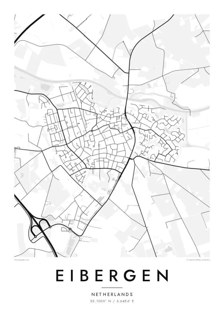
The Berkel crosses the town in a gentle winding line. It is the most recognisable feature on the map and gives the municipality of Berkelland its name.
Postè kat minimalis · Netherlands
52.1000° N / 6.6486° E
A compact Achterhoek town strung along the Berkel, its streets opening onto a patchwork of fields and wooded farmsteads.


Yon vil, senk atmosfè
Peze yon style pou wè li sou mi a. Chak style koute menm pri — enprime, ankadre oswa kòm fichye HD.
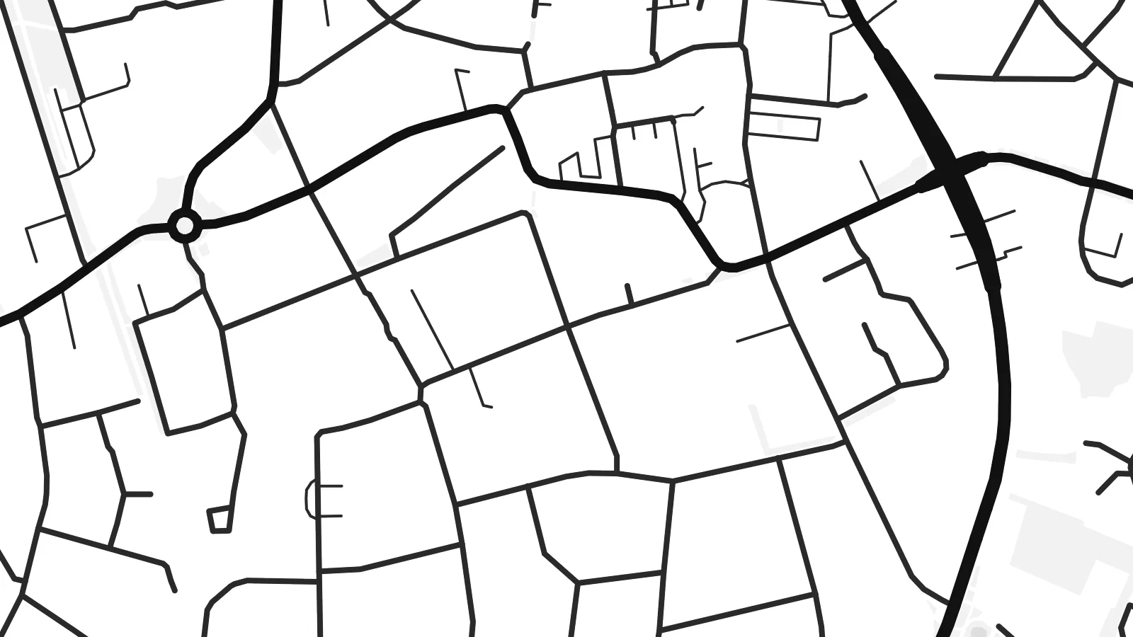 Piksèl reyèl · fichye enpresyon 24 × 36″
Byen klè pou enprime
Sa a se yon zoom 100% sou vrè fichye enpresyon an. Chak afich — enprime, ankadre oswa telechaje — jenere sou sèvè nou yo nan 300 DPI, jiska 7,200 × 10,800 piksèl, konsa menm pi piti wout yo rete klè sou yon enpresyon 24 × 36″.
Sou mi a


Kat la
Seen from above, Eibergen is a small, tightly knit town set in the eastern Netherlands, close to the German border. The river Berkel curves through the town, and the main streets gather near it before loosening into residential lanes. Past the last houses the map changes to open farmland with scattered farms, tree lines and narrow country roads, the typical landscape of the Achterhoek.
Eibergen is part of the municipality of Berkelland, which is named after the same river that shapes the town. On paper the Berkel is the thread that holds everything together, a thin winding line that enters from the east and leaves again to the west. The built-up area around it is modest, and that makes the pattern of streets easy to read at a glance.
A Eibergen map poster shows how a Dutch country town fits into its surroundings. The older centre, the newer neighbourhoods and the roads leading out towards nearby villages all show up in clean black lines on a white ground. Because the town is small, the poster can take in a good share of the countryside too, so the open fields around it become part of the picture.
The Berkel crosses the town in a gentle winding line. It is the most recognisable feature on the map and gives the municipality of Berkelland its name.
Around the town the street grid thins into country roads, field boundaries and lines of trees, the quiet, finely divided farmland typical of this corner of Gelderland.
Eibergen lies close to the German border, and the roads leaving town point east as naturally as they point towards the rest of the Netherlands.
Fè l pou ou
Ajoute yon dat, yon non oswa pwòp fraz pa w, chanje estil, gwosè oswa oryantasyon.
Apèsi gratis la se nan rezolisyon ba avèk yon watèrmak. Enpresyon ak fichye HD yo jenere nan 300 DPI, jiska 7,200 × 10,800 px, san watèrmak.
Poukisa Eibergen
For anyone who grew up in Eibergen, or who cycled along the Berkel on long summer evenings, this map is a quiet reminder of home. It suits a hallway or a study, where the detail can be looked at up close without taking over the room.
You can change the title, the subtitle and the coordinates line to mark a family name, a move or an anniversary. Choose Classic black & white, Noir, Paper, Blueprint or Sand to match your room, then download the $9 HD files or order a printed poster, framed if you like.
Kòmande afich Eibergen a| Gwosè enpresyon | Rezolisyon | Fichye |
|---|---|---|
| 30 × 40 cm (11.8 × 15.7″) | 3,543 × 4,724 px | PNG · PDF |
| 29.7 × 42 cm (A3, 11.7 × 16.5″) | 3,508 × 4,961 px | PNG · PDF |
| 42 × 59.4 cm (A2, 16.5 × 23.4″) | 4,961 × 7,016 px | PNG · PDF |
| 45.7 × 61 cm (18 × 24″) | 5,400 × 7,200 px | PNG · PDF |
| 50 × 70 cm (19.7 × 27.6″) | 5,906 × 8,268 px | PNG · PDF |
| 61 × 91.4 cm (24 × 36″) | 7,200 × 10,800 px | PNG · PDF |
Pou konpare, apèsi gratis la gen 900 px lajè, li gen filigràn epi li fèt pou ekran. Fichye HD yo gen jiska 8 fwa plis rezolisyon nan chak direksyon epi yo enprime pwòp nan gwosè postè konplè.
Chwazi yon style anlè paj la, epi chwazi Afich Enprime — yon gwosè epi, si w vle, yon kad — oswa Fichye Dijital HD. Peman an fèt nan yon sèl etap, epi paj kòmand ou a mete ajou kou peman an konfime.
Li enprime sou papye mat premium 200 gsm nan youn nan sis gwosè, soti nan 30 × 40 cm rive nan 24 × 36″. Afich enprime yo kòmanse nan {printFrom}, livrezon enkli.
Wi. Chwazi yon kad an bwa solid nan koulè nwa, blan, chenn natirèl oswa bwa fonse. Li vin ak yon vit ki pa kase epi li pare pou pandye. Afich ankadre yo kòmanse nan {framedFrom}, livrezon enkli.
Livrezon gratis toupatou nan mond lan. Chak afich enprime nan patnè enpresyon ki pi pre nan plis pase 30 peyi, e li rive jeneralman nan 3–7 jou ouvrab. Ou ka swiv estati ak suivi anba My Orders.
Voye nou yon foto nan 14 jou apre livrezon an epi nou ap reenprime li gratis oswa remèt ou lajan w.
Wi. Nan editè a sou paj sa a, chanje tit la, soutit la ak liy kowòdone yo pou nenpòt sa w vle, epi chwazi yon style ak yon gwosè. Kòmand enprime, ankadre ak dijital yo tout itilize egzakteman desen w lan.
Pou $9 ou jwenn fichye PNG 300 DPI ak PDF pare-pou-enprime nan tout sis gwosè yo, san watèrmak, pou enprime kote w vle. Pa sèten toujou? Telechaje yon apèsi gratis ak watèrmak anvan.
