Highway crossroads
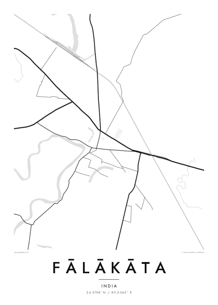
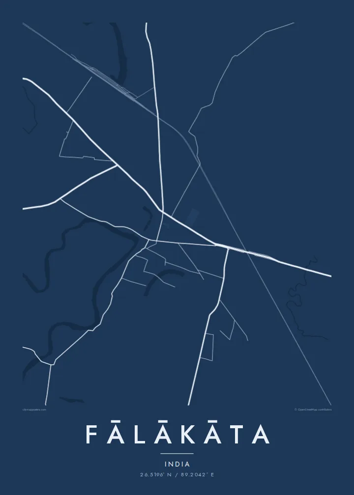
The main road through town carries long-distance traffic across north Bengal. On the map it is a bold horizontal stroke, and the market district gathers around it.
Postè kat minimalis · India
26.5196° N / 89.2042° E
A market town on the flat Dooars plain, where a highway crossroads meets tea-garden blocks and braided rivers.



Yon vil, senk atmosfè
Peze yon style pou wè li sou mi a. Chak style koute menm pri — enprime, ankadre oswa kòm fichye HD.
 Piksèl reyèl · fichye enpresyon 24 × 36″
Byen klè pou enprime
Sa a se yon zoom 100% sou vrè fichye enpresyon an. Chak afich — enprime, ankadre oswa telechaje — jenere sou sèvè nou yo nan 300 DPI, jiska 7,200 × 10,800 piksèl, konsa menm pi piti wout yo rete klè sou yon enpresyon 24 × 36″.
Sou mi a


Kat la
Fālākāta is a town in the Alipurduar district of northern West Bengal, in the Dooars. This belt of low plain runs along the foot of the Himalayan foothills, below Bhutan. The land is almost perfectly flat, so on a map the town reads as roads and rivers rather than contours.
The centre grew around a crossroads on the national highway that links northeast India with the rest of the country. Market streets branch off it, and residential lanes thin out quickly into paddy fields and plantation land. Rivers coming down from the hills cross the region in wide channels that divide and rejoin across gravel beds.
A Fālākāta map poster shows that setting. There is a compact town grid, long straight transport lines running east and west, and wide open land around it. Tea estates and forest reserves lie close by, and Jaldapara National Park is within reach to the north. The lines on the map point toward the hills in every direction.
The main road through town carries long-distance traffic across north Bengal. On the map it is a bold horizontal stroke, and the market district gathers around it.
Rivers descending from the foothills spread into several channels across the plain. They give the map loose, branching shapes that differ from the straight roads.
Beyond the town, tea gardens and fields form broad blocks with few streets. This leaves generous white space around the dense centre.
Fè l pou ou
Ajoute yon dat, yon non oswa pwòp fraz pa w, chanje estil, gwosè oswa oryantasyon.
Apèsi gratis la se nan rezolisyon ba avèk yon watèrmak. Enpresyon ak fichye HD yo jenere nan 300 DPI, jiska 7,200 × 10,800 px, san watèrmak.
Poukisa Fālākāta
Fālākāta is a meeting point for families across the Dooars, and many who move to Kolkata, Siliguri or abroad keep a close tie to it. A clean map of the town is an understated way to keep that connection on the wall.
The title, subtitle and coordinates line can be personalised. You might add a family name, a wedding date or a line in your own words. Five styles are available, from Classic black & white to Blueprint and Noir.
Kòmande afich Fālākāta a| Gwosè enpresyon | Rezolisyon | Fichye |
|---|---|---|
| 30 × 40 cm11.8 × 15.7″ | 3,543 × 4,724 px | PNG · PDF |
| 29.7 × 42 cm (A3)11.7 × 16.5″ | 3,508 × 4,961 px | PNG · PDF |
| 42 × 59.4 cm (A2)16.5 × 23.4″ | 4,961 × 7,016 px | PNG · PDF |
| 45.7 × 61 cm18 × 24″ | 5,400 × 7,200 px | PNG · PDF |
| 50 × 70 cm19.7 × 27.6″ | 5,906 × 8,268 px | PNG · PDF |
| 61 × 91.4 cm24 × 36″ | 7,200 × 10,800 px | PNG · PDF |
Pou konpare, apèsi gratis la gen 900 px lajè, li gen filigràn epi li fèt pou ekran. Fichye HD yo gen jiska 8 fwa plis rezolisyon nan chak direksyon epi yo enprime pwòp nan gwosè postè konplè.
Chwazi yon style anlè paj la, epi chwazi Afich Enprime — yon gwosè epi, si w vle, yon kad — oswa Fichye Dijital HD. Peman an fèt nan yon sèl etap, epi paj kòmand ou a mete ajou kou peman an konfime.
Li enprime sou papye mat premium 200 gsm nan youn nan sis gwosè, soti nan 30 × 40 cm rive nan 24 × 36″. Afich enprime yo kòmanse nan $39, livrezon enkli.
Wi. Chwazi yon kad an bwa solid nan koulè nwa, blan, chenn natirèl oswa bwa fonse. Li vin ak yon vit ki pa kase epi li pare pou pandye. Afich ankadre yo kòmanse nan $99, livrezon enkli.
Livrezon gratis nan plis pase 60 peyi. Chak afich enprime pa patnè enprimeri ki pi pre w la nan plis pase 30 peyi, e anjeneral li rive nan 3 a 7 jou ouvrab. Ou ka suiv estati a ak swivi kolis la nan Kòmand mwen yo. Kèk peyi pran 2 a 5 semèn, e kote nou poko livre, sit la di w sa anvan w peye.
Voye nou yon foto nan 14 jou apre livrezon an epi nou ap reenprime li gratis oswa remèt ou lajan w.
Wi. Nan editè a sou paj sa a, chanje tit la, soutit la ak liy kowòdone yo pou nenpòt sa w vle, epi chwazi yon style ak yon gwosè. Kòmand enprime, ankadre ak dijital yo tout itilize egzakteman desen w lan.
Pou $9 ou jwenn fichye PNG 300 DPI ak PDF pare-pou-enprime nan tout sis gwosè yo, san watèrmak, pou enprime kote w vle. Pa sèten toujou? Telechaje yon apèsi gratis ak watèrmak anvan.
