Shared urban area
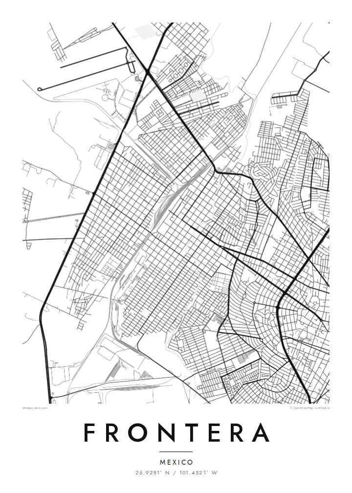
Frontera and Monclova have grown together into one continuous built-up area. On the map, the grid runs from one to the other without a visible break, so the two read as one city.
Postè kat minimalis · Mexico
26.9281° N / 101.4521° W
A desert-plain city grown into its neighbour Monclova, with river channels, rail lines and industrial blocks framed by bare sierras.


Yon vil, senk atmosfè
Peze yon style pou wè li sou mi a. Chak style koute menm pri — enprime, ankadre oswa kòm fichye HD.
 Piksèl reyèl · fichye enpresyon 24 × 36″
Byen klè pou enprime
Sa a se yon zoom 100% sou vrè fichye enpresyon an. Chak afich — enprime, ankadre oswa telechaje — jenere sou sèvè nou yo nan 300 DPI, jiska 7,200 × 10,800 piksèl, konsa menm pi piti wout yo rete klè sou yon enpresyon 24 × 36″.
Sou mi a


Kat la
Frontera sits on a broad, dry plain in central Coahuila, and from above it is hard to tell where it ends and Monclova begins. The two grew into one urban area, so the street grid runs straight across the municipal line. Long, straight avenues cut across smaller residential blocks. Pale mountain ridges rise on the horizon on almost every side.
Much of the map is shaped by work. Rail spurs, large industrial lots and wide roads for heavy traffic tie Frontera to the steel industry that defined the Monclova region in the twentieth century. Between them sit tight neighbourhoods of small parcels. On paper they look like fine texture set against the big, simple shapes of the plants and yards.
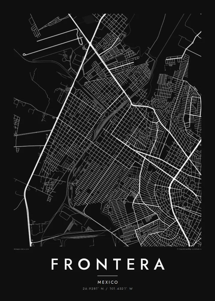
A Frontera map poster keeps this contrast clean: dense housing, large industrial footprints and the thin lines of the local watercourses, drawn in one weight of ink. Because the river channels are dry for much of the year, the city's shape comes mainly from roads and rails. That gives the poster a structured, almost diagrammatic look.
Frontera and Monclova have grown together into one continuous built-up area. On the map, the grid runs from one to the other without a visible break, so the two read as one city.
Large rectangular lots and rail spurs show the region's steel-making past. They form wide, calm shapes that sit apart from the fine grain of the residential streets around them.
Around the city, the lines thin out quickly into open ground. That emptiness is typical of Coahuila's dry plains, and it gives the street network a clear, sharp edge.
Fè l pou ou
Ajoute yon dat, yon non oswa pwòp fraz pa w, chanje estil, gwosè oswa oryantasyon.
Apèsi gratis la se nan rezolisyon ba avèk yon watèrmak. Enpresyon ak fichye HD yo jenere nan 300 DPI, jiska 7,200 × 10,800 px, san watèrmak.
Poukisa Frontera
For people from Frontera, this map shows home at the scale people actually live it: the avenue to work, the neighbourhood block, the edge where the city gives way to open land. It also suits anyone whose family history runs through northern Mexico's industrial towns.
You can set your own title, subtitle and coordinates line, for example a family name or a year you moved. Then pick Classic black & white, Noir, Paper, Blueprint or Sand. Blueprint suits the city's industrial geometry especially well.
Kòmande afich Frontera a| Gwosè enpresyon | Rezolisyon | Fichye |
|---|---|---|
| 30 × 40 cm (11.8 × 15.7″) | 3,543 × 4,724 px | PNG · PDF |
| 29.7 × 42 cm (A3, 11.7 × 16.5″) | 3,508 × 4,961 px | PNG · PDF |
| 42 × 59.4 cm (A2, 16.5 × 23.4″) | 4,961 × 7,016 px | PNG · PDF |
| 45.7 × 61 cm (18 × 24″) | 5,400 × 7,200 px | PNG · PDF |
| 50 × 70 cm (19.7 × 27.6″) | 5,906 × 8,268 px | PNG · PDF |
| 61 × 91.4 cm (24 × 36″) | 7,200 × 10,800 px | PNG · PDF |
Pou konpare, apèsi gratis la gen 900 px lajè, li gen filigràn epi li fèt pou ekran. Fichye HD yo gen jiska 8 fwa plis rezolisyon nan chak direksyon epi yo enprime pwòp nan gwosè postè konplè.
Chwazi yon style anlè paj la, epi chwazi Afich Enprime — yon gwosè epi, si w vle, yon kad — oswa Fichye Dijital HD. Peman an fèt nan yon sèl etap, epi paj kòmand ou a mete ajou kou peman an konfime.
Li enprime sou papye mat premium 200 gsm nan youn nan sis gwosè, soti nan 30 × 40 cm rive nan 24 × 36″. Afich enprime yo kòmanse nan {printFrom}, livrezon enkli.
Wi. Chwazi yon kad an bwa solid nan koulè nwa, blan, chenn natirèl oswa bwa fonse. Li vin ak yon vit ki pa kase epi li pare pou pandye. Afich ankadre yo kòmanse nan {framedFrom}, livrezon enkli.
Livrezon gratis toupatou nan mond lan. Chak afich enprime nan patnè enpresyon ki pi pre nan plis pase 30 peyi, e li rive jeneralman nan 3–7 jou ouvrab. Ou ka swiv estati ak suivi anba My Orders.
Voye nou yon foto nan 14 jou apre livrezon an epi nou ap reenprime li gratis oswa remèt ou lajan w.
Wi. Nan editè a sou paj sa a, chanje tit la, soutit la ak liy kowòdone yo pou nenpòt sa w vle, epi chwazi yon style ak yon gwosè. Kòmand enprime, ankadre ak dijital yo tout itilize egzakteman desen w lan.
Pou $9 ou jwenn fichye PNG 300 DPI ak PDF pare-pou-enprime nan tout sis gwosè yo, san watèrmak, pou enprime kote w vle. Pa sèten toujou? Telechaje yon apèsi gratis ak watèrmak anvan.
Toupre
