Chain of beaches
A sequence of wide sandy bays runs along the ocean shore, each separated by a rocky headland, giving the coastline a scalloped outline.
Postè kat minimalis · Brazil
23.9931° S / 46.2564° W
An island city of curving Atlantic beaches and rocky headlands, separated from the port of Santos by a narrow channel


Yon vil, senk atmosfè
Peze yon style pou wè li sou mi a. Chak style koute menm pri — enprime, ankadre oswa kòm fichye HD.
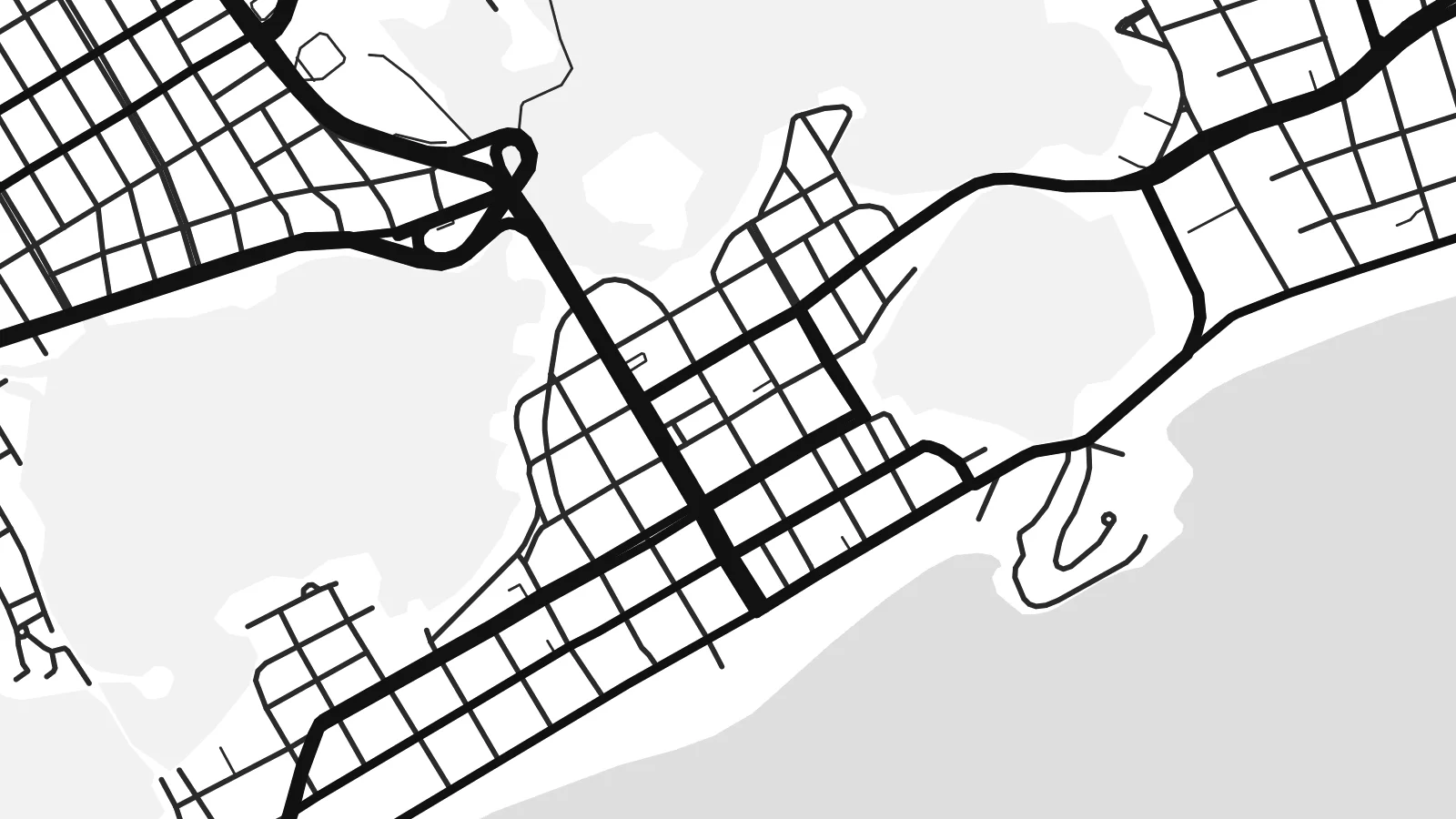 Piksèl reyèl · fichye enpresyon 24 × 36″
Byen klè pou enprime
Sa a se yon zoom 100% sou vrè fichye enpresyon an. Chak afich — enprime, ankadre oswa telechaje — jenere sou sèvè nou yo nan 300 DPI, jiska 7,200 × 10,800 piksèl, konsa menm pi piti wout yo rete klè sou yon enpresyon 24 × 36″.
Sou mi a


Kat la
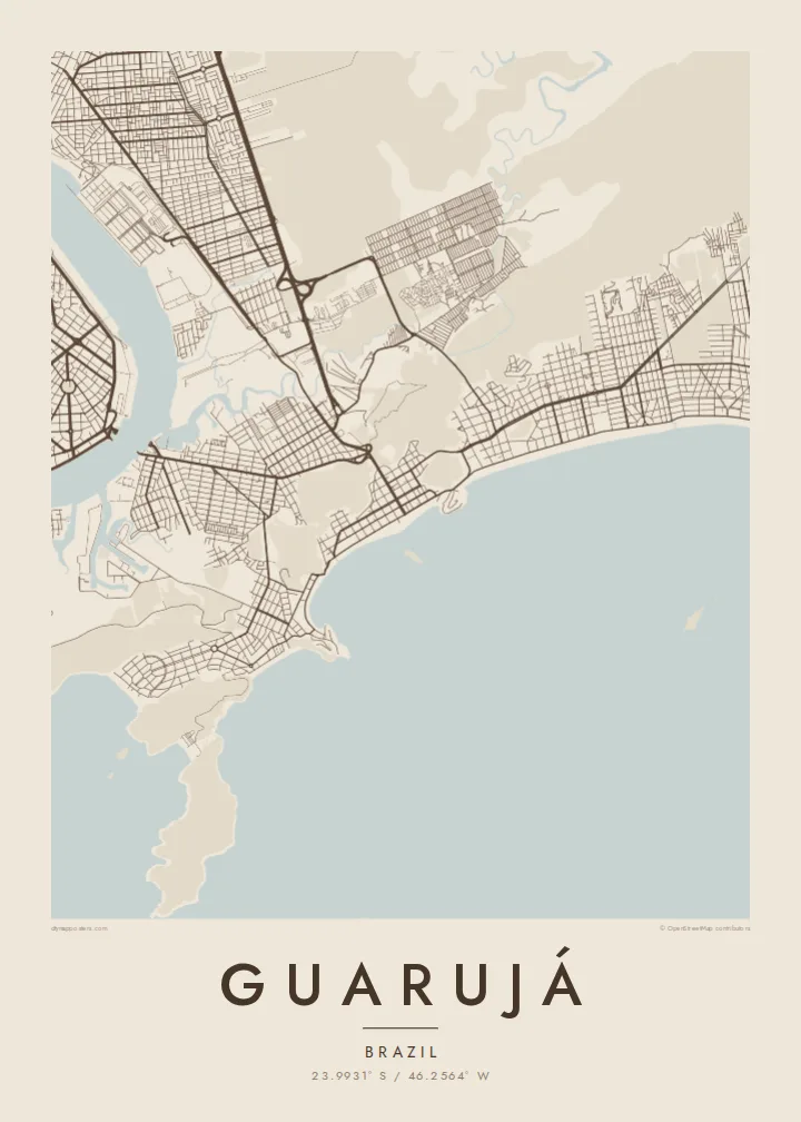
Guarujá occupies Santo Amaro island on the coast of São Paulo state, across a narrow channel from the port city of Santos. From above the island is a mosaic of forested hills, rocky points and sandy bays, with the town concentrated on the flatter ground behind the beaches and along the channel side facing Santos.
The coastline is what defines the map. Beaches such as Pitangueiras, Enseada and Pernambuco curve between headlands, each forming a clean arc against the Atlantic, and apartment blocks line the seafront in dense strips. The nickname Pearl of the Atlantic reflects the town's long history as a weekend and summer retreat for people from São Paulo.
On the western side of the island, a ferry crossing links Guarujá with Santos, while mangroves and quiet channels mark the northern shore. A Guarujá map poster brings together those contrasting edges: the harbour channel, the wetlands and the chain of ocean beaches, all wrapped around the steep, forested hills at the island's centre.
A sequence of wide sandy bays runs along the ocean shore, each separated by a rocky headland, giving the coastline a scalloped outline.
The narrow waterway on the western side separates Guarujá from Santos, lined with port terminals and crossed by ferries rather than bridges.
Forested high ground rises between the beaches and the channel, leaving much of the island's interior free of streets and framing the town around it.
Fè l pou ou
Ajoute yon dat, yon non oswa pwòp fraz pa w, chanje estil, gwosè oswa oryantasyon.
Apèsi gratis la se nan rezolisyon ba avèk yon watèrmak. Enpresyon ak fichye HD yo jenere nan 300 DPI, jiska 7,200 × 10,800 px, san watèrmak.
Poukisa Guarujá
For many families in São Paulo, Guarujá is the beach of childhood holidays and long weekends. A map of the island captures that coastline in a way a photograph cannot, with every bay and headland visible at once.
Personalise the title with a beach name or a family surname, add a subtitle and a date, and adjust the coordinates line. Choose Sand or Paper for a coastal feel, and download the $9 HD files or order a printed matte poster.
Kòmande afich Guarujá a| Gwosè enpresyon | Rezolisyon | Fichye |
|---|---|---|
| 30 × 40 cm11.8 × 15.7″ | 3,543 × 4,724 px | PNG · PDF |
| 29.7 × 42 cm (A3)11.7 × 16.5″ | 3,508 × 4,961 px | PNG · PDF |
| 42 × 59.4 cm (A2)16.5 × 23.4″ | 4,961 × 7,016 px | PNG · PDF |
| 45.7 × 61 cm18 × 24″ | 5,400 × 7,200 px | PNG · PDF |
| 50 × 70 cm19.7 × 27.6″ | 5,906 × 8,268 px | PNG · PDF |
| 61 × 91.4 cm24 × 36″ | 7,200 × 10,800 px | PNG · PDF |
Pou konpare, apèsi gratis la gen 900 px lajè, li gen filigràn epi li fèt pou ekran. Fichye HD yo gen jiska 8 fwa plis rezolisyon nan chak direksyon epi yo enprime pwòp nan gwosè postè konplè.
Chwazi yon style anlè paj la, epi chwazi Afich Enprime — yon gwosè epi, si w vle, yon kad — oswa Fichye Dijital HD. Peman an fèt nan yon sèl etap, epi paj kòmand ou a mete ajou kou peman an konfime.
Li enprime sou papye mat premium 200 gsm nan youn nan sis gwosè, soti nan 30 × 40 cm rive nan 24 × 36″. Afich enprime yo kòmanse nan $39, livrezon enkli.
Wi. Chwazi yon kad an bwa solid nan koulè nwa, blan, chenn natirèl oswa bwa fonse. Li vin ak yon vit ki pa kase epi li pare pou pandye. Afich ankadre yo kòmanse nan $99, livrezon enkli.
Livrezon gratis nan plis pase 60 peyi. Chak afich enprime pa patnè enprimeri ki pi pre w la nan plis pase 30 peyi, e anjeneral li rive nan 3 a 7 jou ouvrab. Ou ka suiv estati a ak swivi kolis la nan Kòmand mwen yo. Kèk peyi pran 2 a 5 semèn, e kote nou poko livre, sit la di w sa anvan w peye.
Voye nou yon foto nan 14 jou apre livrezon an epi nou ap reenprime li gratis oswa remèt ou lajan w.
Wi. Nan editè a sou paj sa a, chanje tit la, soutit la ak liy kowòdone yo pou nenpòt sa w vle, epi chwazi yon style ak yon gwosè. Kòmand enprime, ankadre ak dijital yo tout itilize egzakteman desen w lan.
Pou $9 ou jwenn fichye PNG 300 DPI ak PDF pare-pou-enprime nan tout sis gwosè yo, san watèrmak, pou enprime kote w vle. Pa sèten toujou? Telechaje yon apèsi gratis ak watèrmak anvan.
