Oval old town
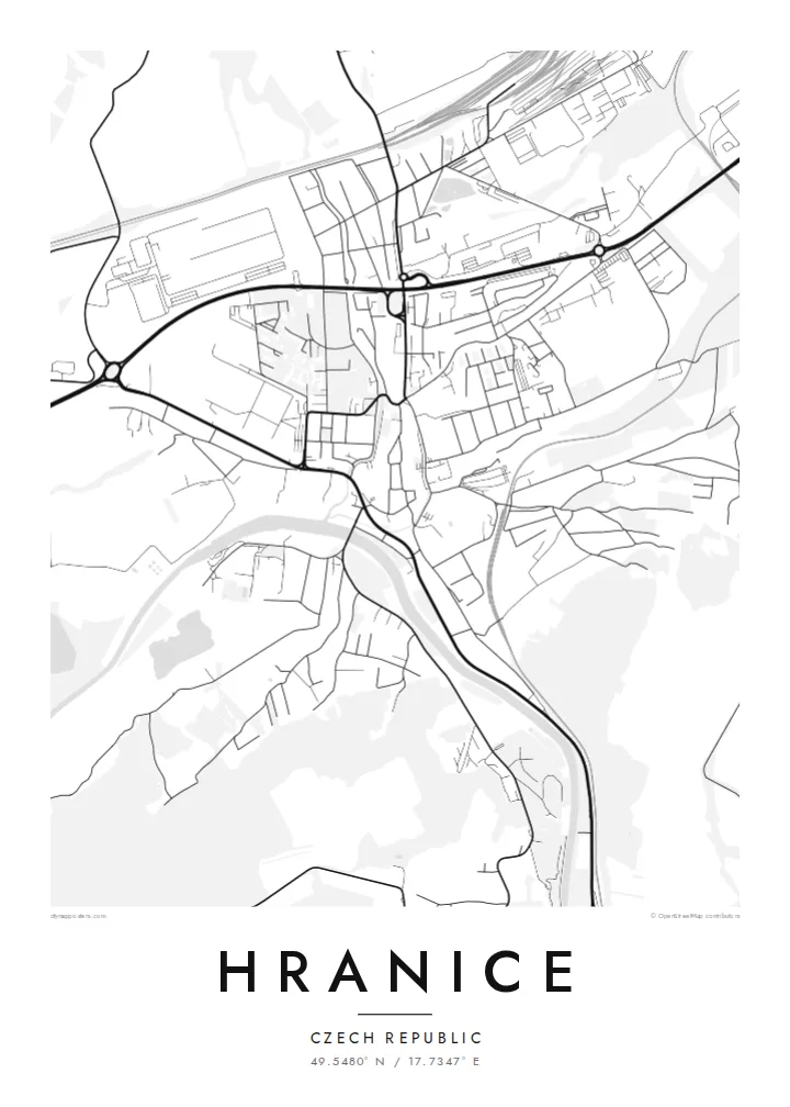
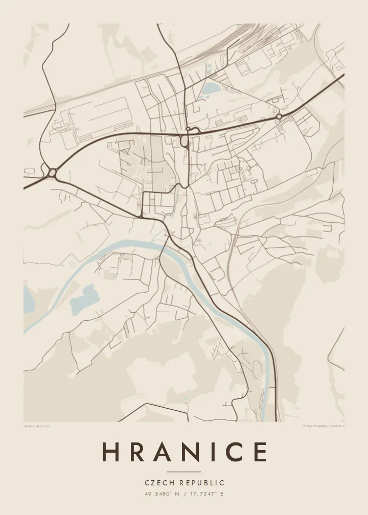
The historic centre forms a compact oval around a main square. Its outline follows the course of the former town walls.
Postè kat minimalis · Czechia
49.5480° N / 17.7347° E
A Moravian town on the Bečva river, with a walled old core and the Moravian Gate valley around it


Yon vil, senk atmosfè
Peze yon style pou wè li sou mi a. Chak style koute menm pri — enprime, ankadre oswa kòm fichye HD.
 Piksèl reyèl · fichye enpresyon 24 × 36″
Byen klè pou enprime
Sa a se yon zoom 100% sou vrè fichye enpresyon an. Chak afich — enprime, ankadre oswa telechaje — jenere sou sèvè nou yo nan 300 DPI, jiska 7,200 × 10,800 piksèl, konsa menm pi piti wout yo rete klè sou yon enpresyon 24 × 36″.
Sou mi a


Kat la
Hranice lies in eastern Moravia, in the Moravian Gate, a lowland corridor between the Carpathians and the Sudetes that has served as a route for trade and travel for centuries. The Bečva river runs past the town. The old centre sits on higher ground above it, compact and roughly oval, with a main square and streets that still follow the line of its old walls.
Just outside town is the Hranice Abyss, a limestone chasm with a flooded cave measured as the deepest of its kind in the world. On the map, it appears only as a patch of woodland near the river, a small area that hides remarkable depths below. Railway lines and main roads follow the valley past the town.
A Hranice map poster shows a town shaped by its position. There is the tight historic core, the river curving below, and the transport lines running through the gap between the mountains. The black-and-white rendering makes the oval of the old town especially clear, set against the more scattered pattern of the newer districts.
The historic centre forms a compact oval around a main square. Its outline follows the course of the former town walls.
The river curves below the old town, with bridges crossing to the other bank. It gives the map a clear flowing line.
Railways and roads run through the valley past Hranice, marking the historic route between the mountain ranges.
Fè l pou ou
Ajoute yon dat, yon non oswa pwòp fraz pa w, chanje estil, gwosè oswa oryantasyon.
Apèsi gratis la se nan rezolisyon ba avèk yon watèrmak. Enpresyon ak fichye HD yo jenere nan 300 DPI, jiska 7,200 × 10,800 px, san watèrmak.
Poukisa Hranice
Hranice appeals to people who grew up in Moravia, studied here, or came to see the Abyss and stayed with the town in their memory. The clear oval of the old centre gives the print a strong focal point, and it looks good even in the smallest size.
Change the title, subtitle and coordinates line to your own text. Choose Classic black & white, Noir, Paper, Blueprint or Sand. There is a free 900 px watermarked preview to check the result, and the full HD files cost $9.
Kòmande afich Hranice a| Gwosè enpresyon | Rezolisyon | Fichye |
|---|---|---|
| 30 × 40 cm (11.8 × 15.7″) | 3,543 × 4,724 px | PNG · PDF |
| 29.7 × 42 cm (A3, 11.7 × 16.5″) | 3,508 × 4,961 px | PNG · PDF |
| 42 × 59.4 cm (A2, 16.5 × 23.4″) | 4,961 × 7,016 px | PNG · PDF |
| 45.7 × 61 cm (18 × 24″) | 5,400 × 7,200 px | PNG · PDF |
| 50 × 70 cm (19.7 × 27.6″) | 5,906 × 8,268 px | PNG · PDF |
| 61 × 91.4 cm (24 × 36″) | 7,200 × 10,800 px | PNG · PDF |
Pou konpare, apèsi gratis la gen 900 px lajè, li gen filigràn epi li fèt pou ekran. Fichye HD yo gen jiska 8 fwa plis rezolisyon nan chak direksyon epi yo enprime pwòp nan gwosè postè konplè.
Chwazi yon style anlè paj la, epi chwazi Afich Enprime — yon gwosè epi, si w vle, yon kad — oswa Fichye Dijital HD. Peman an fèt nan yon sèl etap, epi paj kòmand ou a mete ajou kou peman an konfime.
Li enprime sou papye mat premium 200 gsm nan youn nan sis gwosè, soti nan 30 × 40 cm rive nan 24 × 36″. Afich enprime yo kòmanse nan $39, livrezon enkli.
Wi. Chwazi yon kad an bwa solid nan koulè nwa, blan, chenn natirèl oswa bwa fonse. Li vin ak yon vit ki pa kase epi li pare pou pandye. Afich ankadre yo kòmanse nan $99, livrezon enkli.
Livrezon an gratis nan tout mond lan. Se pi pwòch nan patnè enprimri nou yo nan plis pase 30 peyi ki enprime chak afich la, epi li anjeneral rive nan 3–7 jou ouvrab. Ou ka swiv estati ak swivi kolis la nan Kòmand mwen yo. Gen kèk peyi ki pran 2–5 semèn, e kote nou poko livre a, sit la di w anvan ou peye.
Voye nou yon foto nan 14 jou apre livrezon an epi nou ap reenprime li gratis oswa remèt ou lajan w.
Wi. Nan editè a sou paj sa a, chanje tit la, soutit la ak liy kowòdone yo pou nenpòt sa w vle, epi chwazi yon style ak yon gwosè. Kòmand enprime, ankadre ak dijital yo tout itilize egzakteman desen w lan.
Pou $9 ou jwenn fichye PNG 300 DPI ak PDF pare-pou-enprime nan tout sis gwosè yo, san watèrmak, pou enprime kote w vle. Pa sèten toujou? Telechaje yon apèsi gratis ak watèrmak anvan.
