The border river
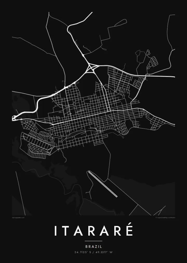
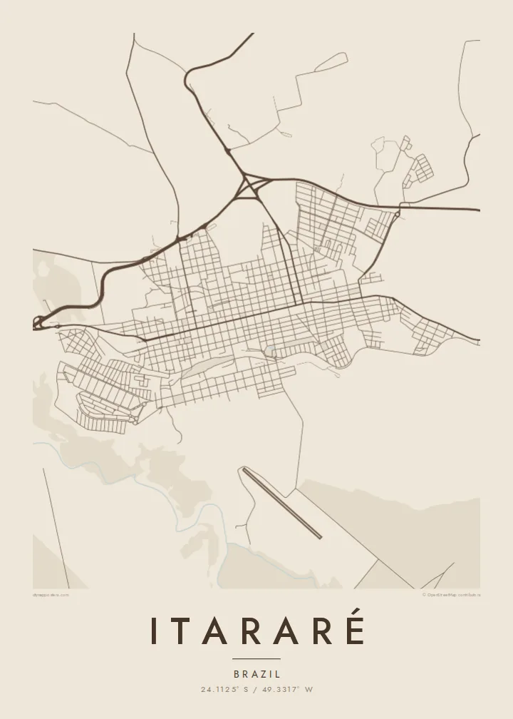
The Itararé river runs along the state line and gives the map a natural western edge between São Paulo and Paraná.
Postè kat minimalis · Brazil
24.1125° S / 49.3317° W
A frontier town on the São Paulo–Paraná border, laid out in a grid beside the river that gave it its name



Yon vil, senk atmosfè
Peze yon style pou wè li sou mi a. Chak style koute menm pri — enprime, ankadre oswa kòm fichye HD.
 Piksèl reyèl · fichye enpresyon 24 × 36″
Byen klè pou enprime
Sa a se yon zoom 100% sou vrè fichye enpresyon an. Chak afich — enprime, ankadre oswa telechaje — jenere sou sèvè nou yo nan 300 DPI, jiska 7,200 × 10,800 piksèl, konsa menm pi piti wout yo rete klè sou yon enpresyon 24 × 36″.
Sou mi a


Kat la
Itararé sits in the far south of São Paulo state, right at the border with Paraná. The Itararé river marks the boundary between the two states. On the map, the town forms a fairly regular grid of blocks on rolling upland, with roads leaving in several directions towards farmland and neighbouring towns. The river valley to the west is cut into the landscape.
The name comes from Tupi and is usually translated as stone carved by water, which fits the eroded river gorges in the region. Itararé is also famous in Brazilian history for the battle that never happened. In 1930, government and revolutionary forces were expected to clash near the town, but the fighting was called off before it started.
An Itararé map poster shows a border town in its simplest form: a compact grid, a few long approach roads and the line of a river that divides two states. The humorist Apparício Torelly took his pen name, Barão de Itararé, from the non-battle, and that story gives this quiet map a wry footnote.
The Itararé river runs along the state line and gives the map a natural western edge between São Paulo and Paraná.
The central blocks are laid out regularly on gently rolling ground, and a small number of main roads carry traffic in and out of town.
Highways leave the town towards both São Paulo and Paraná, drawing long lines that show its position as a crossing point.
Fè l pou ou
Ajoute yon dat, yon non oswa pwòp fraz pa w, chanje estil, gwosè oswa oryantasyon.
Apèsi gratis la se nan rezolisyon ba avèk yon watèrmak. Enpresyon ak fichye HD yo jenere nan 300 DPI, jiska 7,200 × 10,800 px, san watèrmak.
Poukisa Itararé
People hang Itararé for family ties, for a childhood in the interior or for its odd place in the history of 1930. The simple grid next to the border river makes a clean, balanced picture on the wall.
The title, subtitle and coordinates line are all editable, so the poster can carry a name, a date or a private joke about the battle that never was. Pick from five styles: Classic black & white, Noir, Paper, Blueprint or Sand.
Kòmande afich Itararé a| Gwosè enpresyon | Rezolisyon | Fichye |
|---|---|---|
| 30 × 40 cm (11.8 × 15.7″) | 3,543 × 4,724 px | PNG · PDF |
| 29.7 × 42 cm (A3, 11.7 × 16.5″) | 3,508 × 4,961 px | PNG · PDF |
| 42 × 59.4 cm (A2, 16.5 × 23.4″) | 4,961 × 7,016 px | PNG · PDF |
| 45.7 × 61 cm (18 × 24″) | 5,400 × 7,200 px | PNG · PDF |
| 50 × 70 cm (19.7 × 27.6″) | 5,906 × 8,268 px | PNG · PDF |
| 61 × 91.4 cm (24 × 36″) | 7,200 × 10,800 px | PNG · PDF |
Pou konpare, apèsi gratis la gen 900 px lajè, li gen filigràn epi li fèt pou ekran. Fichye HD yo gen jiska 8 fwa plis rezolisyon nan chak direksyon epi yo enprime pwòp nan gwosè postè konplè.
Chwazi yon style anlè paj la, epi chwazi Afich Enprime — yon gwosè epi, si w vle, yon kad — oswa Fichye Dijital HD. Peman an fèt nan yon sèl etap, epi paj kòmand ou a mete ajou kou peman an konfime.
Li enprime sou papye mat premium 200 gsm nan youn nan sis gwosè, soti nan 30 × 40 cm rive nan 24 × 36″. Afich enprime yo kòmanse nan {printFrom}, livrezon enkli.
Wi. Chwazi yon kad an bwa solid nan koulè nwa, blan, chenn natirèl oswa bwa fonse. Li vin ak yon vit ki pa kase epi li pare pou pandye. Afich ankadre yo kòmanse nan {framedFrom}, livrezon enkli.
Livrezon gratis toupatou nan mond lan. Chak afich enprime nan patnè enpresyon ki pi pre nan plis pase 30 peyi, e li rive jeneralman nan 3–7 jou ouvrab. Ou ka swiv estati ak suivi anba My Orders.
Voye nou yon foto nan 14 jou apre livrezon an epi nou ap reenprime li gratis oswa remèt ou lajan w.
Wi. Nan editè a sou paj sa a, chanje tit la, soutit la ak liy kowòdone yo pou nenpòt sa w vle, epi chwazi yon style ak yon gwosè. Kòmand enprime, ankadre ak dijital yo tout itilize egzakteman desen w lan.
Pou $9 ou jwenn fichye PNG 300 DPI ak PDF pare-pou-enprime nan tout sis gwosè yo, san watèrmak, pou enprime kote w vle. Pa sèten toujou? Telechaje yon apèsi gratis ak watèrmak anvan.
