Canal network
Irrigation canals cross the fields around the town in long, straight lines, giving the wider map a precise, engineered pattern that frames the settlement.
Postè kat minimalis · India
28.9213° N / 79.9707° E
A Terai town on the plains of Uttarakhand near the Nepal border, bordered by canals, fields and forest.
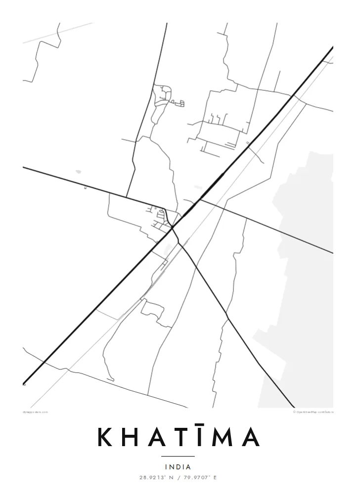
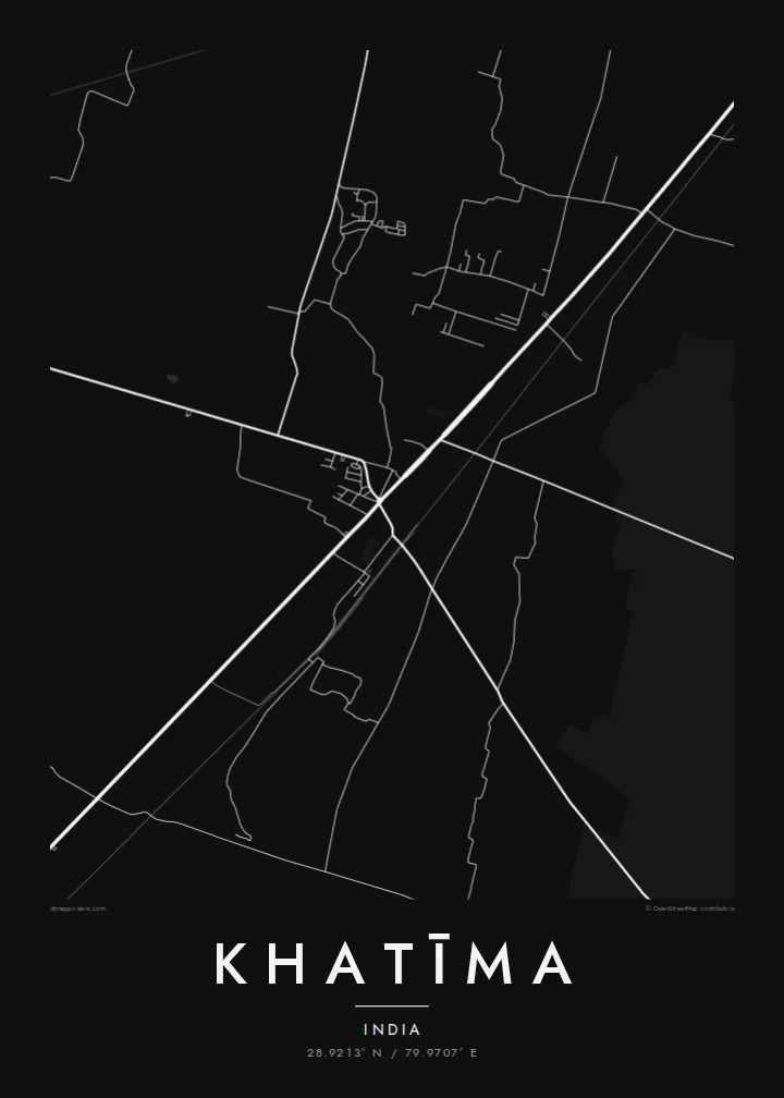

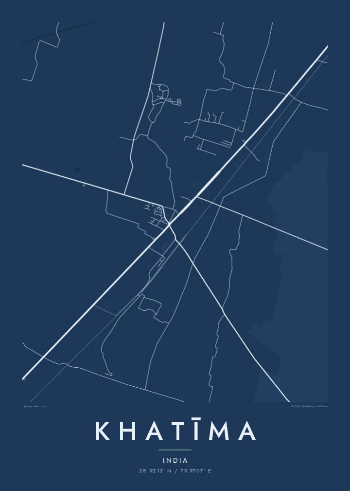

Yon vil, senk atmosfè
Peze yon style pou wè li sou mi a. Chak style koute menm pri — enprime, ankadre oswa kòm fichye HD.
 Piksèl reyèl · fichye enpresyon 24 × 36″
Byen klè pou enprime
Sa a se yon zoom 100% sou vrè fichye enpresyon an. Chak afich — enprime, ankadre oswa telechaje — jenere sou sèvè nou yo nan 300 DPI, jiska 7,200 × 10,800 piksèl, konsa menm pi piti wout yo rete klè sou yon enpresyon 24 × 36″.
Sou mi a


Kat la
Khatīma lies in the Udham Singh Nagar district of Uttarakhand, on the flat Terai plain at the foot of the Himalaya and close to the border with Nepal. The map shows a town spread along its main road and railway line, surrounded by a very regular landscape of irrigated fields, canals and patches of forest. The hills begin a short distance to the north.
The area is a homeland of the Tharu people, a community traditionally associated with the Terai, and many Tharu villages lie around the town. Water shapes the landscape: the Sharda river flows to the east along the frontier, and canals distribute water across the farmland. Khatīma also holds a notable place in the history of the movement for a separate Uttarakhand state.
A Khatīma map poster works well when framed wide enough to show the canals and the long straight lines of the field boundaries, which contrast with the more irregular streets of the town. Blueprint suits the engineered water network, and Paper gives the plains a soft, calm tone. The result is quiet, orderly and quite distinctive.
Irrigation canals cross the fields around the town in long, straight lines, giving the wider map a precise, engineered pattern that frames the settlement.
The main road and the railway pass through Khatīma, forming the axis along which the town has grown and linking it with Tanakpur and the plains beyond.
Patches of forest remain among the farmland of the Terai, appearing as irregular open areas that interrupt the otherwise regular pattern of fields.
Fè l pou ou
Ajoute yon dat, yon non oswa pwòp fraz pa w, chanje estil, gwosè oswa oryantasyon.
Apèsi gratis la se nan rezolisyon ba avèk yon watèrmak. Enpresyon ak fichye HD yo jenere nan 300 DPI, jiska 7,200 × 10,800 px, san watèrmak.
Poukisa Khatīma
Khatīma holds deep meaning for Tharu families, for people from the Kumaon plains, and for those who remember its role in the statehood movement. A map of the town and its canals is a calm, personal image that carries that attachment without needing words.
Add your own title and subtitle, perhaps with a family name, include coordinates or a date, and choose Classic black & white, Noir, Paper, Blueprint or Sand. The $9 download includes six sizes, and printed posters can be ordered with a wooden frame.
Kòmande afich Khatīma a| Gwosè enpresyon | Rezolisyon | Fichye |
|---|---|---|
| 30 × 40 cm (11.8 × 15.7″) | 3,543 × 4,724 px | PNG · PDF |
| 29.7 × 42 cm (A3, 11.7 × 16.5″) | 3,508 × 4,961 px | PNG · PDF |
| 42 × 59.4 cm (A2, 16.5 × 23.4″) | 4,961 × 7,016 px | PNG · PDF |
| 45.7 × 61 cm (18 × 24″) | 5,400 × 7,200 px | PNG · PDF |
| 50 × 70 cm (19.7 × 27.6″) | 5,906 × 8,268 px | PNG · PDF |
| 61 × 91.4 cm (24 × 36″) | 7,200 × 10,800 px | PNG · PDF |
Pou konpare, apèsi gratis la gen 900 px lajè, li gen filigràn epi li fèt pou ekran. Fichye HD yo gen jiska 8 fwa plis rezolisyon nan chak direksyon epi yo enprime pwòp nan gwosè postè konplè.
Chwazi yon style anlè paj la, epi chwazi Afich Enprime — yon gwosè epi, si w vle, yon kad — oswa Fichye Dijital HD. Peman an fèt nan yon sèl etap, epi paj kòmand ou a mete ajou kou peman an konfime.
Li enprime sou papye mat premium 200 gsm nan youn nan sis gwosè, soti nan 30 × 40 cm rive nan 24 × 36″. Afich enprime yo kòmanse nan {printFrom}, livrezon enkli.
Wi. Chwazi yon kad an bwa solid nan koulè nwa, blan, chenn natirèl oswa bwa fonse. Li vin ak yon vit ki pa kase epi li pare pou pandye. Afich ankadre yo kòmanse nan {framedFrom}, livrezon enkli.
Livrezon an gratis nan tout mond lan. Se pi pwòch nan patnè enprimri nou yo nan plis pase 30 peyi ki enprime chak afich la, epi li anjeneral rive nan 3–7 jou ouvrab. Ou ka swiv estati ak swivi kolis la nan Kòmand mwen yo. Gen kèk peyi ki pran 2–5 semèn, e kote nou poko livre a, sit la di w anvan ou peye.
Voye nou yon foto nan 14 jou apre livrezon an epi nou ap reenprime li gratis oswa remèt ou lajan w.
Wi. Nan editè a sou paj sa a, chanje tit la, soutit la ak liy kowòdone yo pou nenpòt sa w vle, epi chwazi yon style ak yon gwosè. Kòmand enprime, ankadre ak dijital yo tout itilize egzakteman desen w lan.
Pou $9 ou jwenn fichye PNG 300 DPI ak PDF pare-pou-enprime nan tout sis gwosè yo, san watèrmak, pou enprime kote w vle. Pa sèten toujou? Telechaje yon apèsi gratis ak watèrmak anvan.
