The Maidan
The great open ground at the centre of the city forms the largest blank space on the map, bordered by Chowringhee on one side and Fort William on the other.
Postè kat minimalis · India
22.5626° N / 88.3630° E
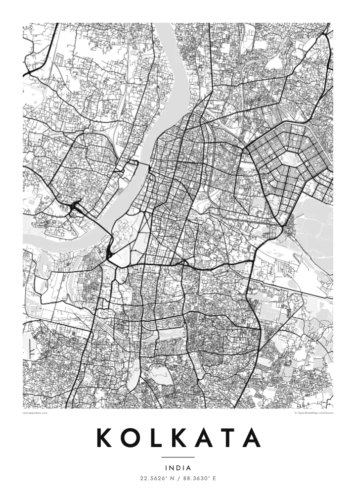
A city stretched along the east bank of the Hooghly, with a great open Maidan at its heart and bridges reaching across.

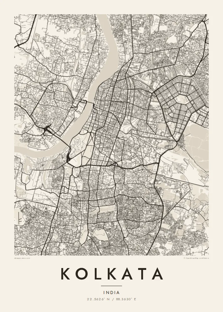


Yon vil, senk atmosfè
Peze yon style pou wè li sou mi a. Chak style koute menm pri — enprime, ankadre oswa kòm fichye HD.
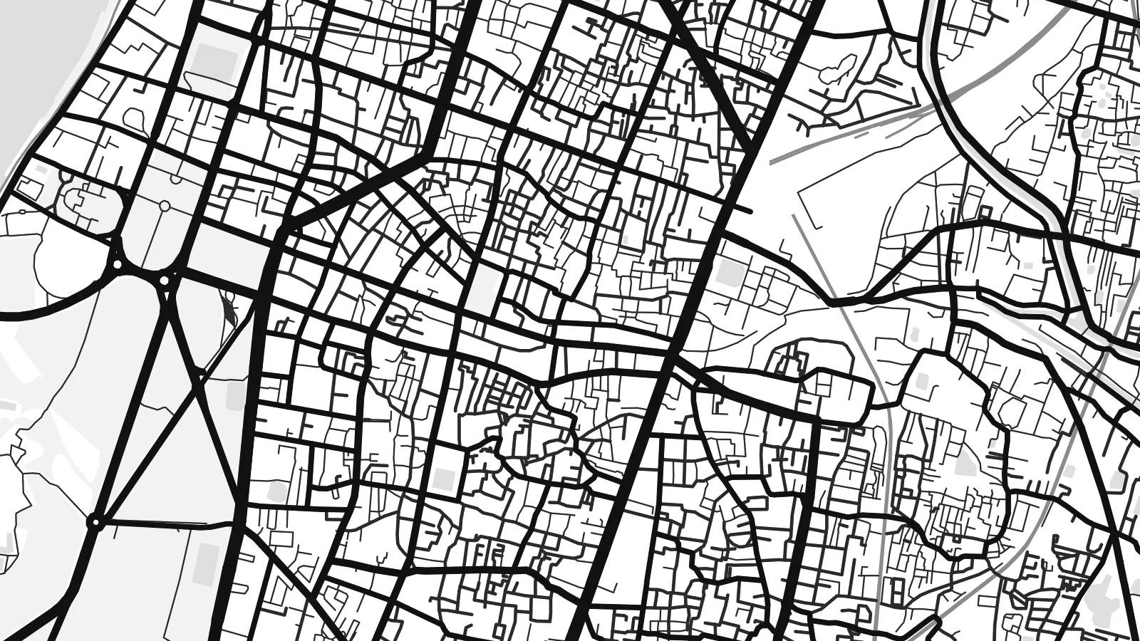 Piksèl reyèl · fichye enpresyon 24 × 36″
Byen klè pou enprime
Sa a se yon zoom 100% sou vrè fichye enpresyon an. Chak afich — enprime, ankadre oswa telechaje — jenere sou sèvè nou yo nan 300 DPI, jiska 7,200 × 10,800 piksèl, konsa menm pi piti wout yo rete klè sou yon enpresyon 24 × 36″.
Sou mi a


Kat la
Kolkata grew along the eastern bank of the Hooghly River, and the map follows that orientation: the city is long from north to south and relatively narrow from east to west. The river curves along its western edge, with Howrah on the opposite bank. Streets in the older northern quarters are dense and irregular, while the southern districts become gradually more open.
At the centre lies the Maidan, a vast open ground that appears as a large empty space in the middle of the street pattern. The Victoria Memorial sits at its southern end and Fort William on its western side, close to the river. To the east, Salt Lake City, or Bidhannagar, was laid out as a planned grid of sectors.
Kolkata was the capital of British India until 1911 and remains a major centre of literature and film. Howrah Bridge, a large cantilever structure opened in 1943, and the later Vidyasagar Setu cross the Hooghly. A Kolkata map poster shows the river, the Maidan and the dense fabric of streets in a single, balanced frame.
The great open ground at the centre of the city forms the largest blank space on the map, bordered by Chowringhee on one side and Fort William on the other.
The cantilever bridge links Kolkata with Howrah across the Hooghly and is one of the city's most recognisable landmarks, a firm line drawn across the river.
The planned township of Bidhannagar, built on reclaimed wetland in the east, shows a regular pattern of sectors and blocks, very different from the older city.
Fè l pou ou
Ajoute yon dat, yon non oswa pwòp fraz pa w, chanje estil, gwosè oswa oryantasyon.
Apèsi gratis la se nan rezolisyon ba avèk yon watèrmak. Enpresyon ak fichye HD yo jenere nan 300 DPI, jiska 7,200 × 10,800 px, san watèrmak.
Poukisa Kolkata
Kolkata is a city people carry with them, in its streets, its books and its long evenings by the river. A poster that shows the Hooghly curving past the Maidan and the old quarters is a way of keeping that familiarity on the wall.
The title, subtitle and coordinates can all be personalised, so the print can mark a family address, a college year or a wedding date. Choose Classic black & white, Noir, Paper, Blueprint or Sand, as a digital file or a printed poster with an optional frame.
Kòmande afich Kolkata a| Gwosè enpresyon | Rezolisyon | Fichye |
|---|---|---|
| 30 × 40 cm11.8 × 15.7″ | 3,543 × 4,724 px | PNG · PDF |
| 29.7 × 42 cm (A3)11.7 × 16.5″ | 3,508 × 4,961 px | PNG · PDF |
| 42 × 59.4 cm (A2)16.5 × 23.4″ | 4,961 × 7,016 px | PNG · PDF |
| 45.7 × 61 cm18 × 24″ | 5,400 × 7,200 px | PNG · PDF |
| 50 × 70 cm19.7 × 27.6″ | 5,906 × 8,268 px | PNG · PDF |
| 61 × 91.4 cm24 × 36″ | 7,200 × 10,800 px | PNG · PDF |
Pou konpare, apèsi gratis la gen 900 px lajè, li gen filigràn epi li fèt pou ekran. Fichye HD yo gen jiska 8 fwa plis rezolisyon nan chak direksyon epi yo enprime pwòp nan gwosè postè konplè.
Chwazi yon style anlè paj la, epi chwazi Afich Enprime — yon gwosè epi, si w vle, yon kad — oswa Fichye Dijital HD. Peman an fèt nan yon sèl etap, epi paj kòmand ou a mete ajou kou peman an konfime.
Li enprime sou papye mat premium 200 gsm nan youn nan sis gwosè, soti nan 30 × 40 cm rive nan 24 × 36″. Afich enprime yo kòmanse nan $39, livrezon enkli.
Wi. Chwazi yon kad an bwa solid nan koulè nwa, blan, chenn natirèl oswa bwa fonse. Li vin ak yon vit ki pa kase epi li pare pou pandye. Afich ankadre yo kòmanse nan $99, livrezon enkli.
Livrezon gratis nan plis pase 60 peyi. Chak afich enprime pa patnè enprimeri ki pi pre w la nan plis pase 30 peyi, e anjeneral li rive nan 3 a 7 jou ouvrab. Ou ka suiv estati a ak swivi kolis la nan Kòmand mwen yo. Kèk peyi pran 2 a 5 semèn, e kote nou poko livre, sit la di w sa anvan w peye.
Voye nou yon foto nan 14 jou apre livrezon an epi nou ap reenprime li gratis oswa remèt ou lajan w.
Wi. Nan editè a sou paj sa a, chanje tit la, soutit la ak liy kowòdone yo pou nenpòt sa w vle, epi chwazi yon style ak yon gwosè. Kòmand enprime, ankadre ak dijital yo tout itilize egzakteman desen w lan.
Pou $9 ou jwenn fichye PNG 300 DPI ak PDF pare-pou-enprime nan tout sis gwosè yo, san watèrmak, pou enprime kote w vle. Pa sèten toujou? Telechaje yon apèsi gratis ak watèrmak anvan.
