Numbered grid
Roads such as 200 Street follow the regional survey grid, a regular lattice that organises farms and suburbs alike and gives the map its underlying rhythm.
Postè kat minimalis · Canada
49.1011° N / 122.6588° W
A patchwork of farmland and suburbs on a numbered road grid, bounded by the Fraser River and the US border.


Yon vil, senk atmosfè
Peze yon style pou wè li sou mi a. Chak style koute menm pri — enprime, ankadre oswa kòm fichye HD.
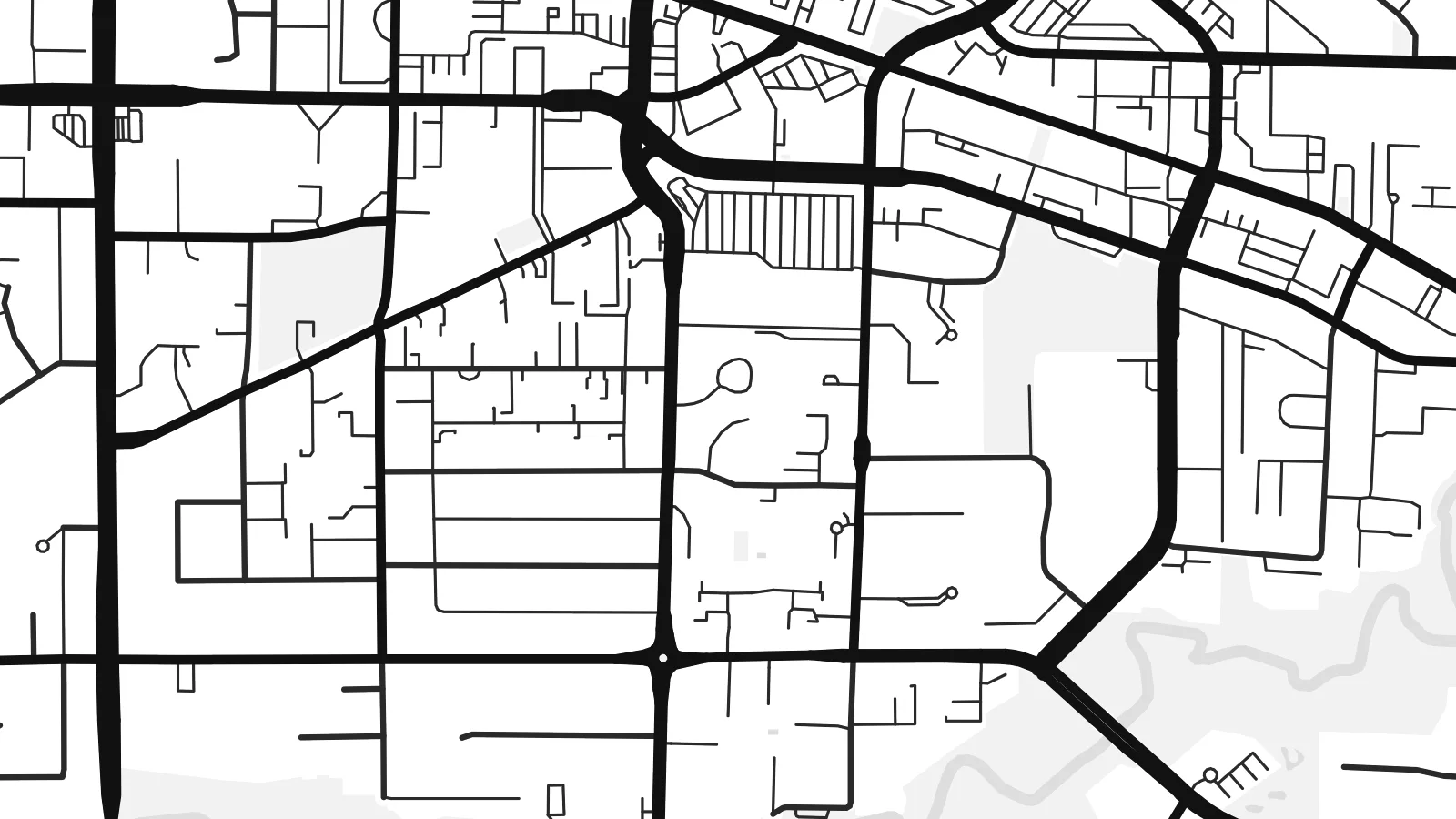 Piksèl reyèl · fichye enpresyon 24 × 36″
Byen klè pou enprime
Sa a se yon zoom 100% sou vrè fichye enpresyon an. Chak afich — enprime, ankadre oswa telechaje — jenere sou sèvè nou yo nan 300 DPI, jiska 7,200 × 10,800 piksèl, konsa menm pi piti wout yo rete klè sou yon enpresyon 24 × 36″.
Sou mi a


Kat la
Langley sits in the Fraser Valley east of Vancouver, and the name covers two neighbouring municipalities: the compact City of Langley and the much larger Township that surrounds it. From above, the area is organised by a regular grid of numbered streets and avenues, the same system used across much of the region, with suburban neighbourhoods filling some squares and farms, nurseries and woodland filling others.
At its northern edge, the village of Fort Langley stands on the Fraser River near the site of a Hudson's Bay Company trading post founded in 1827. It was there, in 1858, that the colony of British Columbia was proclaimed, which gives the village its claim as the birthplace of the province. The southern boundary runs straight along the border with Washington State.
A Langley map poster shows a landscape halfway between city and country. The Trans-Canada Highway slices across the grid, clusters of cul-de-sacs mark newer neighbourhoods such as Willoughby, and the Fraser curves across the top with its islands and sloughs. The overall effect is orderly but never monotonous.
Roads such as 200 Street follow the regional survey grid, a regular lattice that organises farms and suburbs alike and gives the map its underlying rhythm.
The historic village sits on the south bank of the Fraser River, where the curve of the water and a small street pattern form a distinct corner of the map.
To the south, the international boundary with the United States runs perfectly straight, cutting across fields and roads in a way only a map can show.
Fè l pou ou
Ajoute yon dat, yon non oswa pwòp fraz pa w, chanje estil, gwosè oswa oryantasyon.
Apèsi gratis la se nan rezolisyon ba avèk yon watèrmak. Enpresyon ak fichye HD yo jenere nan 300 DPI, jiska 7,200 × 10,800 px, san watèrmak.
Poukisa Langley
Langley is where many families settle when they want space within reach of Vancouver, and a map of the area marks that choice. The mix of grid, river and open land also suits people who like a less crowded, more graphic image.
Add a title such as your neighbourhood, a subtitle and the coordinates, then pick one of the five styles. Digital files come in six sizes, including 18×24″ and 24×36″, and printed posters are available with an optional wooden frame.
Kòmande afich Langley a| Gwosè enpresyon | Rezolisyon | Fichye |
|---|---|---|
| 30 × 40 cm (11.8 × 15.7″) | 3,543 × 4,724 px | PNG · PDF |
| 29.7 × 42 cm (A3, 11.7 × 16.5″) | 3,508 × 4,961 px | PNG · PDF |
| 42 × 59.4 cm (A2, 16.5 × 23.4″) | 4,961 × 7,016 px | PNG · PDF |
| 45.7 × 61 cm (18 × 24″) | 5,400 × 7,200 px | PNG · PDF |
| 50 × 70 cm (19.7 × 27.6″) | 5,906 × 8,268 px | PNG · PDF |
| 61 × 91.4 cm (24 × 36″) | 7,200 × 10,800 px | PNG · PDF |
Pou konpare, apèsi gratis la gen 900 px lajè, li gen filigràn epi li fèt pou ekran. Fichye HD yo gen jiska 8 fwa plis rezolisyon nan chak direksyon epi yo enprime pwòp nan gwosè postè konplè.
Chwazi yon style anlè paj la, epi chwazi Afich Enprime — yon gwosè epi, si w vle, yon kad — oswa Fichye Dijital HD. Peman an fèt nan yon sèl etap, epi paj kòmand ou a mete ajou kou peman an konfime.
Li enprime sou papye mat premium 200 gsm nan youn nan sis gwosè, soti nan 30 × 40 cm rive nan 24 × 36″. Afich enprime yo kòmanse nan {printFrom}, livrezon enkli.
Wi. Chwazi yon kad an bwa solid nan koulè nwa, blan, chenn natirèl oswa bwa fonse. Li vin ak yon vit ki pa kase epi li pare pou pandye. Afich ankadre yo kòmanse nan {framedFrom}, livrezon enkli.
Livrezon an gratis nan tout mond lan. Se pi pwòch nan patnè enprimri nou yo nan plis pase 30 peyi ki enprime chak afich la, epi li anjeneral rive nan 3–7 jou ouvrab. Ou ka swiv estati ak swivi kolis la nan Kòmand mwen yo. Gen kèk peyi ki pran 2–5 semèn, e kote nou poko livre a, sit la di w anvan ou peye.
Voye nou yon foto nan 14 jou apre livrezon an epi nou ap reenprime li gratis oswa remèt ou lajan w.
Wi. Nan editè a sou paj sa a, chanje tit la, soutit la ak liy kowòdone yo pou nenpòt sa w vle, epi chwazi yon style ak yon gwosè. Kòmand enprime, ankadre ak dijital yo tout itilize egzakteman desen w lan.
Pou $9 ou jwenn fichye PNG 300 DPI ak PDF pare-pou-enprime nan tout sis gwosè yo, san watèrmak, pou enprime kote w vle. Pa sèten toujou? Telechaje yon apèsi gratis ak watèrmak anvan.
