Paseo de la Castellana
The long north–south boulevard runs from the centre past government buildings, museums and towers. It gives the map its strongest straight line and a clear sense of direction.
Postè kat minimalis · Spain
40.4165° N / 3.7026° W
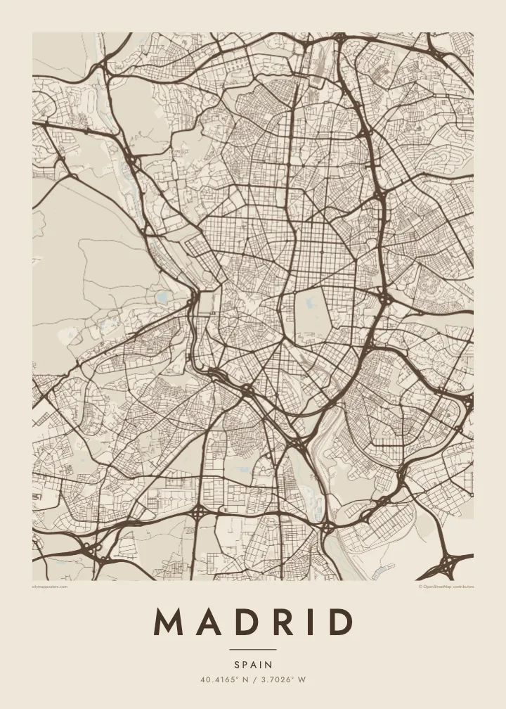
A high plateau capital centred on a compact old core, with a long boulevard running north and ring roads circling outward.
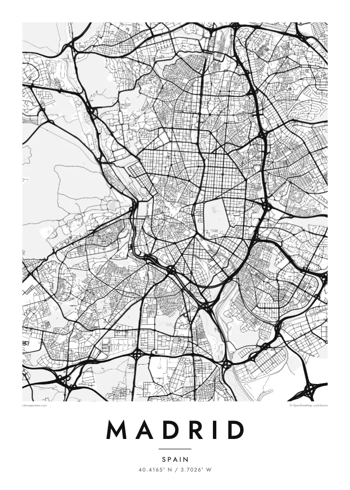
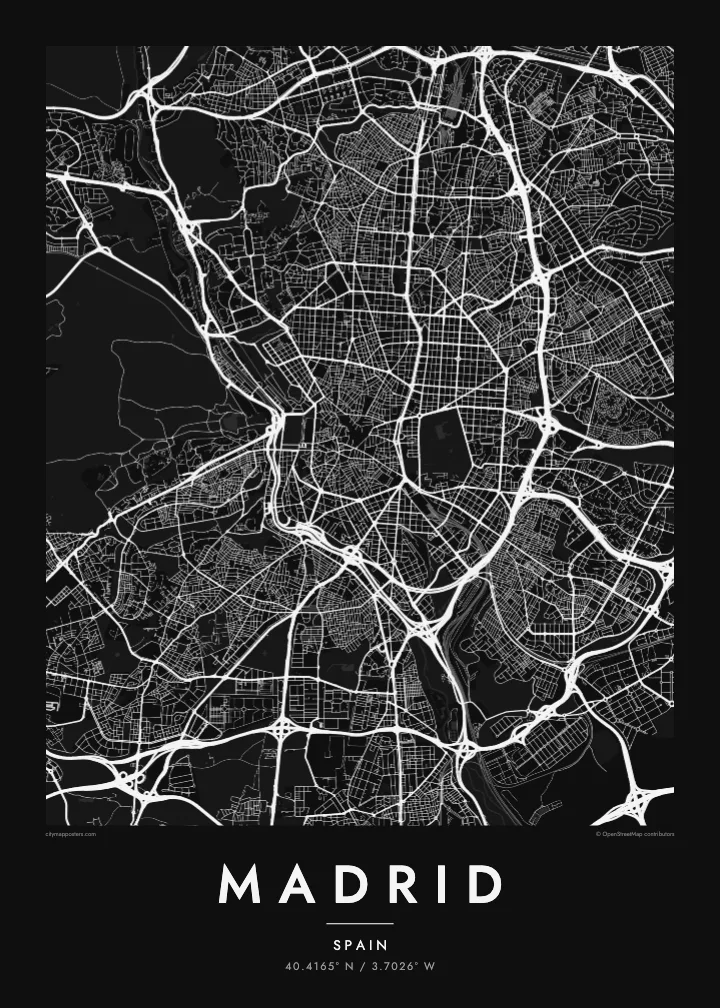
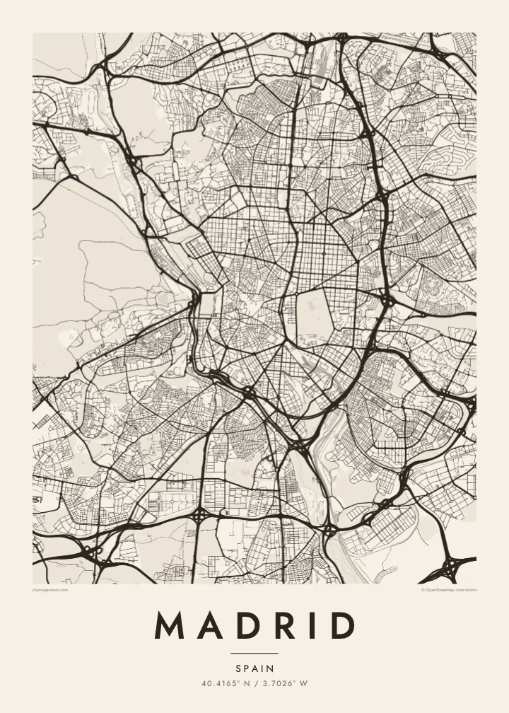
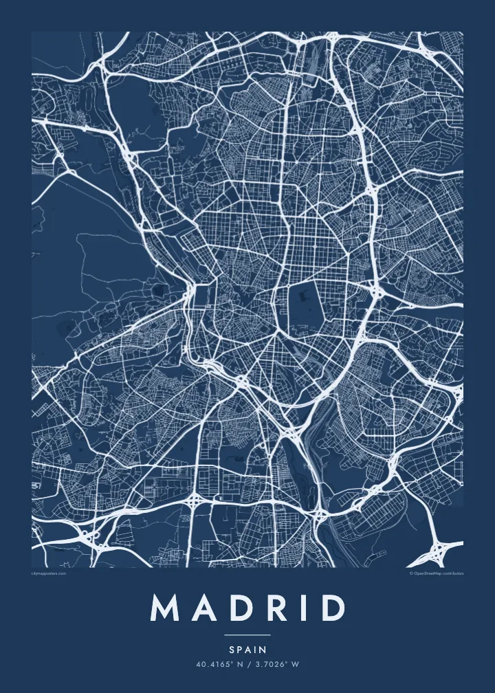
Yon vil, senk atmosfè
Peze yon style pou wè li sou mi a. Chak style koute menm pri — enprime, ankadre oswa kòm fichye HD.
 Piksèl reyèl · fichye enpresyon 24 × 36″
Byen klè pou enprime
Sa a se yon zoom 100% sou vrè fichye enpresyon an. Chak afich — enprime, ankadre oswa telechaje — jenere sou sèvè nou yo nan 300 DPI, jiska 7,200 × 10,800 piksèl, konsa menm pi piti wout yo rete klè sou yon enpresyon 24 × 36″.
Sou mi a

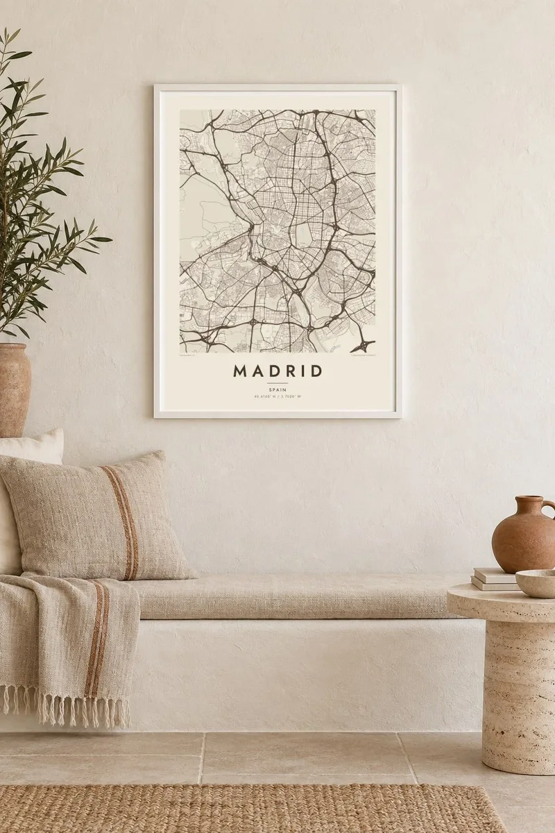
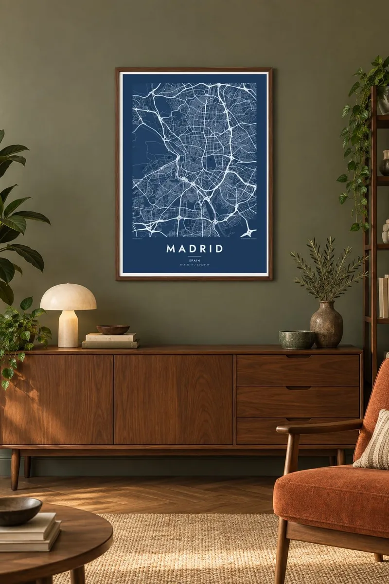
Kat la
Madrid sits near the geographic centre of Spain at around 650 metres, one of the highest capitals in Europe. Its oldest streets form an irregular knot around Puerta del Sol and the Plaza Mayor, and kilometre zero of the national road network is marked in the pavement at Sol. From there the city spreads in rings, and each era left a clearly different street pattern.
To the north-east, the nineteenth-century extension of Salamanca introduced a regular grid of long, straight blocks. The Paseo de la Castellana runs north from the centre as a broad spine through the financial district. Retiro Park forms a large green block east of the old town, and Gran Vía cuts a confident diagonal through the older streets.
On the western side, the Manzanares River runs below the Royal Palace and past the large wooded expanse of Casa de Campo. Its banks became the Madrid Río park after the M-30 ring road beside them was moved into tunnels. A Madrid map poster frames all of this within the concentric rings of the M-30 and M-40.
The long north–south boulevard runs from the centre past government buildings, museums and towers. It gives the map its strongest straight line and a clear sense of direction.
Just east of the historic centre, the park is a large, well-defined green shape with a lake and formal paths, framed by the grid of the districts around it.
A linear park follows the river's modest course. Beyond it, Casa de Campo opens as the city's largest green space, a wide empty area on the western side of the map.
Fè l pou ou
Ajoute yon dat, yon non oswa pwòp fraz pa w, chanje estil, gwosè oswa oryantasyon.
Apèsi gratis la se nan rezolisyon ba avèk yon watèrmak. Enpresyon ak fichye HD yo jenere nan 300 DPI, jiska 7,200 × 10,800 px, san watèrmak.
Poukisa Madrid
Madrid is often hung by people who lived there for a few important years, as students, young professionals or newcomers to Spain. Its structure of old core, grid and rings is easy to read, so a first flat or a favourite plaza is quick to find.
Personalise the title and subtitle, perhaps with the name of a barrio, and adjust the coordinates line. Choose Classic black & white, Noir, Paper, Blueprint or Sand. Printed posters on matte paper are available, with an optional wooden frame.
Kòmande afich Madrid a| Gwosè enpresyon | Rezolisyon | Fichye |
|---|---|---|
| 30 × 40 cm (11.8 × 15.7″) | 3,543 × 4,724 px | PNG · PDF |
| 29.7 × 42 cm (A3, 11.7 × 16.5″) | 3,508 × 4,961 px | PNG · PDF |
| 42 × 59.4 cm (A2, 16.5 × 23.4″) | 4,961 × 7,016 px | PNG · PDF |
| 45.7 × 61 cm (18 × 24″) | 5,400 × 7,200 px | PNG · PDF |
| 50 × 70 cm (19.7 × 27.6″) | 5,906 × 8,268 px | PNG · PDF |
| 61 × 91.4 cm (24 × 36″) | 7,200 × 10,800 px | PNG · PDF |
Pou konpare, apèsi gratis la gen 900 px lajè, li gen filigràn epi li fèt pou ekran. Fichye HD yo gen jiska 8 fwa plis rezolisyon nan chak direksyon epi yo enprime pwòp nan gwosè postè konplè.
Chwazi yon style anlè paj la, epi chwazi Afich Enprime — yon gwosè epi, si w vle, yon kad — oswa Fichye Dijital HD. Peman an fèt nan yon sèl etap, epi paj kòmand ou a mete ajou kou peman an konfime.
Li enprime sou papye mat premium 200 gsm nan youn nan sis gwosè, soti nan 30 × 40 cm rive nan 24 × 36″. Afich enprime yo kòmanse nan {printFrom}, livrezon enkli.
Wi. Chwazi yon kad an bwa solid nan koulè nwa, blan, chenn natirèl oswa bwa fonse. Li vin ak yon vit ki pa kase epi li pare pou pandye. Afich ankadre yo kòmanse nan {framedFrom}, livrezon enkli.
Livrezon an gratis nan tout mond lan. Se pi pwòch nan patnè enprimri nou yo nan plis pase 30 peyi ki enprime chak afich la, epi li anjeneral rive nan 3–7 jou ouvrab. Ou ka swiv estati ak swivi kolis la nan Kòmand mwen yo. Gen kèk peyi ki pran 2–5 semèn, e kote nou poko livre a, sit la di w anvan ou peye.
Voye nou yon foto nan 14 jou apre livrezon an epi nou ap reenprime li gratis oswa remèt ou lajan w.
Wi. Nan editè a sou paj sa a, chanje tit la, soutit la ak liy kowòdone yo pou nenpòt sa w vle, epi chwazi yon style ak yon gwosè. Kòmand enprime, ankadre ak dijital yo tout itilize egzakteman desen w lan.
Pou $9 ou jwenn fichye PNG 300 DPI ak PDF pare-pou-enprime nan tout sis gwosè yo, san watèrmak, pou enprime kote w vle. Pa sèten toujou? Telechaje yon apèsi gratis ak watèrmak anvan.
