Clock tower centre
The central roundabout and clock tower anchor the small grid of commercial streets, which is the densest and most regular part of the map.
Postè kat minimalis · Tanzania
3.3500° S / 37.3333° E
A town on the lower southern slopes of Kilimanjaro, crossed by streams running down toward the plains


Yon vil, senk atmosfè
Peze yon style pou wè li sou mi a. Chak style koute menm pri — enprime, ankadre oswa kòm fichye HD.
 Piksèl reyèl · fichye enpresyon 24 × 36″
Byen klè pou enprime
Sa a se yon zoom 100% sou vrè fichye enpresyon an. Chak afich — enprime, ankadre oswa telechaje — jenere sou sèvè nou yo nan 300 DPI, jiska 7,200 × 10,800 piksèl, konsa menm pi piti wout yo rete klè sou yon enpresyon 24 × 36″.
Sou mi a

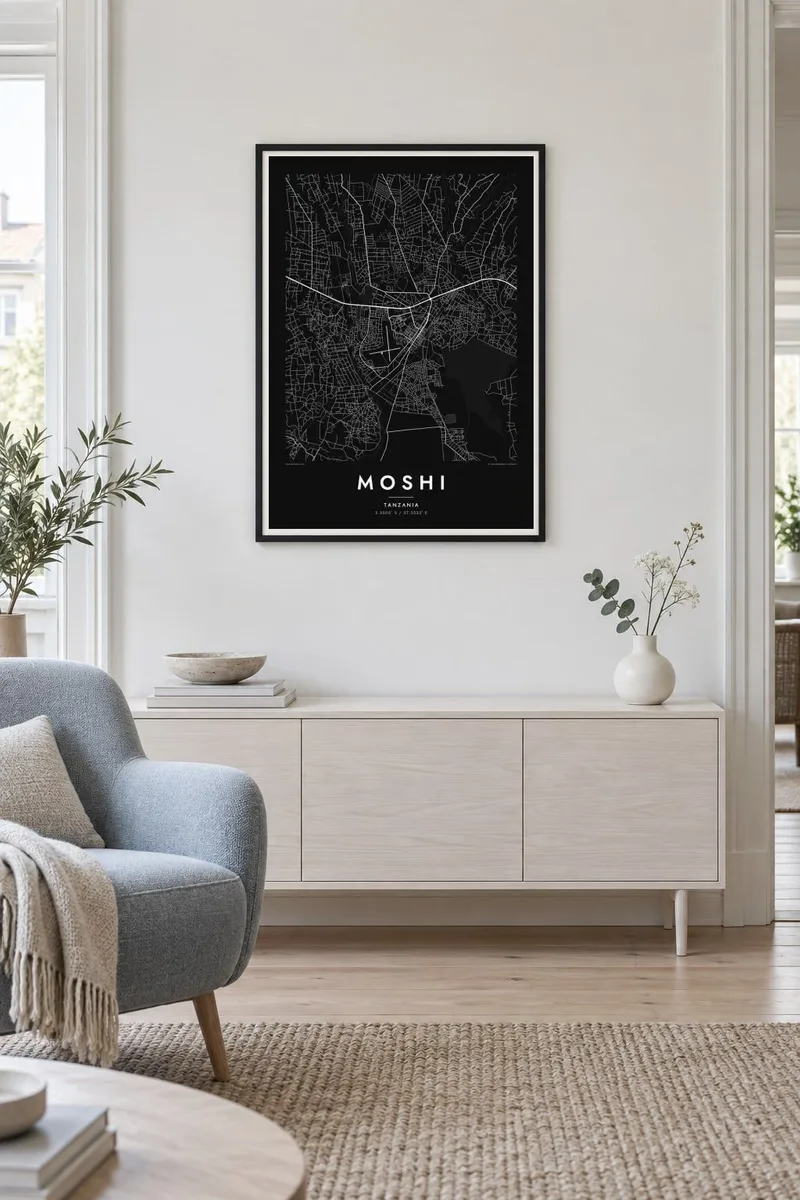

Kat la
Moshi lies at the foot of Mount Kilimanjaro in northern Tanzania, on the gently sloping ground where the mountain's lower flanks meet the plains. On a map the town centre is compact, with a grid of streets around the central market and the clock tower. Suburbs spread uphill to the north and outward along the main roads to Arusha and the Kenyan border.
Water shapes the land around the town. Streams fed by rain and meltwater from the mountain cut small valleys through Moshi and the villages around it on their way south to the plains. Above the town, the slopes are covered with a patchwork of farms and home gardens growing coffee and bananas. This landscape has supported the Chagga people for generations.
Moshi is the main starting point for climbs of Kilimanjaro, Africa's highest mountain, and trekkers pass through the town all year. A Moshi map poster sets its streets against the rising ground. The grid of the centre gives way to the fine lines of paths and farms as the land climbs toward the national park.
The central roundabout and clock tower anchor the small grid of commercial streets, which is the densest and most regular part of the map.
Streams coming down from Kilimanjaro cut shallow valleys across the town and its surroundings. They draw long, parallel lines running roughly north to south.
North of town, farmland and villages climb the mountain's lower slopes. The poster shifts gradually from urban streets to open terrain.
Fè l pou ou
Ajoute yon dat, yon non oswa pwòp fraz pa w, chanje estil, gwosè oswa oryantasyon.
Apèsi gratis la se nan rezolisyon ba avèk yon watèrmak. Enpresyon ak fichye HD yo jenere nan 300 DPI, jiska 7,200 × 10,800 px, san watèrmak.
Poukisa Moshi
Climbers who reached the summit, volunteers and students who stayed in Moshi, and families from the Kilimanjaro region all find meaning in this map. It marks a starting point, a home or a long season spent below the mountain.
Add the date of your climb or your stay, a title and a subtitle, and choose one of five styles, from Classic black & white to warm Sand. Download the HD files for $9, or order a matte print shipped from a partner close to you.
Kòmande afich Moshi a| Gwosè enpresyon | Rezolisyon | Fichye |
|---|---|---|
| 30 × 40 cm (11.8 × 15.7″) | 3,543 × 4,724 px | PNG · PDF |
| 29.7 × 42 cm (A3, 11.7 × 16.5″) | 3,508 × 4,961 px | PNG · PDF |
| 42 × 59.4 cm (A2, 16.5 × 23.4″) | 4,961 × 7,016 px | PNG · PDF |
| 45.7 × 61 cm (18 × 24″) | 5,400 × 7,200 px | PNG · PDF |
| 50 × 70 cm (19.7 × 27.6″) | 5,906 × 8,268 px | PNG · PDF |
| 61 × 91.4 cm (24 × 36″) | 7,200 × 10,800 px | PNG · PDF |
Pou konpare, apèsi gratis la gen 900 px lajè, li gen filigràn epi li fèt pou ekran. Fichye HD yo gen jiska 8 fwa plis rezolisyon nan chak direksyon epi yo enprime pwòp nan gwosè postè konplè.
Chwazi yon style anlè paj la, epi chwazi Afich Enprime — yon gwosè epi, si w vle, yon kad — oswa Fichye Dijital HD. Peman an fèt nan yon sèl etap, epi paj kòmand ou a mete ajou kou peman an konfime.
Li enprime sou papye mat premium 200 gsm nan youn nan sis gwosè, soti nan 30 × 40 cm rive nan 24 × 36″. Afich enprime yo kòmanse nan {printFrom}, livrezon enkli.
Wi. Chwazi yon kad an bwa solid nan koulè nwa, blan, chenn natirèl oswa bwa fonse. Li vin ak yon vit ki pa kase epi li pare pou pandye. Afich ankadre yo kòmanse nan {framedFrom}, livrezon enkli.
Livrezon gratis toupatou nan mond lan. Chak afich enprime nan patnè enpresyon ki pi pre nan plis pase 30 peyi, e li rive jeneralman nan 3–7 jou ouvrab. Ou ka swiv estati ak suivi anba My Orders.
Voye nou yon foto nan 14 jou apre livrezon an epi nou ap reenprime li gratis oswa remèt ou lajan w.
Wi. Nan editè a sou paj sa a, chanje tit la, soutit la ak liy kowòdone yo pou nenpòt sa w vle, epi chwazi yon style ak yon gwosè. Kòmand enprime, ankadre ak dijital yo tout itilize egzakteman desen w lan.
Pou $9 ou jwenn fichye PNG 300 DPI ak PDF pare-pou-enprime nan tout sis gwosè yo, san watèrmak, pou enprime kote w vle. Pa sèten toujou? Telechaje yon apèsi gratis ak watèrmak anvan.
