Moated fort
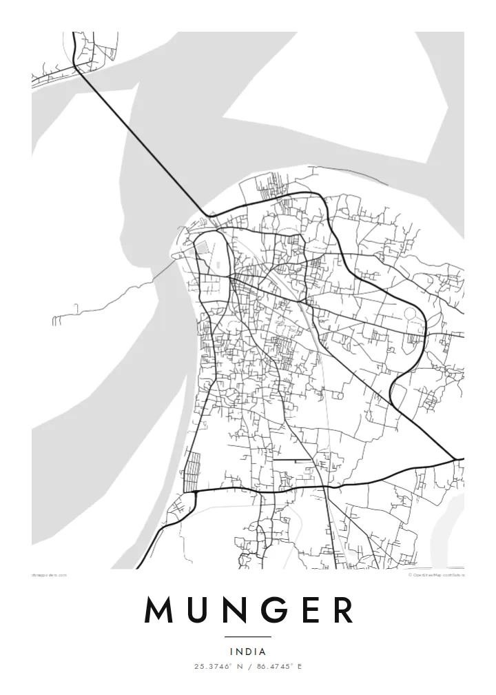
The old fort shows as a distinct enclosure on the riverbank. Its moat and gates form a clear geometric shape among the irregular streets around it.
Postè kat minimalis · India
25.3746° N / 86.4745° E
A riverside town pressed against the south bank of the Ganges, with an old moated fort at its water's edge.


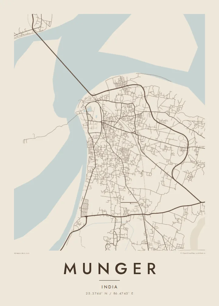
Yon vil, senk atmosfè
Peze yon style pou wè li sou mi a. Chak style koute menm pri — enprime, ankadre oswa kòm fichye HD.
 Piksèl reyèl · fichye enpresyon 24 × 36″
Byen klè pou enprime
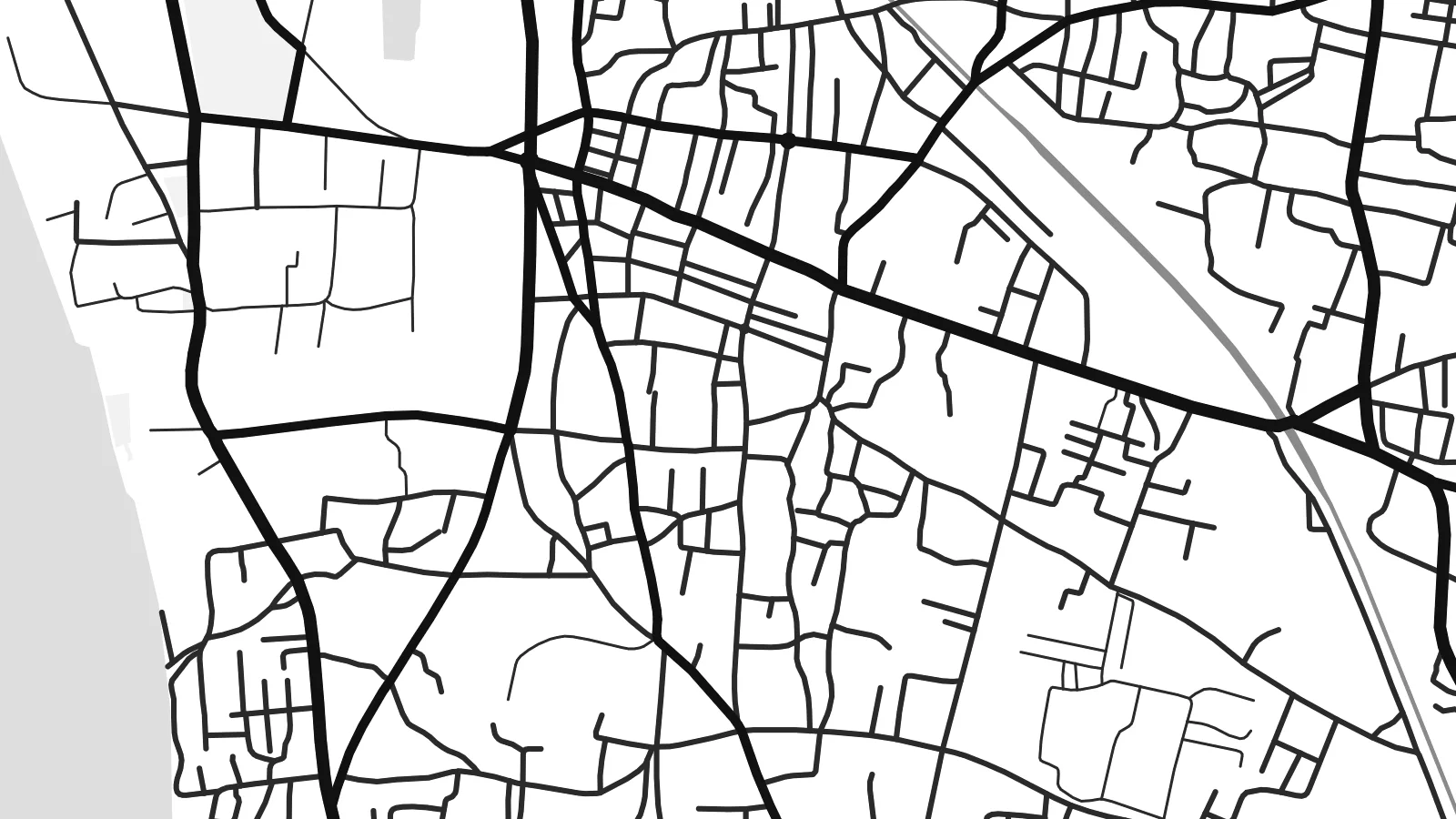
Sa a se yon zoom 100% sou vrè fichye enpresyon an. Chak afich — enprime, ankadre oswa telechaje — jenere sou sèvè nou yo nan 300 DPI, jiska 7,200 × 10,800 piksèl, konsa menm pi piti wout yo rete klè sou yon enpresyon 24 × 36″.
Sou mi a


Kat la
Munger lies on the south bank of the Ganges in eastern Bihar, and the river shapes almost everything about its plan. The town stretches along the water rather than spreading evenly, with the broad channel and its sandbanks filling one side of the frame. Inland the streets become denser and less regular, gathering around markets, rail lines and the older neighbourhoods that grew up behind the riverfront.
The fort is the clearest mark on the map: a walled enclosure beside the river, ringed by a moat. It was a seat of power in the eighteenth century, when Mir Qasim, Nawab of Bengal, made Munger his capital. The town is also known for the Bihar School of Yoga, founded here in the 1960s, and for a long tradition of gun-making.
A Munger map poster captures the point where a crowded inland town meets one of the great rivers of South Asia. The newer Ganga bridge, carrying road and rail to the north bank, adds a long straight line across the water. It looks distinctly modern beside the older street pattern around the fort.
The old fort shows as a distinct enclosure on the riverbank. Its moat and gates form a clear geometric shape among the irregular streets around it.
The river runs along the edge of town in a wide, open band, with seasonal sandbars and channels that give the poster a large area of calm negative space.
A combined rail and road bridge crosses the Ganges near the town, drawing a single long line from Munger to the plains on the opposite bank.
Fè l pou ou
Ajoute yon dat, yon non oswa pwòp fraz pa w, chanje estil, gwosè oswa oryantasyon.
Apèsi gratis la se nan rezolisyon ba avèk yon watèrmak. Enpresyon ak fichye HD yo jenere nan 300 DPI, jiska 7,200 × 10,800 px, san watèrmak.
Poukisa Munger
For people from Munger, the map holds the ghats, the fort walls and the lanes leading back from the river. For yoga students who trained here, it marks a place of long practice. Either way, the combination of river and fort reads clearly on a wall.
Personalise the title, subtitle and coordinates line, then pick one of five styles, from Classic black & white to Blueprint or the warm tones of Sand. The files come in six print sizes as 300 DPI PNG and print-ready PDF, or you can order a printed matte poster.
Kòmande afich Munger a| Gwosè enpresyon | Rezolisyon | Fichye |
|---|---|---|
| 30 × 40 cm (11.8 × 15.7″) | 3,543 × 4,724 px | PNG · PDF |
| 29.7 × 42 cm (A3, 11.7 × 16.5″) | 3,508 × 4,961 px | PNG · PDF |
| 42 × 59.4 cm (A2, 16.5 × 23.4″) | 4,961 × 7,016 px | PNG · PDF |
| 45.7 × 61 cm (18 × 24″) | 5,400 × 7,200 px | PNG · PDF |
| 50 × 70 cm (19.7 × 27.6″) | 5,906 × 8,268 px | PNG · PDF |
| 61 × 91.4 cm (24 × 36″) | 7,200 × 10,800 px | PNG · PDF |
Pou konpare, apèsi gratis la gen 900 px lajè, li gen filigràn epi li fèt pou ekran. Fichye HD yo gen jiska 8 fwa plis rezolisyon nan chak direksyon epi yo enprime pwòp nan gwosè postè konplè.
Chwazi yon style anlè paj la, epi chwazi Afich Enprime — yon gwosè epi, si w vle, yon kad — oswa Fichye Dijital HD. Peman an fèt nan yon sèl etap, epi paj kòmand ou a mete ajou kou peman an konfime.
Li enprime sou papye mat premium 200 gsm nan youn nan sis gwosè, soti nan 30 × 40 cm rive nan 24 × 36″. Afich enprime yo kòmanse nan {printFrom}, livrezon enkli.
Wi. Chwazi yon kad an bwa solid nan koulè nwa, blan, chenn natirèl oswa bwa fonse. Li vin ak yon vit ki pa kase epi li pare pou pandye. Afich ankadre yo kòmanse nan {framedFrom}, livrezon enkli.
Livrezon an gratis nan tout mond lan. Se pi pwòch nan patnè enprimri nou yo nan plis pase 30 peyi ki enprime chak afich la, epi li anjeneral rive nan 3–7 jou ouvrab. Ou ka swiv estati ak swivi kolis la nan Kòmand mwen yo. Gen kèk peyi ki pran 2–5 semèn, e kote nou poko livre a, sit la di w anvan ou peye.
Voye nou yon foto nan 14 jou apre livrezon an epi nou ap reenprime li gratis oswa remèt ou lajan w.
Wi. Nan editè a sou paj sa a, chanje tit la, soutit la ak liy kowòdone yo pou nenpòt sa w vle, epi chwazi yon style ak yon gwosè. Kòmand enprime, ankadre ak dijital yo tout itilize egzakteman desen w lan.
Pou $9 ou jwenn fichye PNG 300 DPI ak PDF pare-pou-enprime nan tout sis gwosè yo, san watèrmak, pou enprime kote w vle. Pa sèten toujou? Telechaje yon apèsi gratis ak watèrmak anvan.
