Óbuda Island
The long island in the Danube, once a shipyard, lies parallel to the western bank. With its narrow side channel, it forms a distinctive double line of water.
Postè kat minimalis · Hungary
47.5407° N / 19.0386° E
Budapest's northern riverside, with a long island in the Danube, Roman ruins and streets climbing into the Buda Hills.


Yon vil, senk atmosfè
Peze yon style pou wè li sou mi a. Chak style koute menm pri — enprime, ankadre oswa kòm fichye HD.
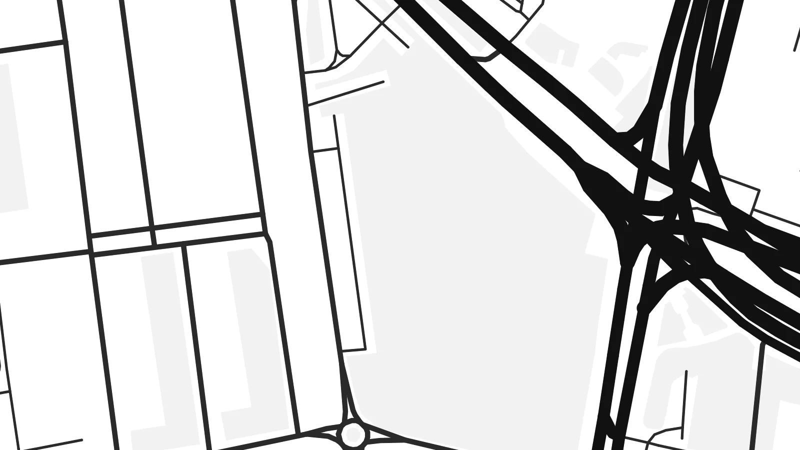 Piksèl reyèl · fichye enpresyon 24 × 36″
Byen klè pou enprime
Sa a se yon zoom 100% sou vrè fichye enpresyon an. Chak afich — enprime, ankadre oswa telechaje — jenere sou sèvè nou yo nan 300 DPI, jiska 7,200 × 10,800 piksèl, konsa menm pi piti wout yo rete klè sou yon enpresyon 24 × 36″.
Sou mi a


Kat la
Óbuda, meaning Old Buda, was a separate town until 1873, when it joined Buda and Pest to form Budapest. Today it is District III on the west bank of the Danube, stretching north from the Árpád Bridge towards the city limits. On a map it spreads between the straight line of the river and the rising ground of the hills to the west.
The riverside is its strongest feature. Óbuda Island lies just offshore. It was long used as a shipyard and is now known as the home of the Sziget Festival. The suburban HÉV railway runs parallel to the water. Inland, a small historic core around Fő tér survives beside large housing estates, and the street pattern loosens as it climbs westward into wooded slopes.
Long before Budapest existed, this was Aquincum, the Roman town that served as the capital of the province of Pannonia Inferior. Its remains, including two amphitheatres, are still visible among modern streets. An Óbuda map poster shows those layers clearly, with ancient sites, Danube channels, bridges and hillside lanes held in a single frame.
The long island in the Danube, once a shipyard, lies parallel to the western bank. With its narrow side channel, it forms a distinctive double line of water.
Roman ruins appear as open plots within the street pattern, from the site of the civil town in the north to the military amphitheatre closer to the centre.
Budapest's longest bridge crosses the Danube and the northern tip of Margaret Island here, a strong horizontal line at the southern edge of the district.
Fè l pou ou
Ajoute yon dat, yon non oswa pwòp fraz pa w, chanje estil, gwosè oswa oryantasyon.
Apèsi gratis la se nan rezolisyon ba avèk yon watèrmak. Enpresyon ak fichye HD yo jenere nan 300 DPI, jiska 7,200 × 10,800 px, san watèrmak.
Poukisa Óbuda
Óbuda suits people who know Budapest beyond its postcard centre: those who lived near Flórián tér, came for the festival or walked the Roman sites. The river and the island give the print a clean structure that holds up at any of the six print sizes.
Rename it, add a subtitle such as the district number or a date, and set the coordinates line as you like. Then choose Classic black & white, Noir, Paper, Blueprint or Sand. Download the HD files for $9, or order a matte print with an optional wooden frame.
Kòmande afich Óbuda a| Gwosè enpresyon | Rezolisyon | Fichye |
|---|---|---|
| 30 × 40 cm (11.8 × 15.7″) | 3,543 × 4,724 px | PNG · PDF |
| 29.7 × 42 cm (A3, 11.7 × 16.5″) | 3,508 × 4,961 px | PNG · PDF |
| 42 × 59.4 cm (A2, 16.5 × 23.4″) | 4,961 × 7,016 px | PNG · PDF |
| 45.7 × 61 cm (18 × 24″) | 5,400 × 7,200 px | PNG · PDF |
| 50 × 70 cm (19.7 × 27.6″) | 5,906 × 8,268 px | PNG · PDF |
| 61 × 91.4 cm (24 × 36″) | 7,200 × 10,800 px | PNG · PDF |
Pou konpare, apèsi gratis la gen 900 px lajè, li gen filigràn epi li fèt pou ekran. Fichye HD yo gen jiska 8 fwa plis rezolisyon nan chak direksyon epi yo enprime pwòp nan gwosè postè konplè.
Chwazi yon style anlè paj la, epi chwazi Afich Enprime — yon gwosè epi, si w vle, yon kad — oswa Fichye Dijital HD. Peman an fèt nan yon sèl etap, epi paj kòmand ou a mete ajou kou peman an konfime.
Li enprime sou papye mat premium 200 gsm nan youn nan sis gwosè, soti nan 30 × 40 cm rive nan 24 × 36″. Afich enprime yo kòmanse nan {printFrom}, livrezon enkli.
Wi. Chwazi yon kad an bwa solid nan koulè nwa, blan, chenn natirèl oswa bwa fonse. Li vin ak yon vit ki pa kase epi li pare pou pandye. Afich ankadre yo kòmanse nan {framedFrom}, livrezon enkli.
Livrezon gratis toupatou nan mond lan. Chak afich enprime nan patnè enpresyon ki pi pre nan plis pase 30 peyi, e li rive jeneralman nan 3–7 jou ouvrab. Ou ka swiv estati ak suivi anba My Orders.
Voye nou yon foto nan 14 jou apre livrezon an epi nou ap reenprime li gratis oswa remèt ou lajan w.
Wi. Nan editè a sou paj sa a, chanje tit la, soutit la ak liy kowòdone yo pou nenpòt sa w vle, epi chwazi yon style ak yon gwosè. Kòmand enprime, ankadre ak dijital yo tout itilize egzakteman desen w lan.
Pou $9 ou jwenn fichye PNG 300 DPI ak PDF pare-pou-enprime nan tout sis gwosè yo, san watèrmak, pou enprime kote w vle. Pa sèten toujou? Telechaje yon apèsi gratis ak watèrmak anvan.
