Checkerboard historic centre
The old town is a regular grid of straight streets meeting at right angles, one of the clearest planned layouts of any port city in the region.
Postè kat minimalis · Ukraine
46.4857° N / 30.7438° E
A port city laid out on a strict grid above the Black Sea, its streets ending abruptly at cliffs, harbour piers and long sandy beaches.


Yon vil, senk atmosfè
Peze yon style pou wè li sou mi a. Chak style koute menm pri — enprime, ankadre oswa kòm fichye HD.
 Piksèl reyèl · fichye enpresyon 24 × 36″
Byen klè pou enprime
Sa a se yon zoom 100% sou vrè fichye enpresyon an. Chak afich — enprime, ankadre oswa telechaje — jenere sou sèvè nou yo nan 300 DPI, jiska 7,200 × 10,800 piksèl, konsa menm pi piti wout yo rete klè sou yon enpresyon 24 × 36″.
Sou mi a
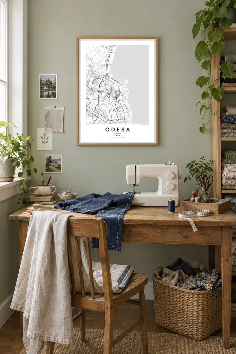
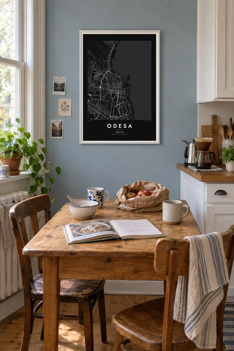
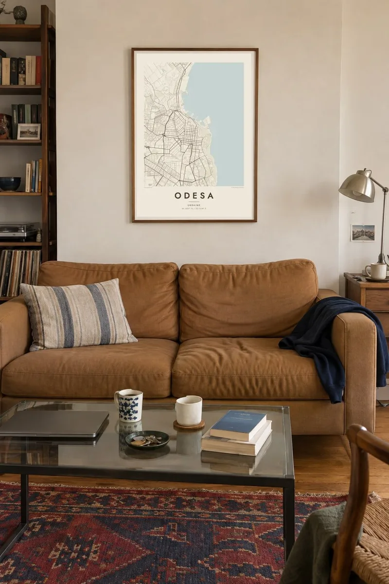
Kat la
Seen from above, Odesa is one of the most legible cities on the Black Sea coast. Its historic centre is a tight orthogonal grid, planned at the end of the eighteenth century after an imperial decree of 1794 founded a new port here. Straight streets run inland from the bluff above the harbour and cross at right angles, giving the old town a checkerboard look that you can recognise at a glance.
Along the edge of that grid, the land drops toward the port. Piers, breakwaters and cargo basins push out into the bay, and a green belt of parks and slopes separates the upper city from the water. To the south, the coastline softens into a string of beaches, from Lanzheron past Arcadia, while to the north the long, narrow limans, flooded river estuaries, cut deep into the land.
An Odesa map poster shows how deliberate the city was from the start: a planned grid set against an irregular coast. The historic centre was added to the UNESCO World Heritage List in 2023, and the famous stairway linking the upper boulevard to the port appears as a short, precise line between the two levels of the city.
The old town is a regular grid of straight streets meeting at right angles, one of the clearest planned layouts of any port city in the region.
Piers, basins and protective moles extend from below the bluff into Odesa Bay, drawing hard geometric shapes against the open water of the Black Sea.
Narrow estuary lakes such as Khadzhibey and Kuyalnyk reach inland from the coast, long pale shapes that frame the city's northern edge on the map.
Fè l pou ou
Ajoute yon dat, yon non oswa pwòp fraz pa w, chanje estil, gwosè oswa oryantasyon.
Apèsi gratis la se nan rezolisyon ba avèk yon watèrmak. Enpresyon ak fichye HD yo jenere nan 300 DPI, jiska 7,200 × 10,800 px, san watèrmak.
Poukisa Odesa
Odesa means the sea, a particular summer, a family story that started in one of those courtyards. A map of its grid holds all of that quietly, without needing a photograph. It suits a hallway or a study, and it reads as clearly from across the room as it does up close.
You can set your own title, add a subtitle with a date or a street name, and edit the coordinates line. Choose from five styles, Classic black & white, Noir, Paper, Blueprint or Sand, and order a $9 HD file or a printed poster, framed if you like.
Kòmande afich Odesa a| Gwosè enpresyon | Rezolisyon | Fichye |
|---|---|---|
| 30 × 40 cm (11.8 × 15.7″) | 3,543 × 4,724 px | PNG · PDF |
| 29.7 × 42 cm (A3, 11.7 × 16.5″) | 3,508 × 4,961 px | PNG · PDF |
| 42 × 59.4 cm (A2, 16.5 × 23.4″) | 4,961 × 7,016 px | PNG · PDF |
| 45.7 × 61 cm (18 × 24″) | 5,400 × 7,200 px | PNG · PDF |
| 50 × 70 cm (19.7 × 27.6″) | 5,906 × 8,268 px | PNG · PDF |
| 61 × 91.4 cm (24 × 36″) | 7,200 × 10,800 px | PNG · PDF |
Pou konpare, apèsi gratis la gen 900 px lajè, li gen filigràn epi li fèt pou ekran. Fichye HD yo gen jiska 8 fwa plis rezolisyon nan chak direksyon epi yo enprime pwòp nan gwosè postè konplè.
Chwazi yon style anlè paj la, epi chwazi Afich Enprime — yon gwosè epi, si w vle, yon kad — oswa Fichye Dijital HD. Peman an fèt nan yon sèl etap, epi paj kòmand ou a mete ajou kou peman an konfime.
Li enprime sou papye mat premium 200 gsm nan youn nan sis gwosè, soti nan 30 × 40 cm rive nan 24 × 36″. Afich enprime yo kòmanse nan {printFrom}, livrezon enkli.
Wi. Chwazi yon kad an bwa solid nan koulè nwa, blan, chenn natirèl oswa bwa fonse. Li vin ak yon vit ki pa kase epi li pare pou pandye. Afich ankadre yo kòmanse nan {framedFrom}, livrezon enkli.
Livrezon gratis toupatou nan mond lan. Chak afich enprime nan patnè enpresyon ki pi pre nan plis pase 30 peyi, e li rive jeneralman nan 3–7 jou ouvrab. Ou ka swiv estati ak suivi anba My Orders.
Voye nou yon foto nan 14 jou apre livrezon an epi nou ap reenprime li gratis oswa remèt ou lajan w.
Wi. Nan editè a sou paj sa a, chanje tit la, soutit la ak liy kowòdone yo pou nenpòt sa w vle, epi chwazi yon style ak yon gwosè. Kòmand enprime, ankadre ak dijital yo tout itilize egzakteman desen w lan.
Pou $9 ou jwenn fichye PNG 300 DPI ak PDF pare-pou-enprime nan tout sis gwosè yo, san watèrmak, pou enprime kote w vle. Pa sèten toujou? Telechaje yon apèsi gratis ak watèrmak anvan.
