Oze River border
The river on the western edge divides Ōtake from Iwakuni. It forms both a natural and a prefectural boundary on the map.
Postè kat minimalis · Japan
34.2075° N / 132.2206° E
A narrow industrial city on the Seto Inland Sea, squeezed between wooded hills and a reclaimed waterfront.


Yon vil, senk atmosfè
Peze yon style pou wè li sou mi a. Chak style koute menm pri — enprime, ankadre oswa kòm fichye HD.
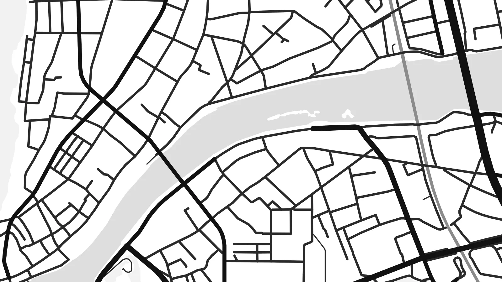 Piksèl reyèl · fichye enpresyon 24 × 36″
Byen klè pou enprime
Sa a se yon zoom 100% sou vrè fichye enpresyon an. Chak afich — enprime, ankadre oswa telechaje — jenere sou sèvè nou yo nan 300 DPI, jiska 7,200 × 10,800 piksèl, konsa menm pi piti wout yo rete klè sou yon enpresyon 24 × 36″.
Sou mi a


Kat la
Ōtake is the westernmost city of Hiroshima Prefecture, on the coast of the Seto Inland Sea. On a map it forms a thin strip of settlement between steep forested hills and the sea. The Oze River marks its western edge and the border with Iwakuni in Yamaguchi Prefecture. Rail lines and the coastal road run close to the shore, with residential streets packed in behind them.
Much of the waterfront is reclaimed land occupied by a large petrochemical and industrial complex. Its long rectangular plots and straight quays give the coast a hard geometric edge. Inland, the hills rise quickly, and small valleys hold farms and hamlets. The contrast between the industrial shoreline and the green uplands is the defining feature of the city from above.
An Ōtake map poster is a study in contrasts: large industrial shapes along the water, a fine network of homes and small streets, and wooded slopes above. It suits people who work in the plants, families who have lived here for generations and anyone who knows this stretch of the Inland Sea coast between Hiroshima and Iwakuni.
The river on the western edge divides Ōtake from Iwakuni. It forms both a natural and a prefectural boundary on the map.
Straight quays and large industrial plots occupy land built out into the Inland Sea, forming a hard, geometric waterfront.
Behind the narrow coastal strip, steep hills and small valleys hold scattered farms and settlements in a much looser pattern.
Fè l pou ou
Ajoute yon dat, yon non oswa pwòp fraz pa w, chanje estil, gwosè oswa oryantasyon.
Apèsi gratis la se nan rezolisyon ba avèk yon watèrmak. Enpresyon ak fichye HD yo jenere nan 300 DPI, jiska 7,200 × 10,800 px, san watèrmak.
Poukisa Ōtake
The map suits people who know the town from work or family, and anyone drawn to the look of coastal industrial Japan. The strong shapes along the water make a bold graphic print, especially in darker styles.
Personalise the title, subtitle and coordinates line with a name, a date or a short dedication. Choose Classic black & white, Noir, Paper, Blueprint or Sand. HD files come in six print sizes, each as a PNG and a PDF.
Kòmande afich Ōtake a| Gwosè enpresyon | Rezolisyon | Fichye |
|---|---|---|
| 30 × 40 cm (11.8 × 15.7″) | 3,543 × 4,724 px | PNG · PDF |
| 29.7 × 42 cm (A3, 11.7 × 16.5″) | 3,508 × 4,961 px | PNG · PDF |
| 42 × 59.4 cm (A2, 16.5 × 23.4″) | 4,961 × 7,016 px | PNG · PDF |
| 45.7 × 61 cm (18 × 24″) | 5,400 × 7,200 px | PNG · PDF |
| 50 × 70 cm (19.7 × 27.6″) | 5,906 × 8,268 px | PNG · PDF |
| 61 × 91.4 cm (24 × 36″) | 7,200 × 10,800 px | PNG · PDF |
Pou konpare, apèsi gratis la gen 900 px lajè, li gen filigràn epi li fèt pou ekran. Fichye HD yo gen jiska 8 fwa plis rezolisyon nan chak direksyon epi yo enprime pwòp nan gwosè postè konplè.
Chwazi yon style anlè paj la, epi chwazi Afich Enprime — yon gwosè epi, si w vle, yon kad — oswa Fichye Dijital HD. Peman an fèt nan yon sèl etap, epi paj kòmand ou a mete ajou kou peman an konfime.
Li enprime sou papye mat premium 200 gsm nan youn nan sis gwosè, soti nan 30 × 40 cm rive nan 24 × 36″. Afich enprime yo kòmanse nan {printFrom}, livrezon enkli.
Wi. Chwazi yon kad an bwa solid nan koulè nwa, blan, chenn natirèl oswa bwa fonse. Li vin ak yon vit ki pa kase epi li pare pou pandye. Afich ankadre yo kòmanse nan {framedFrom}, livrezon enkli.
Livrezon gratis toupatou nan mond lan. Chak afich enprime nan patnè enpresyon ki pi pre nan plis pase 30 peyi, e li rive jeneralman nan 3–7 jou ouvrab. Ou ka swiv estati ak suivi anba My Orders.
Voye nou yon foto nan 14 jou apre livrezon an epi nou ap reenprime li gratis oswa remèt ou lajan w.
Wi. Nan editè a sou paj sa a, chanje tit la, soutit la ak liy kowòdone yo pou nenpòt sa w vle, epi chwazi yon style ak yon gwosè. Kòmand enprime, ankadre ak dijital yo tout itilize egzakteman desen w lan.
Pou $9 ou jwenn fichye PNG 300 DPI ak PDF pare-pou-enprime nan tout sis gwosè yo, san watèrmak, pou enprime kote w vle. Pa sèten toujou? Telechaje yon apèsi gratis ak watèrmak anvan.
