Vltava and its bridges
The river curves through the city in a broad S, crossed by Charles Bridge and a series of later bridges. Several islands divide the channel.
Postè kat minimalis · Czechia
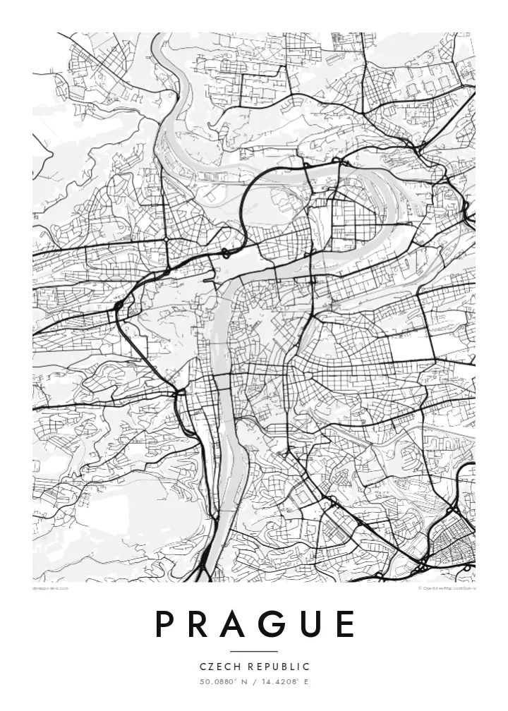
50.0880° N / 14.4208° E
A city built along a deep bend of the Vltava, with the castle on one bank and the Old Town on the other.


Yon vil, senk atmosfè
Peze yon style pou wè li sou mi a. Chak style koute menm pri — enprime, ankadre oswa kòm fichye HD.
 Piksèl reyèl · fichye enpresyon 24 × 36″
Byen klè pou enprime
Sa a se yon zoom 100% sou vrè fichye enpresyon an. Chak afich — enprime, ankadre oswa telechaje — jenere sou sèvè nou yo nan 300 DPI, jiska 7,200 × 10,800 piksèl, konsa menm pi piti wout yo rete klè sou yon enpresyon 24 × 36″.
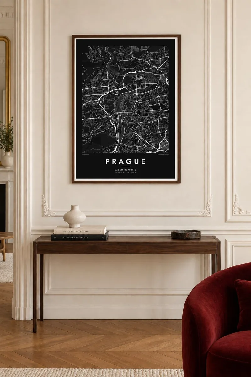
Sou mi a


Kat la
The Vltava flows north through Prague in a wide S-shaped curve and divides the city into two clearly different halves. On the left bank, the castle complex stretches along a ridge above Malá Strana, with the green slopes of Petřín hill to the south. On the right bank are the Old Town and the New Town, whose streets gather toward the river from the flatter ground to the east.
Charles Bridge, begun in 1357, links the two banks and remains one of the most recognisable elements of any Prague map poster. Upstream and downstream, a series of later bridges crosses the river at regular intervals, and islands such as Kampa and Střelecký ostrov divide the water. The Old Town's streets meet at the square with the astronomical clock, first installed in 1410.
The New Town was founded by Charles IV in 1348 and was laid out on an ambitious scale for its time. Wenceslas Square and Charles Square are still among the largest open spaces in the city. To the south, the fortress of Vyšehrad sits above the river on a rocky outcrop. Together these layers make Prague one of Europe's most detailed and rewarding maps.
The river curves through the city in a broad S, crossed by Charles Bridge and a series of later bridges. Several islands divide the channel.
On the left bank, the long castle complex follows the ridge above the Lesser Town. The winding lanes of Malá Strana descend from it toward the river.
Charles IV's fourteenth-century plan introduced large squares and wide streets. Wenceslas Square is still the long, clear rectangle at the centre of the modern city.
Fè l pou ou
Ajoute yon dat, yon non oswa pwòp fraz pa w, chanje estil, gwosè oswa oryantasyon.
Apèsi gratis la se nan rezolisyon ba avèk yon watèrmak. Enpresyon ak fichye HD yo jenere nan 300 DPI, jiska 7,200 × 10,800 px, san watèrmak.
Poukisa Prague
Prague is where many people studied, fell in love or spent a significant trip, and its river, bridges and castle create one of the most balanced city maps in Europe. It works at both small and large sizes.
Add a title such as Praha, a subtitle and your own coordinates or date, and choose Classic black & white, Noir, Paper, Blueprint or Sand. Download HD files or order a print with an optional wooden frame.
Kòmande afich Prague a| Gwosè enpresyon | Rezolisyon | Fichye |
|---|---|---|
| 30 × 40 cm (11.8 × 15.7″) | 3,543 × 4,724 px | PNG · PDF |
| 29.7 × 42 cm (A3, 11.7 × 16.5″) | 3,508 × 4,961 px | PNG · PDF |
| 42 × 59.4 cm (A2, 16.5 × 23.4″) | 4,961 × 7,016 px | PNG · PDF |
| 45.7 × 61 cm (18 × 24″) | 5,400 × 7,200 px | PNG · PDF |
| 50 × 70 cm (19.7 × 27.6″) | 5,906 × 8,268 px | PNG · PDF |
| 61 × 91.4 cm (24 × 36″) | 7,200 × 10,800 px | PNG · PDF |
Pou konpare, apèsi gratis la gen 900 px lajè, li gen filigràn epi li fèt pou ekran. Fichye HD yo gen jiska 8 fwa plis rezolisyon nan chak direksyon epi yo enprime pwòp nan gwosè postè konplè.
Chwazi yon style anlè paj la, epi chwazi Afich Enprime — yon gwosè epi, si w vle, yon kad — oswa Fichye Dijital HD. Peman an fèt nan yon sèl etap, epi paj kòmand ou a mete ajou kou peman an konfime.
Li enprime sou papye mat premium 200 gsm nan youn nan sis gwosè, soti nan 30 × 40 cm rive nan 24 × 36″. Afich enprime yo kòmanse nan {printFrom}, livrezon enkli.
Wi. Chwazi yon kad an bwa solid nan koulè nwa, blan, chenn natirèl oswa bwa fonse. Li vin ak yon vit ki pa kase epi li pare pou pandye. Afich ankadre yo kòmanse nan {framedFrom}, livrezon enkli.
Livrezon an gratis nan tout mond lan. Se pi pwòch nan patnè enprimri nou yo nan plis pase 30 peyi ki enprime chak afich la, epi li anjeneral rive nan 3–7 jou ouvrab. Ou ka swiv estati ak swivi kolis la nan Kòmand mwen yo. Gen kèk peyi ki pran 2–5 semèn, e kote nou poko livre a, sit la di w anvan ou peye.
Voye nou yon foto nan 14 jou apre livrezon an epi nou ap reenprime li gratis oswa remèt ou lajan w.
Wi. Nan editè a sou paj sa a, chanje tit la, soutit la ak liy kowòdone yo pou nenpòt sa w vle, epi chwazi yon style ak yon gwosè. Kòmand enprime, ankadre ak dijital yo tout itilize egzakteman desen w lan.
Pou $9 ou jwenn fichye PNG 300 DPI ak PDF pare-pou-enprime nan tout sis gwosè yo, san watèrmak, pou enprime kote w vle. Pa sèten toujou? Telechaje yon apèsi gratis ak watèrmak anvan.
