Pioneer grid
Broad streets laid out on a compass-aligned grid form large, even blocks, a plan shared by many towns founded by Latter-day Saint settlers across the region.
Postè kat minimalis · United States
43.8260° N / 111.7897° W
A wide-street grid on the upper Snake River Plain, anchored by a university campus and a temple on the hill.


Yon vil, senk atmosfè
Peze yon style pou wè li sou mi a. Chak style koute menm pri — enprime, ankadre oswa kòm fichye HD.
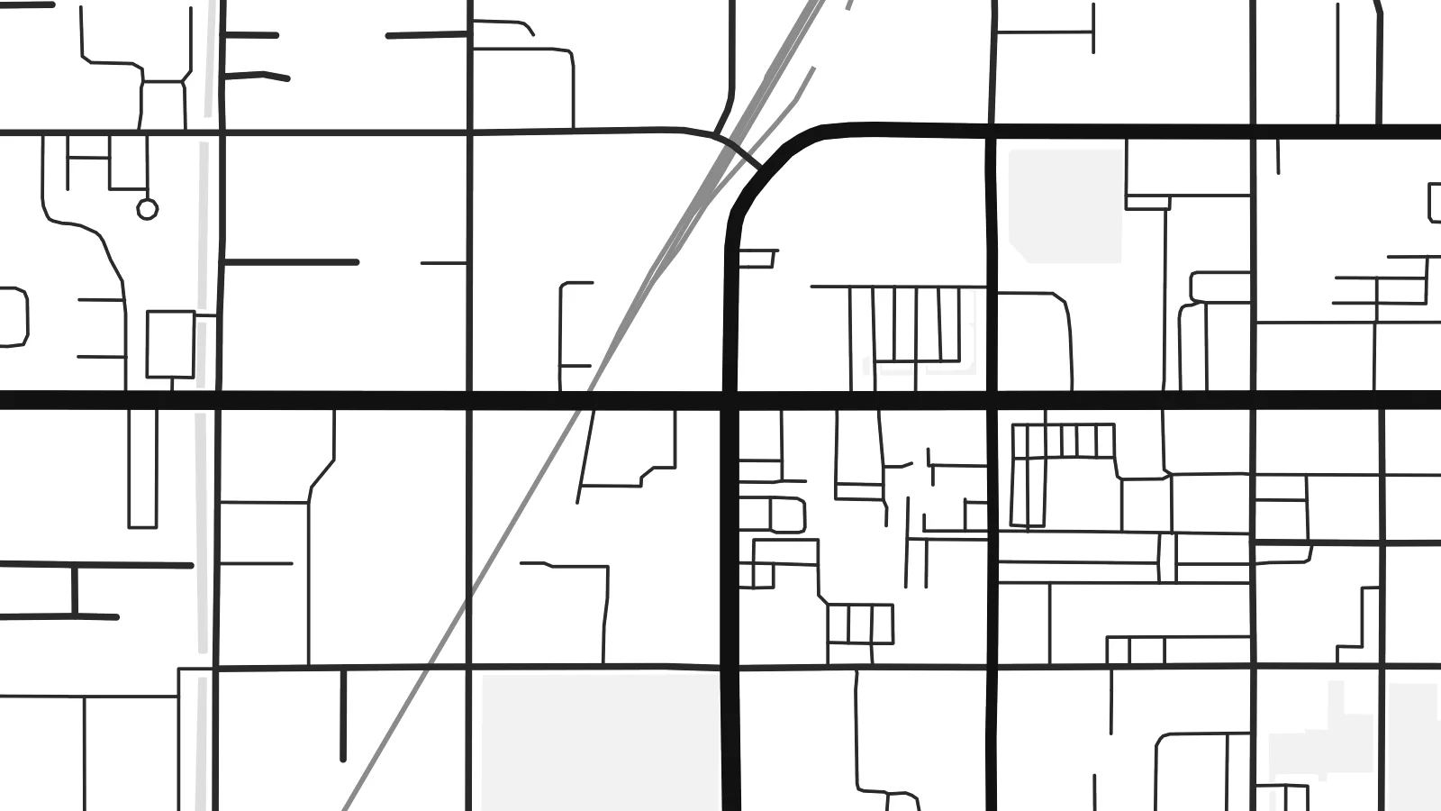 Piksèl reyèl · fichye enpresyon 24 × 36″
Byen klè pou enprime
Sa a se yon zoom 100% sou vrè fichye enpresyon an. Chak afich — enprime, ankadre oswa telechaje — jenere sou sèvè nou yo nan 300 DPI, jiska 7,200 × 10,800 piksèl, konsa menm pi piti wout yo rete klè sou yon enpresyon 24 × 36″.
Sou mi a


Kat la
Rexburg lies in south-eastern Idaho, on the upper Snake River Plain, with the Teton Range visible on the eastern horizon. Latter-day Saint settlers founded it in 1883, and its plan follows the pattern used in many of the towns they established. A regular grid of broad streets is aligned to the compass, with large square blocks that look notably spacious on a map.
The town is home to Brigham Young University–Idaho, whose campus covers a large area on rising ground near the centre, with the Rexburg Idaho Temple beside it. The Teton River runs along the northern side of town on its way to the Henrys Fork. In 1976, the collapse of the Teton Dam upstream sent floodwaters into the town, an event still remembered locally.
A Rexburg map poster shows the clarity of that original plan: straight streets, generous blocks, and the larger shapes of the campus and temple grounds. Around the town, the grid continues into farmland as section roads that run for miles in perfectly straight lines. In a minimal style, the result is orderly and open, much like the valley itself.
Broad streets laid out on a compass-aligned grid form large, even blocks, a plan shared by many towns founded by Latter-day Saint settlers across the region.
The university campus fills a substantial area near the centre, its buildings and open spaces standing out against the regular pattern of surrounding residential streets.
The Teton River runs along the northern side of town, a winding line that softens the otherwise strict geometry of streets and farm roads.
Fè l pou ou
Ajoute yon dat, yon non oswa pwòp fraz pa w, chanje estil, gwosè oswa oryantasyon.
Apèsi gratis la se nan rezolisyon ba avèk yon watèrmak. Enpresyon ak fichye HD yo jenere nan 300 DPI, jiska 7,200 × 10,800 px, san watèrmak.
Poukisa Rexburg
Students and graduates of BYU–Idaho often keep a map of Rexburg as a record of their years there, and families in Madison County hang it as a picture of home. It also makes a thoughtful gift for a graduation or a first move.
Personalise the title and subtitle with a name, a class year or a wedding date, and edit the coordinates line. Pick Classic black & white, Noir, Paper, Blueprint or Sand, and order a matte print or download the $9 HD files in six sizes.
Kòmande afich Rexburg a| Gwosè enpresyon | Rezolisyon | Fichye |
|---|---|---|
| 30 × 40 cm11.8 × 15.7″ | 3,543 × 4,724 px | PNG · PDF |
| 29.7 × 42 cm (A3)11.7 × 16.5″ | 3,508 × 4,961 px | PNG · PDF |
| 42 × 59.4 cm (A2)16.5 × 23.4″ | 4,961 × 7,016 px | PNG · PDF |
| 45.7 × 61 cm18 × 24″ | 5,400 × 7,200 px | PNG · PDF |
| 50 × 70 cm19.7 × 27.6″ | 5,906 × 8,268 px | PNG · PDF |
| 61 × 91.4 cm24 × 36″ | 7,200 × 10,800 px | PNG · PDF |
Pou konpare, apèsi gratis la gen 900 px lajè, li gen filigràn epi li fèt pou ekran. Fichye HD yo gen jiska 8 fwa plis rezolisyon nan chak direksyon epi yo enprime pwòp nan gwosè postè konplè.
Chwazi yon style anlè paj la, epi chwazi Afich Enprime — yon gwosè epi, si w vle, yon kad — oswa Fichye Dijital HD. Peman an fèt nan yon sèl etap, epi paj kòmand ou a mete ajou kou peman an konfime.
Li enprime sou papye mat premium 200 gsm nan youn nan sis gwosè, soti nan 30 × 40 cm rive nan 24 × 36″. Afich enprime yo kòmanse nan $39, livrezon enkli.
Wi. Chwazi yon kad an bwa solid nan koulè nwa, blan, chenn natirèl oswa bwa fonse. Li vin ak yon vit ki pa kase epi li pare pou pandye. Afich ankadre yo kòmanse nan $99, livrezon enkli.
Livrezon gratis nan plis pase 60 peyi. Chak afich enprime pa patnè enprimeri ki pi pre w la nan plis pase 30 peyi, e anjeneral li rive nan 3 a 7 jou ouvrab. Ou ka suiv estati a ak swivi kolis la nan Kòmand mwen yo. Kèk peyi pran 2 a 5 semèn, e kote nou poko livre, sit la di w sa anvan w peye.
Voye nou yon foto nan 14 jou apre livrezon an epi nou ap reenprime li gratis oswa remèt ou lajan w.
Wi. Nan editè a sou paj sa a, chanje tit la, soutit la ak liy kowòdone yo pou nenpòt sa w vle, epi chwazi yon style ak yon gwosè. Kòmand enprime, ankadre ak dijital yo tout itilize egzakteman desen w lan.
Pou $9 ou jwenn fichye PNG 300 DPI ak PDF pare-pou-enprime nan tout sis gwosè yo, san watèrmak, pou enprime kote w vle. Pa sèten toujou? Telechaje yon apèsi gratis ak watèrmak anvan.
