The river's bend
The Milwaukee River curves through the city centre, giving the map a clear flowing line that explains the name at a glance.
Postè kat minimalis · United States
43.4253° N / 88.1834° W
A Wisconsin river city where the Milwaukee River makes its namesake bend through downtown, surrounded by lakes, parks and glacial hills.


Yon vil, senk atmosfè
Peze yon style pou wè li sou mi a. Chak style koute menm pri — enprime, ankadre oswa kòm fichye HD.
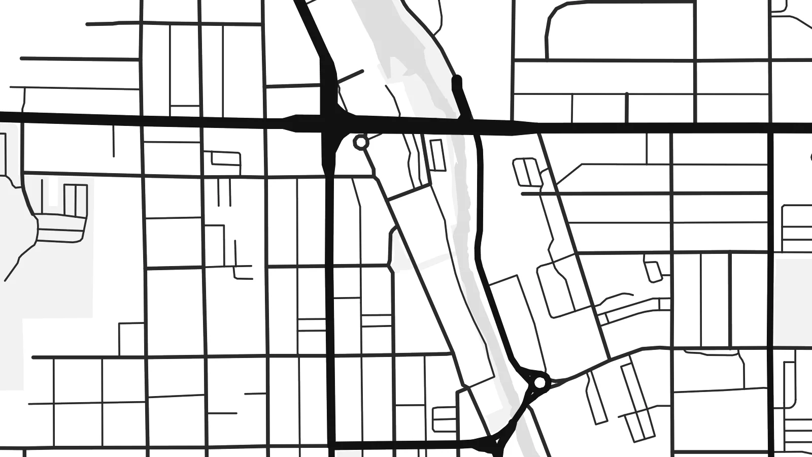 Piksèl reyèl · fichye enpresyon 24 × 36″
Byen klè pou enprime
Sa a se yon zoom 100% sou vrè fichye enpresyon an. Chak afich — enprime, ankadre oswa telechaje — jenere sou sèvè nou yo nan 300 DPI, jiska 7,200 × 10,800 piksèl, konsa menm pi piti wout yo rete klè sou yon enpresyon 24 × 36″.
Sou mi a


Kat la
West Bend is the county seat of Washington County, Wisconsin, about forty miles north of Milwaukee. The Milwaukee River winds through the city, and the bend it makes here gave the place its name. On a map, the river is the organising line: downtown streets sit close to its banks, and green corridors follow its course north and south through town.
Around the historic centre, the street pattern shifts from an older grid to curving postwar subdivisions and larger commercial roads. Small lakes and ponds dot the edges, and to the west the land rises into the rolling glacial terrain of the Kettle Moraine. A highway bypass forms a firm straight edge, framing the older town inside it.
West Bend is known for the West Bend Company, the cookware and appliance maker founded here in 1911, and for nearby Lizard Mound County Park, which preserves Native American effigy mounds. A West Bend map poster captures the river's curve, the grid beside it and the wooded, lake-dotted country around the city.
The Milwaukee River curves through the city centre, giving the map a clear flowing line that explains the name at a glance.
Green space follows the riverbanks for long stretches, leaving open bands through the street network that add rhythm to the print.
West of the city, glacial hills, kettle lakes and winding rural roads replace the grid, softening the edges of the composition.
Fè l pou ou
Ajoute yon dat, yon non oswa pwòp fraz pa w, chanje estil, gwosè oswa oryantasyon.
Apèsi gratis la se nan rezolisyon ba avèk yon watèrmak. Enpresyon ak fichye HD yo jenere nan 300 DPI, jiska 7,200 × 10,800 px, san watèrmak.
Poukisa West Bend
Whether you grew up along the Milwaukee River or bought a first house in one of West Bend's neighbourhoods, a map of the city marks something specific. It also makes a thoughtful housewarming or graduation gift.
Add a street name, a family name or a year to the title and subtitle, and choose Classic black & white, Noir, Paper, Blueprint or Sand. The $9 digital files include 18×24″ and 24×36″ for standard US frames.
Kòmande afich West Bend a| Gwosè enpresyon | Rezolisyon | Fichye |
|---|---|---|
| 30 × 40 cm11.8 × 15.7″ | 3,543 × 4,724 px | PNG · PDF |
| 29.7 × 42 cm (A3)11.7 × 16.5″ | 3,508 × 4,961 px | PNG · PDF |
| 42 × 59.4 cm (A2)16.5 × 23.4″ | 4,961 × 7,016 px | PNG · PDF |
| 45.7 × 61 cm18 × 24″ | 5,400 × 7,200 px | PNG · PDF |
| 50 × 70 cm19.7 × 27.6″ | 5,906 × 8,268 px | PNG · PDF |
| 61 × 91.4 cm24 × 36″ | 7,200 × 10,800 px | PNG · PDF |
Pou konpare, apèsi gratis la gen 900 px lajè, li gen filigràn epi li fèt pou ekran. Fichye HD yo gen jiska 8 fwa plis rezolisyon nan chak direksyon epi yo enprime pwòp nan gwosè postè konplè.
Chwazi yon style anlè paj la, epi chwazi Afich Enprime — yon gwosè epi, si w vle, yon kad — oswa Fichye Dijital HD. Peman an fèt nan yon sèl etap, epi paj kòmand ou a mete ajou kou peman an konfime.
Li enprime sou papye mat premium 200 gsm nan youn nan sis gwosè, soti nan 30 × 40 cm rive nan 24 × 36″. Afich enprime yo kòmanse nan $39, livrezon enkli.
Wi. Chwazi yon kad an bwa solid nan koulè nwa, blan, chenn natirèl oswa bwa fonse. Li vin ak yon vit ki pa kase epi li pare pou pandye. Afich ankadre yo kòmanse nan $99, livrezon enkli.
Livrezon gratis nan plis pase 60 peyi. Chak afich enprime pa patnè enprimeri ki pi pre w la nan plis pase 30 peyi, e anjeneral li rive nan 3 a 7 jou ouvrab. Ou ka suiv estati a ak swivi kolis la nan Kòmand mwen yo. Kèk peyi pran 2 a 5 semèn, e kote nou poko livre, sit la di w sa anvan w peye.
Voye nou yon foto nan 14 jou apre livrezon an epi nou ap reenprime li gratis oswa remèt ou lajan w.
Wi. Nan editè a sou paj sa a, chanje tit la, soutit la ak liy kowòdone yo pou nenpòt sa w vle, epi chwazi yon style ak yon gwosè. Kòmand enprime, ankadre ak dijital yo tout itilize egzakteman desen w lan.
Pou $9 ou jwenn fichye PNG 300 DPI ak PDF pare-pou-enprime nan tout sis gwosè yo, san watèrmak, pou enprime kote w vle. Pa sèten toujou? Telechaje yon apèsi gratis ak watèrmak anvan.
