Lovers' Road coast
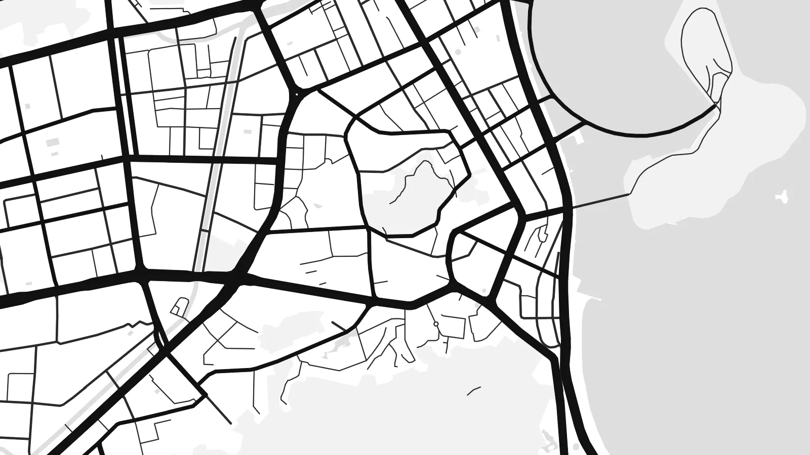
The seaside road along the Xiangzhou bays traces the city's eastern edge in a long, gentle curve, one of the most recognisable lines on the whole map.
Postè kat minimalis · China
22.2769° N / 113.5678° E
A coastal city of hills, bays and islands on the Pearl River Delta, linked to Macau and Hong Kong by sea.


Yon vil, senk atmosfè
Peze yon style pou wè li sou mi a. Chak style koute menm pri — enprime, ankadre oswa kòm fichye HD.
 Piksèl reyèl · fichye enpresyon 24 × 36″
Byen klè pou enprime
Sa a se yon zoom 100% sou vrè fichye enpresyon an. Chak afich — enprime, ankadre oswa telechaje — jenere sou sèvè nou yo nan 300 DPI, jiska 7,200 × 10,800 piksèl, konsa menm pi piti wout yo rete klè sou yon enpresyon 24 × 36″.
Sou mi a


Kat la
Zhuhai sits on the western side of the Pearl River Delta in Guangdong, where the mainland breaks into headlands, inlets and a scatter of offshore islands. It was one of China's first Special Economic Zones, created in 1980, and it shares a land border with Macau. On a map the city never settles into a single centre; it strings itself along the coast between green hills.
The shoreline does most of the drawing. A long seaside road curves around the bays of Xiangzhou, with the sea on one side and wooded slopes on the other, and districts spread inland wherever the valleys open up. To the south, Hengqin Island faces Macau across a narrow channel, its newer street grid laid out in broad, regular blocks.
Out in the water, the Hong Kong–Zhuhai–Macao Bridge, opened in 2018, runs across the estuary as a single thin line of bridges and tunnels. A Zhuhai map poster brings together that engineering, the fragmented coastline and the hills behind it, and the islands of the outer delta give the lower part of the sheet an unusual lightness.
The seaside road along the Xiangzhou bays traces the city's eastern edge in a long, gentle curve, one of the most recognisable lines on the whole map.
Facing Macau across a narrow waterway, Hengqin combines hills with a grid of wide, newer avenues, a clear contrast to the more organic streets of the older districts.
The Hong Kong–Zhuhai–Macao Bridge leaves the coast as a fine line heading east across open water, one of the longest sea crossings in the world.
Fè l pou ou
Ajoute yon dat, yon non oswa pwòp fraz pa w, chanje estil, gwosè oswa oryantasyon.
Apèsi gratis la se nan rezolisyon ba avèk yon watèrmak. Enpresyon ak fichye HD yo jenere nan 300 DPI, jiska 7,200 × 10,800 px, san watèrmak.
Poukisa Zhuhai
Zhuhai appeals to people who value sea, space and greenery in a city, and to anyone whose life moves between Zhuhai, Macau and Hong Kong. The coastline makes for a composition that feels open rather than dense, which suits calm living rooms and bedrooms.
Personalise the title and subtitle with a name or date, adjust the coordinates line, and pick from Classic black & white, Noir, Paper, Blueprint and Sand. A free 900 px watermarked preview lets you check the framing before buying the $9 HD files or a printed poster.
Kòmande afich Zhuhai a| Gwosè enpresyon | Rezolisyon | Fichye |
|---|---|---|
| 30 × 40 cm11.8 × 15.7″ | 3,543 × 4,724 px | PNG · PDF |
| 29.7 × 42 cm (A3)11.7 × 16.5″ | 3,508 × 4,961 px | PNG · PDF |
| 42 × 59.4 cm (A2)16.5 × 23.4″ | 4,961 × 7,016 px | PNG · PDF |
| 45.7 × 61 cm18 × 24″ | 5,400 × 7,200 px | PNG · PDF |
| 50 × 70 cm19.7 × 27.6″ | 5,906 × 8,268 px | PNG · PDF |
| 61 × 91.4 cm24 × 36″ | 7,200 × 10,800 px | PNG · PDF |
Pou konpare, apèsi gratis la gen 900 px lajè, li gen filigràn epi li fèt pou ekran. Fichye HD yo gen jiska 8 fwa plis rezolisyon nan chak direksyon epi yo enprime pwòp nan gwosè postè konplè.
Chwazi yon style anlè paj la, epi chwazi Afich Enprime — yon gwosè epi, si w vle, yon kad — oswa Fichye Dijital HD. Peman an fèt nan yon sèl etap, epi paj kòmand ou a mete ajou kou peman an konfime.
Li enprime sou papye mat premium 200 gsm nan youn nan sis gwosè, soti nan 30 × 40 cm rive nan 24 × 36″. Afich enprime yo kòmanse nan $39, livrezon enkli.
Wi. Chwazi yon kad an bwa solid nan koulè nwa, blan, chenn natirèl oswa bwa fonse. Li vin ak yon vit ki pa kase epi li pare pou pandye. Afich ankadre yo kòmanse nan $99, livrezon enkli.
Livrezon gratis nan plis pase 60 peyi. Chak afich enprime pa patnè enprimeri ki pi pre w la nan plis pase 30 peyi, e anjeneral li rive nan 3 a 7 jou ouvrab. Ou ka suiv estati a ak swivi kolis la nan Kòmand mwen yo. Kèk peyi pran 2 a 5 semèn, e kote nou poko livre, sit la di w sa anvan w peye.
Voye nou yon foto nan 14 jou apre livrezon an epi nou ap reenprime li gratis oswa remèt ou lajan w.
Wi. Nan editè a sou paj sa a, chanje tit la, soutit la ak liy kowòdone yo pou nenpòt sa w vle, epi chwazi yon style ak yon gwosè. Kòmand enprime, ankadre ak dijital yo tout itilize egzakteman desen w lan.
Pou $9 ou jwenn fichye PNG 300 DPI ak PDF pare-pou-enprime nan tout sis gwosè yo, san watèrmak, pou enprime kote w vle. Pa sèten toujou? Telechaje yon apèsi gratis ak watèrmak anvan.
