Māngere Mountain
A volcanic cone rises above the suburb with its crater still visible. On the map it forms a round open space ringed by streets.
ミニマルなマップポスター · ニュージーランド
36.9681° S / 174.7988° E
A South Auckland suburb between volcanic cones and the tidal Manukau Harbour, with the airport runway stretching along its shore.

ひとつの街、5つの表情
スタイルをタップすると、壁に飾ったイメージを確認できます。どのスタイルも料金は同じです — プリント、フレーム付き、HDファイルのいずれでも。
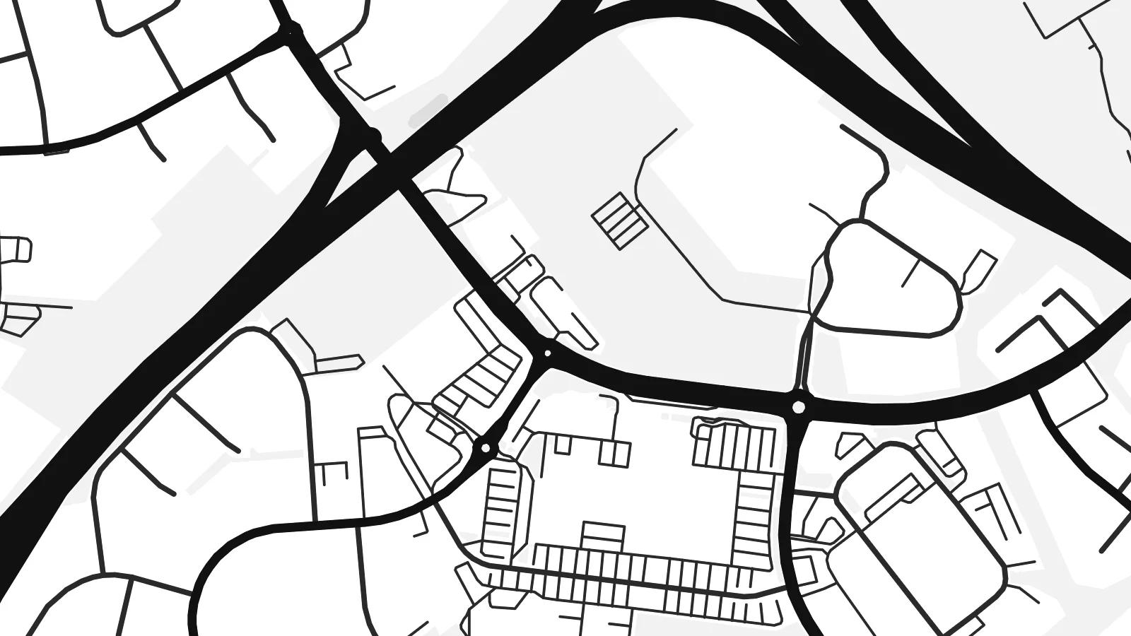 実寸ピクセル・24 × 36″ 印刷ファイル
印刷でもくっきり
これは実際の印刷ファイルを100%の解像度で切り出したものです。プリント、フレーム付き、ダウンロードのいずれのポスターも、サーバー上で300 DPI・最大7,200 × 10,800ピクセルでレンダリングされるため、24 × 36″の印刷でも細かい道まで鮮明です。
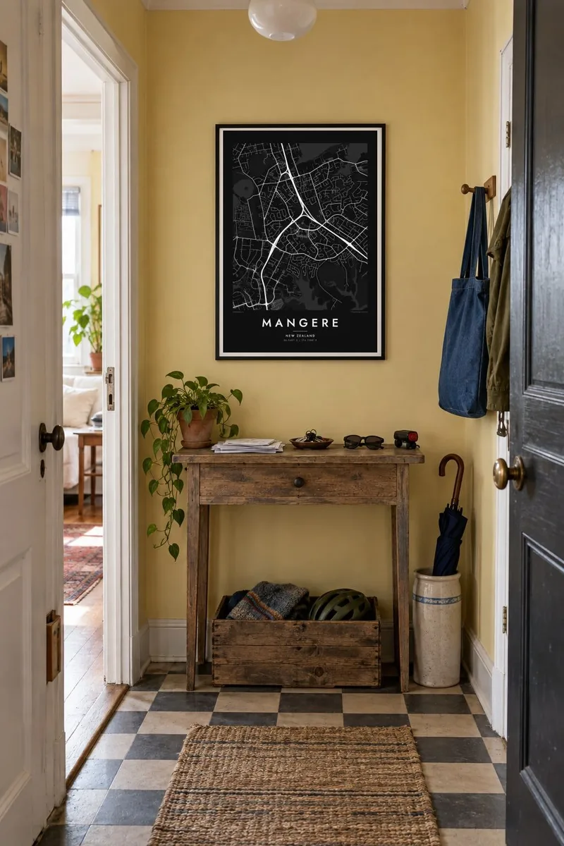
部屋に飾ると


この地図について
Māngere lies in South Auckland on the northeastern shore of the Manukau Harbour. It is one of the most distinctive areas of the city to see from above. The coastline is full of tidal inlets and mudflats, and several volcanic cones rise from the suburban streets, part of the Auckland volcanic field. The largest, Māngere Mountain, keeps its crater shape and appears on the map as a round patch of open ground.
To the south stretches Auckland Airport, whose long runway runs parallel to the harbour on low, flat land. It is one of the strongest straight lines anywhere in the region. A Mangere map poster sets that engineered geometry against the curving residential streets and the irregular coastline, a contrast that makes the composition striking.
To the north, Māngere Bridge crosses the harbour inlet toward Onehunga. Along the shore, Ambury Regional Park and the stonefields near Ihumātao preserve open land with long Māori and early farming history. Today Māngere is known for its large Pasifika and Māori communities, and its streets, parks and marae carry that identity.
A volcanic cone rises above the suburb with its crater still visible. On the map it forms a round open space ringed by streets.
The long runway of Auckland Airport runs beside the Manukau Harbour, a single precise line that dominates the southern part of the poster.
Tidal inlets, mudflats and coastal parks such as Ambury shape an indented edge where the suburb meets the harbour, giving the map a complex outline.
自分だけの一枚に
日付や名前、好きな言葉を入れたり、スタイル・サイズ・向きを変えたりできます。
無料プレビューは低解像度で透かし入りです。プリントとHDファイルは300 DPI・最大7,200 × 10,800pxでレンダリングされ、透かしはありません。
Mangereを選ぶ理由
Māngere is where many families landed in New Zealand and built their lives. A map of it holds the streets, the mountain and the harbour, and makes a meaningful gift for anyone whose story runs through South Auckland.
Write a title, add a subtitle such as a family name or a year, and keep the coordinates, then pick Classic black & white, Noir, Paper, Blueprint or Sand. HD files are $9, and printed posters on matte paper can come with an optional wooden frame.
Mangereのポスターを注文する| 印刷サイズ | 解像度 | ファイル |
|---|---|---|
| 30 × 40 cm11.8 × 15.7″ | 3,543 × 4,724 px | PNG · PDF |
| 29.7 × 42 cm (A3)11.7 × 16.5″ | 3,508 × 4,961 px | PNG · PDF |
| 42 × 59.4 cm (A2)16.5 × 23.4″ | 4,961 × 7,016 px | PNG · PDF |
| 45.7 × 61 cm18 × 24″ | 5,400 × 7,200 px | PNG · PDF |
| 50 × 70 cm19.7 × 27.6″ | 5,906 × 8,268 px | PNG · PDF |
| 61 × 91.4 cm24 × 36″ | 7,200 × 10,800 px | PNG · PDF |
比較すると、無料プレビューは幅900 pxで透かし入り、画面表示用です。HDデータは縦横それぞれ最大8倍の解像度で、ポスターサイズでもきれいに印刷できます。
ページ上部でスタイルを選び、プリントポスター(サイズとお好みでフレーム)またはデジタルHDファイルをお選びください。お会計は1ステップで完了し、お支払いが確認され次第、注文ページが更新されます。
高級200gsmマット紙に印刷され、30 × 40cmから24 × 36″まで6種類のサイズからお選びいただけます。プリントポスターは送料込みで$39からとなります。
はい。ブラック、ホワイト、ナチュラルオーク、ダークウッドの無垢材フレームからお選びいただけます。割れにくい素材のガラスパネル付きで、届いたらすぐに飾れます。フレーム付きポスターは送料込みで$99からとなります。
60か国以上へ送料無料でお届けします。ポスターは、30か国以上にある提携プリントパートナーのうち最寄りの拠点で印刷され、通常は3〜7営業日で届きます。配送状況と追跡情報は「ご注文履歴」からご確認いただけます。一部の国では2〜5週間かかります。まだ配送に対応していない国の場合は、お支払い前にサイト上でお知らせします。
お届けから14日以内に写真をお送りいただければ、無料で再印刷または返金いたします。
はい。このページのエディターでタイトル、サブタイトル、座標の行をお好きに変更し、スタイルとサイズをお選びください。プリント、フレーム付き、デジタルのいずれの注文にも、そのままお客様のデザインが使用されます。
$9で、6種類全サイズの300 DPI PNGと印刷用PDFファイルを、透かしなしでお届けします。どこでも印刷可能です。迷っている場合は、まず無料の透かし入りプレビューをダウンロードしてお試しください。
