Chain of beaches
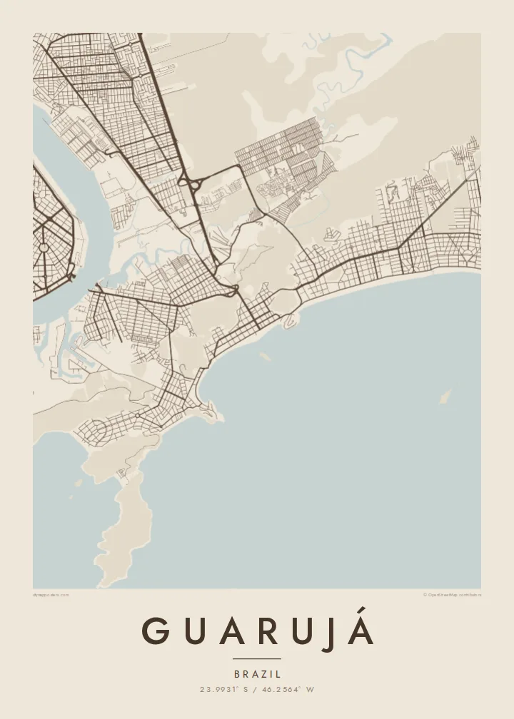
A sequence of wide sandy bays runs along the ocean shore, each separated by a rocky headland, giving the coastline a scalloped outline.
Tabula geographica minimalis · Brazil
23.9931° S / 46.2564° W
An island city of curving Atlantic beaches and rocky headlands, separated from the port of Santos by a narrow channel


Una urbs, quinque animi
Tange formam ut eam in pariete videas. Omnis forma eodem pretio constat — typis impressa, compagine inclusa, vel ut fasciculi HD.
 Pixelli veri · fasciculus impressionis 24 × 36″
Ad imprimendum acuta
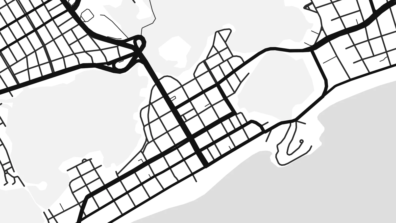
Haec est particula 100% fasciculi impressionis veri. Omnis tabula — typis impressa, compagine inclusa, vel demissa — in servis nostris ad 300 DPI conficitur, usque ad 7,200 × 10,800 pixellos, ut etiam angustissimae viae in impressione 24 × 36″ nitidae maneant.
In pariete


Tabula
Guarujá occupies Santo Amaro island on the coast of São Paulo state, across a narrow channel from the port city of Santos. From above the island is a mosaic of forested hills, rocky points and sandy bays, with the town concentrated on the flatter ground behind the beaches and along the channel side facing Santos.
The coastline is what defines the map. Beaches such as Pitangueiras, Enseada and Pernambuco curve between headlands, each forming a clean arc against the Atlantic, and apartment blocks line the seafront in dense strips. The nickname Pearl of the Atlantic reflects the town's long history as a weekend and summer retreat for people from São Paulo.
On the western side of the island, a ferry crossing links Guarujá with Santos, while mangroves and quiet channels mark the northern shore. A Guarujá map poster brings together those contrasting edges: the harbour channel, the wetlands and the chain of ocean beaches, all wrapped around the steep, forested hills at the island's centre.
A sequence of wide sandy bays runs along the ocean shore, each separated by a rocky headland, giving the coastline a scalloped outline.
The narrow waterway on the western side separates Guarujá from Santos, lined with port terminals and crossed by ferries rather than bridges.
Forested high ground rises between the beaches and the channel, leaving much of the island's interior free of streets and framing the town around it.
Tuam fac
Adde diem, nomen vel versum tuum; muta stilum, magnitudinem vel directionem.
Specimen gratuitum resolutionis humilis est cum nota aquatica. Impressiones et fasciculi HD ad 300 DPI conficiuntur, usque ad 7,200 × 10,800 px, sine nota aquatica.
Cur Guarujá
For many families in São Paulo, Guarujá is the beach of childhood holidays and long weekends. A map of the island captures that coastline in a way a photograph cannot, with every bay and headland visible at once.
Personalise the title with a beach name or a family surname, add a subtitle and a date, and adjust the coordinates line. Choose Sand or Paper for a coastal feel, and download the $9 HD files or order a printed matte poster.
Eme tabulam Guarujá| Magnitudo impressionis | Resolutio | Fasciculi |
|---|---|---|
| 30 × 40 cm11.8 × 15.7″ | 3,543 × 4,724 px | PNG · PDF |
| 29.7 × 42 cm (A3)11.7 × 16.5″ | 3,508 × 4,961 px | PNG · PDF |
| 42 × 59.4 cm (A2)16.5 × 23.4″ | 4,961 × 7,016 px | PNG · PDF |
| 45.7 × 61 cm18 × 24″ | 5,400 × 7,200 px | PNG · PDF |
| 50 × 70 cm19.7 × 27.6″ | 5,906 × 8,268 px | PNG · PDF |
| 61 × 91.4 cm24 × 36″ | 7,200 × 10,800 px | PNG · PDF |
Comparationis causa, specimen gratuitum 900 px latum est, signo aquatico notatum et ad spectandum in quadris lucidis destinatum. Fasciculi HD usque ad octiens maiorem resolutionem in utramque partem habent et tota tabulae magnitudine pure imprimuntur.
Elige formam in summa pagina, deinde selige Tabulam Typis Impressam — magnitudinem et, si vis, compagem — vel Fasciculos Digitales HD. Emptio uno gradu conficitur, et pagina emptionis tuae statim renovatur ubi primum solutio confecta est.
In charta opaca praestanti 200 gsm typis imprimitur, una ex sex magnitudinibus, a 30 × 40 cm usque ad 24 × 36″. Tabulae typis impressae incipiunt a $39, missione inclusa.
Ita. Elige compagem ex solido ligno, colore nigro, albo, quercu naturali vel ligno obscuro. Vitro infrangibili instructa venit et ad suspendendum parata est. Tabulae compagine inclusae incipiunt a $99, missione inclusa.
Missio gratuita est in plus quam 60 terras. Quodque poster ab proximo ex sociis nostris typographicis in plus quam 30 terris imprimitur et plerumque intra 3–7 dies negotiales advenit. Statum et vestigium sub «Mea mandata» sequi potes. Quaedam terrae 2–5 hebdomades requirunt, et ubi nondum mittimus, situs te ante solutionem monet.
Mitte nobis imaginem intra 14 dies post missionem acceptam, et eam gratis iterum imprimemus vel pecuniam tibi reddemus.
Ita. In instrumento huius paginae, titulum, subtitulum et lineam coordinatarum ad libitum muta, et formam ac magnitudinem elige. Emptiones typis impressae, compagine inclusae et digitales omnes exacte figuram tuam adhibent.
Pro $9 accipis fasciculos PNG 300 DPI et PDF ad imprimendum paratos in omnibus sex magnitudinibus, sine nota aquatica, ut ubique imprimere possis. Nondum certus es? Prius specimen gratuitum cum nota aquatica demitte.
