The two islands
Île de la Cité and Île Saint-Louis sit in the Seine at the heart of the map, with Notre-Dame at the eastern end of the larger island and bridges stitching both to either bank.
Tabula geographica minimalis · France
48.8534° N / 2.3488° E
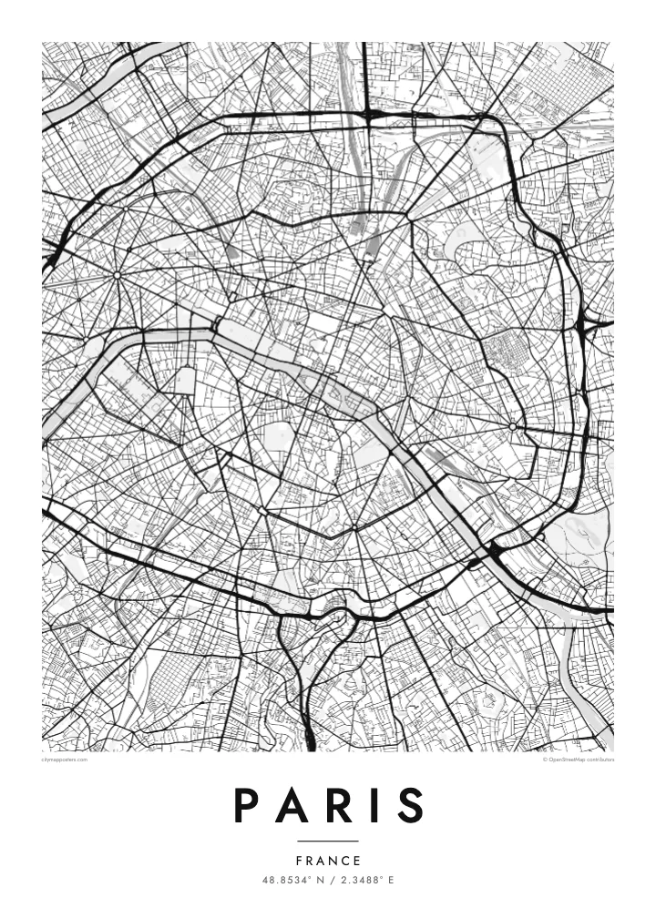
A city drawn in concentric rings around a curving river, its grand boulevards cutting straight lines through the older, tighter weave.

Una urbs, quinque animi
Tange formam ut eam in pariete videas. Omnis forma eodem pretio constat — typis impressa, compagine inclusa, vel ut fasciculi HD.
 Pixelli veri · fasciculus impressionis 24 × 36″
Ad imprimendum acuta
Haec est particula 100% fasciculi impressionis veri. Omnis tabula — typis impressa, compagine inclusa, vel demissa — in servis nostris ad 300 DPI conficitur, usque ad 7,200 × 10,800 pixellos, ut etiam angustissimae viae in impressione 24 × 36″ nitidae maneant.
In pariete


Tabula
From above, Paris is organised around a river that refuses to run straight. The Seine enters from the southeast, bends in a long arc and leaves to the southwest, with the Île de la Cité and the Île Saint-Louis anchored in the middle like two moored boats. Everything else seems to orbit that pair of islands, where the city began as a small settlement on the water.
The twenty arrondissements make the orbit literal. They are numbered in a clockwise spiral from the centre, curling outward like a snail shell until the sequence meets the Boulevard Périphérique, the ring road that marks the city limit with unusual precision. Inside that loop, a Paris map poster shows two textures at once: the dense, irregular lanes of the medieval core and the long diagonal cuts laid over them.
Those cuts are the work of Baron Haussmann, who remade the city for Napoleon III in the mid nineteenth century. His boulevards meet at star-shaped squares, most famously the Place Charles de Gaulle, where twelve avenues radiate from the Arc de Triomphe. At the edges, the Bois de Boulogne to the west and the Bois de Vincennes to the east sit like two large, pale lungs.
Île de la Cité and Île Saint-Louis sit in the Seine at the heart of the map, with Notre-Dame at the eastern end of the larger island and bridges stitching both to either bank.
Twelve avenues leave the Arc de Triomphe in every direction, producing the most recognisable star on any European street map and the clearest reading of Haussmann's plan for the city.
The ring road follows the line of the city's last fortifications, giving Paris a sharp, almost oval border that frames the poster and separates the city proper from its suburbs.
Tuam fac
Adde diem, nomen vel versum tuum; muta stilum, magnitudinem vel directionem.
Specimen gratuitum resolutionis humilis est cum nota aquatica. Impressiones et fasciculi HD ad 300 DPI conficiuntur, usque ad 7,200 × 10,800 px, sine nota aquatica.
Cur Paris
Paris is often the first city people fall for, and a street map holds that feeling without leaning on postcard images. It suits the flat above a café you still miss, the arrondissement where you studied for a year, or a weekend that turned into a proposal somewhere along the quais.
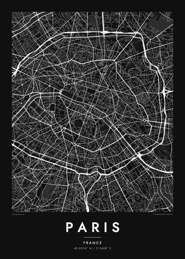
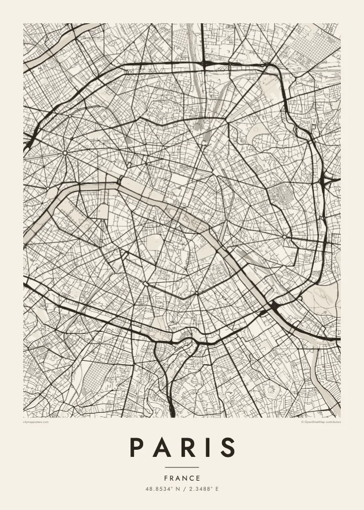
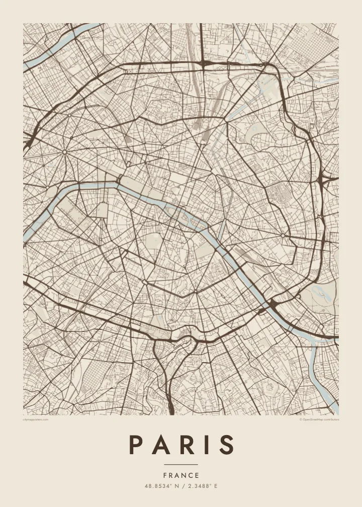
Add your own title and a date that matters, whether it marks a move, an anniversary or the year you left, then choose from five styles: Classic black & white, Noir, Paper, Blueprint or Sand. Each keeps the lines crisp, so the spiral of the arrondissements reads clearly from across the room.
Eme tabulam Paris| Magnitudo impressionis | Resolutio | Fasciculi |
|---|---|---|
| 30 × 40 cm (11.8 × 15.7″) | 3,543 × 4,724 px | PNG · PDF |
| 29.7 × 42 cm (A3, 11.7 × 16.5″) | 3,508 × 4,961 px | PNG · PDF |
| 42 × 59.4 cm (A2, 16.5 × 23.4″) | 4,961 × 7,016 px | PNG · PDF |
| 45.7 × 61 cm (18 × 24″) | 5,400 × 7,200 px | PNG · PDF |
| 50 × 70 cm (19.7 × 27.6″) | 5,906 × 8,268 px | PNG · PDF |
| 61 × 91.4 cm (24 × 36″) | 7,200 × 10,800 px | PNG · PDF |
Comparationis causa, specimen gratuitum 900 px latum est, signo aquatico notatum et ad spectandum in quadris lucidis destinatum. Fasciculi HD usque ad octiens maiorem resolutionem in utramque partem habent et tota tabulae magnitudine pure imprimuntur.
Elige formam in summa pagina, deinde selige Tabulam Typis Impressam — magnitudinem et, si vis, compagem — vel Fasciculos Digitales HD. Emptio uno gradu conficitur, et pagina emptionis tuae statim renovatur ubi primum solutio confecta est.
In charta opaca praestanti 200 gsm typis imprimitur, una ex sex magnitudinibus, a 30 × 40 cm usque ad 24 × 36″. Tabulae typis impressae incipiunt a $39, missione inclusa.
Ita. Elige compagem ex solido ligno, colore nigro, albo, quercu naturali vel ligno obscuro. Vitro infrangibili instructa venit et ad suspendendum parata est. Tabulae compagine inclusae incipiunt a $99, missione inclusa.
Missio ubique terrarum gratuita est. Quodque propositum a socio typographico nostro proximo, in plus quam 30 terris, imprimitur et plerumque intra 3–7 dies negotiales advenit. Condicionem et vestigium in sectione «Mea mandata» sequi potes. In paucis terris 2–5 hebdomades requiruntur, et ubi nondum mittimus, situs te ante solutionem monet.
Mitte nobis imaginem intra 14 dies post missionem acceptam, et eam gratis iterum imprimemus vel pecuniam tibi reddemus.
Ita. In instrumento huius paginae, titulum, subtitulum et lineam coordinatarum ad libitum muta, et formam ac magnitudinem elige. Emptiones typis impressae, compagine inclusae et digitales omnes exacte figuram tuam adhibent.
Pro $9 accipis fasciculos PNG 300 DPI et PDF ad imprimendum paratos in omnibus sex magnitudinibus, sine nota aquatica, ut ubique imprimere possis. Nondum certus es? Prius specimen gratuitum cum nota aquatica demitte.
In vicinia
