Ebro waterfront
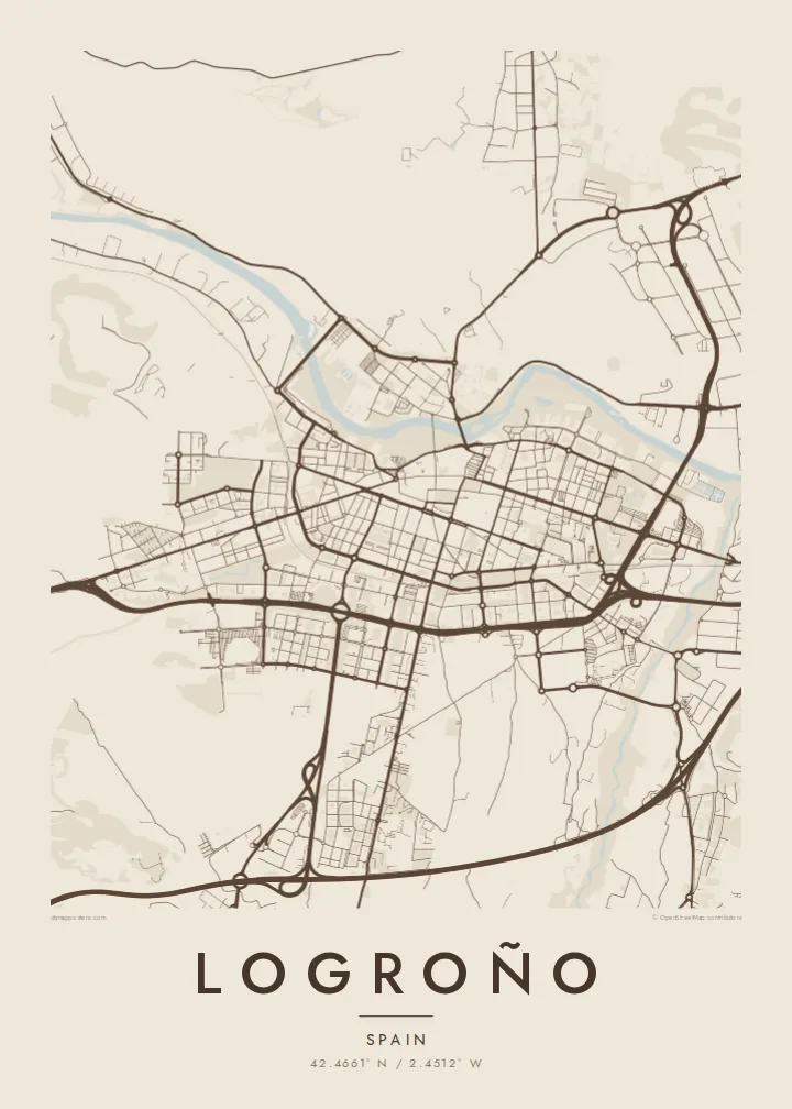
The river curves along the north of the city, bordered by long parks and riverside paths, giving the map a soft edge and a clear sense of orientation.
Tabula geographica minimalis · Spain
42.4661° N / 2.4512° W
A compact Rioja capital on the south bank of the Ebro, where the pilgrim route enters over an old stone bridge.


Una urbs, quinque animi
Tange formam ut eam in pariete videas. Omnis forma eodem pretio constat — typis impressa, compagine inclusa, vel ut fasciculi HD.
 Pixelli veri · fasciculus impressionis 24 × 36″
Ad imprimendum acuta
Haec est particula 100% fasciculi impressionis veri. Omnis tabula — typis impressa, compagine inclusa, vel demissa — in servis nostris ad 300 DPI conficitur, usque ad 7,200 × 10,800 pixellos, ut etiam angustissimae viae in impressione 24 × 36″ nitidae maneant.
In pariete

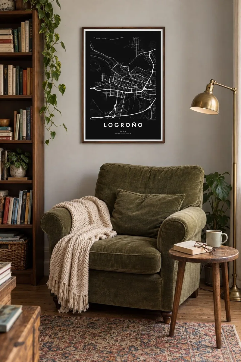

Tabula
Logroño spreads along the southern bank of the Ebro, with the river curving along its northern edge and parks lining much of the waterfront. From above, the old town forms a tight band close to the river, its streets running roughly parallel to the water. South of it, the later expansion follows a more regular grid, with wide avenues and larger blocks extending towards the ring roads.
Two historic crossings stand out on the map: the Puente de Piedra, the stone bridge used by pilgrims arriving on the Camino de Santiago from Navarre, and the Puente de Hierro, an iron bridge a short distance away. The Camino continues through the narrow streets of the old town before heading west, so the pilgrim route is written into the street plan itself.
Logroño is the capital of La Rioja and the centre of one of Spain's best-known wine regions. Calle Laurel and the lanes around it are famous for tapas bars packed close together. A Logroño map poster shows the city at a scale that feels walkable: the river, the bridges, the dense old quarter and the orderly blocks that grew beyond it.
The river curves along the north of the city, bordered by long parks and riverside paths, giving the map a soft edge and a clear sense of orientation.
The Puente de Piedra carries the Camino de Santiago into the city, a short straight stroke across the Ebro that marks the arrival of pilgrims walking in from Navarre.
Narrow streets run parallel to the river in the historic centre, including the tapas lanes around Calle Laurel, forming a fine-grained strip beside the more regular modern grid.
Tuam fac
Adde diem, nomen vel versum tuum; muta stilum, magnitudinem vel directionem.
Specimen gratuitum resolutionis humilis est cum nota aquatica. Impressiones et fasciculi HD ad 300 DPI conficiuntur, usque ad 7,200 × 10,800 px, sine nota aquatica.
Cur Logroño
Walkers who finished a stage of the Camino here, wine lovers who spent evenings on Calle Laurel, and people who grew up by the Ebro all have a reason to keep this city close. Its map is compact, balanced and easy to read.
Personalise the title, subtitle and coordinates line with a date, a stage of the walk or a name. Choose from Classic black & white, Noir, Paper, Blueprint or Sand; Paper has a warm, parchment feel that suits a pilgrimage keepsake.
Eme tabulam Logroño| Magnitudo impressionis | Resolutio | Fasciculi |
|---|---|---|
| 30 × 40 cm (11.8 × 15.7″) | 3,543 × 4,724 px | PNG · PDF |
| 29.7 × 42 cm (A3, 11.7 × 16.5″) | 3,508 × 4,961 px | PNG · PDF |
| 42 × 59.4 cm (A2, 16.5 × 23.4″) | 4,961 × 7,016 px | PNG · PDF |
| 45.7 × 61 cm (18 × 24″) | 5,400 × 7,200 px | PNG · PDF |
| 50 × 70 cm (19.7 × 27.6″) | 5,906 × 8,268 px | PNG · PDF |
| 61 × 91.4 cm (24 × 36″) | 7,200 × 10,800 px | PNG · PDF |
Comparationis causa, specimen gratuitum 900 px latum est, signo aquatico notatum et ad spectandum in quadris lucidis destinatum. Fasciculi HD usque ad octiens maiorem resolutionem in utramque partem habent et tota tabulae magnitudine pure imprimuntur.
Elige formam in summa pagina, deinde selige Tabulam Typis Impressam — magnitudinem et, si vis, compagem — vel Fasciculos Digitales HD. Emptio uno gradu conficitur, et pagina emptionis tuae statim renovatur ubi primum solutio confecta est.
In charta opaca praestanti 200 gsm typis imprimitur, una ex sex magnitudinibus, a 30 × 40 cm usque ad 24 × 36″. Tabulae typis impressae incipiunt a {printFrom}, missione inclusa.
Ita. Elige compagem ex solido ligno, colore nigro, albo, quercu naturali vel ligno obscuro. Vitro infrangibili instructa venit et ad suspendendum parata est. Tabulae compagine inclusae incipiunt a {framedFrom}, missione inclusa.
Missio ubique terrarum gratuita est. Quodque propositum a socio typographico nostro proximo, in plus quam 30 terris, imprimitur et plerumque intra 3–7 dies negotiales advenit. Condicionem et vestigium in sectione «Mea mandata» sequi potes. In paucis terris 2–5 hebdomades requiruntur, et ubi nondum mittimus, situs te ante solutionem monet.
Mitte nobis imaginem intra 14 dies post missionem acceptam, et eam gratis iterum imprimemus vel pecuniam tibi reddemus.
Ita. In instrumento huius paginae, titulum, subtitulum et lineam coordinatarum ad libitum muta, et formam ac magnitudinem elige. Emptiones typis impressae, compagine inclusae et digitales omnes exacte figuram tuam adhibent.
Pro $9 accipis fasciculos PNG 300 DPI et PDF ad imprimendum paratos in omnibus sex magnitudinibus, sine nota aquatica, ut ubique imprimere possis. Nondum certus es? Prius specimen gratuitum cum nota aquatica demitte.
