The upper Lualaba
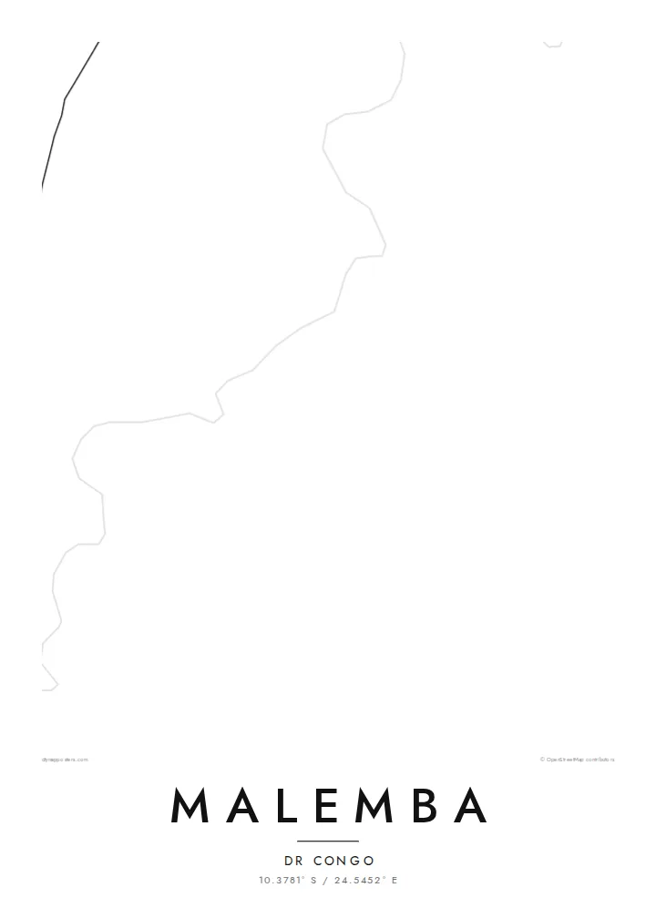
The river that later becomes the Congo passes the town as a broad, shifting line. It is the widest and most defining shape on the map and anchors the whole composition.
Tabula geographica minimalis · Congo - Kinshasa
10.3781° S / 24.5452° E
A river town drawn along the upper Lualaba, where channels, marsh and scattered lanes meet the open savanna.


Una urbs, quinque animi
Tange formam ut eam in pariete videas. Omnis forma eodem pretio constat — typis impressa, compagine inclusa, vel ut fasciculi HD.
 Pixelli veri · fasciculus impressionis 24 × 36″
Ad imprimendum acuta
Haec est particula 100% fasciculi impressionis veri. Omnis tabula — typis impressa, compagine inclusa, vel demissa — in servis nostris ad 300 DPI conficitur, usque ad 7,200 × 10,800 pixellos, ut etiam angustissimae viae in impressione 24 × 36″ nitidae maneant.
In pariete


Tabula
Malemba sits on the upper Lualaba, the long headstream of the Congo, in the south-east of the Democratic Republic of the Congo. From above, the river sets the scene. It is a wide ribbon edged by wetland, and the town's lanes run back from its bank toward drier ground. Few maps of central Africa show this much water and this little pavement in the same frame.
The surrounding country is low and flat. It belongs to a basin of lakes, swamps and seasonal floodplains, and protected land lies not far away. On a map this becomes a soft pattern of braided channels and pale open ground. The built area is a compact cluster of tracks and plots rather than a dense grid, so the river remains the strongest line on the sheet.
A Malemba map poster suits anyone who knows the place through the river: the landings, the water level after the rains, the distances measured in hours by boat rather than kilometres by road. Reduced to black lines on white, the town is modest and the water is generous. That balance is honest about how Malemba sits in its landscape.
The river that later becomes the Congo passes the town as a broad, shifting line. It is the widest and most defining shape on the map and anchors the whole composition.
Marsh and floodplain press close to the settlement. On the poster they read as fine, irregular edges where the land and the water never quite agree on a boundary.
Instead of a formal grid, the town is a loose web of tracks and lanes. The open spaces between them keep the design light and airy.
Tuam fac
Adde diem, nomen vel versum tuum; muta stilum, magnitudinem vel directionem.
Specimen gratuitum resolutionis humilis est cum nota aquatica. Impressiones et fasciculi HD ad 300 DPI conficiuntur, usque ad 7,200 × 10,800 px, sine nota aquatica.
Cur Malemba
People hang a map of Malemba to keep a river town close after moving away, or to mark years of work in the region. A title such as a family name or the year of a first journey turns the sheet into a record that belongs to one person.
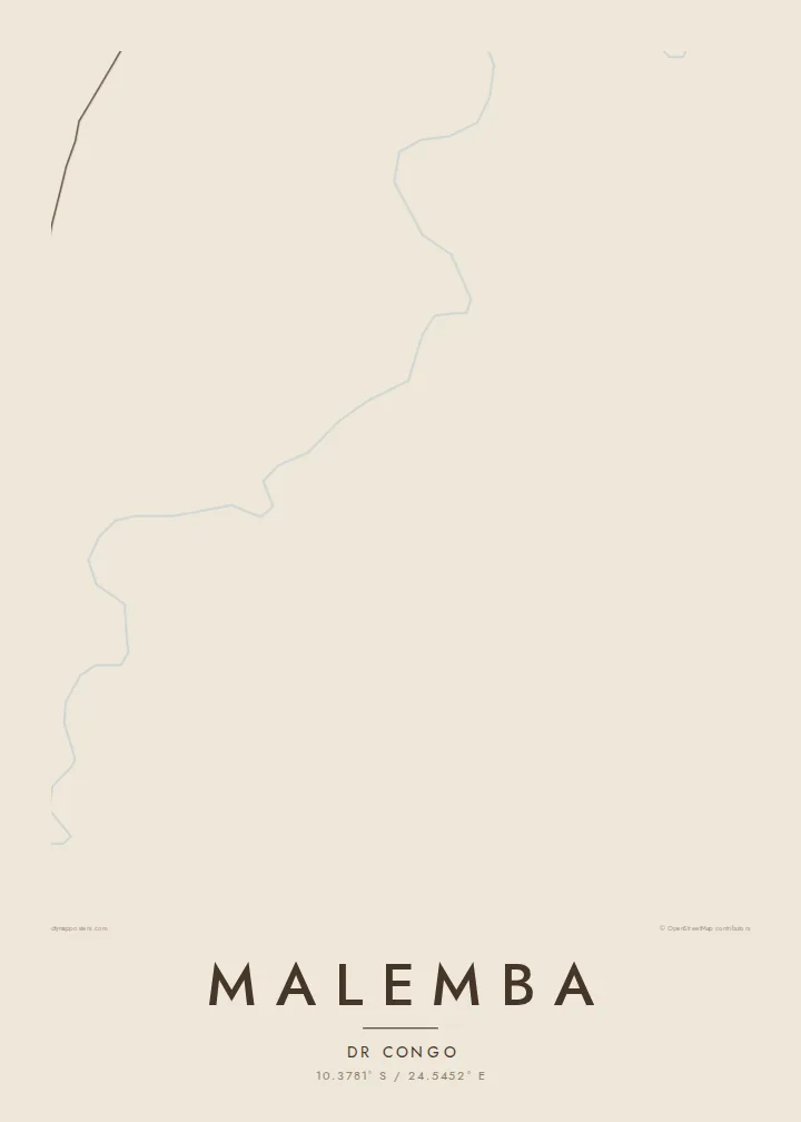
The layout comes in five styles: Classic black & white, Noir, Paper, Blueprint and Sand. Sand and Paper suit the warm tones of savanna country. The title, subtitle and coordinates line can all be edited before you download the HD file or order a print.
Eme tabulam Malemba| Magnitudo impressionis | Resolutio | Fasciculi |
|---|---|---|
| 30 × 40 cm (11.8 × 15.7″) | 3,543 × 4,724 px | PNG · PDF |
| 29.7 × 42 cm (A3, 11.7 × 16.5″) | 3,508 × 4,961 px | PNG · PDF |
| 42 × 59.4 cm (A2, 16.5 × 23.4″) | 4,961 × 7,016 px | PNG · PDF |
| 45.7 × 61 cm (18 × 24″) | 5,400 × 7,200 px | PNG · PDF |
| 50 × 70 cm (19.7 × 27.6″) | 5,906 × 8,268 px | PNG · PDF |
| 61 × 91.4 cm (24 × 36″) | 7,200 × 10,800 px | PNG · PDF |
Comparationis causa, specimen gratuitum 900 px latum est, signo aquatico notatum et ad spectandum in quadris lucidis destinatum. Fasciculi HD usque ad octiens maiorem resolutionem in utramque partem habent et tota tabulae magnitudine pure imprimuntur.
Elige formam in summa pagina, deinde selige Tabulam Typis Impressam — magnitudinem et, si vis, compagem — vel Fasciculos Digitales HD. Emptio uno gradu conficitur, et pagina emptionis tuae statim renovatur ubi primum solutio confecta est.
In charta opaca praestanti 200 gsm typis imprimitur, una ex sex magnitudinibus, a 30 × 40 cm usque ad 24 × 36″. Tabulae typis impressae incipiunt a {printFrom}, missione inclusa.
Ita. Elige compagem ex solido ligno, colore nigro, albo, quercu naturali vel ligno obscuro. Vitro infrangibili instructa venit et ad suspendendum parata est. Tabulae compagine inclusae incipiunt a {framedFrom}, missione inclusa.
Missio ubique terrarum gratuita est. Quodque propositum a socio typographico nostro proximo, in plus quam 30 terris, imprimitur et plerumque intra 3–7 dies negotiales advenit. Condicionem et vestigium in sectione «Mea mandata» sequi potes. In paucis terris 2–5 hebdomades requiruntur, et ubi nondum mittimus, situs te ante solutionem monet.
Mitte nobis imaginem intra 14 dies post missionem acceptam, et eam gratis iterum imprimemus vel pecuniam tibi reddemus.
Ita. In instrumento huius paginae, titulum, subtitulum et lineam coordinatarum ad libitum muta, et formam ac magnitudinem elige. Emptiones typis impressae, compagine inclusae et digitales omnes exacte figuram tuam adhibent.
Pro $9 accipis fasciculos PNG 300 DPI et PDF ad imprimendum paratos in omnibus sex magnitudinibus, sine nota aquatica, ut ubique imprimere possis. Nondum certus es? Prius specimen gratuitum cum nota aquatica demitte.
