Bridge to the mainland
A short road bridge crosses the narrow strait near Privlaka, a single clean line tying the island to Dalmatia and the natural anchor of any composition.
Tabula geographica minimalis · Croatia
44.3044° N / 15.0765° E
A low Adriatic island tied to the mainland by one short bridge, its edge scalloped by shallow coves.


Una urbs, quinque animi
Tange formam ut eam in pariete videas. Omnis forma eodem pretio constat — typis impressa, compagine inclusa, vel ut fasciculi HD.
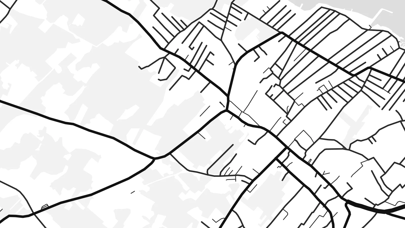 Pixelli veri · fasciculus impressionis 24 × 36″
Ad imprimendum acuta
Haec est particula 100% fasciculi impressionis veri. Omnis tabula — typis impressa, compagine inclusa, vel demissa — in servis nostris ad 300 DPI conficitur, usque ad 7,200 × 10,800 pixellos, ut etiam angustissimae viae in impressione 24 × 36″ nitidae maneant.
In pariete


Tabula
Vir lies in northern Dalmatia, a short drive north of Zadar, and is one of the few Croatian islands you can reach by car: a bridge crosses the narrow strait from the mainland near Privlaka. From above the island is low and fairly compact, with an indented coastline of shallow bays and small rocky points rather than steep cliffs.
Its map is shaped by summer life. Holiday houses spread across much of the island in a loose, fine-grained pattern of lanes, thickest around Vir village and along the shore, while the higher ground stays more open, with scrub and pasture. Small harbours and swimming coves punctuate the edge all the way round.
A Vir map poster captures a place that feels close to the mainland yet distinctly separate, with the bridge as the single thread joining the two. Around it the channel and the mainland shore frame the composition in open water, and the dense web of lanes gives the island a texture quite unlike its emptier neighbours.
A short road bridge crosses the narrow strait near Privlaka, a single clean line tying the island to Dalmatia and the natural anchor of any composition.
Holiday homes have filled much of the island with small streets and cul-de-sacs, drawn as a fine web that thins out toward the less built-up interior.
Low, rocky points alternate with shallow coves all around the island, giving the outline a soft, scalloped edge that reads beautifully in thin black line.
Tuam fac
Adde diem, nomen vel versum tuum; muta stilum, magnitudinem vel directionem.
Specimen gratuitum resolutionis humilis est cum nota aquatica. Impressiones et fasciculi HD ad 300 DPI conficiuntur, usque ad 7,200 × 10,800 px, sine nota aquatica.
Cur Vir
Vir is a place people return to summer after summer, often to a family house, so the map works as a record of those seasons. It suits anyone who knows the drive over the bridge and the first swim of the year.
Use a family name as the title, add the year you first came or the coordinates of the house, and pick Classic black & white, Noir, Paper, Blueprint or Sand. Sand and Paper echo the pale stone of the Dalmatian coast.
Eme tabulam Vir| Magnitudo impressionis | Resolutio | Fasciculi |
|---|---|---|
| 30 × 40 cm (11.8 × 15.7″) | 3,543 × 4,724 px | PNG · PDF |
| 29.7 × 42 cm (A3, 11.7 × 16.5″) | 3,508 × 4,961 px | PNG · PDF |
| 42 × 59.4 cm (A2, 16.5 × 23.4″) | 4,961 × 7,016 px | PNG · PDF |
| 45.7 × 61 cm (18 × 24″) | 5,400 × 7,200 px | PNG · PDF |
| 50 × 70 cm (19.7 × 27.6″) | 5,906 × 8,268 px | PNG · PDF |
| 61 × 91.4 cm (24 × 36″) | 7,200 × 10,800 px | PNG · PDF |
Comparationis causa, specimen gratuitum 900 px latum est, signo aquatico notatum et ad spectandum in quadris lucidis destinatum. Fasciculi HD usque ad octiens maiorem resolutionem in utramque partem habent et tota tabulae magnitudine pure imprimuntur.
Elige formam in summa pagina, deinde selige Tabulam Typis Impressam — magnitudinem et, si vis, compagem — vel Fasciculos Digitales HD. Emptio uno gradu conficitur, et pagina emptionis tuae statim renovatur ubi primum solutio confecta est.
In charta opaca praestanti 200 gsm typis imprimitur, una ex sex magnitudinibus, a 30 × 40 cm usque ad 24 × 36″. Tabulae typis impressae incipiunt a {printFrom}, missione inclusa.
Ita. Elige compagem ex solido ligno, colore nigro, albo, quercu naturali vel ligno obscuro. Vitro infrangibili instructa venit et ad suspendendum parata est. Tabulae compagine inclusae incipiunt a {framedFrom}, missione inclusa.
Missio ubique terrarum gratuita est. Quaeque tabula a proximo nostrorum sociorum impressionis in plus quam 30 nationibus imprimitur et plerumque intra 3–7 dies operis pervenit. Statum et vestigationem sub Emptionibus Meis sequi potes.
Mitte nobis imaginem intra 14 dies post missionem acceptam, et eam gratis iterum imprimemus vel pecuniam tibi reddemus.
Ita. In instrumento huius paginae, titulum, subtitulum et lineam coordinatarum ad libitum muta, et formam ac magnitudinem elige. Emptiones typis impressae, compagine inclusae et digitales omnes exacte figuram tuam adhibent.
Pro $9 accipis fasciculos PNG 300 DPI et PDF ad imprimendum paratos in omnibus sex magnitudinibus, sine nota aquatica, ut ubique imprimere possis. Nondum certus es? Prius specimen gratuitum cum nota aquatica demitte.
