Bridge to the mainland
A short road bridge crosses the narrow strait near Privlaka, a single clean line tying the island to Dalmatia and the natural anchor of any composition.
Minimalistesche Kaarteposter · Kroatien
44.3044° N / 15.0765° E
A low Adriatic island tied to the mainland by one short bridge, its edge scalloped by shallow coves.


Eng Stad, fënnef Stëmmungen
Tipp op e Stil fir en un der Wand ze gesinn. All Stil kascht d'selwecht — gedréckt, geframt oder als HD-Dateien.
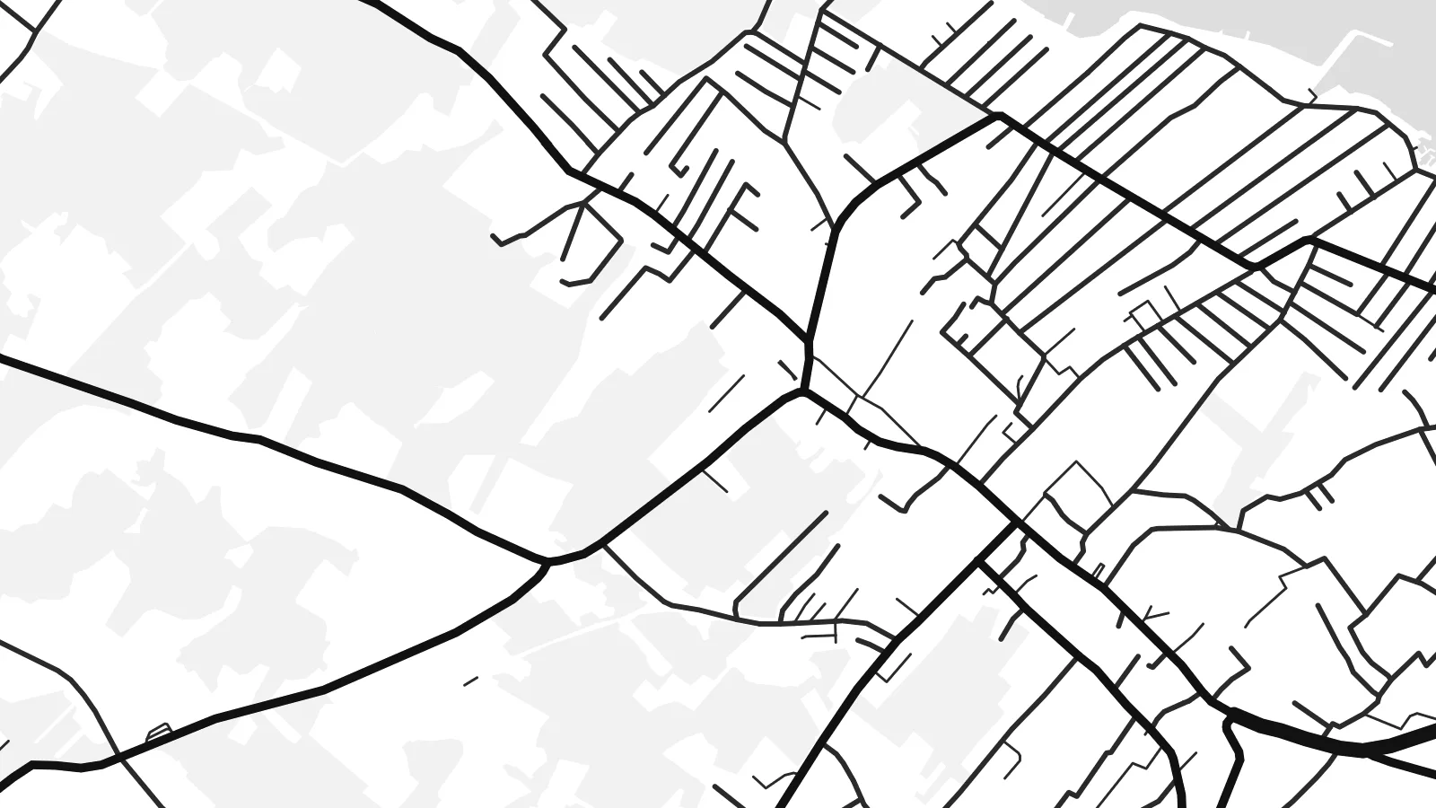 Richteg Pixel · 24 × 36″ Print-Datei
Gestach schaarf
Dëst ass en 100%-Ausschnitt vun der richteger Print-Datei. All Poster — gedréckt, geframt oder erofgeluede — gëtt op eise Serveren mat 300 DPI gerendert, bis zu 7,200 × 10,800 Pixel, sou datt och déi klengst Stroossen op engem 24 × 36″-Print scharf bleiwen.
un der Mauer


D'Kaart
Vir lies in northern Dalmatia, a short drive north of Zadar, and is one of the few Croatian islands you can reach by car: a bridge crosses the narrow strait from the mainland near Privlaka. From above the island is low and fairly compact, with an indented coastline of shallow bays and small rocky points rather than steep cliffs.
Its map is shaped by summer life. Holiday houses spread across much of the island in a loose, fine-grained pattern of lanes, thickest around Vir village and along the shore, while the higher ground stays more open, with scrub and pasture. Small harbours and swimming coves punctuate the edge all the way round.
A Vir map poster captures a place that feels close to the mainland yet distinctly separate, with the bridge as the single thread joining the two. Around it the channel and the mainland shore frame the composition in open water, and the dense web of lanes gives the island a texture quite unlike its emptier neighbours.
A short road bridge crosses the narrow strait near Privlaka, a single clean line tying the island to Dalmatia and the natural anchor of any composition.
Holiday homes have filled much of the island with small streets and cul-de-sacs, drawn as a fine web that thins out toward the less built-up interior.
Low, rocky points alternate with shallow coves all around the island, giving the outline a soft, scalloped edge that reads beautifully in thin black line.
Maacht en zu Ärem eegenen
Setzt en Datum, en Numm oder eng eegen Zeil derbäi, wiesselt Stil, Gréisst oder Orientéierung.
D'gratis Preview ass a niddereger Opléisung mat enger Waassermark. Prints an HD-Dateien gi mat 300 DPI gerendert, bis zu 7,200 × 10,800 px, ouni Waassermark.
Firwat Vir
Vir is a place people return to summer after summer, often to a family house, so the map works as a record of those seasons. It suits anyone who knows the drive over the bridge and the first swim of the year.
Use a family name as the title, add the year you first came or the coordinates of the house, and pick Classic black & white, Noir, Paper, Blueprint or Sand. Sand and Paper echo the pale stone of the Dalmatian coast.
Bestell den Vir-Poster| Drockgréisst | Opléisung | Dateien |
|---|---|---|
| 30 × 40 cm (11.8 × 15.7″) | 3,543 × 4,724 px | PNG · PDF |
| 29.7 × 42 cm (A3, 11.7 × 16.5″) | 3,508 × 4,961 px | PNG · PDF |
| 42 × 59.4 cm (A2, 16.5 × 23.4″) | 4,961 × 7,016 px | PNG · PDF |
| 45.7 × 61 cm (18 × 24″) | 5,400 × 7,200 px | PNG · PDF |
| 50 × 70 cm (19.7 × 27.6″) | 5,906 × 8,268 px | PNG · PDF |
| 61 × 91.4 cm (24 × 36″) | 7,200 × 10,800 px | PNG · PDF |
Zum Verglach: Déi gratis Virschau ass 900 px breet, huet e Waasserzeechen an ass fir de Bildschierm geduecht. D'HD-Dateien hunn a jiddwer Richtung bis zu 8× d'Opléisung a loossen sech och a voller Postergréisst propper drécken.
Wiel e Stil uewen op der Säit aus, duerno entscheed dech fir Gedréckte Poster — eng Gréisst a, wann s de wëlls, e Kader — oder Digital HD-Dateien. D'Keess ass an engem Schrëtt gemaach, an deng Bestellungssäit gëtt aktualiséiert soubal d'Bezuelung duerch ass.
Hie gëtt op héichwäertegt mattes 200-g/m²-Pabeier gedréckt, an enger vu sechs Gréissten, vun 30 × 40 cm bis 24 × 36″. Gedréckte Poster fänken bei {printFrom} un, Liwwerung inklusiv.
Jo. Wiel e Kader aus massivem Holz a schwaarz, wäiss, natierlecher Eech oder donkelem Holz. Hien huet eng bruchsécher Verglasung a ka sou opgehaange ginn. Geframte Poster fänken bei {framedFrom} un, Liwwerung inklusiv.
D'Liwwerung ass weltwäit gratis. All Poster gëtt vum nootste vun eise Print-Partner a méi wéi 30 Länner gedréckt an kënnt normalerweis a 3–7 Aarbechtsdeeg un. Du kanns de Status an d'Tracking ënner Meng Bestellungen verfollegen.
Schéck eis bannent 14 Deeg no der Liwwerung e Foto, a mir drécken en gratis nach eng Kéier oder erstatten dir de Präis.
Jo. Am Editor op dëser Säit kanns de den Titel, den Ënnertitel an d'Koordinatenzeil op alles änneren, wat s de wëlls, a e Stil an eng Gréisst auswielen. Gedréckt, geframt a digital Bestellungen benotzen alleguer genau däi Design.
Fir $9 kriss de 300 DPI PNG- an drockprett PDF-Dateien a all sechs Gréissten, ouni Waassermarken, fir iwwerall ze drécken. Nach net sécher? Lued fir d'éischt eng gratis Preview mat Waassermark erof.
An der Géigend
