The two islands
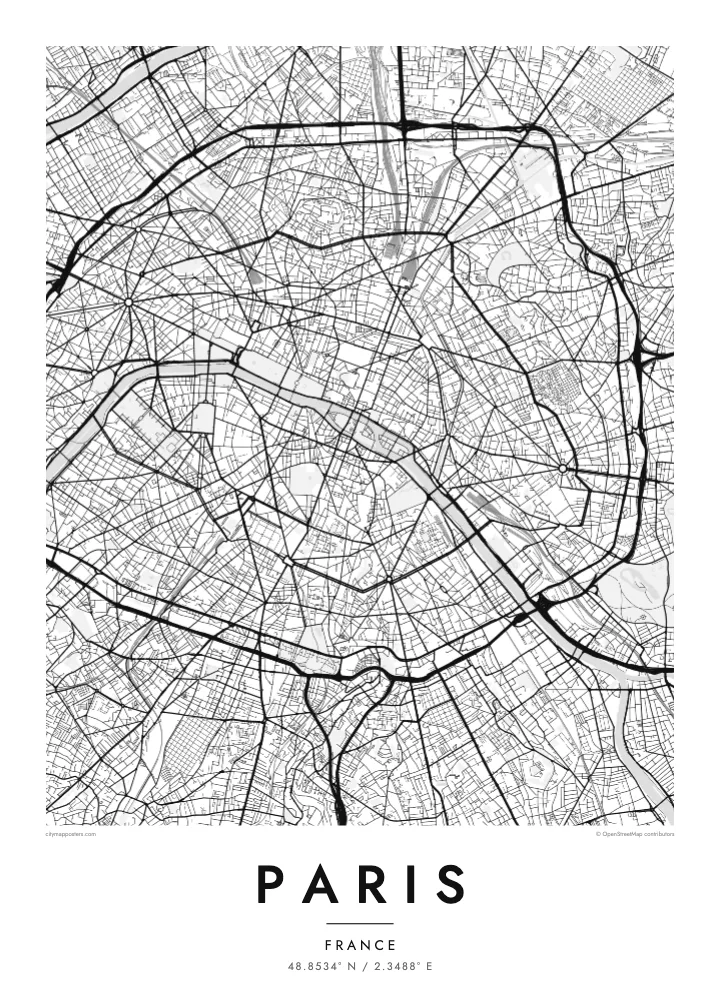
Île de la Cité and Île Saint-Louis sit in the Seine at the heart of the map, with Notre-Dame at the eastern end of the larger island and bridges stitching both to either bank.
Minimalistinis žemėlapio plakatas · Prancūzija
48.8534° N / 2.3488° E
A city drawn in concentric rings around a curving river, its grand boulevards cutting straight lines through the older, tighter weave.
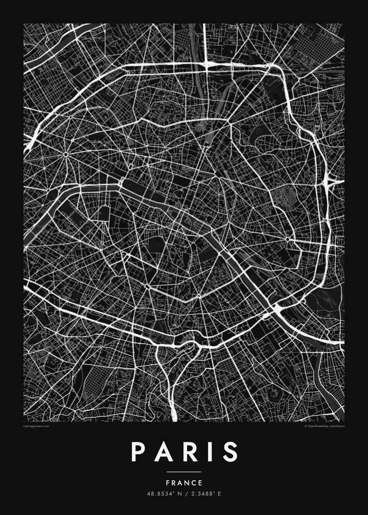
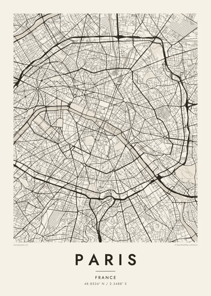

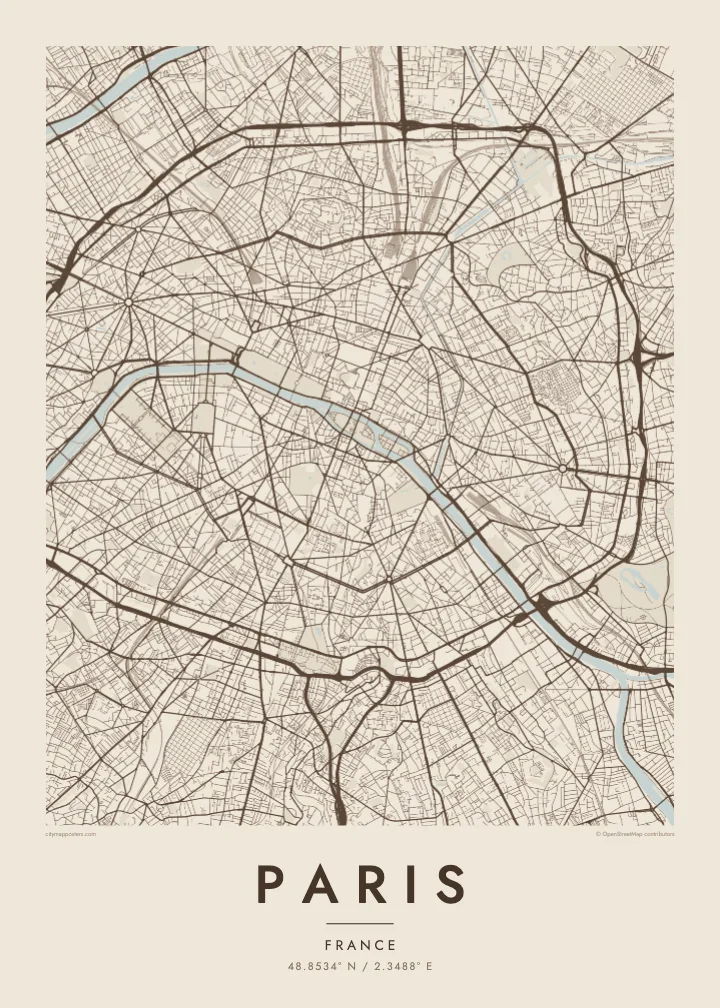
Vienas miestas, penkios nuotaikos
Palieskite stilių, kad pamatytumėte jį ant sienos. Visi stiliai kainuoja vienodai — spausdinti, įrėminti ar kaip HD failai.
 Tikri pikseliai · 24 × 36″ spaudinio failas
Ryškus spaudai
Tai 100% tikro spaudinio failo iškarpa. Kiekvienas plakatas — spausdintas, įrėmintas ar atsisiųstas — sukuriamas mūsų serveriuose 300 DPI raiška, iki 7,200 × 10,800 pikselių, todėl net mažiausios gatvelės išlieka ryškios 24 × 36″ spaudinyje.
Ant sienos


Žemėlapis
From above, Paris is organised around a river that refuses to run straight. The Seine enters from the southeast, bends in a long arc and leaves to the southwest, with the Île de la Cité and the Île Saint-Louis anchored in the middle like two moored boats. Everything else seems to orbit that pair of islands, where the city began as a small settlement on the water.
The twenty arrondissements make the orbit literal. They are numbered in a clockwise spiral from the centre, curling outward like a snail shell until the sequence meets the Boulevard Périphérique, the ring road that marks the city limit with unusual precision. Inside that loop, a Paris map poster shows two textures at once: the dense, irregular lanes of the medieval core and the long diagonal cuts laid over them.
Those cuts are the work of Baron Haussmann, who remade the city for Napoleon III in the mid nineteenth century. His boulevards meet at star-shaped squares, most famously the Place Charles de Gaulle, where twelve avenues radiate from the Arc de Triomphe. At the edges, the Bois de Boulogne to the west and the Bois de Vincennes to the east sit like two large, pale lungs.
Île de la Cité and Île Saint-Louis sit in the Seine at the heart of the map, with Notre-Dame at the eastern end of the larger island and bridges stitching both to either bank.
Twelve avenues leave the Arc de Triomphe in every direction, producing the most recognisable star on any European street map and the clearest reading of Haussmann's plan for the city.
The ring road follows the line of the city's last fortifications, giving Paris a sharp, almost oval border that frames the poster and separates the city proper from its suburbs.
Sukurkite savo
Pridėkite datą, vardą ar savo žodžius, keiskite stilių, dydį ar orientaciją.
Nemokama peržiūra yra mažos raiškos ir su vandens ženklu. Spaudiniai ir HD failai kuriami 300 DPI raiška, iki 7,200 × 10,800 px, be vandens ženklo.
Kodėl Paris
Paris is often the first city people fall for, and a street map holds that feeling without leaning on postcard images. It suits the flat above a café you still miss, the arrondissement where you studied for a year, or a weekend that turned into a proposal somewhere along the quais.
Add your own title and a date that matters, whether it marks a move, an anniversary or the year you left, then choose from five styles: Classic black & white, Noir, Paper, Blueprint or Sand. Each keeps the lines crisp, so the spiral of the arrondissements reads clearly from across the room.
Užsisakyti Paris plakatą| Spaudinio dydis | Raiška | Failai |
|---|---|---|
| 30 × 40 cm (11.8 × 15.7″) | 3,543 × 4,724 px | PNG · PDF |
| 29.7 × 42 cm (A3, 11.7 × 16.5″) | 3,508 × 4,961 px | PNG · PDF |
| 42 × 59.4 cm (A2, 16.5 × 23.4″) | 4,961 × 7,016 px | PNG · PDF |
| 45.7 × 61 cm (18 × 24″) | 5,400 × 7,200 px | PNG · PDF |
| 50 × 70 cm (19.7 × 27.6″) | 5,906 × 8,268 px | PNG · PDF |
| 61 × 91.4 cm (24 × 36″) | 7,200 × 10,800 px | PNG · PDF |
Palyginimui: nemokama peržiūra yra 900 px pločio, su vandens ženklu ir skirta ekranams. HD failų raiška kiekviena kryptimi iki 8 kartų didesnė, todėl jie puikiai spausdinami viso plakato dydžiu.
Pasirinkite stilių puslapio viršuje, tada pasirinkite Spausdintą plakatą — dydį ir, jei norite, rėmelį — arba Skaitmeninius HD failus. Užsakymas atliekamas vienu žingsniu, o jūsų užsakymo puslapis atsinaujina iš karto, kai tik įvyksta apmokėjimas.
Jis spausdinamas ant aukščiausios kokybės 200 g/m² matinio popieriaus vienu iš šešių dydžių, nuo 30 × 40 cm iki 24 × 36″. Spausdintų plakatų kaina prasideda nuo {printFrom}, pristatymas įskaičiuotas.
Taip. Pasirinkite masyvaus medžio rėmelį juodos, baltos, natūralaus ąžuolo ar tamsaus medžio spalvos. Jis komplektuojamas su atspariu dūžiams stiklu ir paruoštas kabinti iš karto. Įrėmintų plakatų kaina prasideda nuo {framedFrom}, pristatymas įskaičiuotas.
Pristatymas visame pasaulyje nemokamas. Kiekvieną plakatą atspausdina arčiausiai jūsų esantis spaustuvės partneris iš daugiau nei 30 šalių, o atkeliauja paprastai per 3–7 darbo dienas. Būseną ir siuntos sekimą rasite skiltyje „Mano užsakymai“. Kai kuriose šalyse pristatymas trunka 2–5 savaites, o jei dar nesiunčiame į jūsų šalį, svetainė apie tai praneš prieš apmokant.
Atsiųskite mums nuotrauką per 14 dienų nuo pristatymo, ir mes nemokamai perspausdinsime plakatą arba grąžinsime pinigus.
Taip. Šio puslapio redaktoriuje pakeiskite pavadinimą, paantraštę ir koordinačių eilutę pagal savo norą bei pasirinkite stilių ir dydį. Spausdinti, įrėminti ir skaitmeniniai užsakymai naudos būtent jūsų sukurtą dizainą.
Už $9 gaunate 300 DPI PNG ir spaudai paruoštus PDF failus visais šešiais dydžiais, be vandens ženklo, kad galėtumėte spausdinti bet kur. Dar neapsisprendėte? Pirmiausia atsisiųskite nemokamą peržiūrą su vandens ženklu.
Netoliese
