The Kame
A towering cliff on the west coast, among the highest in Britain, where the land drops almost vertically to the sea. On the map the contour lines crowd together sharply.
Poster peta minimalis · United Kingdom
60.1338° N / 2.0779° W
A small, high Shetland island rising to great western cliffs, with its few crofts spread along the eastern side.

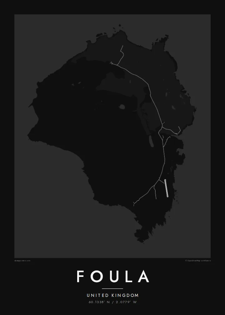


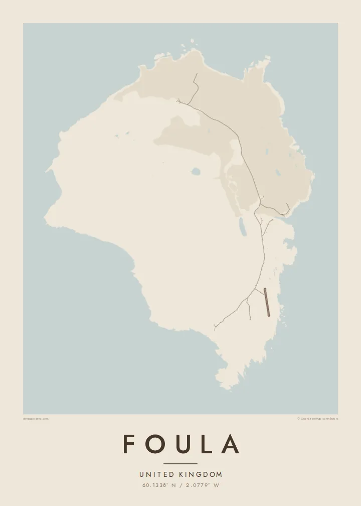
Satu bandar, lima suasana
Ketik gaya untuk melihatnya di dinding. Setiap gaya harganya sama — dicetak, dibingkai atau sebagai fail HD.
 Piksel sebenar · fail cetakan 24 × 36″
Tajam untuk cetakan
Ini ialah potongan 100% daripada fail cetakan sebenar. Setiap poster — dicetak, dibingkai atau dimuat turun — dijana di pelayan kami pada 300 DPI, sehingga 7,200 × 10,800 piksel, jadi lorong sekecil mana pun kekal tajam pada cetakan 24 × 36″.
Di dinding


Peta
Foula lies well west of mainland Shetland and is one of the most remote inhabited islands in Britain. On a map it is a compact, rounded block of land, but the relief tells the real story. High hills rise steeply toward the west and end in sheer sea cliffs. The eastern side slopes gently down to the shore, where the crofts and the small harbour are.
The Kame, on the west coast, is among the highest sea cliffs in the United Kingdom. The hills and moorland hold large seabird colonies, including great skuas. Foula also keeps an old custom: the community still follows the Julian calendar for its festive season and celebrates Christmas in early January.
Only a few dozen people live here, and the island is reached by a small ferry or light aircraft when the weather allows. A Foula map poster shows a place where human lines are few and faint. There is a single road along the east, and height, wind and the Atlantic shape almost everything else.
A towering cliff on the west coast, among the highest in Britain, where the land drops almost vertically to the sea. On the map the contour lines crowd together sharply.
The island's homes and fields are spread along the gentler east side. A single road links them and makes up nearly all of the map's human detail.
Several steep hills fill the heart of the island. They give the map strong relief and a sense of height that is unusual for such a small place.
Jadikan milik anda
Tambah tarikh, nama atau ayat anda sendiri, tukar gaya, saiz atau orientasi.
Pratonton percuma beresolusi rendah dengan tanda air. Cetakan dan fail HD dijana pada 300 DPI, sehingga 7,200 × 10,800 px, tanpa tanda air.
Kenapa Foula
Foula draws people who love the far edges of the British Isles: birdwatchers, walkers and those with Shetland roots. Its high, lonely form gives the print real presence, even at the smallest size.
Personalise the title and subtitle with a name, a crossing date or a line of verse, keep the coordinates, and choose one of five styles. Order a matte poster, framed or unframed, or download the full set of HD files.
Tempah poster Foula| Saiz cetakan | Resolusi | Fail |
|---|---|---|
| 30 × 40 cm (11.8 × 15.7″) | 3,543 × 4,724 px | PNG · PDF |
| 29.7 × 42 cm (A3, 11.7 × 16.5″) | 3,508 × 4,961 px | PNG · PDF |
| 42 × 59.4 cm (A2, 16.5 × 23.4″) | 4,961 × 7,016 px | PNG · PDF |
| 45.7 × 61 cm (18 × 24″) | 5,400 × 7,200 px | PNG · PDF |
| 50 × 70 cm (19.7 × 27.6″) | 5,906 × 8,268 px | PNG · PDF |
| 61 × 91.4 cm (24 × 36″) | 7,200 × 10,800 px | PNG · PDF |
Sebagai perbandingan, pratonton percuma selebar 900 px, bertera air dan untuk skrin sahaja. Fail HD mempunyai resolusi sehingga 8× ganda pada setiap arah dan dicetak dengan kemas pada saiz poster penuh.
Pilih gaya di bahagian atas halaman, kemudian pilih Poster Cetakan — saiz dan, jika mahu, bingkai — atau Fail Digital HD. Pembayaran hanya satu langkah, dan halaman pesanan anda akan dikemas kini sebaik sahaja pembayaran selesai.
Ia dicetak pada kertas matte premium 200 gsm dalam salah satu daripada enam saiz, dari 30 × 40 cm hingga 24 × 36″. Poster cetakan bermula pada $39, penghantaran percuma.
Boleh. Pilih bingkai kayu pejal dalam warna hitam, putih, oak semula jadi atau kayu gelap. Ia dilengkapi kaca tahan pecah dan sedia untuk digantung. Poster berbingkai bermula pada $99, penghantaran percuma.
Penghantaran percuma ke seluruh dunia. Setiap poster dicetak oleh rakan cetakan kami yang terdekat di lebih 30 negara dan biasanya tiba dalam 3–7 hari bekerja. Anda boleh menjejak status dan pengesanan di bawah Pesanan Saya. Beberapa negara mengambil masa 2–5 minggu, dan jika kami belum menghantar ke sana, laman web akan memberitahu anda sebelum anda membayar.
Hantarkan kami gambar dalam masa 14 hari selepas penghantaran dan kami akan mencetak semula secara percuma atau memberikan bayaran balik.
Boleh. Dalam editor di halaman ini, ubah tajuk, subtajuk dan baris koordinat mengikut kehendak anda, kemudian pilih gaya dan saiz. Pesanan cetakan, berbingkai dan digital semuanya menggunakan reka bentuk anda dengan tepat.
Dengan harga $9, anda dapat fail PNG 300 DPI dan PDF sedia cetak dalam kesemua enam saiz, tanpa tanda air, untuk dicetak di mana-mana sahaja. Belum pasti? Muat turun pratonton percuma bertanda air dahulu.
Berdekatan
