Hillside old centre
The historic core sits on higher ground, with streets turning around the slope, a compact area that contrasts with the broader blocks further out.
Minimalistyczny plakat z mapą · Hiszpania
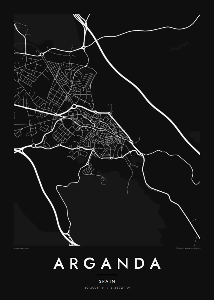
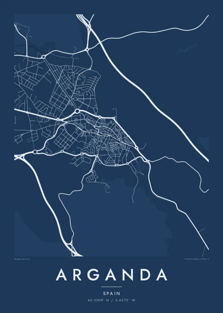
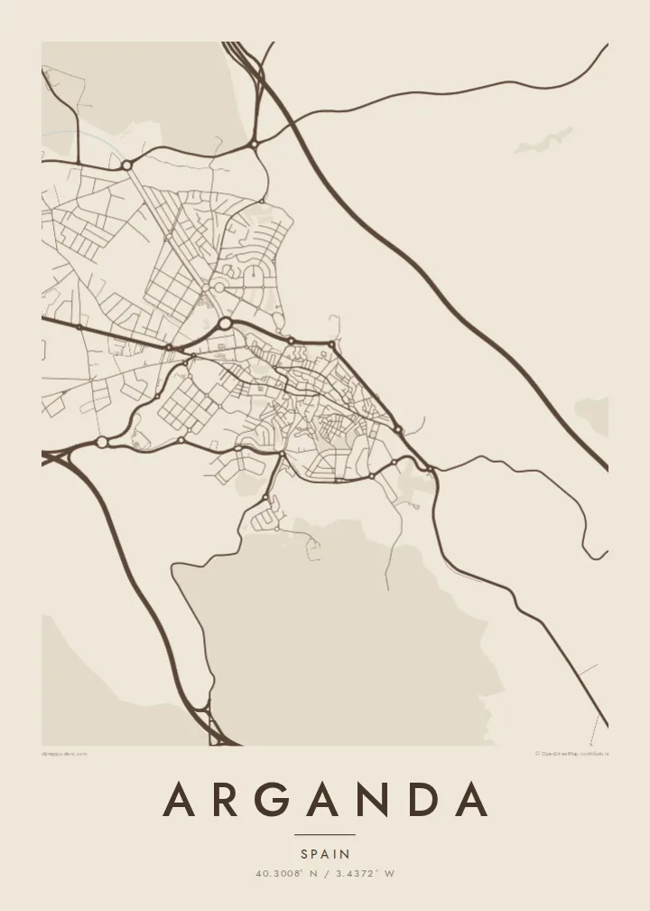
40.3008° N / 3.4372° W
A town in the Jarama valley southeast of Madrid, with an old centre on the slope and vineyards around it.


Jedno miasto, pięć nastrojów
Dotknij stylu, aby zobaczyć go na ścianie. Każdy styl kosztuje tyle samo — jako druk, w ramie lub pliki HD.
 Rzeczywiste piksele · plik do druku 24 × 36″
Ostrość do druku
To jest wycinek w skali 100% z prawdziwego pliku do druku. Każdy plakat — drukowany, oprawiony lub pobrany — jest renderowany na naszych serwerach w rozdzielczości 300 DPI, do 7,200 × 10,800 pikseli, dzięki czemu nawet najmniejsze ulice pozostają ostre na wydruku 24 × 36″.
Na ścianie


Mapa
Arganda del Rey lies southeast of Madrid, near the valley of the Jarama river and along the main road toward Valencia. From above, the town sits on rising ground above the river, with the historic centre compact on the hillside and newer residential and industrial districts spreading out across the flatter land toward the motorway.
The surroundings are agricultural, and the area is one of the wine-growing zones of the Vinos de Madrid designation. On a map the vineyards and fields show as open space broken by rural roads, while the river valley to the west forms a green corridor with its own looping course, bridges and gravel lakes.
The town is also linked to the history of the Tren de Arganda, a railway that once connected the area to Madrid and survives in part as a heritage line. An Arganda map poster shows how the older centre, the motorway and the Jarama valley meet in one frame.
The historic core sits on higher ground, with streets turning around the slope, a compact area that contrasts with the broader blocks further out.
The river runs to the west of the town through a wide valley of fields and water bodies, a softer, winding line along the map's edge.
The main highway toward Valencia passes the town, and much of the newer growth lines up along it, creating a clear axis of expansion.
Spersonalizuj
Dodaj datę, imię lub własny tekst, zmień styl, rozmiar lub orientację.
Darmowy podgląd ma niską rozdzielczość i znak wodny. Wydruki i pliki HD są renderowane w 300 DPI, do 7,200 × 10,800 px, bez znaku wodnego.
Dlaczego Arganda
Arganda is a natural choice for people who live in the southeast of the Madrid region or who have family ties there. The mix of old town, river valley and newer districts gives the map real variety.
You can personalise the title, subtitle and coordinates line, adding a date or the name of a street you lived on. Choose one of five styles and order a digital file or a printed poster with an optional frame.
Zamów plakat Arganda| Rozmiar wydruku | Rozdzielczość | Pliki |
|---|---|---|
| 30 × 40 cm (11.8 × 15.7″) | 3,543 × 4,724 px | PNG · PDF |
| 29.7 × 42 cm (A3, 11.7 × 16.5″) | 3,508 × 4,961 px | PNG · PDF |
| 42 × 59.4 cm (A2, 16.5 × 23.4″) | 4,961 × 7,016 px | PNG · PDF |
| 45.7 × 61 cm (18 × 24″) | 5,400 × 7,200 px | PNG · PDF |
| 50 × 70 cm (19.7 × 27.6″) | 5,906 × 8,268 px | PNG · PDF |
| 61 × 91.4 cm (24 × 36″) | 7,200 × 10,800 px | PNG · PDF |
Dla porównania: darmowy podgląd ma 900 px szerokości, znak wodny i jest przeznaczony na ekran. Pliki HD mają do 8× wyższą rozdzielczość w każdym kierunku i drukują się wyraźnie w pełnym rozmiarze plakatu.
Wybierz styl na górze strony, a następnie wybierz Plakat drukowany — rozmiar i opcjonalnie ramę — albo Pliki cyfrowe HD. Płatność zajmuje jeden krok, a strona zamówienia aktualizuje się od razu po jej zaksięgowaniu.
Jest drukowany na papierze matowym premium 200 g/m² w jednym z sześciu rozmiarów, od 30 × 40 cm do 24 × 36″. Drukowane plakaty zaczynają się od {printFrom}, z darmową wysyłką.
Tak. Wybierz ramę z litego drewna w kolorze czarnym, białym, naturalnego dębu lub ciemnego drewna. Zawiera nietłukące szkło i jest gotowa do powieszenia. Plakaty w ramach zaczynają się od {framedFrom}, z darmową wysyłką.
Wysyłka jest darmowa na całym świecie. Każdy plakat drukuje najbliższy z naszych partnerów drukarskich w ponad 30 krajach i zwykle dociera w 3–7 dni roboczych. Status i numer przesyłki znajdziesz w Moich zamówieniach.
Wyślij nam zdjęcie w ciągu 14 dni od dostawy, a bezpłatnie wydrukujemy go ponownie lub zwrócimy pieniądze.
Tak. W edytorze na tej stronie zmień tytuł, podtytuł i linię ze współrzędnymi na dowolne, po czym wybierz styl i rozmiar. Zamówienia drukowane, w ramie i cyfrowe zawsze odzwierciedlają dokładnie Twój projekt.
Za $9 otrzymujesz pliki PNG w 300 DPI oraz PDF gotowe do druku, we wszystkich sześciu rozmiarach, bez znaku wodnego, do wydruku w dowolnym miejscu. Nie masz pewności? Najpierw pobierz darmowy podgląd ze znakiem wodnym.
