Museum Island
At the northern end of an island in the Spree, a cluster of five museums forms a UNESCO World Heritage site, and on the map the river divides neatly to hold it.
Ipositeri y'ikarita yoroheje · DE
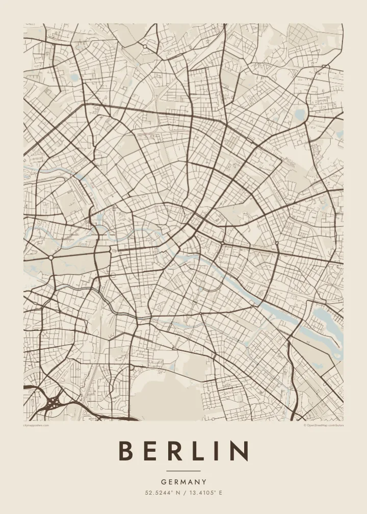
52.5244° N / 13.4105° E
A sprawling city of lakes and forests, threaded by the slow Spree, its centre held inside the circle of the Ringbahn.
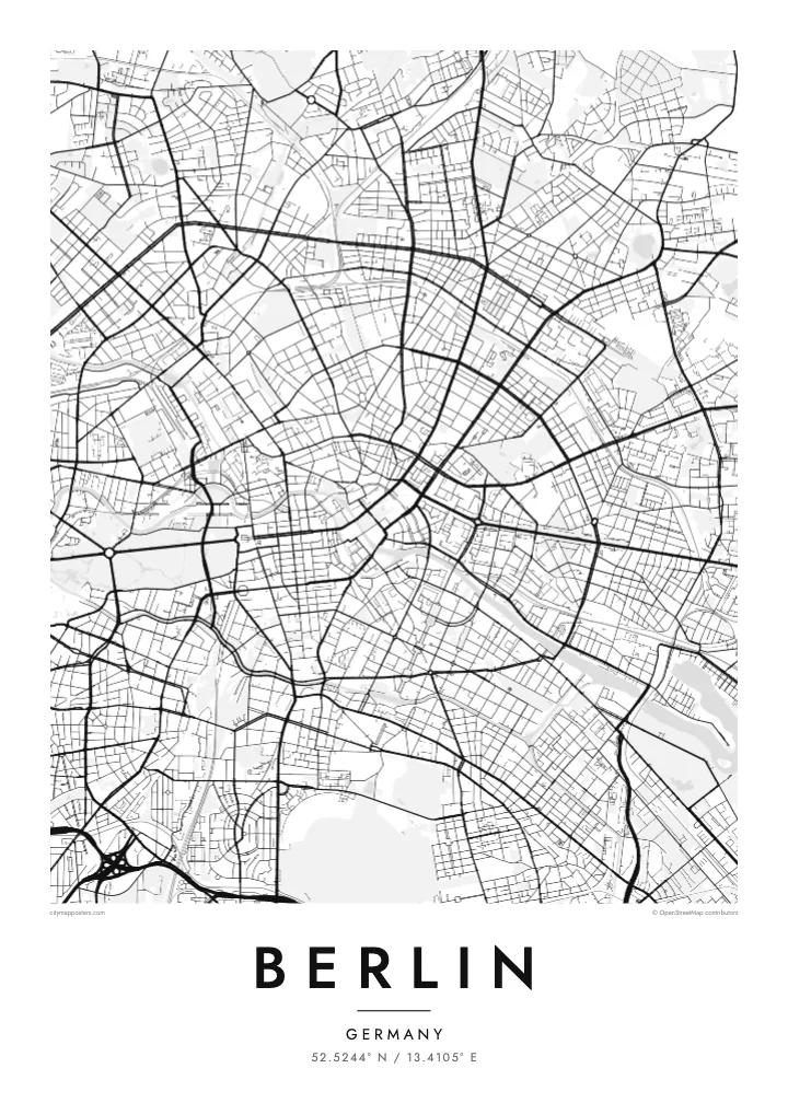
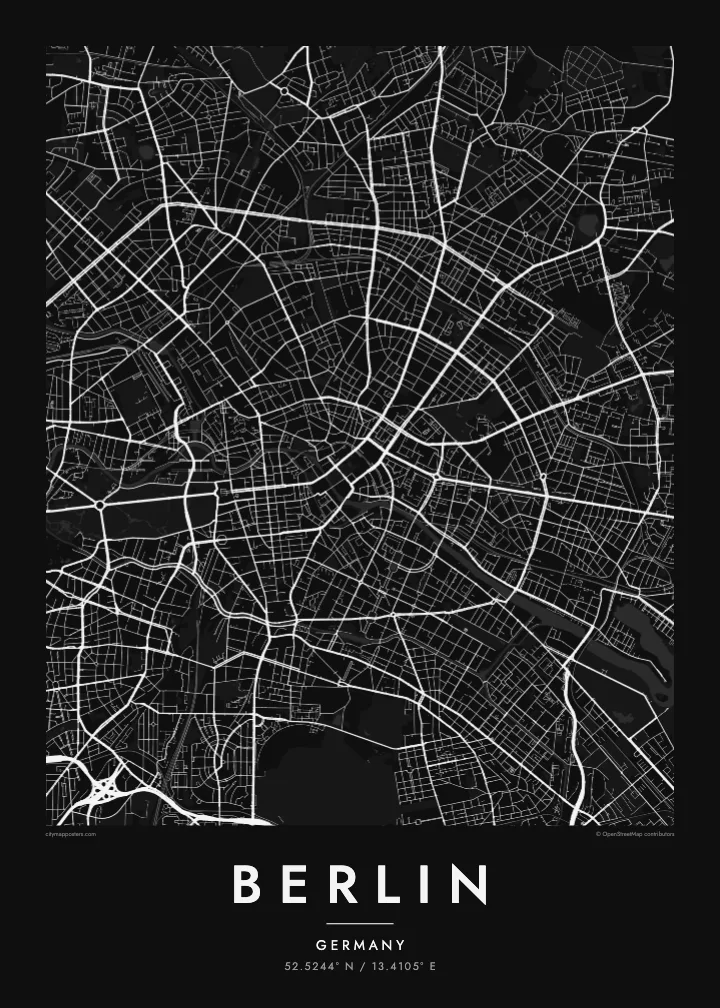
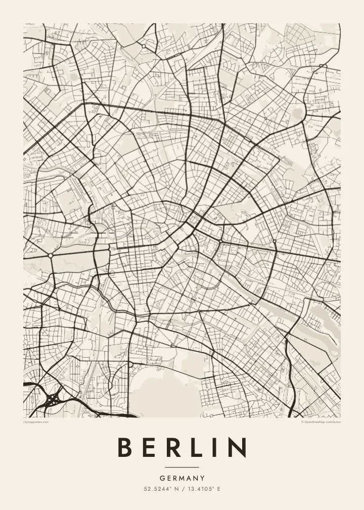
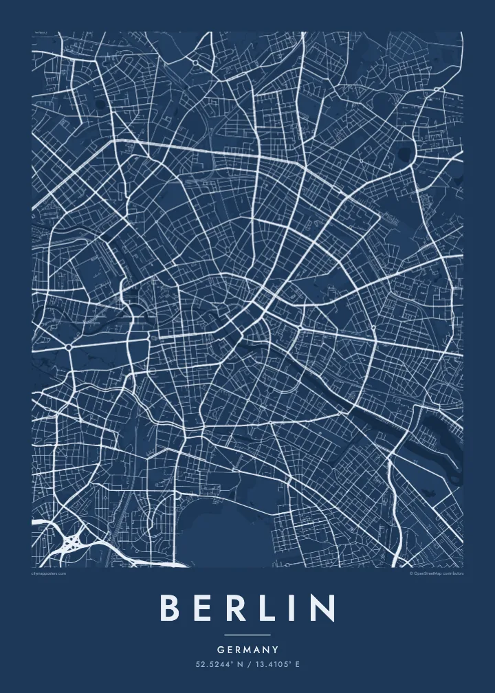
Umujyi umwe, imiterere itanu
Kanda uburyo bumwe kugira ngo ubibone ku rukuta. Buri buryo bufite igiciro kimwe — cyacapwe, gishyizwemo cadre cyangwa mu madosiye HD.
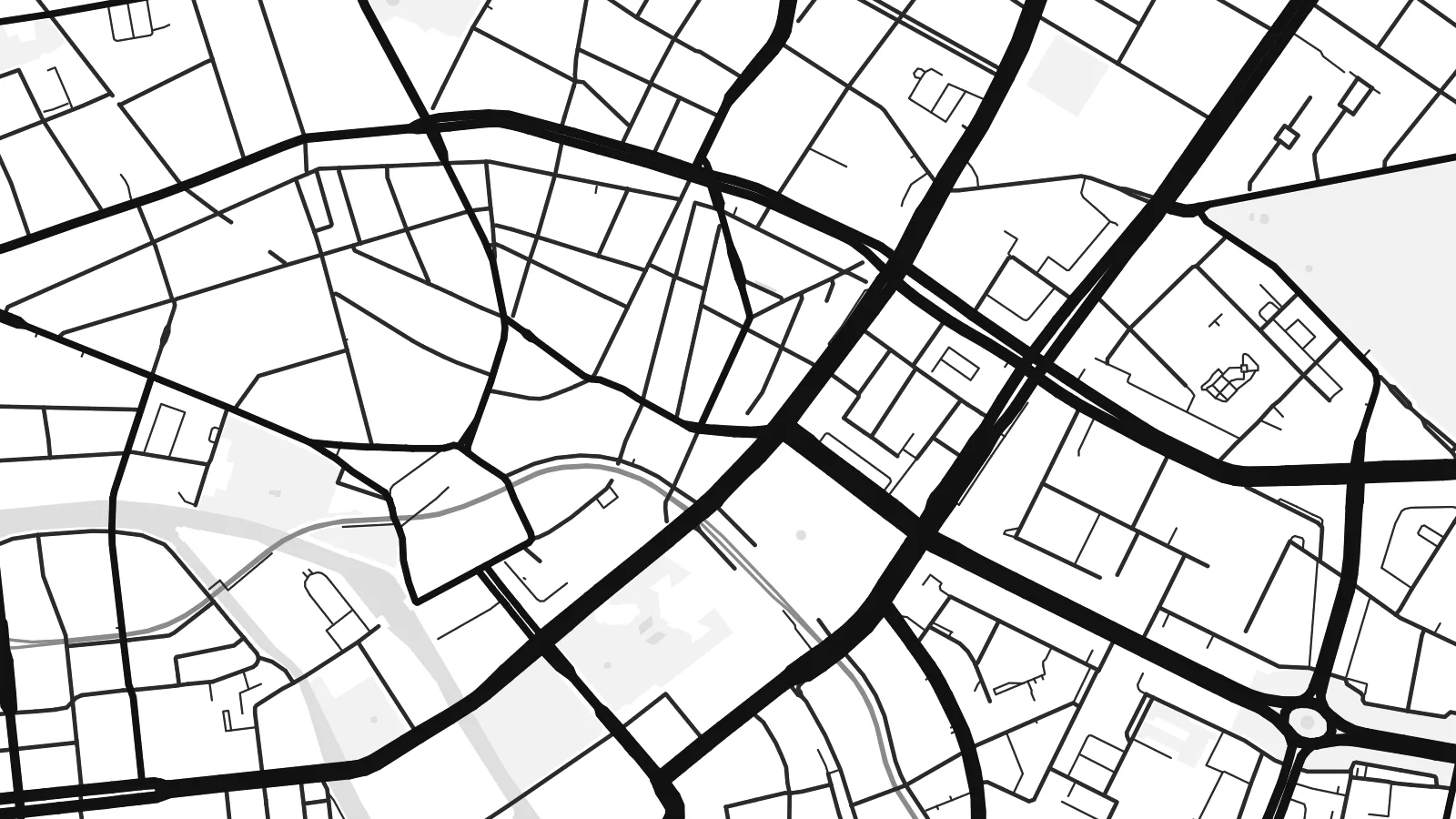 Pikiseli nyakuri · Dosiye yo gucapa ya 24 × 36″
Bisobanutse neza iyo bicapwe
Iki ni igice cya 100% cy'idosiye nyayo yo gucapa. Buri poster — yacapwe, ishyizwemo cadre cyangwa yakuwe kuri interineti — ikorwa kuri seriveri zacu ku 300 DPI, kugeza kuri pikiseli 7,200 × 10,800, bityo n'imihanda mito cyane igumana ubwiza ku gucapa kwa 24 × 36″.
Ku rukuta

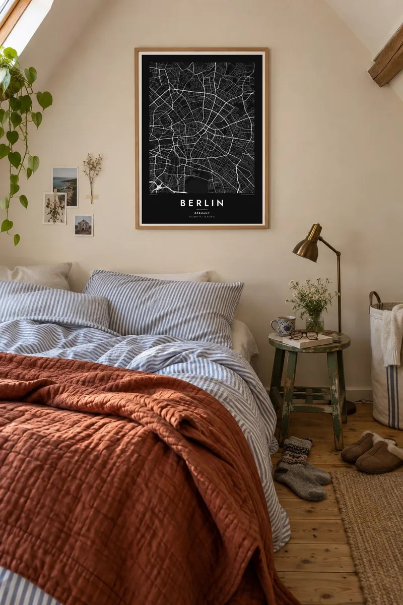
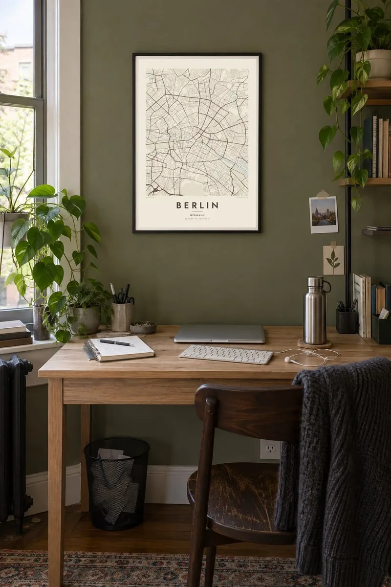
Ikarita
Berlin is large, spread out and surprisingly green. The street map shows a city assembled from many towns and villages, formally merged into Greater Berlin in 1920, so rather than one historic core there are several, each with its own knot of streets. Between them run broad avenues, rail corridors and wide open spaces that give the map room to breathe.
The Spree winds through the middle, splitting around Museum Island before continuing west past the government quarter and the Tiergarten, the great park that stretches from the Brandenburg Gate. Beyond the western districts the Havel widens into a chain of lakes including the Wannsee, and to the southeast the Müggelsee sits among forest. Water and woodland frame the city on almost every side.
The Berlin Wall divided the city from 1961 to 1989, and although it has largely vanished, its line still shows in places as a strip of parks, gaps and abrupt changes in street pattern. Around the centre, the Ringbahn traces a loop locals compare to a dog's head. A Berlin map poster holds all of it: divided history, open fields and quiet water.
At the northern end of an island in the Spree, a cluster of five museums forms a UNESCO World Heritage site, and on the map the river divides neatly to hold it.
Tempelhof Airport closed in 2008 and its airfield became a public park, leaving a vast open space in the south of the inner city with the outline of its two runways still visible.
Berlin's central park runs west from the Brandenburg Gate, cut straight through by the Straße des 17. Juni, with the Victory Column rising from the Großer Stern roundabout at its middle.
Yigire iyawe
Ongeraho itariki, izina cyangwa interuro yawe, uhindure imiterere, ingano cyangwa icyerekezo.
Urugero rw'ubuntu rufite ubwiza buke kandi rufite ikimenyetso cy'amazi. Poster zacapwe n'amadosiye ya HD bikorwa ku 300 DPI, kugeza kuri 7,200 × 10,800 px, nta kimenyetso cy'amazi.
Kuki Berlin
Berlin attracts people who stay longer than they planned. A map of the city suits anyone who moved there for a year and lingered for ten, who remembers it before the rents rose, or whose family story runs along one side of the old wall or the other.
Add a title and date that mean something to you, a neighbourhood, a street or a year, and choose from five styles: Classic black & white, Noir, Paper, Blueprint or Sand. Noir suits Berlin's long nights, while Paper brings out the soft outlines of its lakes and parks.
Tumiza poster ya Berlin| Ingano yo gucapa | Ubwiza bw'ifoto | Amadosiye |
|---|---|---|
| 30 × 40 cm (11.8 × 15.7″) | 3,543 × 4,724 px | PNG · PDF |
| 29.7 × 42 cm (A3, 11.7 × 16.5″) | 3,508 × 4,961 px | PNG · PDF |
| 42 × 59.4 cm (A2, 16.5 × 23.4″) | 4,961 × 7,016 px | PNG · PDF |
| 45.7 × 61 cm (18 × 24″) | 5,400 × 7,200 px | PNG · PDF |
| 50 × 70 cm (19.7 × 27.6″) | 5,906 × 8,268 px | PNG · PDF |
| 61 × 91.4 cm (24 × 36″) | 7,200 × 10,800 px | PNG · PDF |
Ugereranyije, igerageza ry'ubuntu rifite ubugari bwa 900 px, ririho ikirango kandi ryagenewe kurebwa kuri ecran. Amadosiye ya HD afite ubwiza bugera kuri 8× kuri buri ruhande kandi acapwa neza ku ngano yuzuye y'ipositeri.
Hitamo uburyo hejuru y'urupapuro, hanyuma uhitemo Poster Yacapwe — ingano n'niba ubishaka, cadre — cyangwa Amadosiye ya Digital HD. Kwishyura bikorwa mu ntambwe imwe, kandi urupapuro rw'ikurikirana ry'ibyo watumije ruvugururwa vuba nyuma yo kwishyura.
Icapwa ku rupapuro rwa mbere rwa 200 gsm rutagaragaza umucyo, mu ngano imwe muri esheshatu, kuva kuri 30 × 40 cm kugeza kuri 24 × 36″. Poster zacapwe zitangirira kuri {printFrom}, harimo no kohereza.
Yego. Hitamo cadre y'igiti gikomeye mu ibara ry'umukara, umweru, oak isanzwe cyangwa igiti cyijimye. Iza n'ikirahure kidacika kandi yiteguye kumanikwa. Poster zifite cadre zitangirira kuri {framedFrom}, harimo no kohereza.
Kohereza ni ubuntu ku isi yose. Buri poster icapwa n'umufatanyabikorwa wacu wo gucapa uri hafi mu bihugu birenga 30 kandi ikunze kugera mu minsi 3-7 y'akazi. Ushobora gukurikirana aho igeze munsi ya Ibyo Natumije.
Twoherereze ifoto mu minsi 14 ikurikira igihe cyo kuyakira, kandi tuzayicapa bundi bushya ku buntu cyangwa tukagusubiza amafaranga.
Yego. Muri editor iri kuri uru rupapuro, hindura umutwe, ikirongo cy'inyongera n'umurongo w'ibipimo ukagira icyo ushaka, hanyuma ugahitamo uburyo n'ingano. Amatumizo yacapwe, afite cadre n'aya digital yose akoresha ishushanyo ryawe nk'uko ryifashe.
Ku $9 ubona amadosiye ya PNG ya 300 DPI n'aya PDF yiteguye gucapwa mu ngano zose esheshatu, nta kimenyetso cy'amazi, ushobora gucapa aho ariho hose. Ntucyemeje? Banza umanure urugero rw'ubuntu rufite ikimenyetso cy'amazi.
