Mount Kanlaon
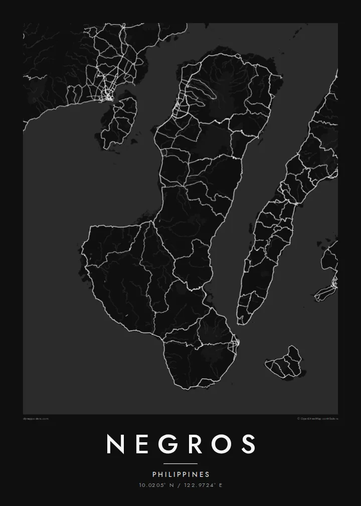
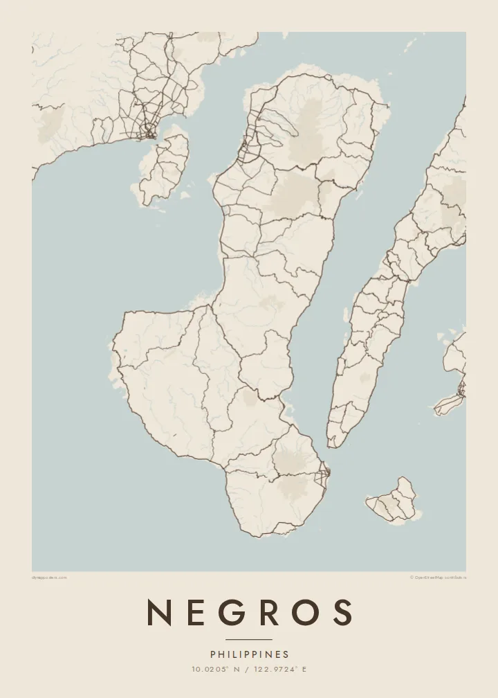
The active volcano dominates the northern half of the island, a wide cone surrounded by forest that pushes roads and towns out toward the coasts.
Ipositeri y'ikarita yoroheje · PH
10.0205° N / 122.9724° E
A boot-shaped Visayan island split by a volcanic spine, with sugar-cane plains on the west and a narrower coast to the east.



Umujyi umwe, imiterere itanu
Kanda uburyo bumwe kugira ngo ubibone ku rukuta. Buri buryo bufite igiciro kimwe — cyacapwe, gishyizwemo cadre cyangwa mu madosiye HD.
 Pikiseli nyakuri · Dosiye yo gucapa ya 24 × 36″
Bisobanutse neza iyo bicapwe
Iki ni igice cya 100% cy'idosiye nyayo yo gucapa. Buri poster — yacapwe, ishyizwemo cadre cyangwa yakuwe kuri interineti — ikorwa kuri seriveri zacu ku 300 DPI, kugeza kuri pikiseli 7,200 × 10,800, bityo n'imihanda mito cyane igumana ubwiza ku gucapa kwa 24 × 36″.
Ku rukuta


Ikarita
Negros is the fourth-largest island in the Philippines, a long landmass in the central Visayas that bends from north to south-east. A chain of mountains runs down its length and divides it in two, not only on the map but administratively: Negros Occidental on the western side and Negros Oriental on the eastern side face different seas and look toward different neighbouring islands.
Mount Kanlaon, an active stratovolcano and the highest peak in the Visayas, rises in the north-central part of the island. West of the mountains lie broad, flat plains long given over to sugar cane, and the map there fills with a dense lattice of farm roads and towns. Bacolod, the largest city, sits on this western coast facing Guimaras Strait and Panay.
On the south-east coast, Dumaguete is a university city with a seaside boulevard, looking out toward the island of Siquijor. A Negros map poster brings these two halves together: the orderly western plains, the volcanic ridge along the middle, the tighter, steeper eastern shore, and the coastal highway that loops around almost the whole island.
The active volcano dominates the northern half of the island, a wide cone surrounded by forest that pushes roads and towns out toward the coasts.
Between the mountains and Guimaras Strait, flat farmland carries a dense web of roads and towns, including Bacolod, Silay and Talisay, one after another along the coast.
At the south-east corner the city of Dumaguete gathers around its seafront boulevard and university campus, the densest cluster of streets on the Negros Oriental side.
Yigire iyawe
Ongeraho itariki, izina cyangwa interuro yawe, uhindure imiterere, ingano cyangwa icyerekezo.
Urugero rw'ubuntu rufite ubwiza buke kandi rufite ikimenyetso cy'amazi. Poster zacapwe n'amadosiye ya HD bikorwa ku 300 DPI, kugeza kuri 7,200 × 10,800 px, nta kimenyetso cy'amazi.
Kuki Negros
For many families Negros is home, whether their roots lie in a sugar town in the west or in a village above Dumaguete. The whole island on one sheet shows both provinces together and the mountains between them, a map that easily starts a conversation.
Label it with a family name, a hometown or a date that matters, and choose one of five styles, from Classic black & white and Noir to Paper, Blueprint and Sand. The $9 digital files come in six print sizes without a watermark, ready for any local printer.
Tumiza poster ya Negros| Ingano yo gucapa | Ubwiza bw'ifoto | Amadosiye |
|---|---|---|
| 30 × 40 cm11.8 × 15.7″ | 3,543 × 4,724 px | PNG · PDF |
| 29.7 × 42 cm (A3)11.7 × 16.5″ | 3,508 × 4,961 px | PNG · PDF |
| 42 × 59.4 cm (A2)16.5 × 23.4″ | 4,961 × 7,016 px | PNG · PDF |
| 45.7 × 61 cm18 × 24″ | 5,400 × 7,200 px | PNG · PDF |
| 50 × 70 cm19.7 × 27.6″ | 5,906 × 8,268 px | PNG · PDF |
| 61 × 91.4 cm24 × 36″ | 7,200 × 10,800 px | PNG · PDF |
Ugereranyije, igerageza ry'ubuntu rifite ubugari bwa 900 px, ririho ikirango kandi ryagenewe kurebwa kuri ecran. Amadosiye ya HD afite ubwiza bugera kuri 8× kuri buri ruhande kandi acapwa neza ku ngano yuzuye y'ipositeri.
Hitamo uburyo hejuru y'urupapuro, hanyuma uhitemo Poster Yacapwe — ingano n'niba ubishaka, cadre — cyangwa Amadosiye ya Digital HD. Kwishyura bikorwa mu ntambwe imwe, kandi urupapuro rw'ikurikirana ry'ibyo watumije ruvugururwa vuba nyuma yo kwishyura.
Icapwa ku rupapuro rwa mbere rwa 200 gsm rutagaragaza umucyo, mu ngano imwe muri esheshatu, kuva kuri 30 × 40 cm kugeza kuri 24 × 36″. Poster zacapwe zitangirira kuri $39, harimo no kohereza.
Yego. Hitamo cadre y'igiti gikomeye mu ibara ry'umukara, umweru, oak isanzwe cyangwa igiti cyijimye. Iza n'ikirahure kidacika kandi yiteguye kumanikwa. Poster zifite cadre zitangirira kuri $99, harimo no kohereza.
Kohereza ni ubuntu mu bihugu 60+. Buri cyapa gicapirwa n'umufatanyabikorwa wacu wa hafi mu bihugu 30+ dukorana mu gucapa, kandi gisanzwe kigera mu minsi y'akazi 3–7. Ushobora gukurikirana uko giteye n'aho kigeze muri «Ibyo naguze». Ibihugu bimwe bifata ibyumweru 2–5, kandi aho tutarahagera, urubuga rukubwira mbere y'uko wishyura.
Twoherereze ifoto mu minsi 14 ikurikira igihe cyo kuyakira, kandi tuzayicapa bundi bushya ku buntu cyangwa tukagusubiza amafaranga.
Yego. Muri editor iri kuri uru rupapuro, hindura umutwe, ikirongo cy'inyongera n'umurongo w'ibipimo ukagira icyo ushaka, hanyuma ugahitamo uburyo n'ingano. Amatumizo yacapwe, afite cadre n'aya digital yose akoresha ishushanyo ryawe nk'uko ryifashe.
Ku $9 ubona amadosiye ya PNG ya 300 DPI n'aya PDF yiteguye gucapwa mu ngano zose esheshatu, nta kimenyetso cy'amazi, ushobora gucapa aho ariho hose. Ntucyemeje? Banza umanure urugero rw'ubuntu rufite ikimenyetso cy'amazi.
Hafi aho
