Subic Bay
The deep, sheltered bay forms the western edge of the map, its coastline curving around the city and the former base, with piers and harbour structures along the shore.
Ipositeri y'ikarita yoroheje · PH
14.8292° N / 120.2828° E
A city pressed between the Zambales mountains and Subic Bay, its compact grid facing the former naval base across a narrow waterway.


Umujyi umwe, imiterere itanu
Kanda uburyo bumwe kugira ngo ubibone ku rukuta. Buri buryo bufite igiciro kimwe — cyacapwe, gishyizwemo cadre cyangwa mu madosiye HD.
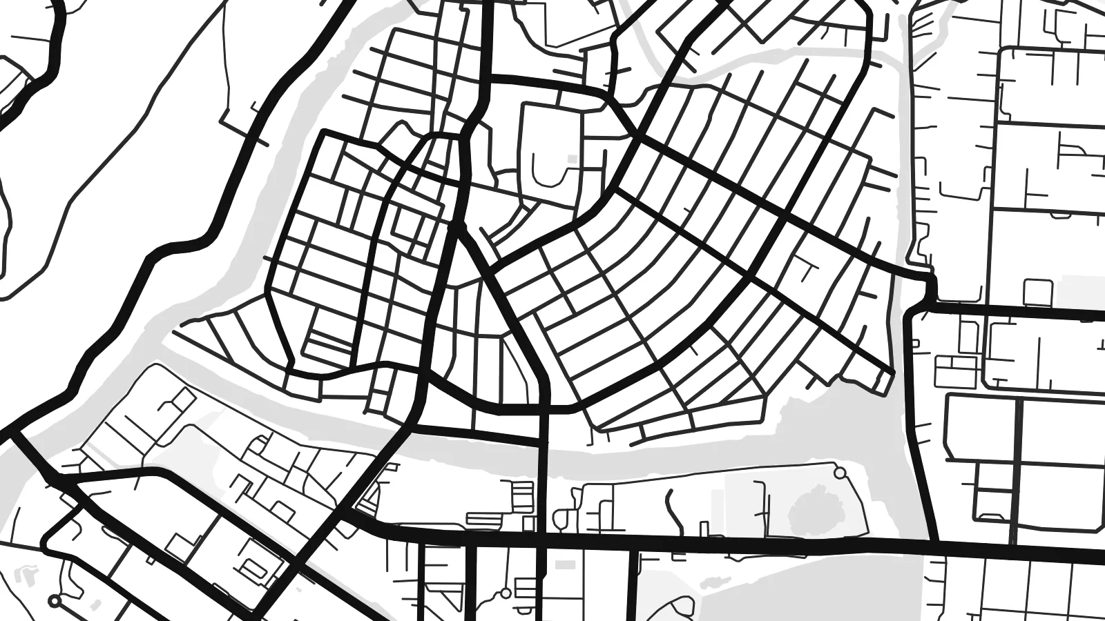 Pikiseli nyakuri · Dosiye yo gucapa ya 24 × 36″
Bisobanutse neza iyo bicapwe
Iki ni igice cya 100% cy'idosiye nyayo yo gucapa. Buri poster — yacapwe, ishyizwemo cadre cyangwa yakuwe kuri interineti — ikorwa kuri seriveri zacu ku 300 DPI, kugeza kuri pikiseli 7,200 × 10,800, bityo n'imihanda mito cyane igumana ubwiza ku gucapa kwa 24 × 36″.
Ku rukuta


Ikarita
Olongapo occupies a narrow strip of flat land at the head of Subic Bay, with forested hills of the Zambales range rising close behind. The downtown streets form a tight, regular grid squeezed between the slopes and the shore, and newer neighbourhoods climb into the valleys wherever the terrain allows. On the map, green hills press in from almost every side.
For much of the twentieth century the city's life was tied to the United States Naval Base Subic Bay, one of the largest American military installations abroad. When the base closed in 1992, its land was converted into the Subic Bay Freeport Zone, with a port, an airport and industrial areas. A small waterway and the main gate still mark the line between base and city.
The Olongapo map poster shows the two halves side by side: the dense civilian grid on one side, the spacious layout of the former base on the other, with its long waterfront and roads winding into the hills. It is an unusual portrait of how military history shapes a city's form, even decades after the base itself has gone.
The deep, sheltered bay forms the western edge of the map, its coastline curving around the city and the former base, with piers and harbour structures along the shore.
Between the hills and the water, central Olongapo is laid out in a compact grid of short blocks, one of the densest parts of the map.
The former naval base spreads across a large area beside the city, with broad roads, open spaces and waterfront facilities giving it a very different texture.
Yigire iyawe
Ongeraho itariki, izina cyangwa interuro yawe, uhindure imiterere, ingano cyangwa icyerekezo.
Urugero rw'ubuntu rufite ubwiza buke kandi rufite ikimenyetso cy'amazi. Poster zacapwe n'amadosiye ya HD bikorwa ku 300 DPI, kugeza kuri 7,200 × 10,800 px, nta kimenyetso cy'amazi.
Kuki Olongapo
Olongapo is remembered by many, including former service members, Filipino families and people who have worked in the freeport. The map brings together hills, bay and city in a composition that makes sense to all of them.
Add a title, a subtitle with a year or unit name, and adjust the coordinates line. Choose among five styles; Blueprint suits the naval history well. A free watermarked preview is available before buying the $9 HD files.
Tumiza poster ya Olongapo| Ingano yo gucapa | Ubwiza bw'ifoto | Amadosiye |
|---|---|---|
| 30 × 40 cm11.8 × 15.7″ | 3,543 × 4,724 px | PNG · PDF |
| 29.7 × 42 cm (A3)11.7 × 16.5″ | 3,508 × 4,961 px | PNG · PDF |
| 42 × 59.4 cm (A2)16.5 × 23.4″ | 4,961 × 7,016 px | PNG · PDF |
| 45.7 × 61 cm18 × 24″ | 5,400 × 7,200 px | PNG · PDF |
| 50 × 70 cm19.7 × 27.6″ | 5,906 × 8,268 px | PNG · PDF |
| 61 × 91.4 cm24 × 36″ | 7,200 × 10,800 px | PNG · PDF |
Ugereranyije, igerageza ry'ubuntu rifite ubugari bwa 900 px, ririho ikirango kandi ryagenewe kurebwa kuri ecran. Amadosiye ya HD afite ubwiza bugera kuri 8× kuri buri ruhande kandi acapwa neza ku ngano yuzuye y'ipositeri.
Hitamo uburyo hejuru y'urupapuro, hanyuma uhitemo Poster Yacapwe — ingano n'niba ubishaka, cadre — cyangwa Amadosiye ya Digital HD. Kwishyura bikorwa mu ntambwe imwe, kandi urupapuro rw'ikurikirana ry'ibyo watumije ruvugururwa vuba nyuma yo kwishyura.
Icapwa ku rupapuro rwa mbere rwa 200 gsm rutagaragaza umucyo, mu ngano imwe muri esheshatu, kuva kuri 30 × 40 cm kugeza kuri 24 × 36″. Poster zacapwe zitangirira kuri $39, harimo no kohereza.
Yego. Hitamo cadre y'igiti gikomeye mu ibara ry'umukara, umweru, oak isanzwe cyangwa igiti cyijimye. Iza n'ikirahure kidacika kandi yiteguye kumanikwa. Poster zifite cadre zitangirira kuri $99, harimo no kohereza.
Kohereza ni ubuntu mu bihugu 60+. Buri cyapa gicapirwa n'umufatanyabikorwa wacu wa hafi mu bihugu 30+ dukorana mu gucapa, kandi gisanzwe kigera mu minsi y'akazi 3–7. Ushobora gukurikirana uko giteye n'aho kigeze muri «Ibyo naguze». Ibihugu bimwe bifata ibyumweru 2–5, kandi aho tutarahagera, urubuga rukubwira mbere y'uko wishyura.
Twoherereze ifoto mu minsi 14 ikurikira igihe cyo kuyakira, kandi tuzayicapa bundi bushya ku buntu cyangwa tukagusubiza amafaranga.
Yego. Muri editor iri kuri uru rupapuro, hindura umutwe, ikirongo cy'inyongera n'umurongo w'ibipimo ukagira icyo ushaka, hanyuma ugahitamo uburyo n'ingano. Amatumizo yacapwe, afite cadre n'aya digital yose akoresha ishushanyo ryawe nk'uko ryifashe.
Ku $9 ubona amadosiye ya PNG ya 300 DPI n'aya PDF yiteguye gucapwa mu ngano zose esheshatu, nta kimenyetso cy'amazi, ushobora gucapa aho ariho hose. Ntucyemeje? Banza umanure urugero rw'ubuntu rufite ikimenyetso cy'amazi.
Hafi aho
