White River meanders
The river loops through Anderson in wide curves, and its tree-lined floodplain appears as a soft, irregular ribbon cutting across the otherwise rectangular pattern of Indiana streets.
Minimalistický mapový plagát · Spojené štáty
40.1053° N / 85.6803° W
A Hoosier city laid out along the looping White River, with an older grid downtown and wide industrial tracts around it.


Jedno mesto, päť nálad
Klepnutím na štýl si ho pozrite na stene. Všetky štýly stoja rovnako — tlačené, zarámované aj ako HD súbory.
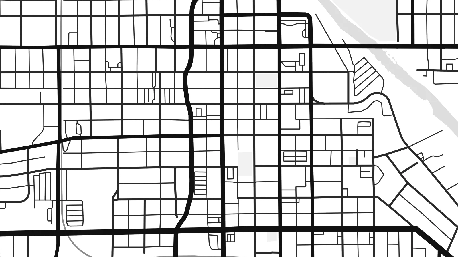 Skutočné pixely · tlačový súbor 24 × 36″
Ostré ako pri tlači
Toto je 100% výrez zo skutočného tlačového súboru. Každý plagát — tlačený, zarámovaný alebo stiahnutý — vykresľujeme na našich serveroch pri 300 DPI, až do 7,200 × 10,800 pixelov, takže aj tie najmenšie uličky zostanú ostré na tlači 24 × 36″.
Na stene


Mapa
Anderson, the seat of Madison County in central Indiana, grew along the West Fork of the White River, and the river still sets the tone of the map. It enters from the east, swings in broad meanders past the downtown and leaves a band of wooded floodplain that separates neighbourhoods on either bank. Bridges cross at intervals, each one a small pinch point in the street network.
For much of the twentieth century Anderson was a centre of automotive parts manufacturing, with General Motors divisions such as Delco Remy and Guide Lamp employing thousands. Many of those plants are gone, but their footprints remain visible as large open parcels and rail spurs beside the regular grid of the older town. Anderson University, founded by the Church of God, adds a campus of lawns and paths east of the centre.
Just east of the city, Mounds State Park preserves earthworks built by Adena and Hopewell peoples roughly two thousand years ago, set on a bluff above the same river. An Anderson map poster can include that stretch of water and woodland, framing the town between its industrial past and a much older landscape. Interstate 69 runs along the eastern flank and closes the composition neatly.
The river loops through Anderson in wide curves, and its tree-lined floodplain appears as a soft, irregular ribbon cutting across the otherwise rectangular pattern of Indiana streets.
The original town centre sits on a compact grid close to the river, a tight cluster of short blocks that contrasts clearly with the looser residential streets and commercial roads beyond.
East of town, the park's ancient earthworks sit above a bend of the White River, where footpaths and woodland give the edge of the map an irregular, quieter texture.
Prispôsobte si ho
Pridajte dátum, meno alebo vlastný text, zmeňte štýl, veľkosť či orientáciu.
Bezplatný náhľad má nízke rozlíšenie a vodoznak. Tlače a HD súbory sa vykresľujú pri 300 DPI, až do 7,200 × 10,800 px, bez vodoznaku.
Prečo Anderson
Anderson is a city of long family ties, of factory shifts and university years, and many people who left still carry its street names with them. A map on the wall keeps the river bends and the old grid close, whether you live there now or grew up there.
Personalise the title, subtitle and coordinates, perhaps with a graduation year or the date you moved, and pick one of five styles: Classic black & white, Noir, Paper, Blueprint or Sand. A free 900 px preview lets you check the framing before buying.
Objednať plagát Anderson| Veľkosť tlače | Rozlíšenie | Súbory |
|---|---|---|
| 30 × 40 cm11.8 × 15.7″ | 3,543 × 4,724 px | PNG · PDF |
| 29.7 × 42 cm (A3)11.7 × 16.5″ | 3,508 × 4,961 px | PNG · PDF |
| 42 × 59.4 cm (A2)16.5 × 23.4″ | 4,961 × 7,016 px | PNG · PDF |
| 45.7 × 61 cm18 × 24″ | 5,400 × 7,200 px | PNG · PDF |
| 50 × 70 cm19.7 × 27.6″ | 5,906 × 8,268 px | PNG · PDF |
| 61 × 91.4 cm24 × 36″ | 7,200 × 10,800 px | PNG · PDF |
Pre porovnanie: bezplatný náhľad má šírku 900 px, obsahuje vodoznak a je určený na obrazovky. HD súbory majú až 8× vyššie rozlíšenie v každom smere a čisto sa vytlačia aj vo veľkosti plagátu.
Vyberte si štýl v hornej časti stránky a potom zvoľte Tlačený plagát — veľkosť a prípadne rám — alebo Digitálne HD súbory. Objednávka prebehne na jeden krok a stránka objednávky sa aktualizuje hneď po spracovaní platby.
Tlačí sa na prémiový matný papier 200 g/m² v jednej zo šiestich veľkostí, od 30 × 40 cm až po 24 × 36″. Tlačené plagáty začínajú na $39, doprava v cene.
Áno. Vyberte si rám z masívneho dreva v čiernej, bielej, prírodnej dubovej alebo tmavej farbe. Súčasťou je nerozbitné sklo a je pripravený na zavesenie. Zarámované plagáty začínajú na $99, doprava v cene.
Doprava je zadarmo do 60+ krajín. Každý plagát tlačí najbližší z našich tlačiarenských partnerov v 30+ krajinách a zvyčajne dorazí do 3–7 pracovných dní. Stav zásielky a sledovanie nájdete v časti Moje objednávky. Do niektorých krajín trvá doručenie 2–5 týždňov a ak do vašej krajiny zatiaľ neposielame, stránka vás na to upozorní ešte pred platbou.
Pošlite nám fotografiu do 14 dní od doručenia a my ho zadarmo vytlačíme znova, alebo vám vrátime peniaze.
Áno. V editore na tejto stránke si podľa ľubovôle zmeňte nadpis, podnadpis aj riadok so súradnicami a vyberte štýl a veľkosť. Tlačené, zarámované aj digitálne objednávky použijú presne váš návrh.
Za $9 získate PNG súbory s rozlíšením 300 DPI a tlačovo pripravené PDF súbory vo všetkých šiestich veľkostiach, bez vodoznaku, na tlač kdekoľvek. Ešte si nie ste istí? Najprv si stiahnite bezplatný náhľad s vodoznakom.
