Ždrelac bridge
A short road bridge at the northern tip crosses the narrow strait to Ugljan. It is the one point where the island's main road leaves Pašman without a boat.
Minimalističen plakat z zemljevidom · Hrvaška
43.9540° N / 15.3539° E
A long, slender Dalmatian island running parallel to the coast, joined to Ugljan by a short bridge at its northern tip.
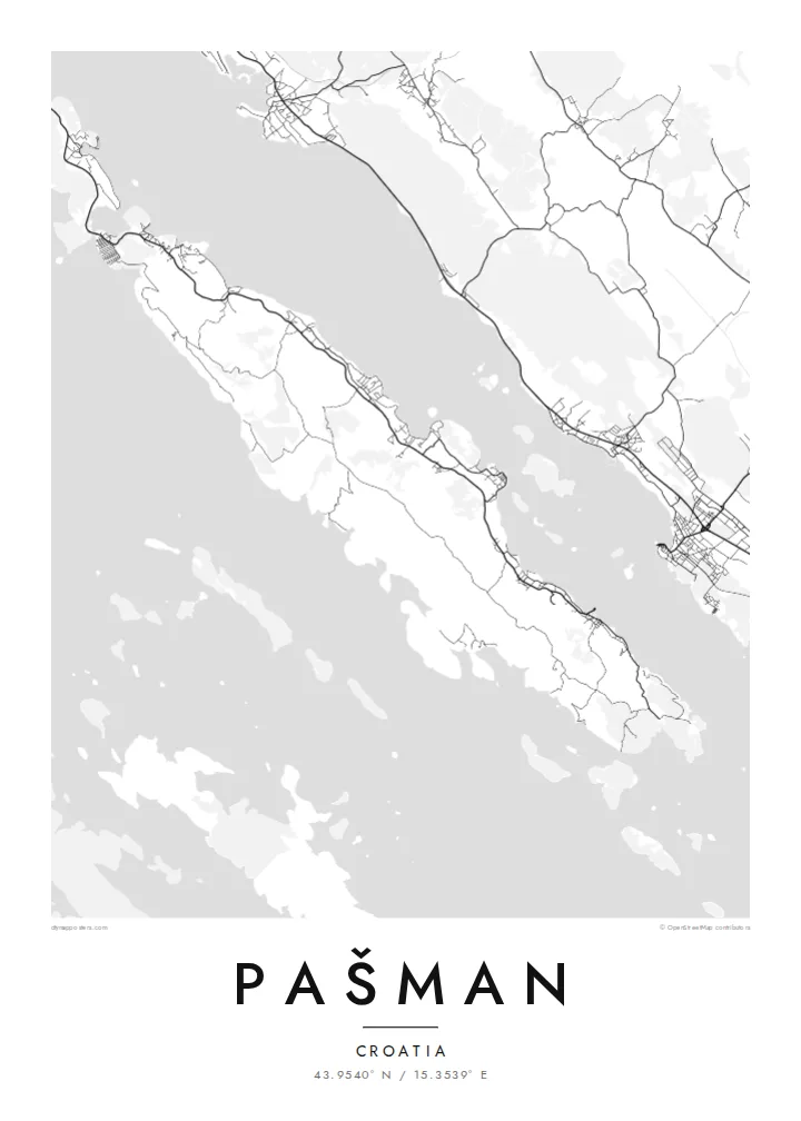


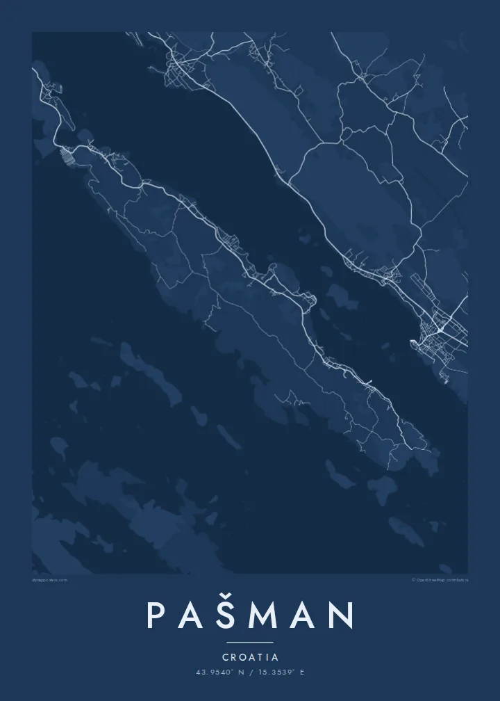
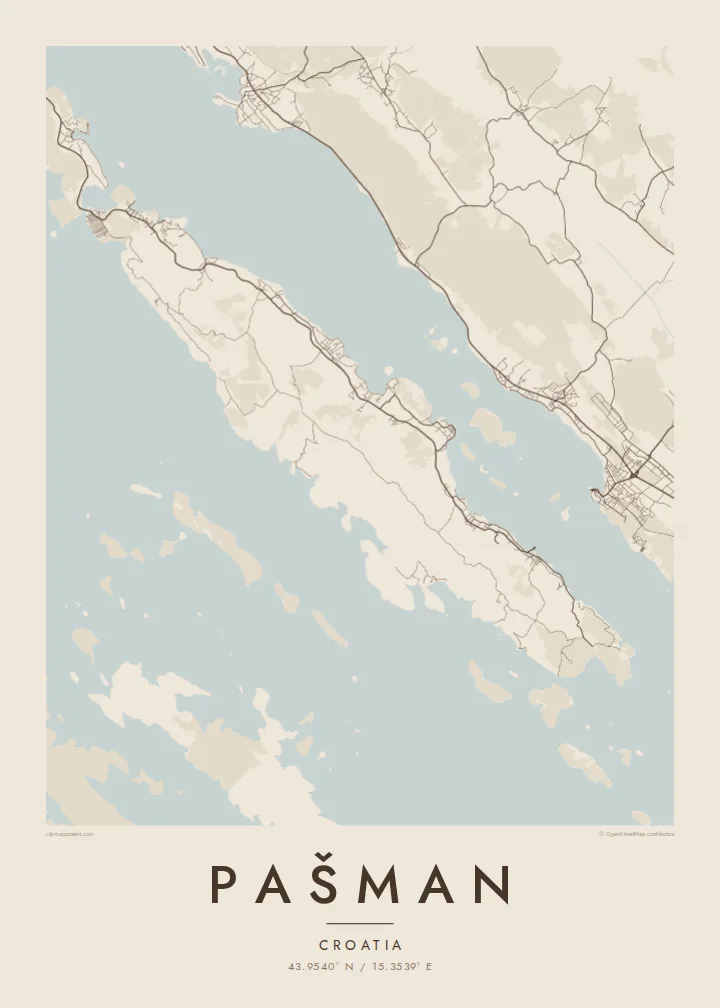
Eno mesto, pet razpoloženj
Dotaknite se stila, da ga vidite na steni. Vsi stili stanejo enako — natisnjen, uokvirjen ali kot HD datoteke.
 Dejanski slikovni piki · datoteka za tisk 24 × 36″
Ostro za tisk
To je 100-odstotni izrez dejanske datoteke za tisk. Vsak poster — natisnjen, uokvirjen ali prenesen — izrišemo na naših strežnikih pri 300 DPI, do 7,200 × 10,800 slikovnih pik, tako da tudi najmanjše ulice ostanejo ostre na tisku 24 × 36″.
Na steni


Zemljevid
Pašman is a narrow island in the Zadar archipelago, stretching along the Pašman Channel opposite Biograd na Moru on the mainland. From above it is a long ribbon of land running northwest to southeast. A string of villages lines the sheltered channel shore, and a rougher, emptier coast faces the outer islands on the other side.
At the northern end a small bridge over the Ždrelac strait links Pašman to Ugljan, so on a map the two islands read almost as one long, broken line. A ferry connects Tkon, on the channel side, with Biograd. On the ground, olive groves, vineyards and dry-stone walls cover much of the land and divide the slopes into small plots.
On a hill above Tkon stands the Benedictine monastery of Ćokovac, one of the few active Benedictine communities in Croatia. A Pašman map poster works well in a tall format. It follows the island's length and leaves room for the channel and the mainland shore beside it, which is the view most people have when they arrive.
A short road bridge at the northern tip crosses the narrow strait to Ugljan. It is the one point where the island's main road leaves Pašman without a boat.
Settlements such as Tkon and Pašman line the sheltered eastern shore. Each is a small knot of lanes and harbour walls facing Biograd across the water.
The southwestern side looks toward a scatter of smaller islands in the direction of the Kornati. It has few roads and a quieter, more indented shoreline of coves and small bays.
Naj bo vaš
Dodajte datum, ime ali svoje besedilo, zamenjajte slog, velikost ali usmerjenost.
Brezplačen predogled je nizke ločljivosti in z vodnim žigom. Natisi in HD datoteke so izrisani pri 300 DPI, do 7,200 × 10,800 px, brez vodnega žiga.
Zakaj Pašman
Pašman is a place people return to: sailors who anchor in its coves every summer, families with a house in one of the channel villages, visitors who cycle from Tkon to the bridge. Its slim outline makes an elegant, understated poster, particularly in a narrow hallway or beside a window.
Personalise the title with the name of your village or boat, add a year to the subtitle, and keep or edit the coordinates line. Choose from Classic black & white, Noir, Paper, Blueprint and Sand. HD files in six sizes cost $9, and printed matte posters can come in a wooden frame.
Naročite poster Pašman| Velikost tiska | Ločljivost | Datoteke |
|---|---|---|
| 30 × 40 cm (11.8 × 15.7″) | 3,543 × 4,724 px | PNG · PDF |
| 29.7 × 42 cm (A3, 11.7 × 16.5″) | 3,508 × 4,961 px | PNG · PDF |
| 42 × 59.4 cm (A2, 16.5 × 23.4″) | 4,961 × 7,016 px | PNG · PDF |
| 45.7 × 61 cm (18 × 24″) | 5,400 × 7,200 px | PNG · PDF |
| 50 × 70 cm (19.7 × 27.6″) | 5,906 × 8,268 px | PNG · PDF |
| 61 × 91.4 cm (24 × 36″) | 7,200 × 10,800 px | PNG · PDF |
Za primerjavo: brezplačni predogled je širok 900 px, ima vodni žig in je namenjen zaslonom. Datoteke HD imajo do 8-krat večjo ločljivost v vsako smer in se čisto natisnejo v polni velikosti plakata.
Izberite stil na vrhu strani, nato izberite Natisnjen poster — velikost in, če želite, okvir — ali Digitalne HD datoteke. Nakup je zaključen v enem koraku, stran naročila pa se posodobi takoj, ko je plačilo izvedeno.
Natisnjen je na premium mat papir 200 gsm v eni od šestih velikosti, od 30 × 40 cm do 24 × 36″. Natisnjeni posterji se začnejo pri {printFrom}, vključno s dostavo.
Da. Izberite okvir iz masivnega lesa v črni, beli, naravni hrastovi ali temni lesni barvi. Ima nezlomljivo steklo in je pripravljen za obešanje. Uokvirjeni posterji se začnejo pri {framedFrom}, vključno s dostavo.
Dostava je brezplačna po vsem svetu. Vsak poster natisne najbližji od naših tiskarskih partnerjev v več kot 30 državah in običajno prispe v 3–7 delovnih dneh. Stanje in sledenje lahko spremljate pod Moja naročila.
Pošljite nam fotografijo v 14 dneh po dostavi in ga bomo brezplačno ponovno natisnili ali vam povrnili denar.
Da. V urejevalniku na tej strani spremenite naslov, podnaslov in vrstico s koordinatami po želji ter izberite stil in velikost. Natisnjena, uokvirjena in digitalna naročila vsa uporabijo prav vaš dizajn.
Za $9 dobite PNG datoteke s 300 DPI in PDF datoteke, pripravljene za tisk, v vseh šestih velikostih, brez vodnega žiga, da jih lahko natisnete kjerkoli. Še niste prepričani? Najprej prenesite brezplačen predogled z vodnim žigom.
V bližini
