The curled tip
Provincetown sits inside the final hook of sand, its streets following the harbour in a long, thin strip with dunes behind them.
Bango la ramani la kisasa · Marekani
41.7987° N / 70.3085° W
A peninsula bent like a flexed arm, curling north to a sandy hook at Provincetown and cut from the mainland by a canal


Mji mmoja, hisia tano
Gusa mtindo ili kuuona ukutani. Mitindo yote yana bei sawa — iliyochapishwa, yenye fremu au kama faili za HD.
 Pikseli halisi · faili la kuchapisha 24 × 36″
Makali ya kuchapisha
Hii ni sehemu ya 100% ya faili halisi la kuchapisha. Kila bango — likiwa limechapishwa, lenye fremu au lililopakuliwa — huundwa kwenye seva zetu kwa 300 DPI, hadi pikseli 7,200 × 10,800, ili hata njia ndogo kabisa zibaki wazi kwenye uchapishaji wa 24 × 36″.
Ukutani
Ramani
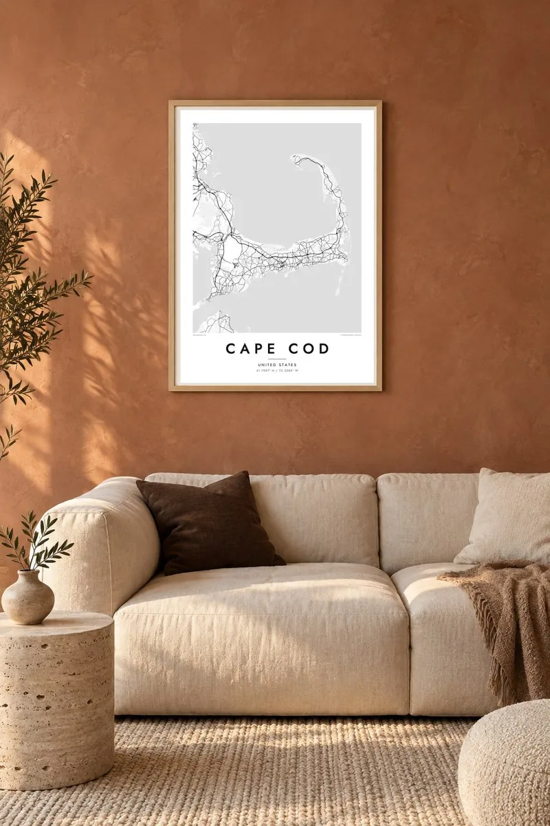
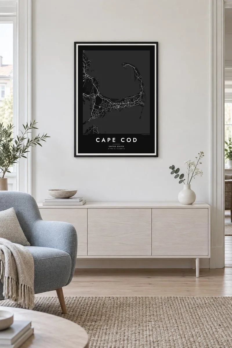
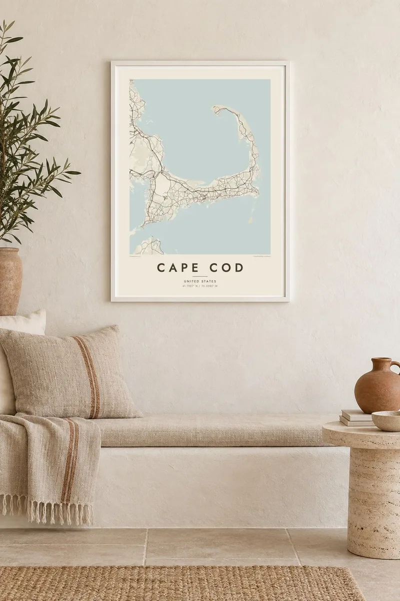
Cape Cod reaches into the Atlantic from southeastern Massachusetts, and its outline is one of the most recognisable on the American coast. The land runs east from the mainland, turns north at the elbow near Chatham and ends in a curled fist of dunes around Provincetown. The inner curve encloses Cape Cod Bay, while the outer shore faces the open ocean.
The Pilgrims first anchored in Provincetown Harbor in 1620 and signed the Mayflower Compact there before sailing on to Plymouth. The Cape Cod Canal opened across the base of the peninsula in 1914, and today two high bridges, the Bourne and the Sagamore, carry traffic over it. Much of the outer shore is protected as the Cape Cod National Seashore.
A Cape Cod map poster shows land dotted with ponds, many of them kettle ponds left behind by retreating glaciers, along with harbours, salt marshes and long barrier beaches. Route 6 runs the length of the Cape as its main spine, and the village centres on both shores appear as small street networks among winding lanes and inlets.
Provincetown sits inside the final hook of sand, its streets following the harbour in a long, thin strip with dunes behind them.
A straight channel cuts across the base of the peninsula, crossed by the Bourne and Sagamore bridges, visibly separating the Cape from the mainland.
Hundreds of small, rounded ponds are scattered across the interior, giving the land a speckled texture unlike any other stretch of the New England coast.
Ifanye iwe yako
Ongeza tarehe, jina au maneno yako mwenyewe, badilisha mtindo, saizi au mkao.
Onyesho la bure lina ubora wa chini na alama ya maji. Machapisho na faili za HD huundwa kwa 300 DPI, hadi px 7,200 × 10,800, bila alama ya maji.
Kwa nini Cape Cod
For families with a summer cottage, a favourite beach or a long history of trips over the Sagamore Bridge, the whole Cape in one frame makes a natural keepsake. Personalise the title with a town or family name, and use the subtitle for a year or a date.
Pick from Classic black & white, Noir, Paper, Blueprint and Sand. A free 900 px watermarked preview shows the composition before you buy, and printed posters on matte paper can be ordered with a wooden frame from partners in more than 30 countries.
Agiza bango la Cape Cod| Saizi ya kuchapisha | Ubora | Faili |
|---|---|---|
| 30 × 40 cm (11.8 × 15.7″) | 3,543 × 4,724 px | PNG · PDF |
| 29.7 × 42 cm (A3, 11.7 × 16.5″) | 3,508 × 4,961 px | PNG · PDF |
| 42 × 59.4 cm (A2, 16.5 × 23.4″) | 4,961 × 7,016 px | PNG · PDF |
| 45.7 × 61 cm (18 × 24″) | 5,400 × 7,200 px | PNG · PDF |
| 50 × 70 cm (19.7 × 27.6″) | 5,906 × 8,268 px | PNG · PDF |
| 61 × 91.4 cm (24 × 36″) | 7,200 × 10,800 px | PNG · PDF |
Kwa kulinganisha, hakikisho la bure lina upana wa px 900, lina alama ya maji na limekusudiwa kwa skrini. Faili za HD zina ubora hadi mara 8 zaidi kila upande na huchapishwa vizuri kwa saizi kamili ya bango.
Chagua mtindo juu ya ukurasa, kisha chagua Bango Lililochapishwa — ukubwa na, ukipenda, fremu — au Faili za Kidijitali za HD. Malipo huchukua hatua moja tu, na ukurasa wa agizo lako husasishwa mara malipo yanapokamilika.
Huchapishwa kwenye karatasi bora ya matte ya 200 gsm katika mojawapo ya ukubwa sita, kutoka 30 × 40 cm hadi 24 × 36″. Mabango yaliyochapishwa huanzia {printFrom}, ikijumuisha usafirishaji.
Ndiyo. Chagua fremu ya mbao thabiti katika rangi nyeusi, nyeupe, mwaloni wa asili au mbao nyeusi. Inakuja na kioo kisichovunjika na iko tayari kuning'inizwa. Mabango yenye fremu huanzia {framedFrom}, ikijumuisha usafirishaji.
Usafirishaji ni bure duniani kote. Kila bango huchapishwa na mshirika wetu wa uchapishaji aliye karibu zaidi katika nchi zaidi ya 30 na kwa kawaida hufika ndani ya siku 3–7 za kazi. Unaweza kufuatilia hali na ufuatiliaji chini ya Maagizo Yangu.
Tutumie picha ndani ya siku 14 baada ya kufika na tutalichapisha upya bila malipo au kukurejeshea pesa.
Ndiyo. Kwenye kihariri cha ukurasa huu, badilisha kichwa, kichwa kidogo na mstari wa kuratibu kuwa chochote unachopenda, kisha chagua mtindo na ukubwa. Maagizo yaliyochapishwa, yenye fremu na ya kidijitali yote hutumia muundo wako hasa.
Kwa $9 unapata faili za PNG za 300 DPI na PDF tayari kuchapishwa katika ukubwa wote sita, bila alama ya maji, ili uchapishe popote. Bado huna uhakika? Pakua kwanza onyesho la bure lenye alama ya maji.
Karibu
