Meeting grids
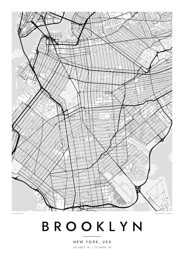
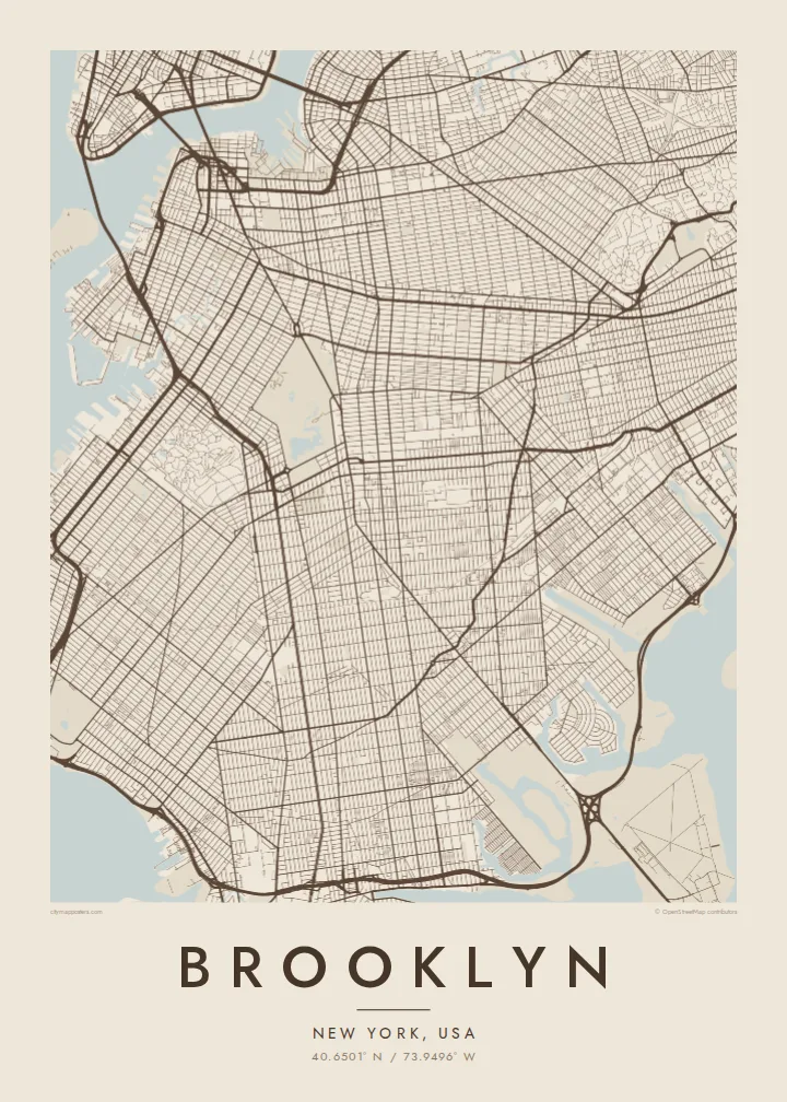
Brooklyn's streets form several grids that meet at different angles, following the plans of earlier towns. This makes the map more varied than Manhattan's.
Póster mapa minimalista · United States
40.6501° N / 73.9496° W
A borough of colliding street grids, a great park and long shorelines facing Manhattan and the Atlantic


Sidade ida, estilu lima
Hili estilu ida atu haree oinsá nia sai iha didin. Estilu hotu-hotu iha folin hanesan — imprime, kaixa moldura ka arkivu HD.
 Pixel loloos · arkivu imprime 24 × 36″
Moos atu imprime
Ida ne'e mak crop 100% husi arkivu imprime loloos. Poster ida-idak — imprime, kaixa moldura ka download — ami halo iha ami-nia servidor ho 300 DPI, to'o 7,200 × 10,800 pixel, atu dalan ki'ik liu mós sai klaru iha imprime 24 × 36″.
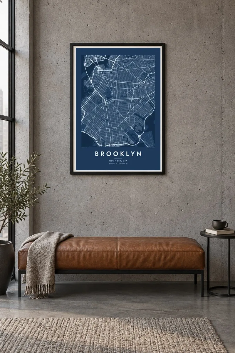
Iha Parede


Mapa
Brooklyn occupies the western end of Long Island, facing Manhattan across the East River. From above, it is a patchwork of street grids that meet at different angles. Each grid reflects the villages and towns that were joined together as Brooklyn grew into a city of its own, before becoming part of New York City in 1898.
Prospect Park forms a large green space in the middle of the borough, next to Green-Wood Cemetery with its winding paths. The Gowanus Canal cuts a straight line inland from the harbour. Long avenues, such as Ocean Parkway, run toward the southern shore and Coney Island.
The Brooklyn Bridge and Manhattan Bridge link the borough to Manhattan in the northwest. To the southeast, Jamaica Bay's marshes and islands form an irregular edge. A Brooklyn map poster shows how the grids, parks and waterfronts fit together in this large and varied borough.
Brooklyn's streets form several grids that meet at different angles, following the plans of earlier towns. This makes the map more varied than Manhattan's.
A large park in the centre of the borough, with meadows, woods and a lake. On the map it forms a big green shape surrounded by dense blocks.
This narrow, straight canal runs inland from the harbour, cutting through the street grid in a clear line near Park Slope and Carroll Gardens.
Halo ita-nia póster rasik
Aumenta data, naran ka liafuan rasik, troka estilu, tamañu ka orientasaun.
Preview grátis nian rezolusaun ki'ik no iha marka bee. Imprime no arkivu HD ami halo ho 300 DPI, to'o 7,200 × 10,800 px, laiha marka bee.
Tanba sa Brooklyn
Brooklyn is home to many people who identify with their neighbourhood as strongly as with the city itself. A map of the grids, the park and the shorelines is a personal way to mark that connection.
You can set your own title, subtitle and coordinates, for example your neighbourhood or a moving date, and choose from Classic black & white, Noir, Paper, Blueprint and Sand. Get it as a digital file or printed poster.
Enkomenda poster Brooklyn| Tamañu imprime | Rezolusaun | Arkivu |
|---|---|---|
| 30 × 40 cm11.8 × 15.7″ | 3,543 × 4,724 px | PNG · PDF |
| 29.7 × 42 cm (A3)11.7 × 16.5″ | 3,508 × 4,961 px | PNG · PDF |
| 42 × 59.4 cm (A2)16.5 × 23.4″ | 4,961 × 7,016 px | PNG · PDF |
| 45.7 × 61 cm18 × 24″ | 5,400 × 7,200 px | PNG · PDF |
| 50 × 70 cm19.7 × 27.6″ | 5,906 × 8,268 px | PNG · PDF |
| 61 × 91.4 cm24 × 36″ | 7,200 × 10,800 px | PNG · PDF |
Atu kompara, previzaun gratuita luan 900 px, iha marka d'água no ba ekrã de'it. Arkivu HD iha rezolusaun to'o dala 8 boot liu iha direksaun ida-idak no imprime moos iha tamañu póster kompletu.
Hili estilu ida iha leten pájina, depois hili Poster Imprime — hili tamañu ida no, se hakarak, moldura ida — ka Arkivu Digital HD. Pagamentu halo iha pasu ida deit, no pájina enkomenda sei update kedas hafoin pagamentu remata.
Ami imprime iha papel matte kualidade aas 200 gsm, iha tamañu neen, husi 30 × 40 cm to'o 24 × 36″. Poster imprime hahú husi $39, haruka livre.
Bele. Hili moldura kayu solidu kór metan, mutin, oak natural ka kayu nakukun. Mai ho vidru la-kilat no prontu atu kandu iha didin. Poster ho moldura hahú husi $99, haruka livre.
Entrega gratuita ba país 60+. Poster ida-idak ami-nia parseiru impresaun besik liu mak imprime iha país 30+ no normalmente to'o iha loron-servisu 3–7. Ita bele haree estatutu no rastreiu iha Ha'u-nia Enkomenda. Países balu presiza semana 2–5, no iha fatin ne'ebé ami seidauk entrega, site sei hatete ba ita molok selu.
Haruka foto ba ami iha loron 14 hafoin simu, no ami sei imprime fali ho grátis ka selu fila fali osan.
Bele. Iha editor iha pájina ne'e, troka titulu, subtitulu no liña koordenadas ba buat ne'ebé ita hakarak, depois hili estilu no tamañu. Enkomenda imprime, moldura ka digital hotu-hotu uza sasán ita-nia desain loloos.
Ho $9 ita simu arkivu PNG 300 DPI no PDF prontu-imprime iha tamañu neen hotu, laiha marka bee, atu imprime iha fatin ida-ida. Seidauk lai serteza? Download uluk preview grátis ho marka bee.
